The European Honeybee is needed to pollinate canola and farmed legumes in Australia and I love honey.
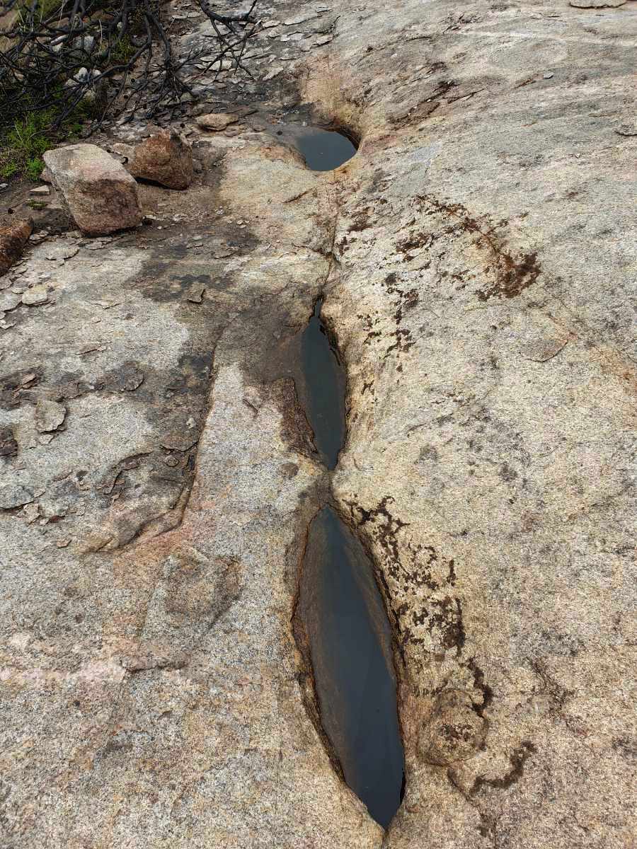
Unfortunately feral honeybees have damaged biodiversity in our bush. Honeybee hives have displaced native birds and animals from their nesting places in trees and outcompete many native bees. Following images show a feral bee nest, which was exposed when a wandoo limb fell. This hollow was used by nesting galahs before the bees moved in. I also found a pair of overlapping bee wedges in the bush one drizzly morning formed from overlapping workers in a swarm protecting the queen from the rain. Tough critters!
Unfortunately feral honeybees have damaged biodiversity in our bush. Honeybee hives have displaced native birds and animals from their nesting places in trees and outcompete many native bees. Following images show a feral bee nest, which was exposed when a wandoo limb fell. This hollow was used by nesting galahs before the bees moved in. I also found a pair of overlapping bee wedges in the bush one drizzly morning formed from overlapping workers in a swarm protecting the queen from the rain. Tough critters!
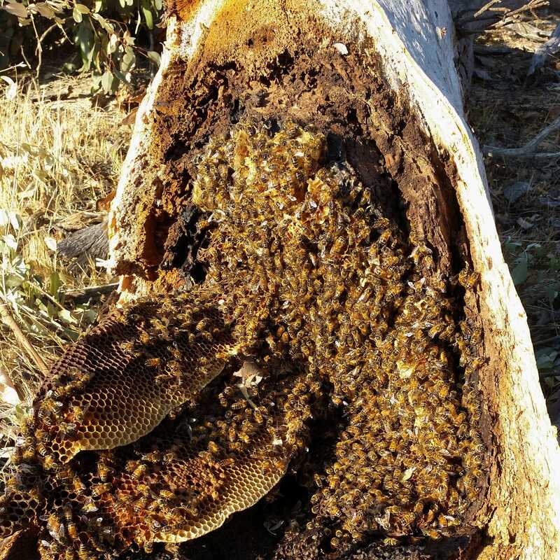 Exposed honeybee nest | 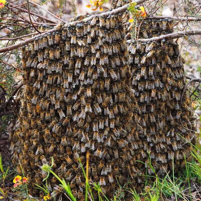 Bee swarm resting in rain | 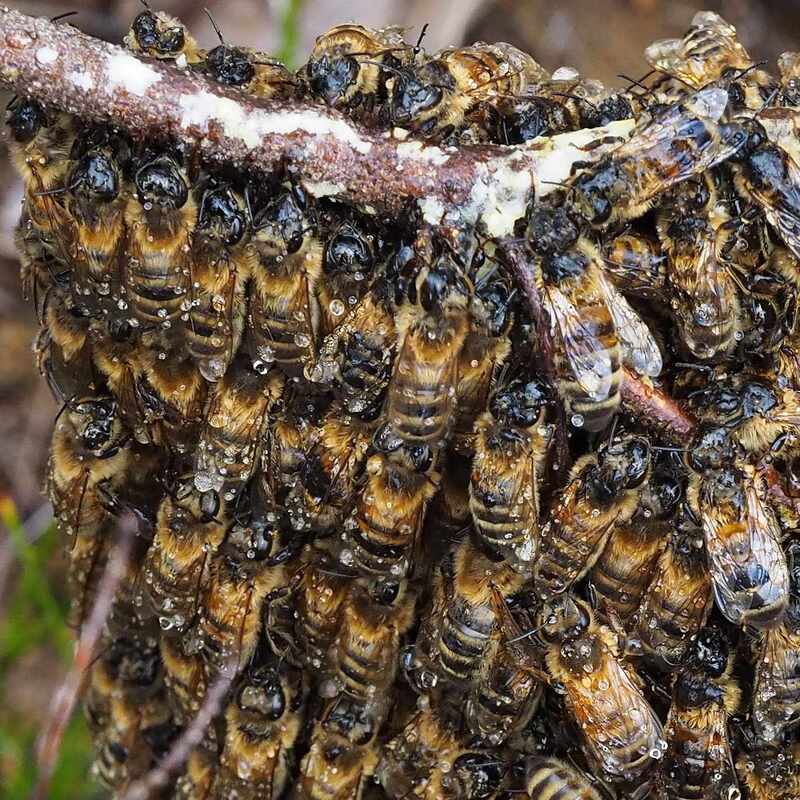 Overlapping workers repel rain |
 Hylaeus sp. a Banksia specialist. Image Melanie Cooper
 There are about 800 native bee species in WA and over 100 in the Narrogin area. I have a huge melaleuca paperbark tree in my Narrogin garden, which is a major nectar source. When it flowers in autumn, we call it a 'humming tree' because of the huge number of visiting honey bees. It is also popular with honeyeaters, but I haven't seen any native bees.
Our native bees are all solitary, with a single generation life cycle each year. Each adult bees usually lives for about 4-5 weeks each year, with the bulk of its life spent in its nest as a larva/pupa or being dormant. The adult population peaks in (mostly) spring/ summer, or autumn/winter. Some native bees are specialist, which depend on a certain group of native plants. These are the most threatened by generalist competitors and fragmented reserves.
Unfortunately honeybees are much more competitive, and much uncleared land is too small and fragmented for native bees to thrive.
Honeybees compete in a number of ways.
1. The communal hive enables them to maintain large numbers of foraging adults in all seasons.
2. They are efficient and aggressive colonisers.
2. Adults can be active at lower temperatures than native bees, which are most active in the middle of the day (after honeybees have been there).
3 The honeybee 'waggle dance' communication system enables them direct large numbers to scattered flowering plants.
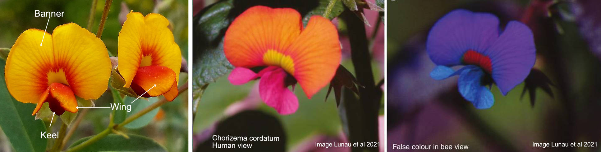
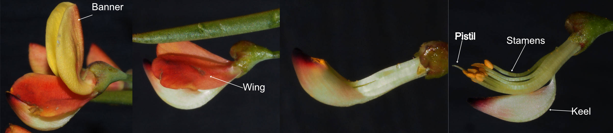
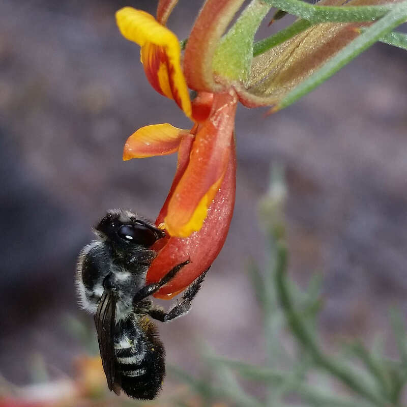
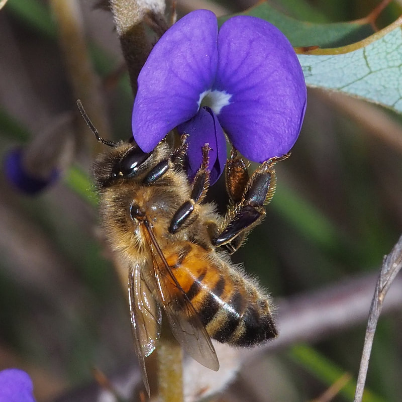
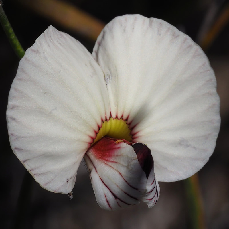
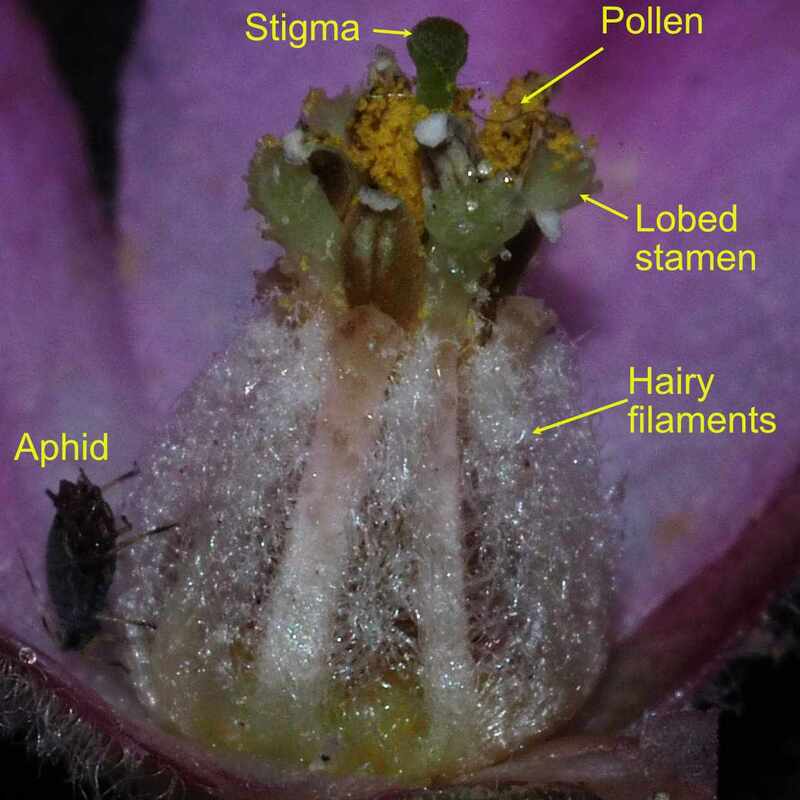
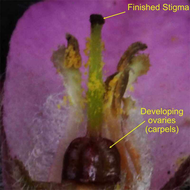
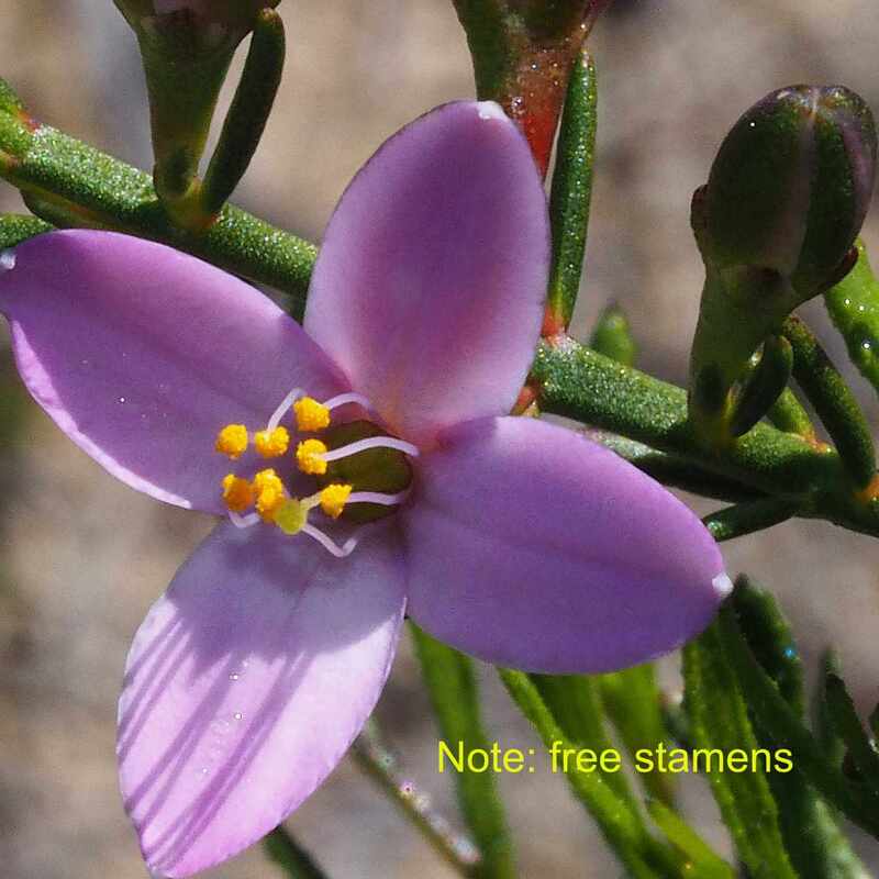
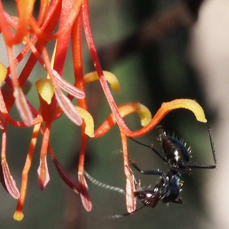
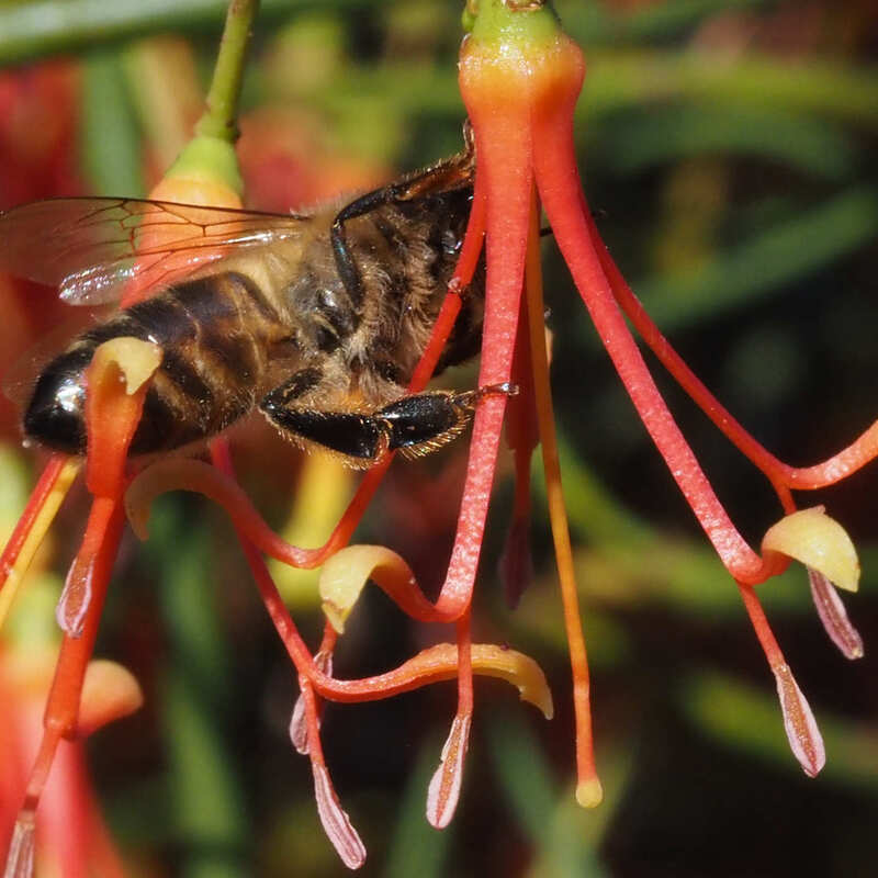
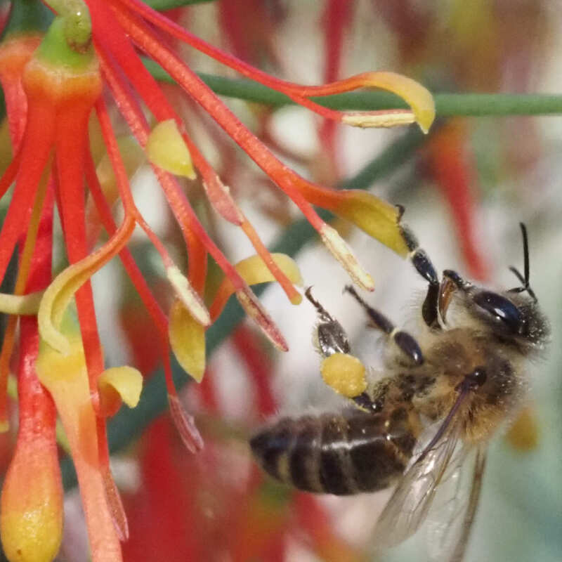
4 Many native plant species have plant shapes, which have evolved to direct native pollinators to land on them in ways that pollinate them. Native pea plants are examples. Honeybees often bypass plant stamens and pistils to steal nectar and pollen
1. The communal hive enables them to maintain large numbers of foraging adults in all seasons.
2. They are efficient and aggressive colonisers.
2. Adults can be active at lower temperatures than native bees, which are most active in the middle of the day (after honeybees have been there).
3 The honeybee 'waggle dance' communication system enables them direct large numbers to scattered flowering plants.
4 Many native plant species have plant shapes, which have evolved to direct native pollinators to land on them in ways that pollinate them. Native pea plants are examples. Honeybees often bypass plant stamens and pistils to steal nectar and pollen
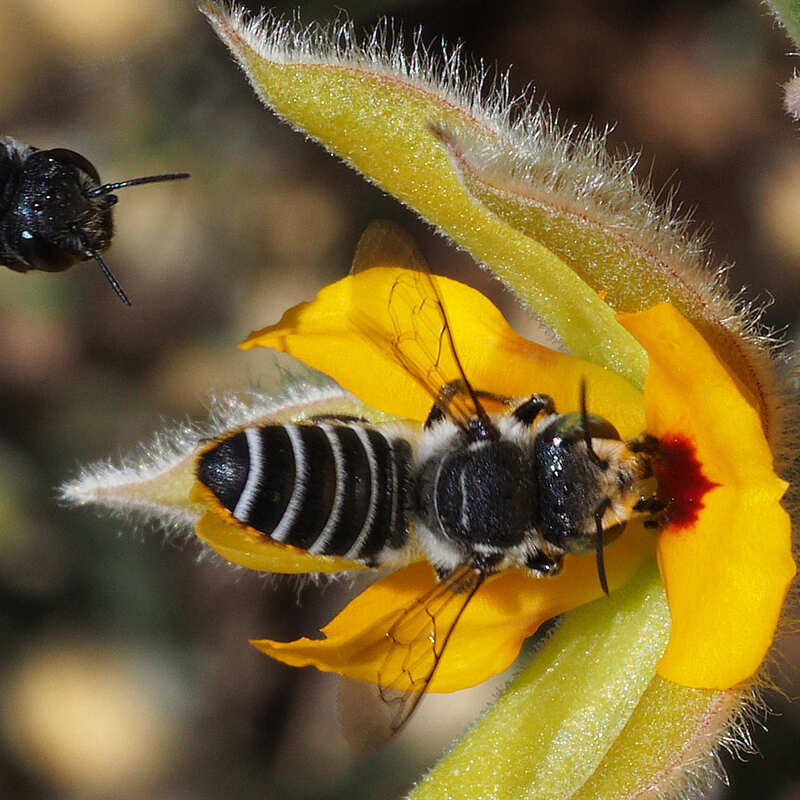
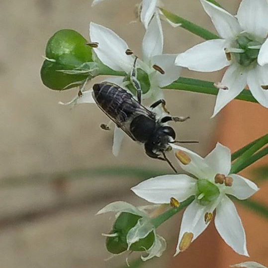
 Lasioglossum bee harvest pollen with tummy hairs | 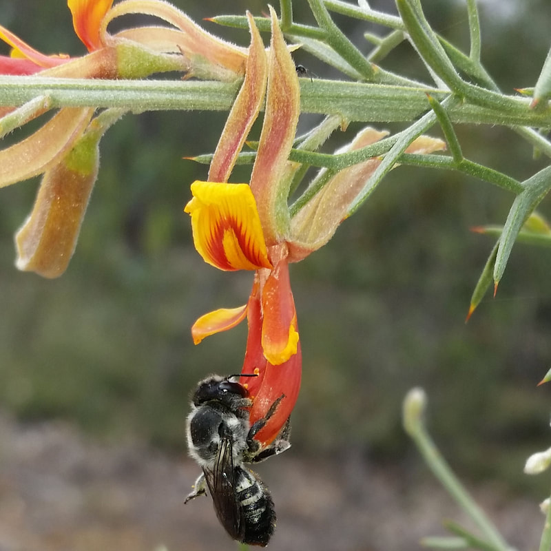 Correct way to land on a pea flower | 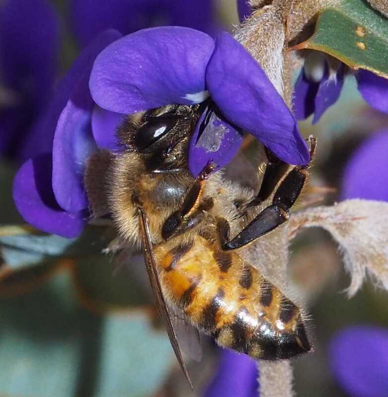 Honeybee bypasses stamens and pistil to steal nectar. |
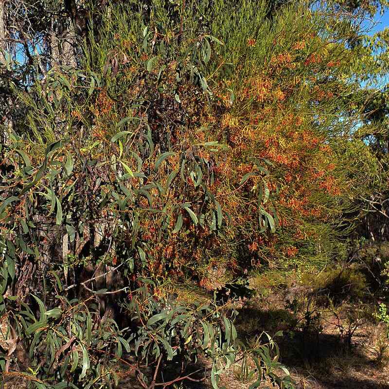
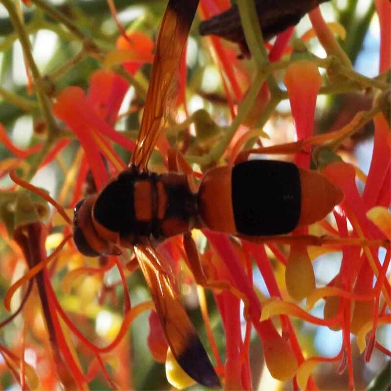
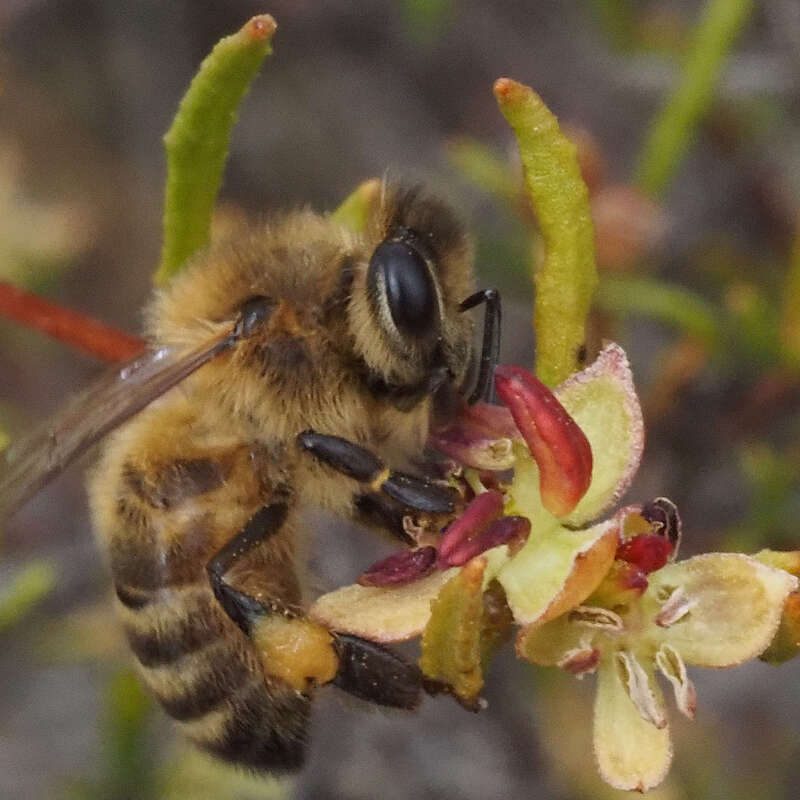 Honeybee eating male hopbush pollen directly from the anthers.
 Plants such as Hibbertias lack nectar and rely on generalist native bees to pollinate them using 'buzz pollination'.
Honeybees can't do this, but can potentially affect pollination by outcompeting these native bees. I have also seen honeybees harvesting pollen from male sheoak and hop bush plants, which use wind pollination.
Honeybees can't do this, but can potentially affect pollination by outcompeting these native bees. I have also seen honeybees harvesting pollen from male sheoak and hop bush plants, which use wind pollination.
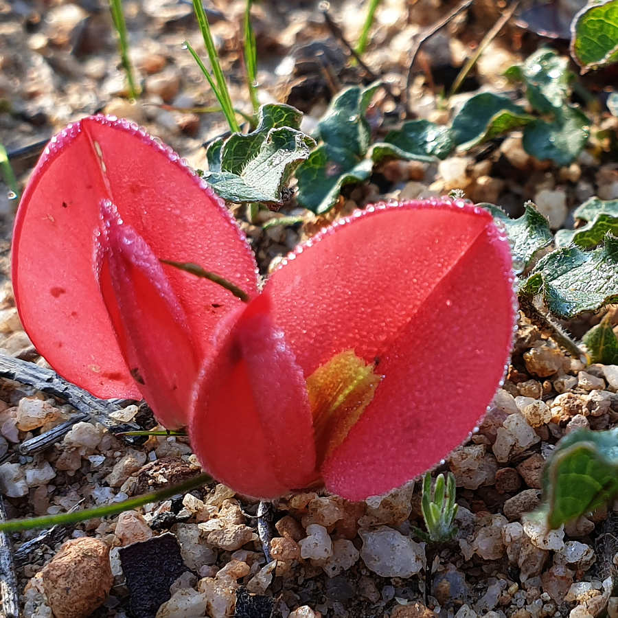
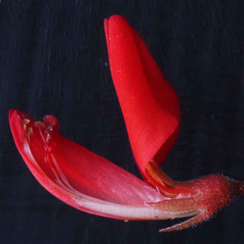
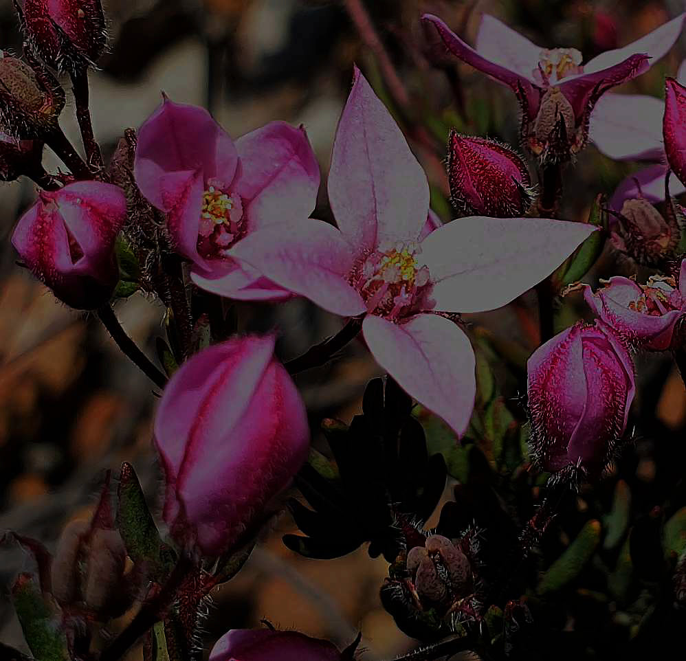
In May, I came across flowering Daviesia plants, which are important for native bees as there are relatively few species flowering at this time. The flowers were covered in honeybees. Looking closely I was alarmed to see that the bees were concentrating on unopened flowers, which they effectively destroyed for other pollinators. This is shown in the following video.