Greetings fellow Foxies,
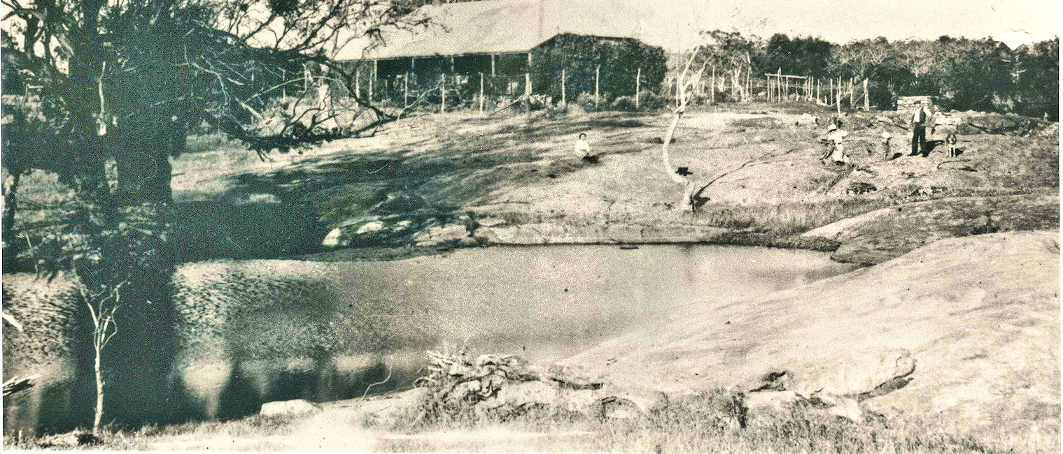
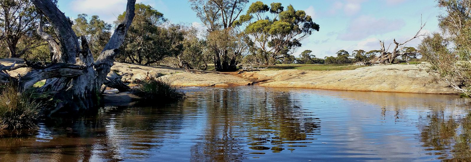
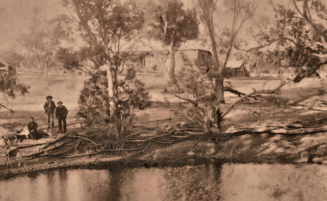
Last August I was lucky enough to visit this remarkable place between Narrogin and Williams after heavy rain. This was a vital all-weather crossing over the Williams River on private land that provided access from the Williams area settlement.
Picture the district in the early 19th century when the major settlements were at Albany and Perth with the latter struggling to survive. The discovery of good grazing land in the Avon Valley led to a profitable wool industry, but native pastures were soon grazed out. Shepherds with small mobs of sheep, sandalwood cutters, and kangaroo shooters ventured into the bush, often ahead of the explorers. This was tough country with a variable climate and travellers moved along valleys in search of reliable water and good grazing country (York gum/Jam loams), and avoiding poison pea plants that would kill livestock. Settlers could apply for a 60 acre freehold block (usually near water) and a 500 acre grazing lease.
Their progress was greatly increased by Noongars who led them to the best water, sandalwood and grazing areas (perhaps they thought that Europeans were spirits of their departed ancestors). A sad legacy of this generosity was a progressive loss of their water supplies and grazing land, and mass deaths from exotic diseases.
By 1855 Williams was a settlement on the convict-built Perth/Albany road with another townsite a few kilometres to the east called Crossman that had soldiers’ barracks and an Anglican church.
A few miles upstream, Rocky Crossing provided all weather access north- east to Moorumbine, and to the east via Gnarogin pool. (Narrogin and Cuballing towns were yet to be surveyed).
The map in Google photos of land holdings in 1894 shows how early travellers moved and settled along river valleys from one water source (blue square) to another. The blue dotted line is my guestimate of the 1855 tracks from Rocky Crossing.
The crossing itself is a geological oddity consisting of a granite outcrop in the river that has split horizontally below the surface to form an underground cavern through which river water passes leaving intact granite above as a crossing for people, animals and horse drawn vehicles.
The cavern becomes smaller at the outlet, causing columns of pressurised water to well up in the (Kunderning) pool.
I revisited the site recently and even climbed in the tunnel to check its size, hoping that a snake wouldn’t grab me in my effort to report to my readers. I survived.
The cavern becomes smaller at the outlet, causing columns of pressurised water to well up in the (Kunderning) pool.
I revisited the site recently and even climbed in the tunnel to check its size, hoping that a snake wouldn’t grab me in my effort to report to my readers. I survived.
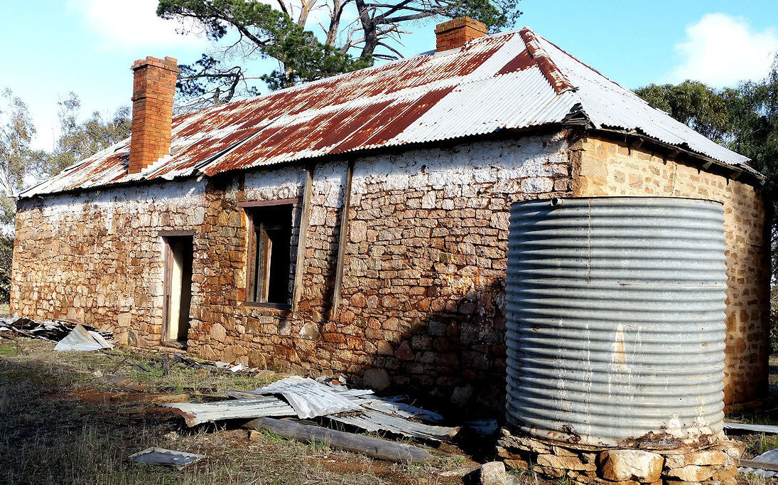
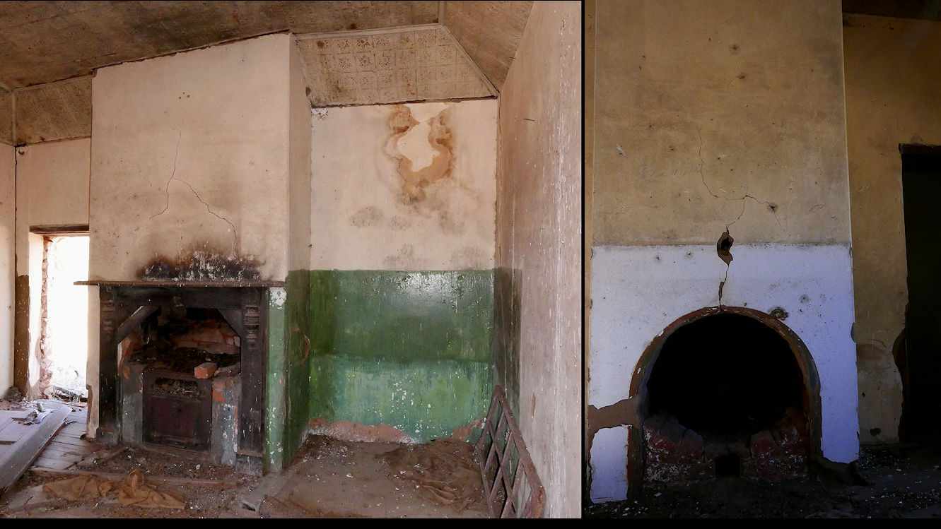
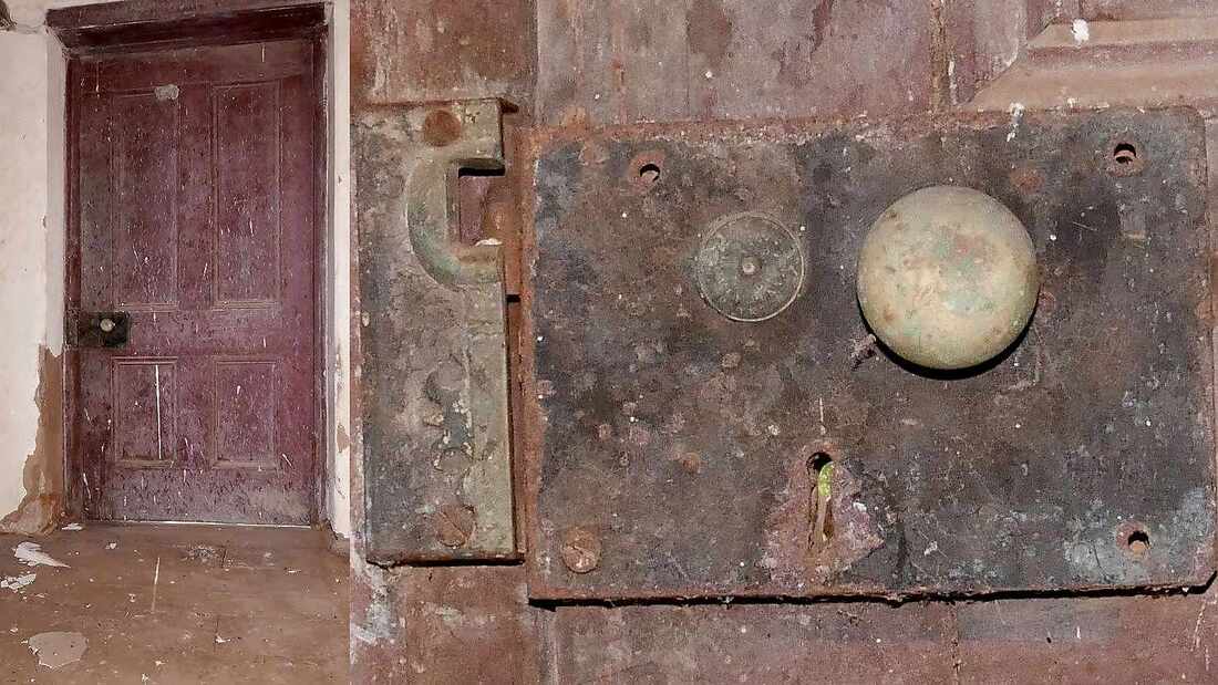
The original shack of the first owner Jack Dyson is long gone, but the remains of a very sturdy replacement (early 1900s?) stand proud. Houses really were well built in those days, with pressed tin ceilings local rock walls and lovely American redwood doors and surrounds. Great pity that it is slowly deteriorating. At some time the house was used as a grain storage shed and a tally of barley bags sown for transport is in a doorway.
This is a link to a Relevant Google Photos album https://photos.app.goo.gl/VeFq2HW5uxQ39eqb2
This is a link to a Relevant Google Photos album https://photos.app.goo.gl/VeFq2HW5uxQ39eqb2
