At a Glance:
- Aldinga was one of the first farms developed in this area.
- Lovely old house and sheds. Note private property.
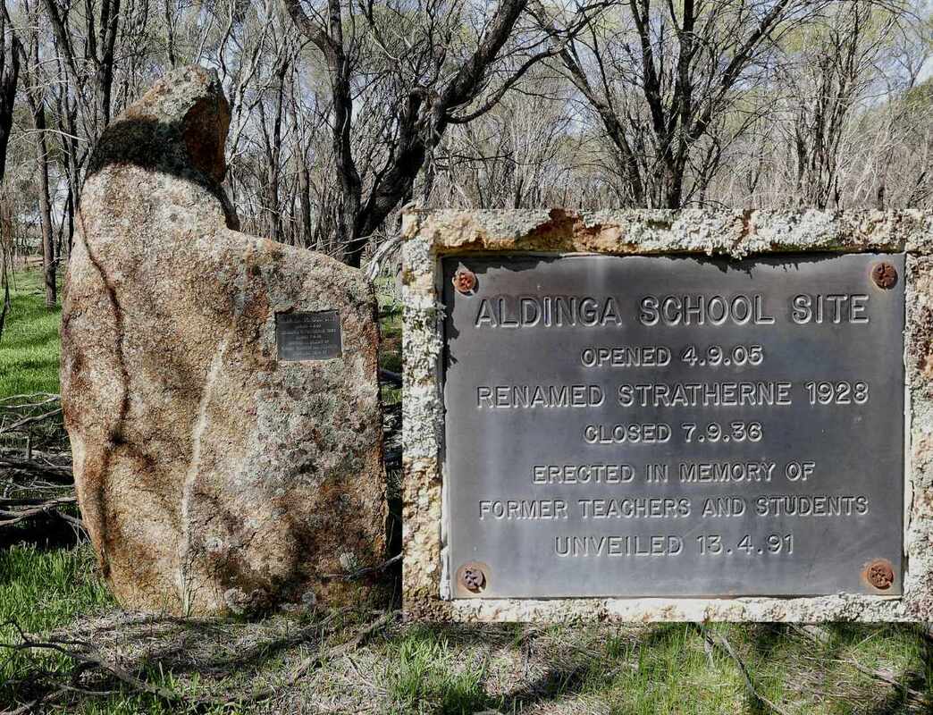
- The Aldinga/Stratherne school was situated in the reserve on the opposite side of the road. It took four attempts to get approval for the school.
Aldinga is a historic farm that is located in the intersection of the Cuballing, Pingelly, and Wickepin shires.
The property was named by John and Margaret McBurney who travelled across from Aldinga South Australia in 1902. They initially leased land from a Mr (John?) Snow, which may have been Aldinga. They established a house and for a while, a little retail store on the farm that supplied canned food, tobacco and tools of trade to sandalwood cutters, teamsters, kangaroo hunters, surveying teams and Noongars. This closed later as roads became available to the various centres.
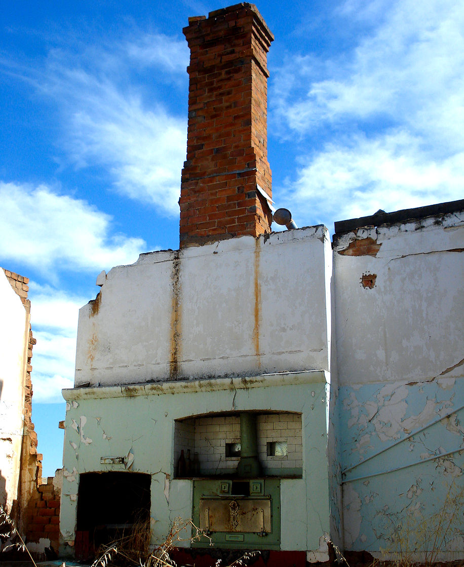
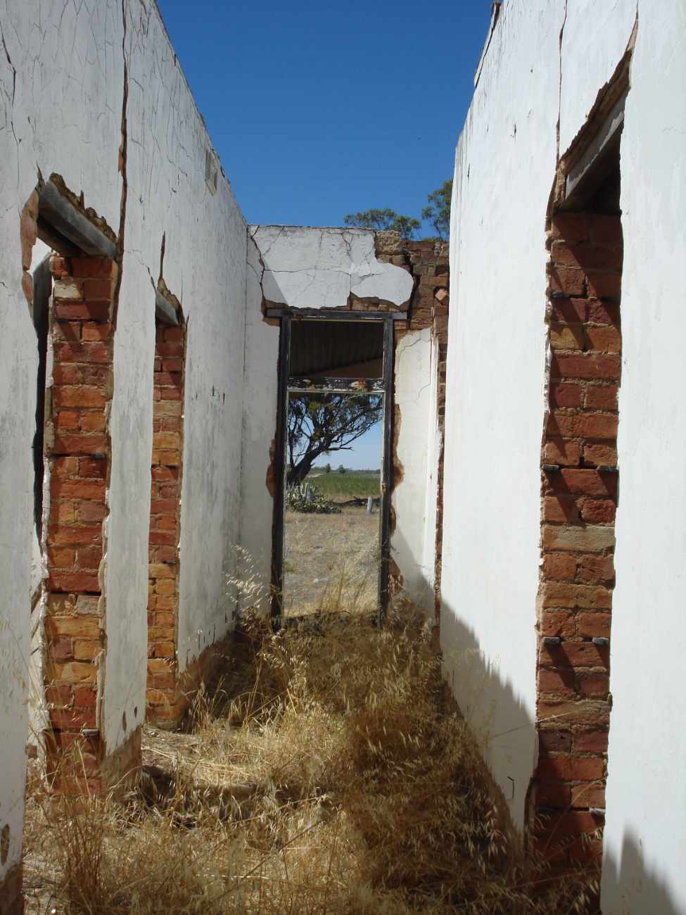
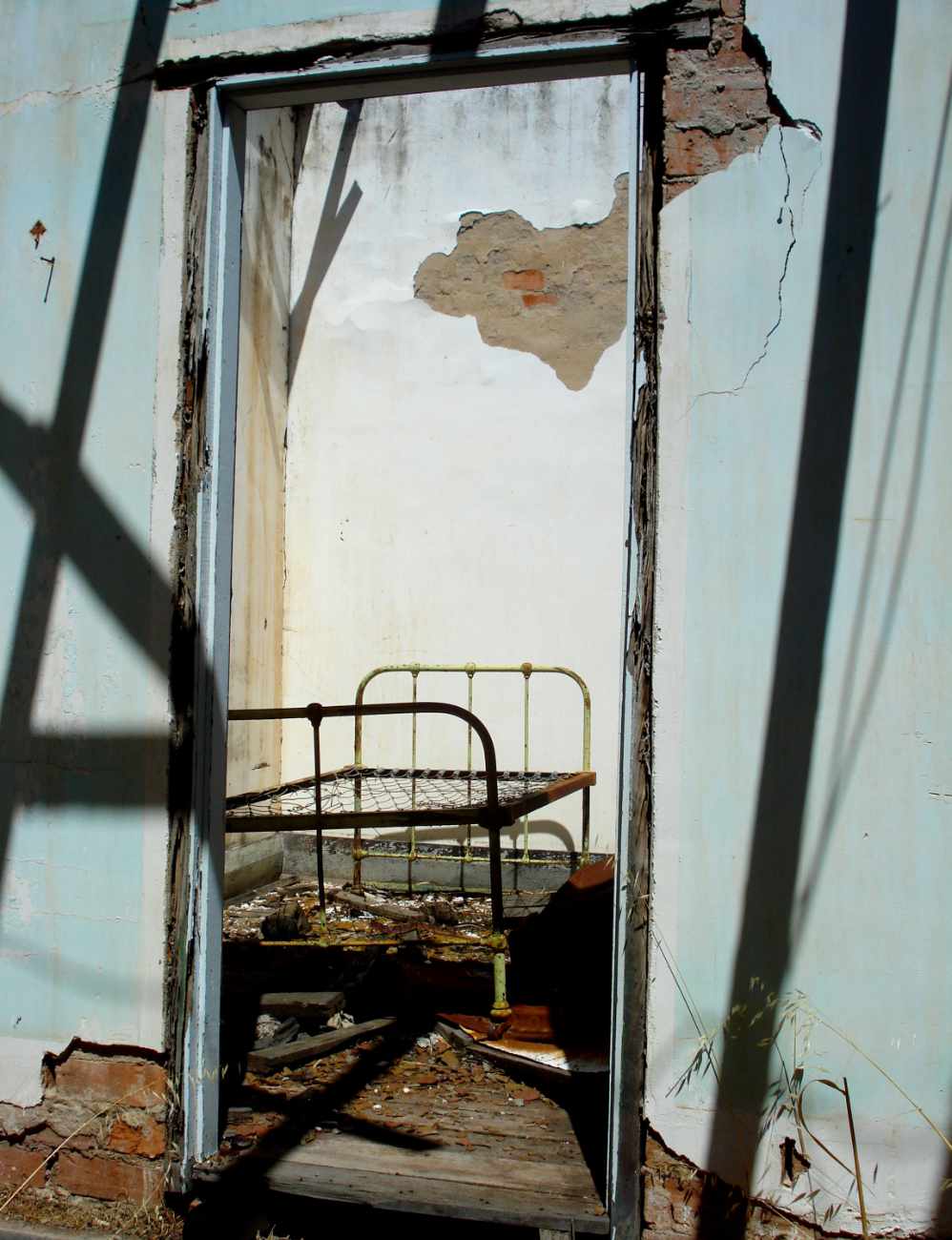
The original Aldinga house has been flattened and a fine new one built that is now also empty. Keith McBurney told me that the present car port covers the old Stratherne telephone exchange, which even had a cellar.
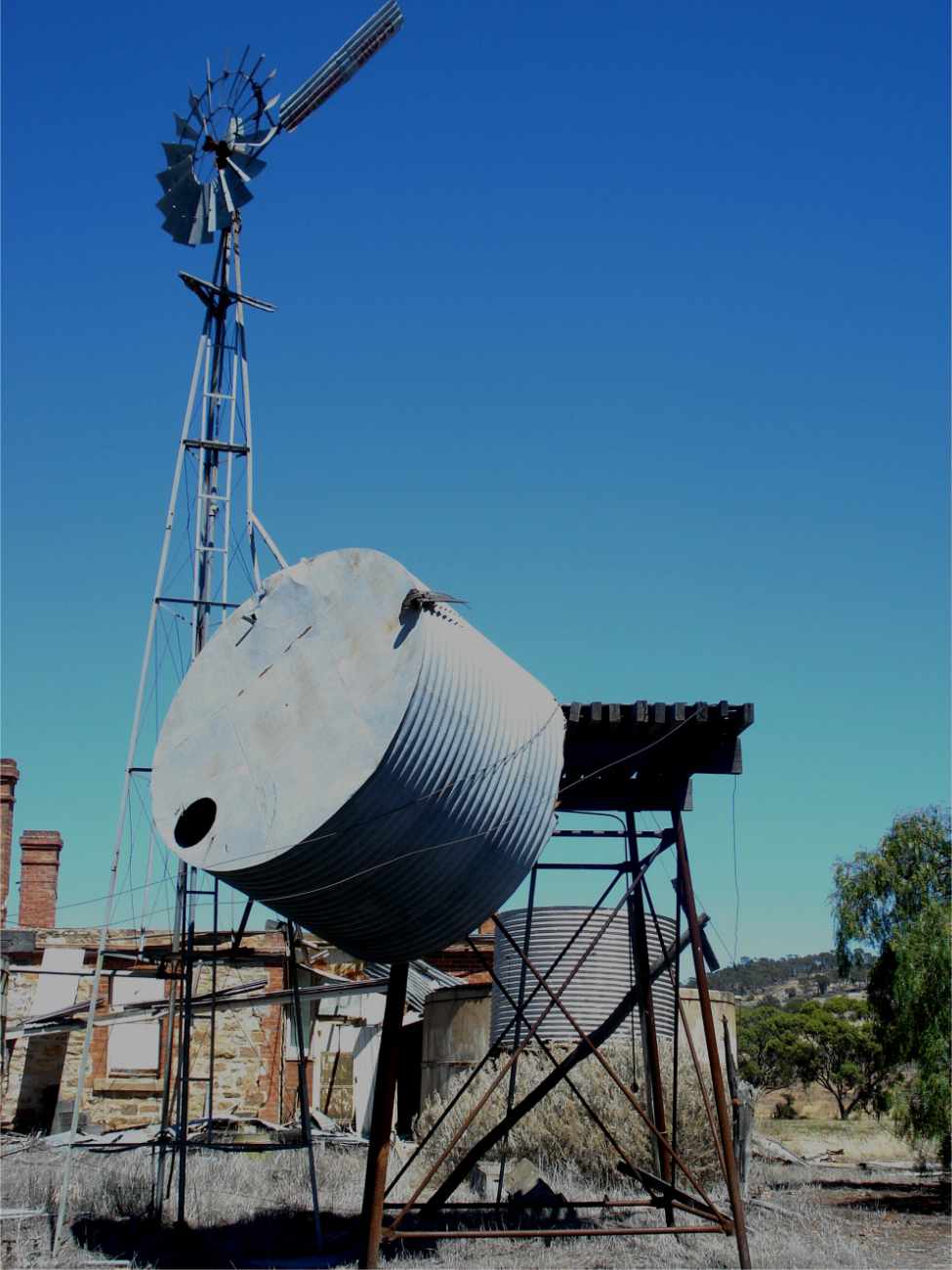
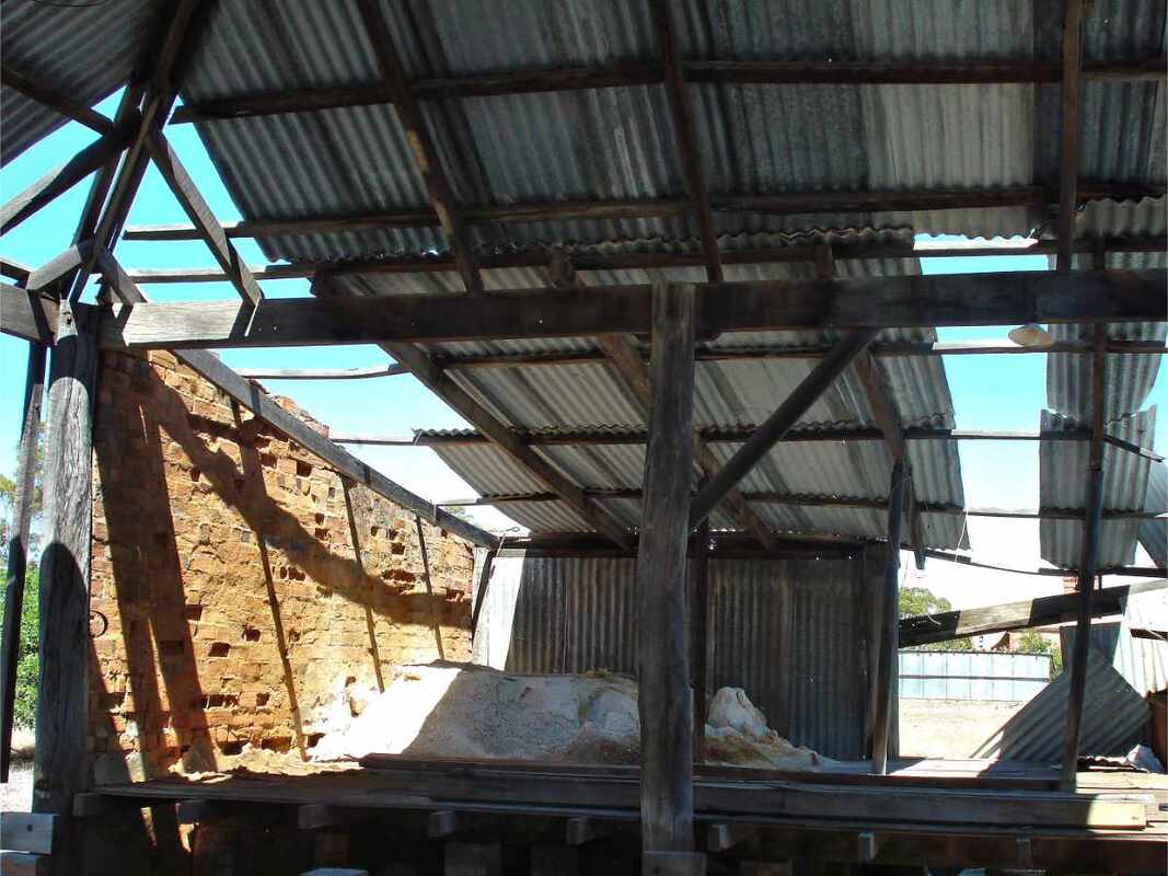
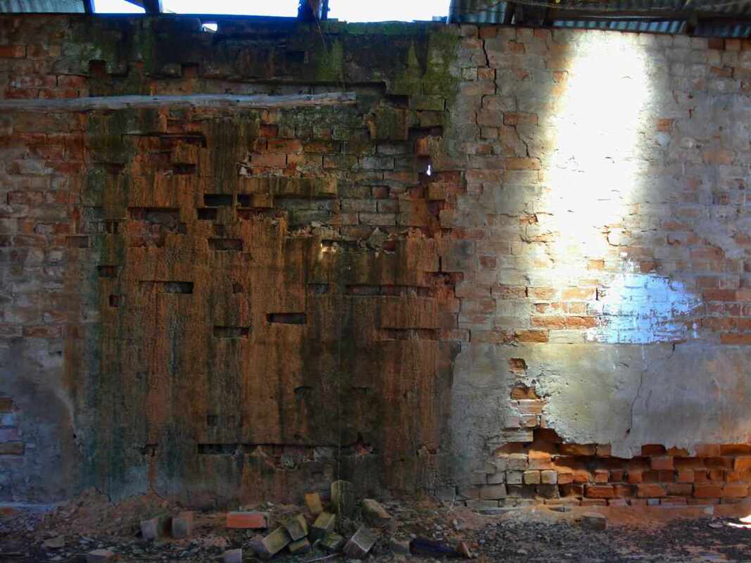
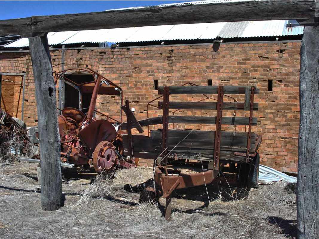
The house and shed area has a crumbling splendour with a particularly fine granite stone shed. A well in the creek by the house would have been the reason a house was built here.
For a photo tour of this site see Google Photo images on https://photos.app.goo.gl/qev2q4RMKLiBRgbP6
The property was named by John and Margaret McBurney who travelled across from Aldinga South Australia in 1902. They initially leased land from a Mr (John?) Snow, which may have been Aldinga. They established a house and for a while, a little retail store on the farm that supplied canned food, tobacco and tools of trade to sandalwood cutters, teamsters, kangaroo hunters, surveying teams and Noongars. This closed later as roads became available to the various centres.
The original Aldinga house has been flattened and a fine new one built that is now also empty. Keith McBurney told me that the present car port covers the old Stratherne telephone exchange, which even had a cellar.
The house and shed area has a crumbling splendour with a particularly fine granite stone shed. A well in the creek by the house would have been the reason a house was built here.
For a photo tour of this site see Google Photo images on https://photos.app.goo.gl/qev2q4RMKLiBRgbP6
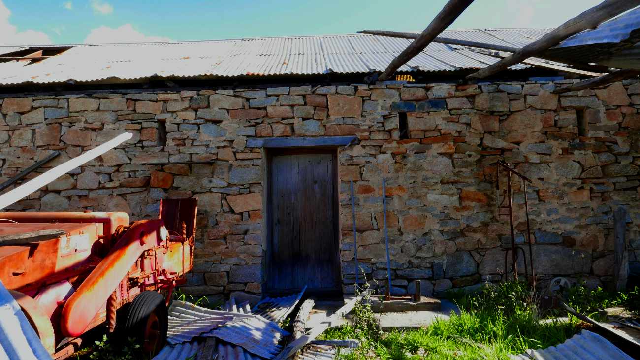 Granite block shed | 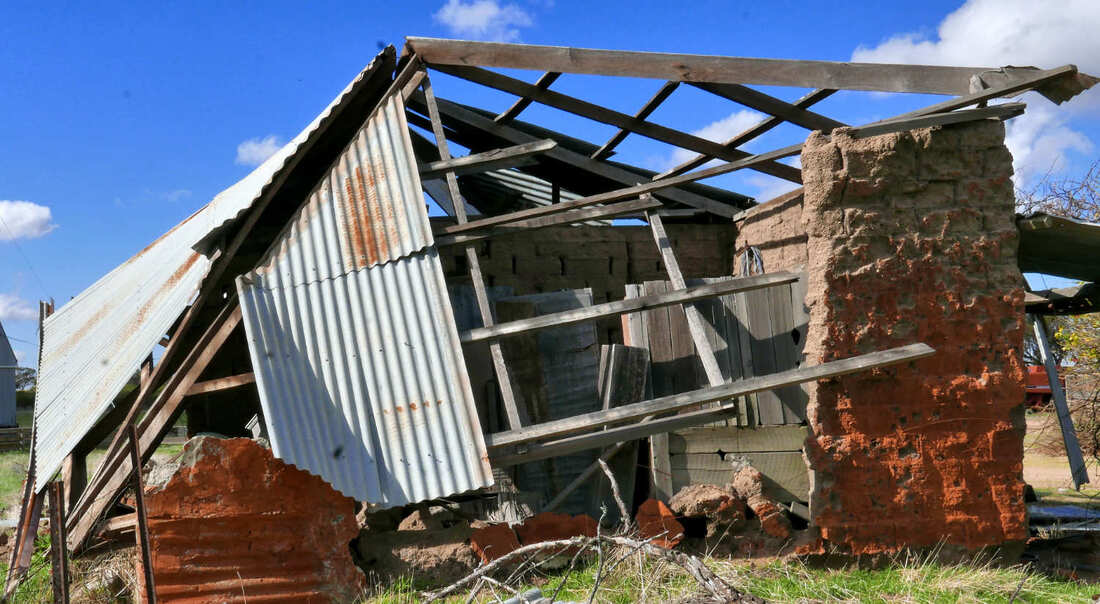 Collapsed mud brick shed |
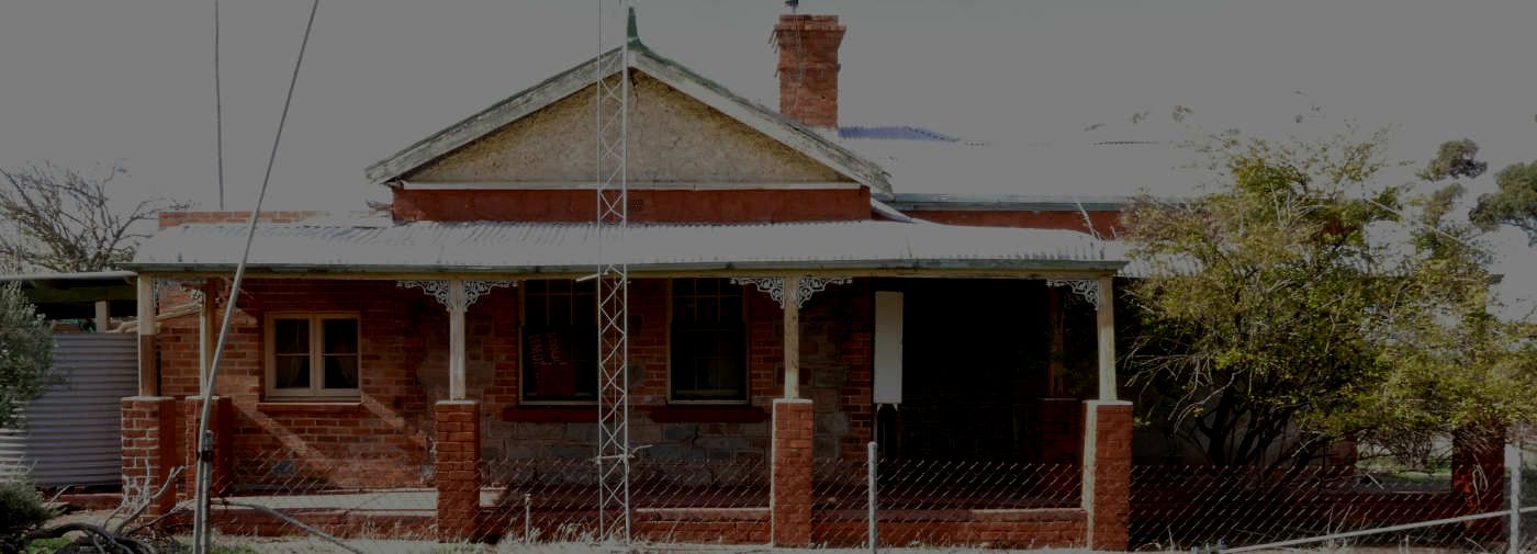
Unoccupied second house, which was built over the original
|
In 1905 the Aldinga school was established on a reserve over the road.
It took four attempts to make a successful application to the government. ('Numbat Country: The Story of the History of Cuballing from Early Times to 1997' page128)
|
|
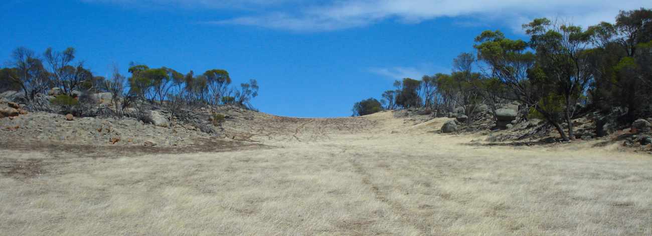
Red loam 'long padddock' over weathered dolerite dyke through a granite ridge
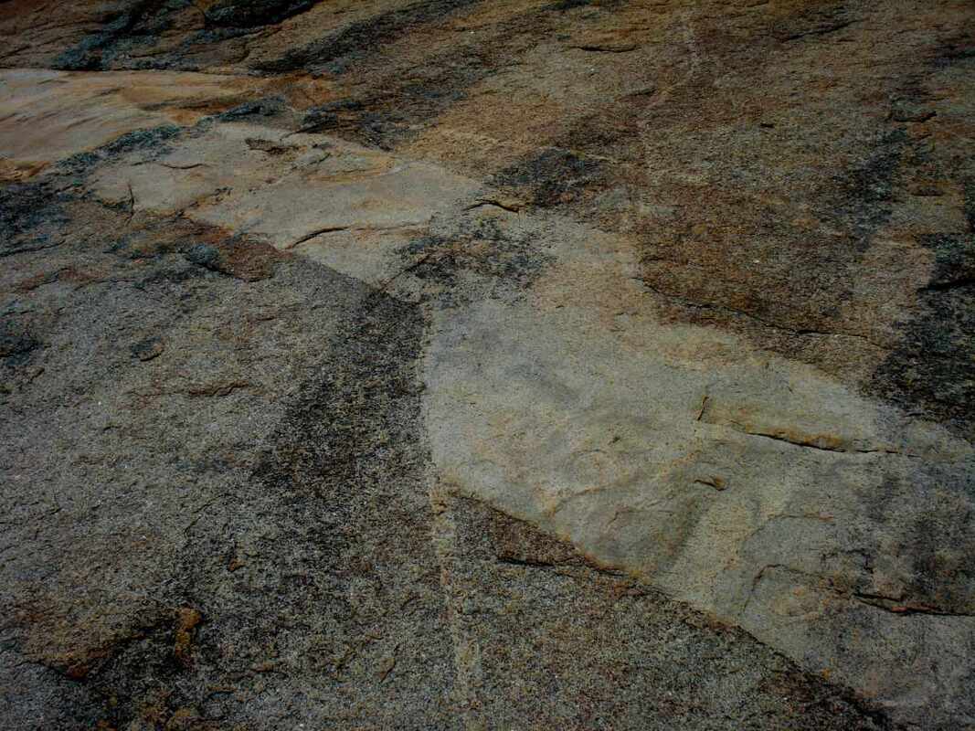 Rock vein in granite | John’s son Amos built a separate fine house further east at the base of Woodebulling Hill. An exceptionally good spring in the hill provided an abundant water supply that is evident by the numerous water tanks around the house. The hill is impressive with interesting geology. Granite is fractured and intruded by veins and a huge east-west dolerite dyke, which has weathered to a line of fertile red brown loam soil that has been cleared to make a “long paddock". Elsewhere springs and salt patches frequently occur from water flowing through fractured granite being brought to the surface by impervious dolerite. |
 Amos McBurney's house
 The house was relatively intact until relatively recently, but termites and the wind have reduced it to a shell. Nearby is another picturesque ruin of a shed complex, which indicates that this is was once the site of an earlier farm.
John Forest walked through this area. The survey team would place a survey peg at the camp site at the end of each day. Amos found one, which was held by Bill Butler before he died.
For a photo tour of this site see Google Photo images on https://photos.app.goo.gl/kupPuzDZvEWBGVLN6
 |  |  |
 |  |  |