Wickepin is located 210 km south east of Perth via Brookton and Pingelly, and 38km east of Narrogin.
This blog is a guide to historic attractions in the town and signposted parts of the adjoining Facey Drive Trail.
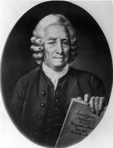
Wickepin has become famous for its association with Albert Facey, the author of the best selling book "A Fortunate Life".
Other remarkable former residents were poet, author, and playwright Dorothy Hewett, and the Church of the First Born sect who established the New Jerusalem settlement east of Wickepin.
The success of Facey’s autobiography A Fortunate Life is one of the remarkable events of Australian publishing. Originally published by the Western Australian-based Fremantle Arts Press in 1981, the book was subsequently published by Penguin and is regularly voted into the top 10 of the most popular Australian books. It was subsequently made into both a play and a successful TV mini-series."
This blog is a guide to historic attractions in the town and signposted parts of the adjoining Facey Drive Trail.
Wickepin has become famous for its association with Albert Facey, the author of the best selling book "A Fortunate Life".
Other remarkable former residents were poet, author, and playwright Dorothy Hewett, and the Church of the First Born sect who established the New Jerusalem settlement east of Wickepin.
The success of Facey’s autobiography A Fortunate Life is one of the remarkable events of Australian publishing. Originally published by the Western Australian-based Fremantle Arts Press in 1981, the book was subsequently published by Penguin and is regularly voted into the top 10 of the most popular Australian books. It was subsequently made into both a play and a successful TV mini-series."
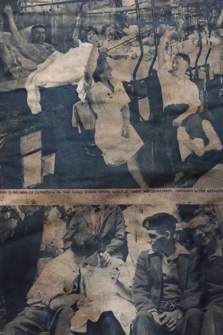
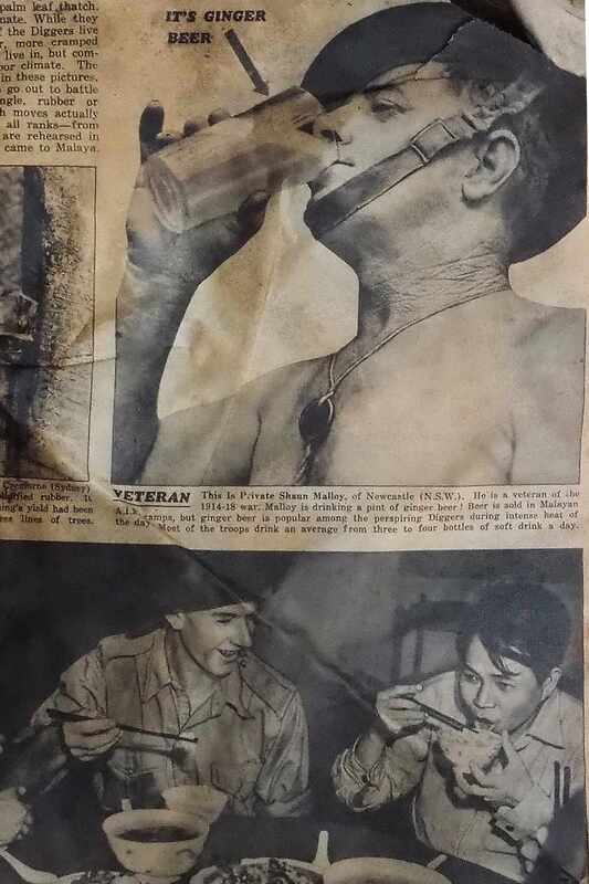
If you did not live in Australia through the 1980s you cannot understand just how important A.B. Facey's A Fortunate Life was. It became one of the defining Australian books because, in its title, is pure Aussie optimism and in its pages is the story of a person who was savagely mistreated firstly by the harsh reality of growing up poor and working for a vicious boss, then by the ugliness of World War I and finally by the Great Depression which in 1934 forced Facey, a returned soldier who was provided with land under the Soldier Settlement Scheme, off the land. (1)
| spend_a_day_in_historic_wickepin_a3march_2024.pdf |
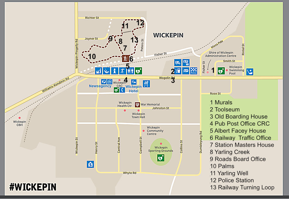
Wickepin Town Attractions
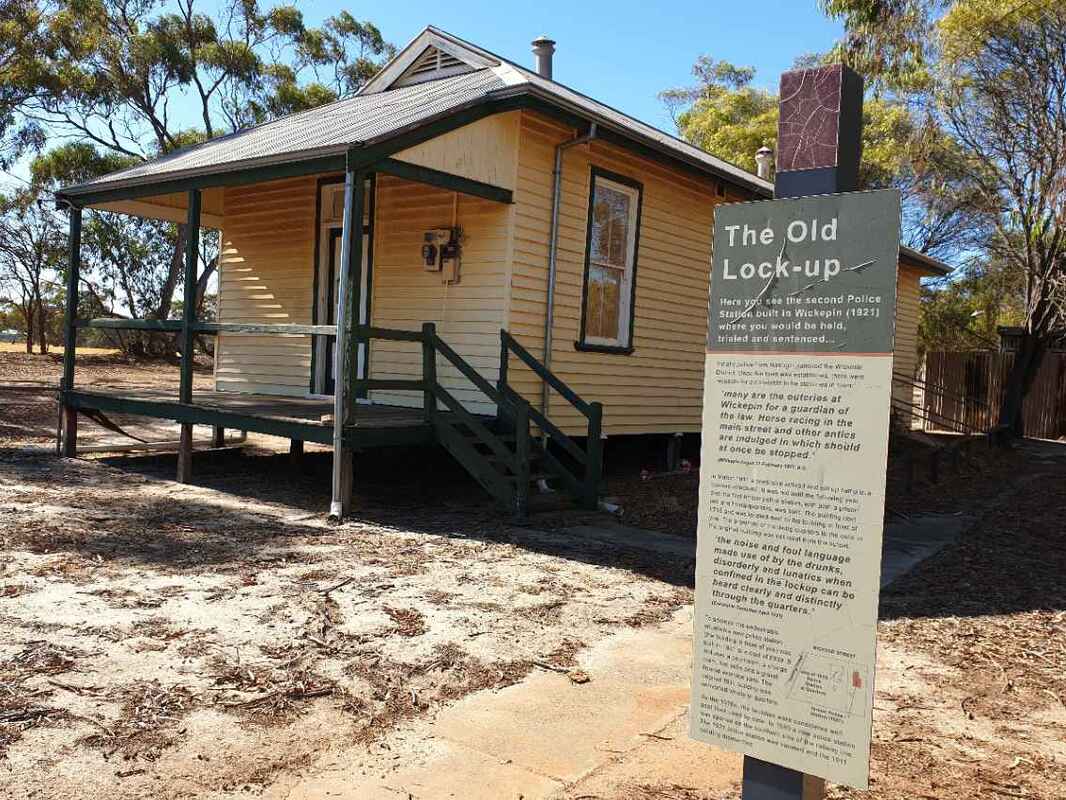
1. Murals can be seen all over town including the Police Station, Wickepin Swimming pool, Wickepin Primary School, Wickepin Newsagency and the Wickepin CRC.
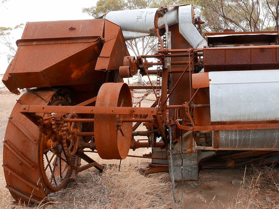
2. Toolseum. Explore this intriguing collection of agricultural tools and photos of a bygone era. Open for viewing by appointment only. Bookings can be made 1 week in advance by contacting the CRC or email
[email protected].
3. Boarding House 52 Wogolin Road opposite the Toolseum. Private residence. Built around 1910, this was originally Wickepin's community hall. Albert stayed here between 1912-13 while working for the Railways and the Water Supply.
4. Community Resource Centre .Visit the Centre for brochures and information on local attractions and facilities.
Contact. 0898881500 or email [email protected].
1. Murals can be seen all over town including the Police Station, Wickepin Swimming pool, Wickepin Primary School, Wickepin Newsagency and the Wickepin CRC.
2. Toolseum. Explore this intriguing collection of agricultural tools and photos of a bygone era. Open for viewing by appointment only. Bookings can be made 1 week in advance by contacting the CRC or email
[email protected].
3. Boarding House 52 Wogolin Road opposite the Toolseum. Private residence. Built around 1910, this was originally Wickepin's community hall. Albert stayed here between 1912-13 while working for the Railways and the Water Supply.
4. Community Resource Centre .Visit the Centre for brochures and information on local attractions and facilities.
Contact. 0898881500 or email [email protected].
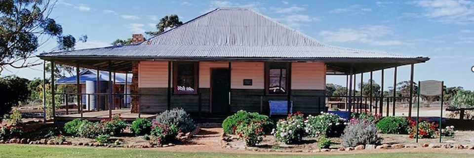
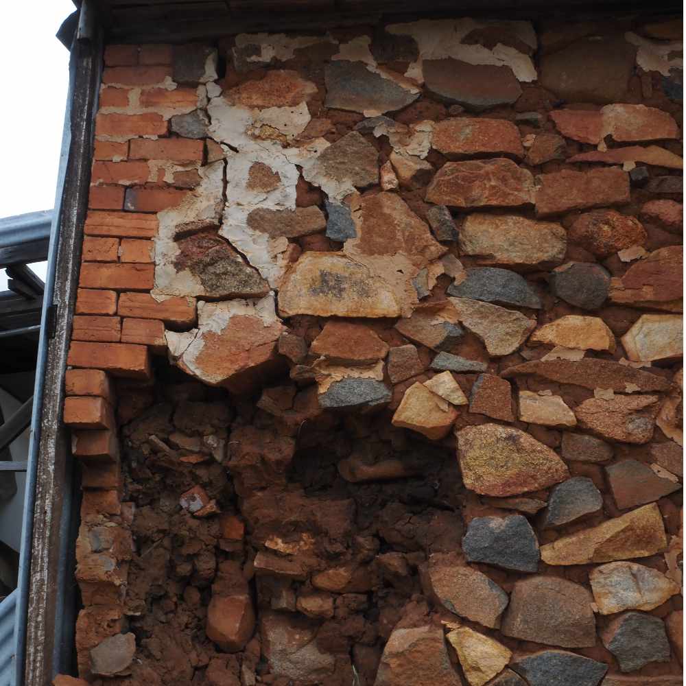
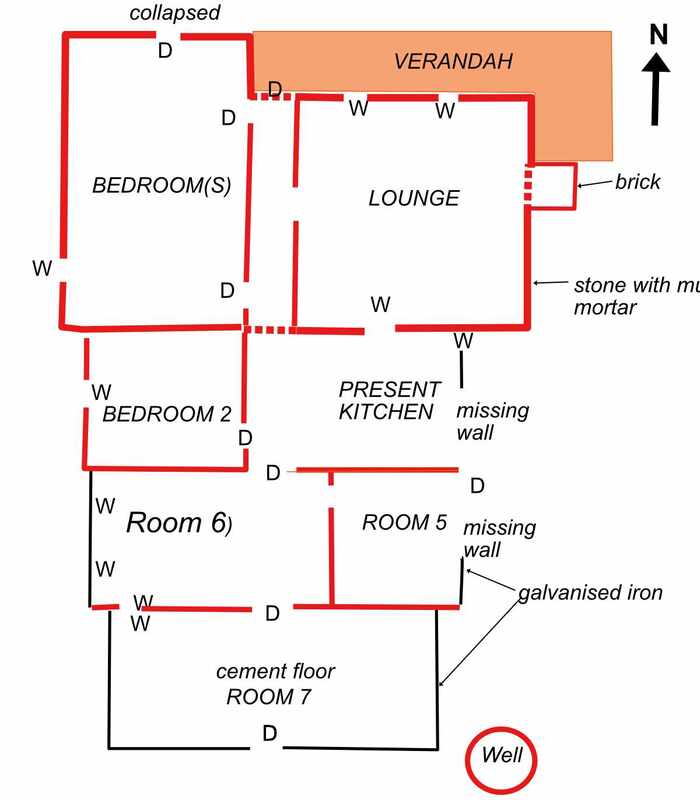
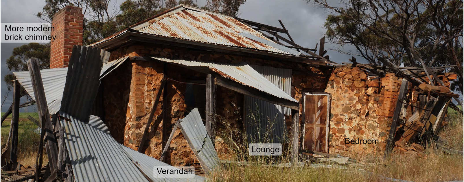
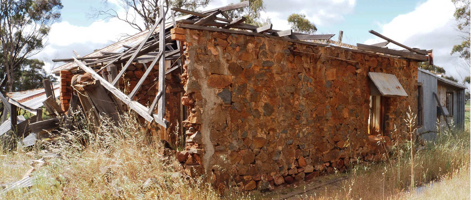
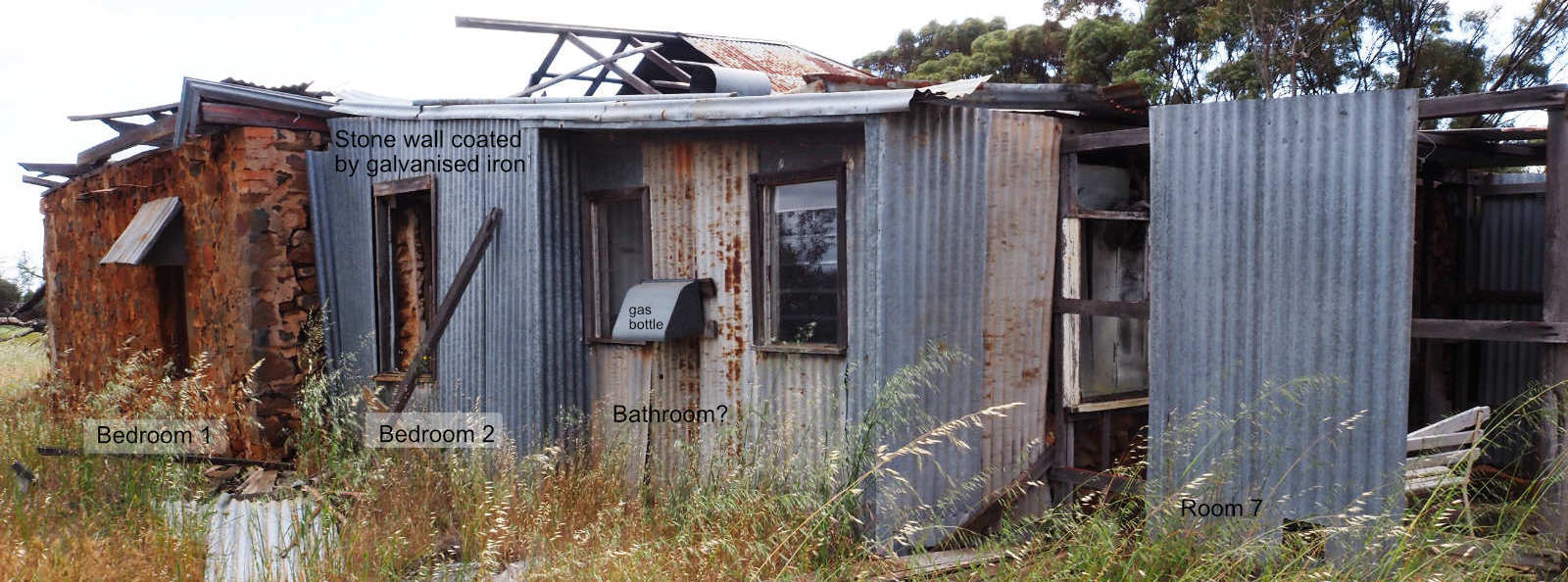
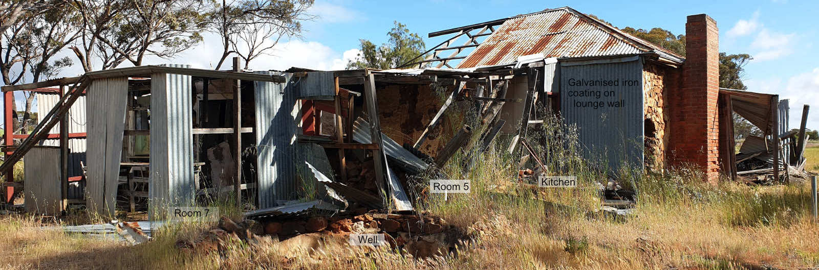
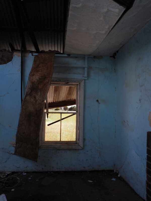
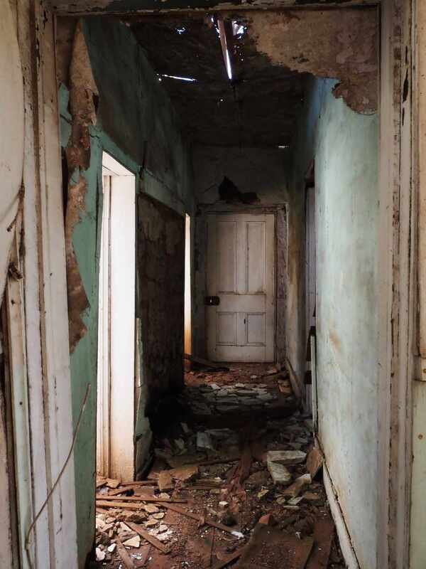
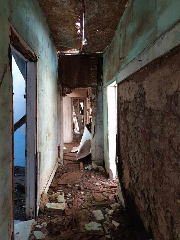
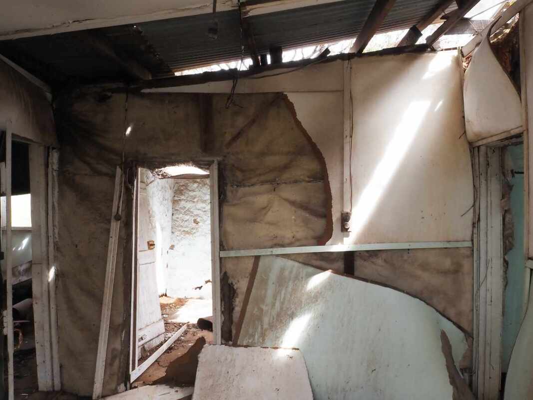
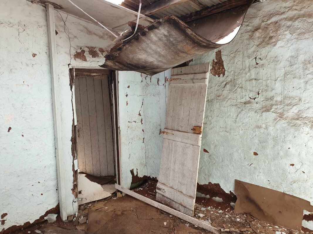
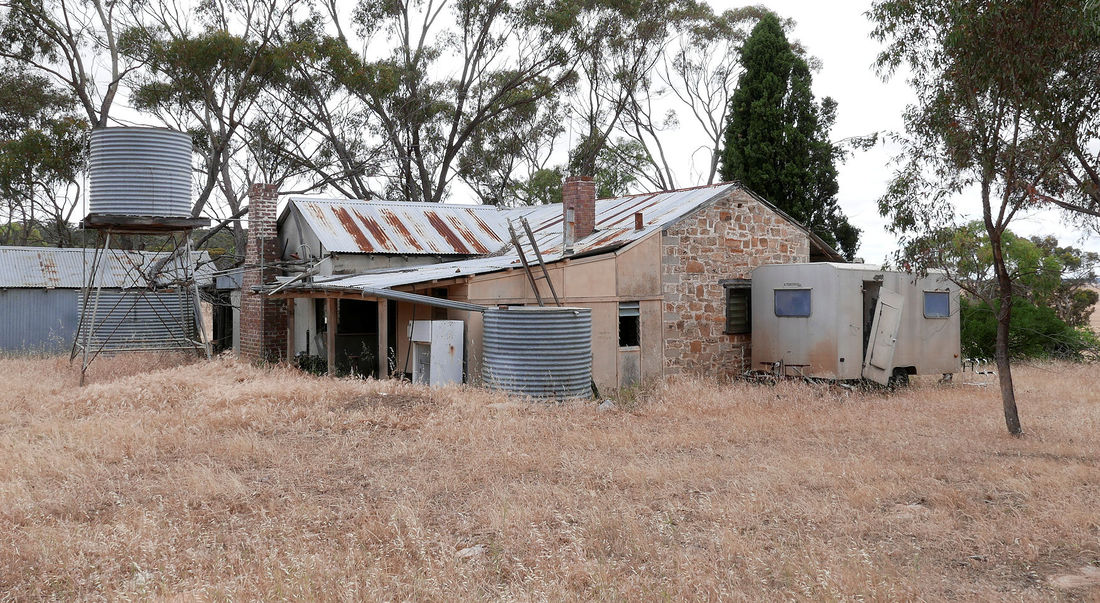
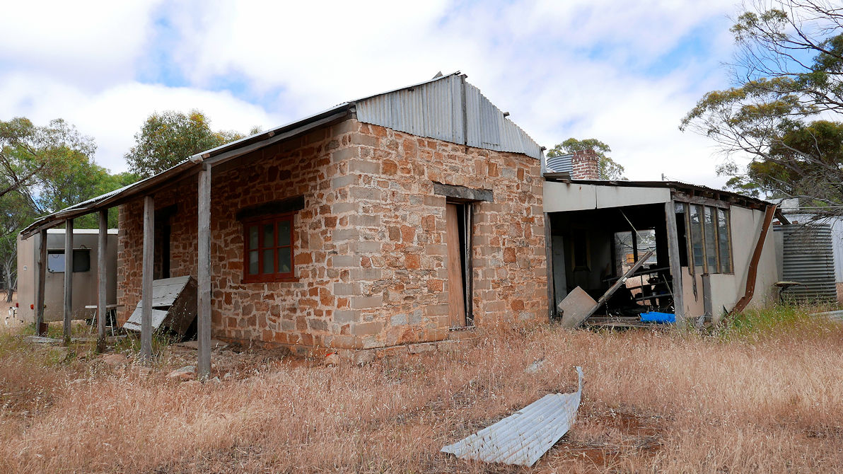
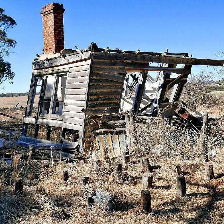
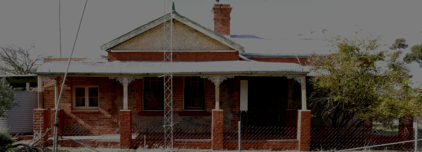
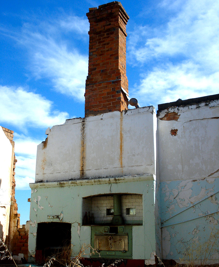
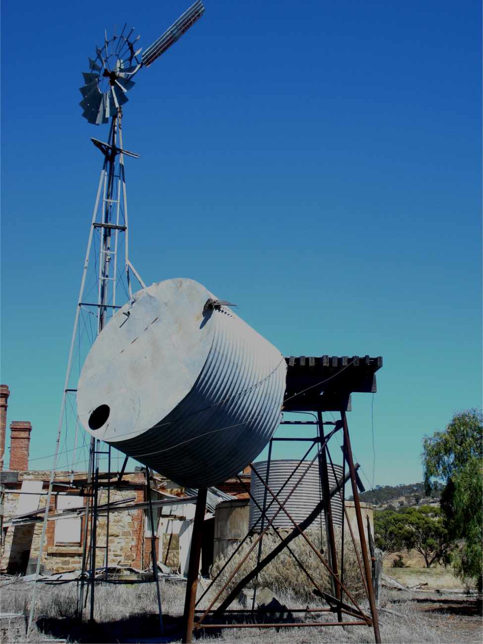
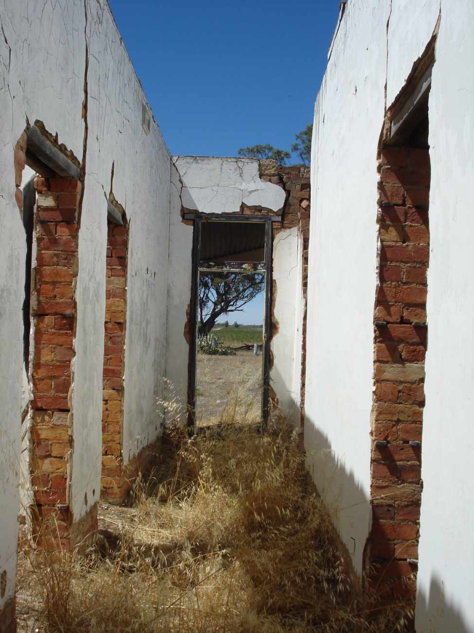
5a A.B Facey Homestead is situated in the main street and is the home that Facey and his family walked out of in 1934 during the Great Depression. The house is much more than just another wheatbelt dwelling. It is a unique opportunity to view the harsh and simple lifestyle of the small wheatbelt farmer in the early 1930s.
|
Open times
10am-4pm Monday- Friday (March-November) 10am-4pm Friday, (December – February) 9am-2pm Saturday & Sunday all year round. Closed Christmas & Boxing Days, New Year’s Day and Good Friday |
Tour bookings can be made 1 week in advance by contacting the Shire or CRC. |
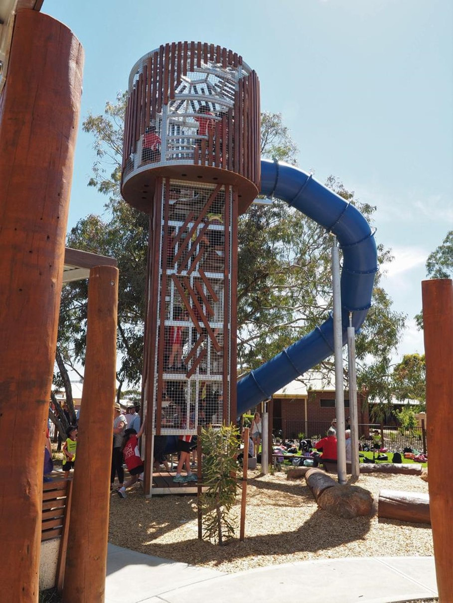 | 5b The Wogolin Recreation Park situated near the Homestead is an intergeneration play space. Take on the challenge of the thrilling slide, fly high on the spider swing and flying fox and enjoy the water play area particularly in summer. For those with even more energy the skate park and half basketball court will add to the fun. |
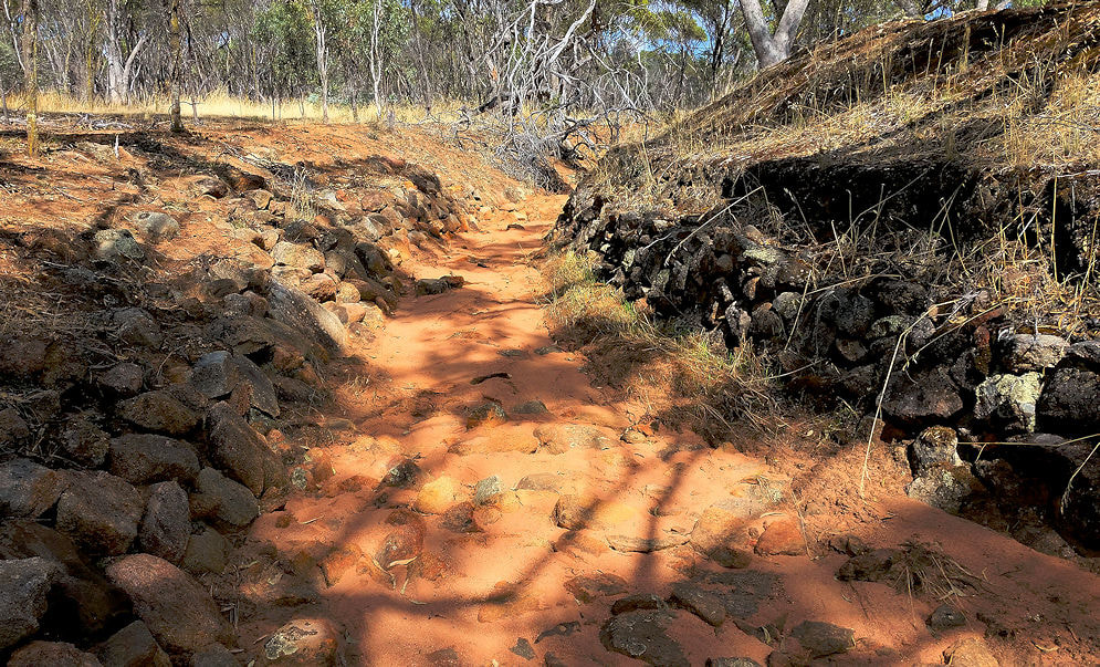
6. Heritage Walk Trail. This is an attractive and easy 1.8km trail featuring numbered historical attractions and quirky artwork. Follow the map as some sections of the trail are not clearly marked.
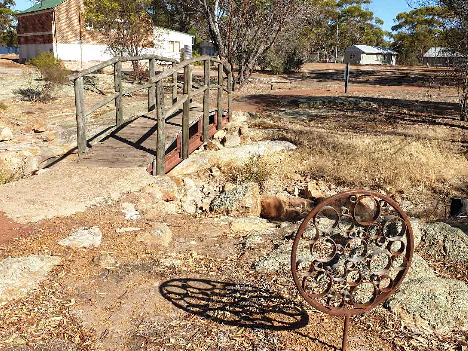 |  |
Two Gnome Villages are in the townsite and they are happy to receive visitors. The creator started her gnome family 25 years ago and has accumulated 1700 Gnomes that are all numbered and recorded. Worth a visit for a giggle.
Albert Facey Drive Trail
|
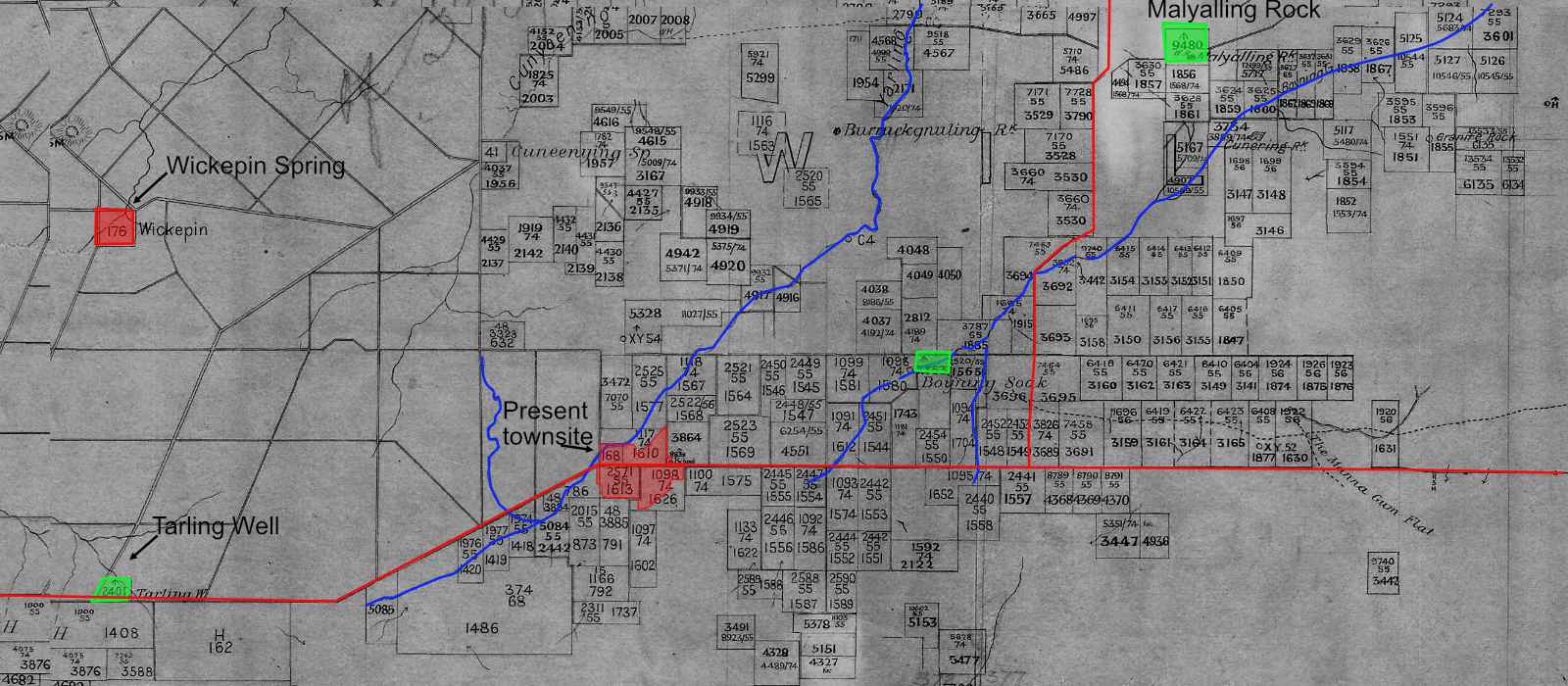
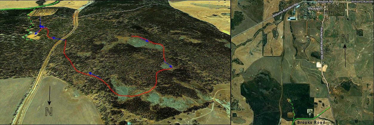
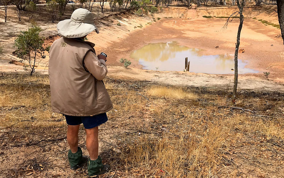
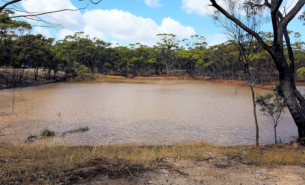
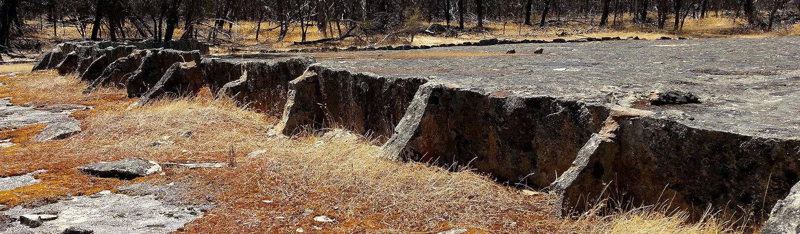
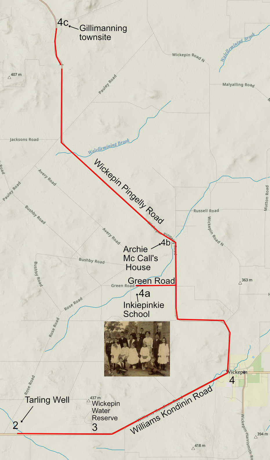
2a Tarling Well 12km west of Wickepin
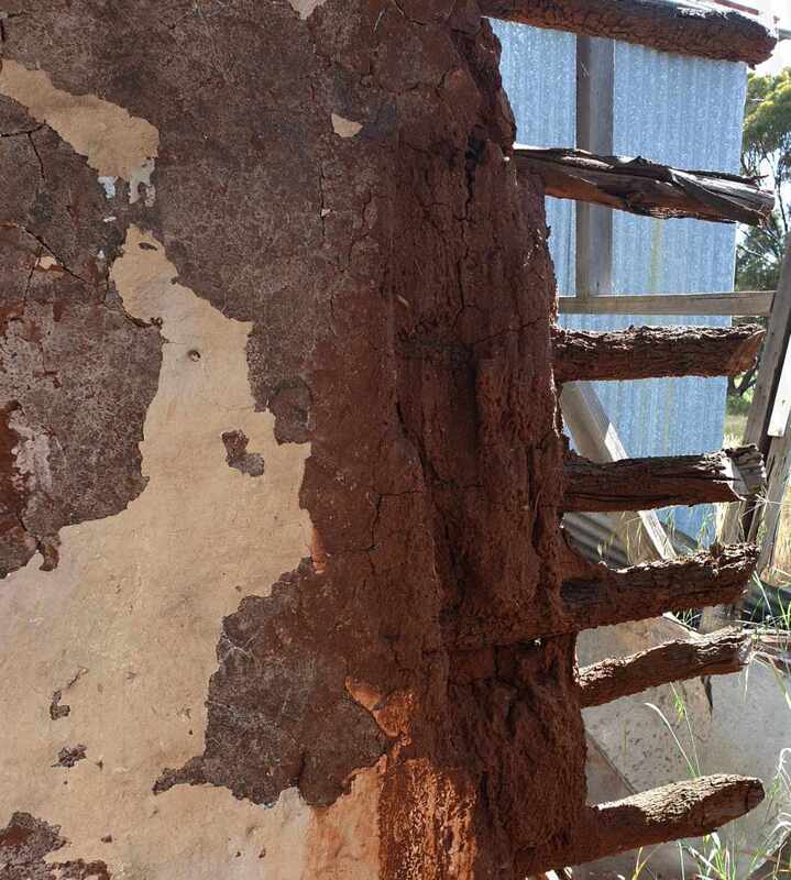
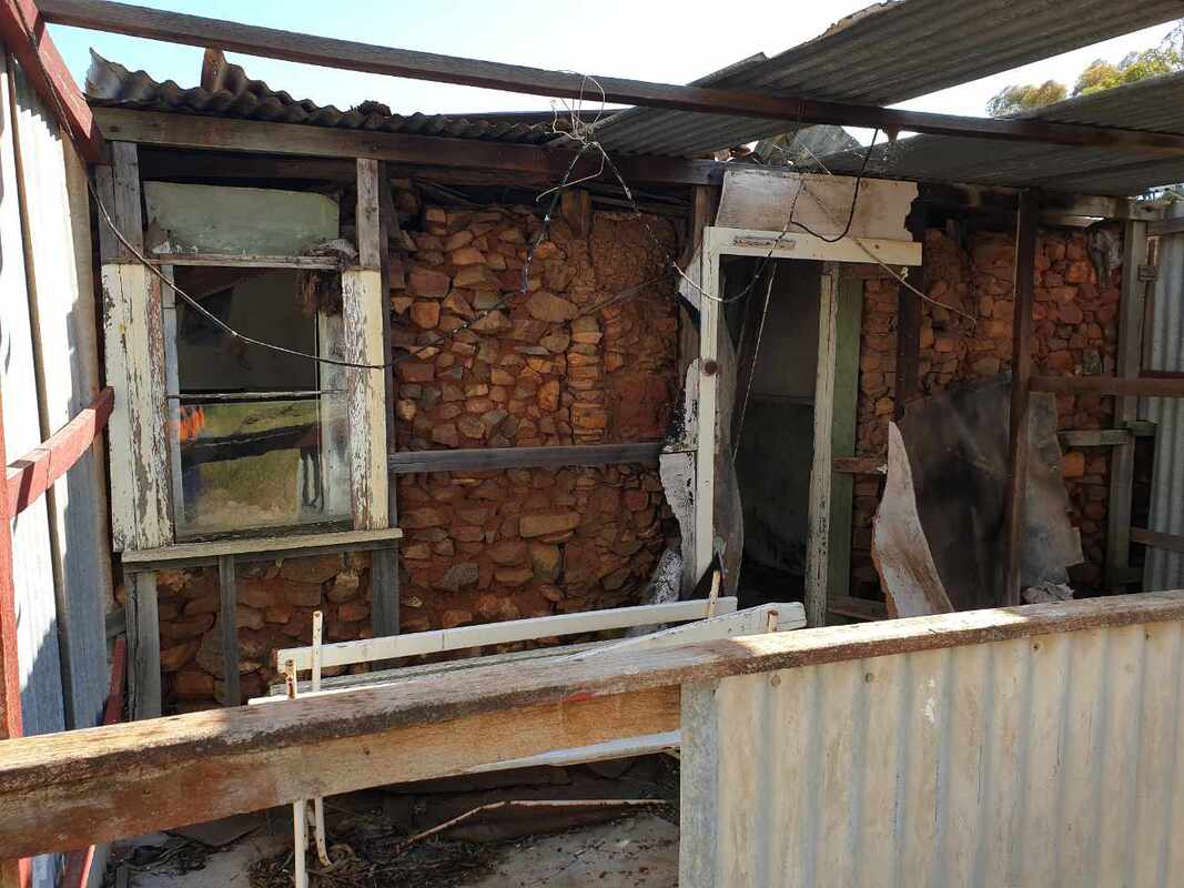
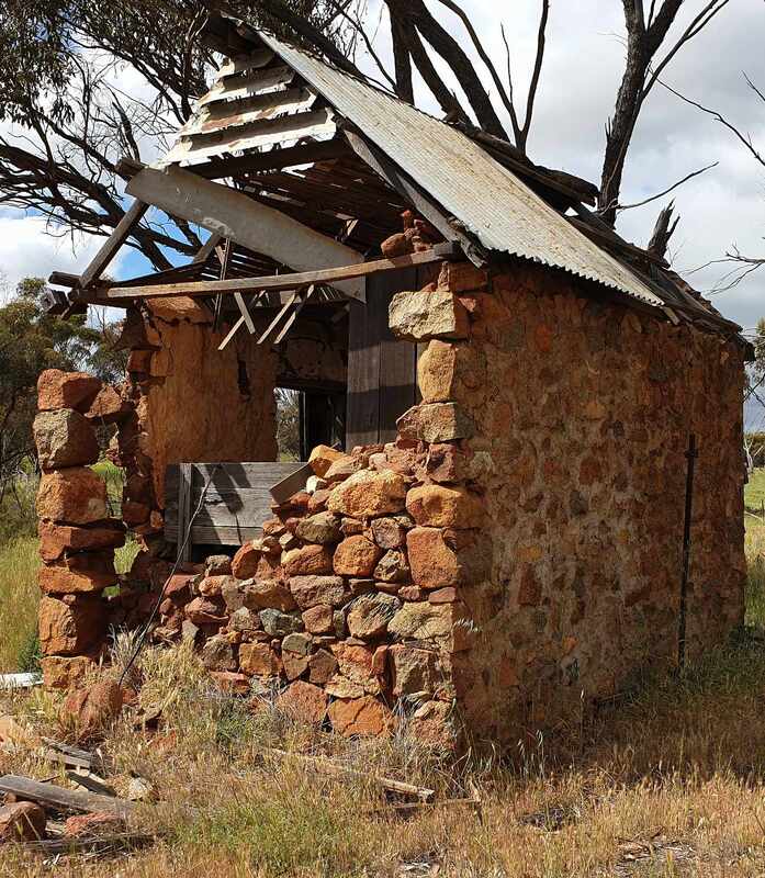
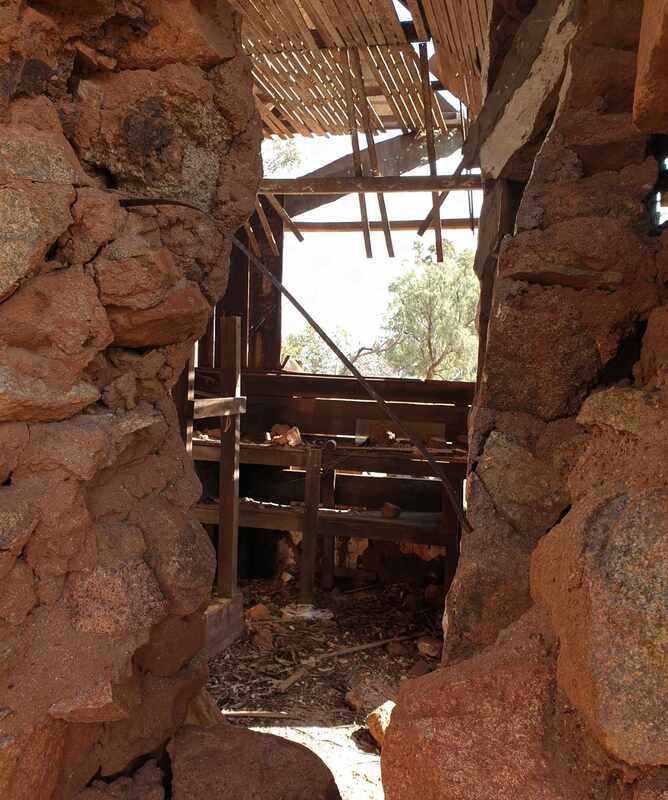
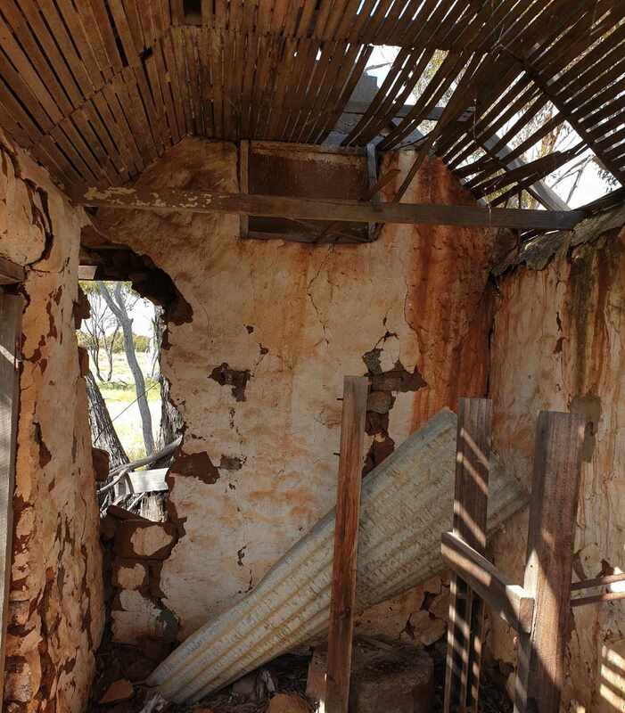
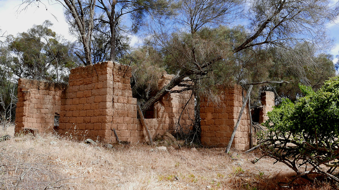
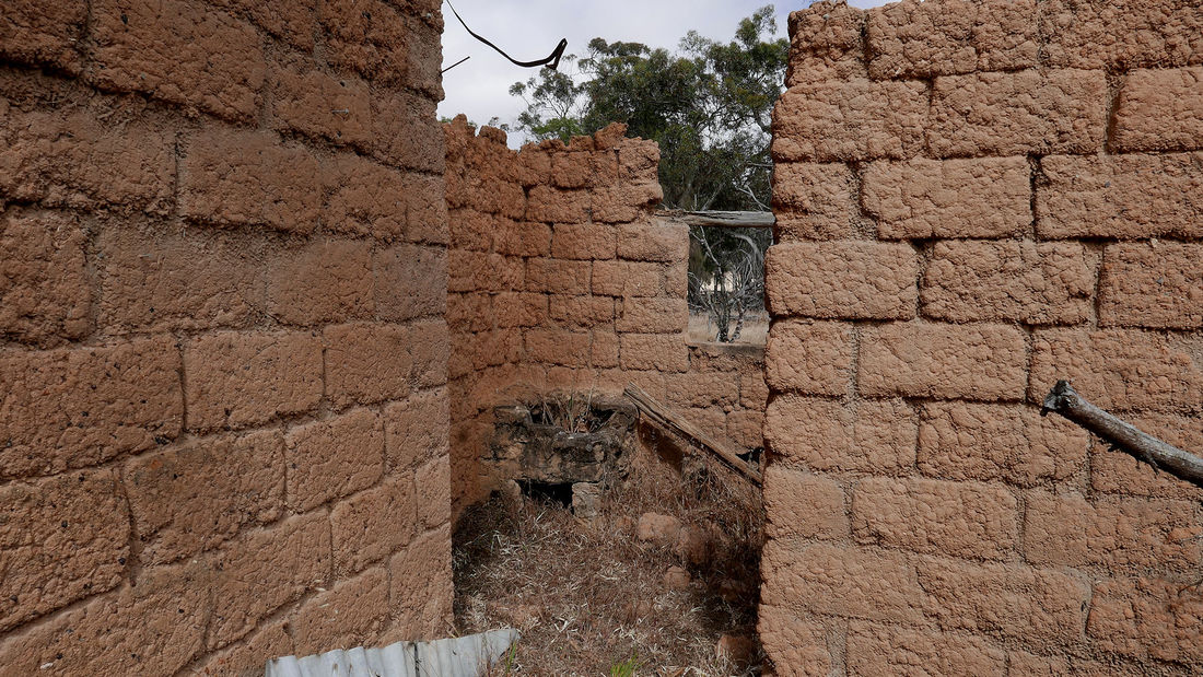
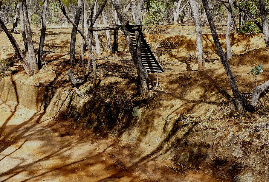
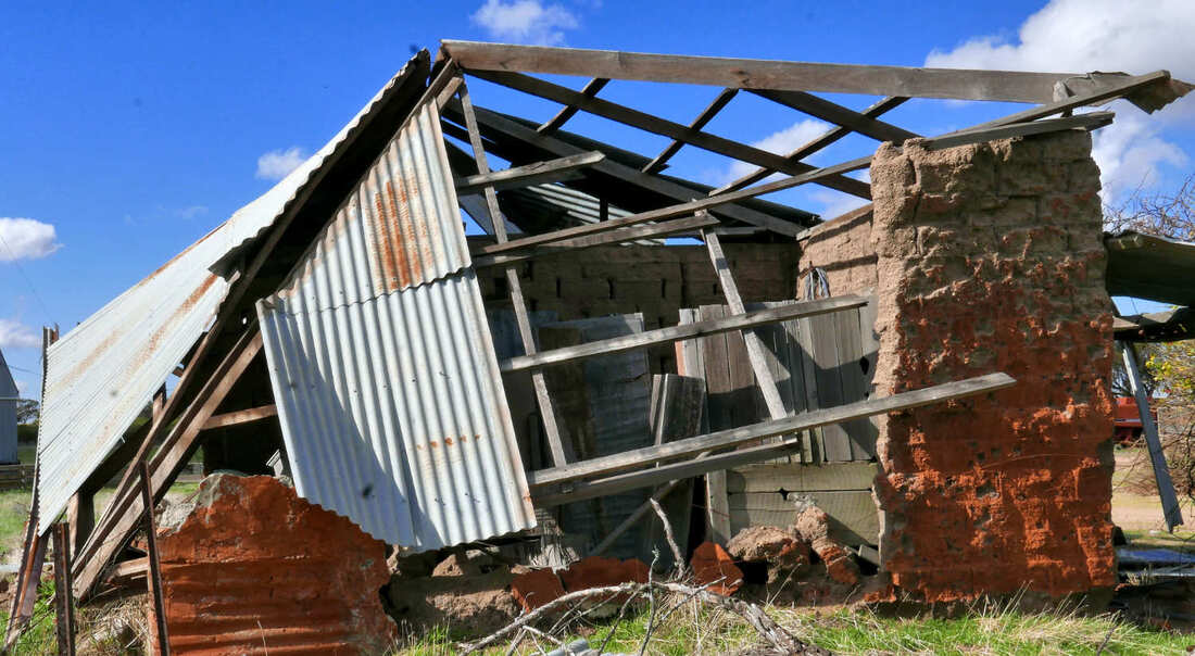
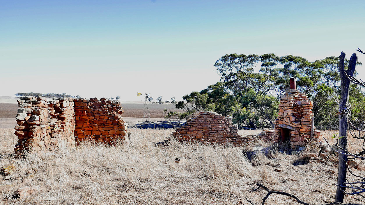
The area surrounding this well was opened up for free selection as early as 1893. A small settlement was established here soon after and Tarling well was built in 1905. This was gazetted in the late 1890's as the main townsite of the area. It was a popular place for weary travellers and their horses and became the delivery point for the local mail run between Narrogin and gillimanning. 2b Inkiepinkie School 7.2km north of Wickepin. Turn on to Inkiepinkie Road at 5.2km Remains of a small mud brick building erected by local residents in 1906 to house 10 students. Bricks were made from mud from a nearby creek and bush timber was used for the door and window frames. Albert Facey was enrolled but never actually attended. His name was used to make up numbers to ensure the school could open. The first building leaked badly and was replaced in 1914 when enrolments reached 30. Numbers declined sharply in 1923 and the school was closed. Two years later the building was relocated to Kulin. Inkiepinkie is a Scottish word Dictionaries of the Scots Language (DSL) defines this as: “Small beer” or “used in children’s rhymes” or a “stew or hash made from cold roast beef, vegetables and seasoning.” |
|
|
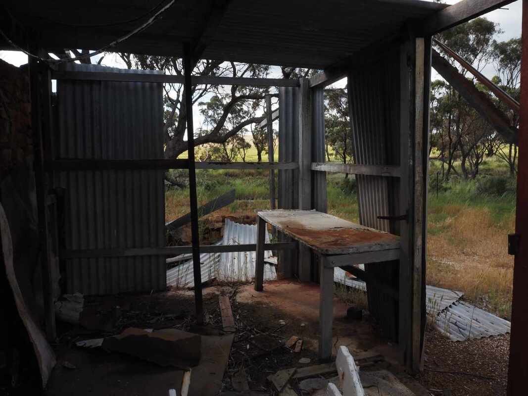
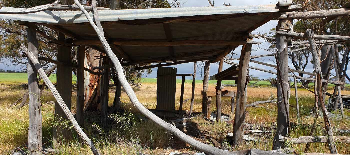
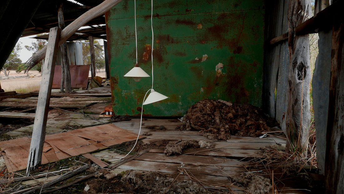
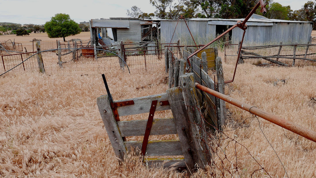
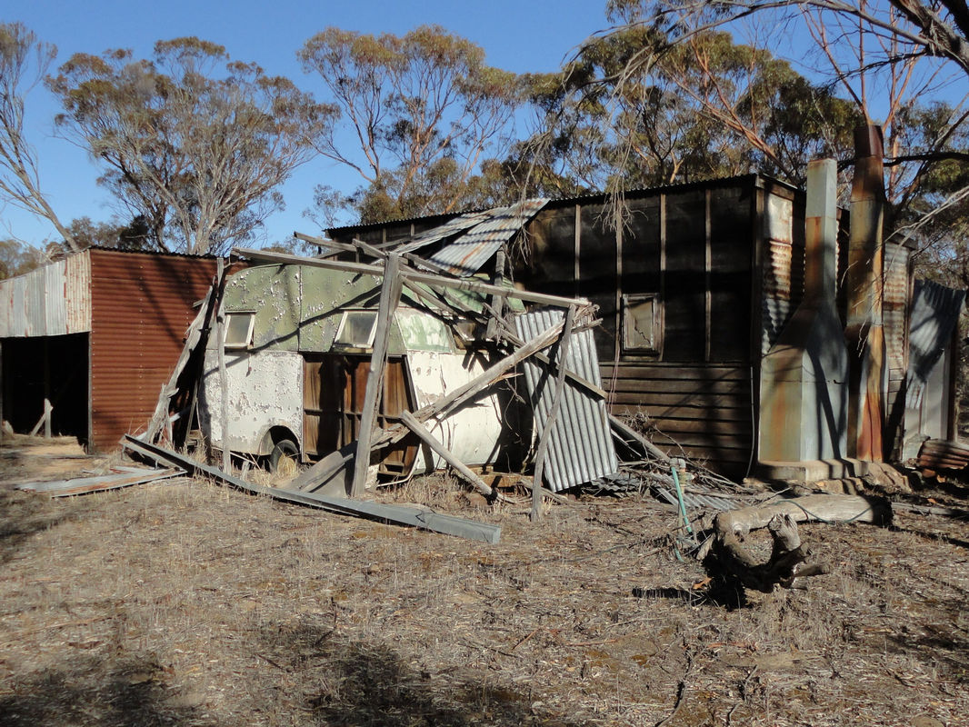
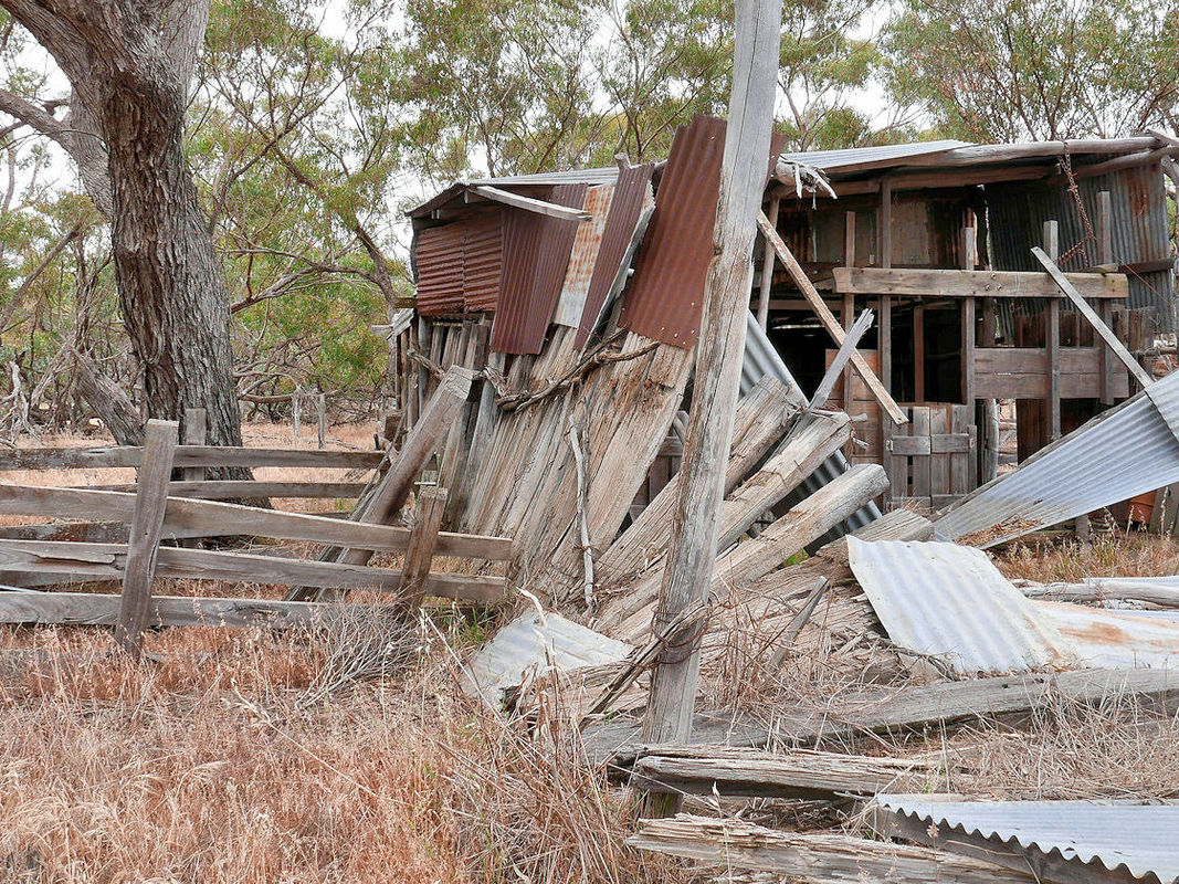
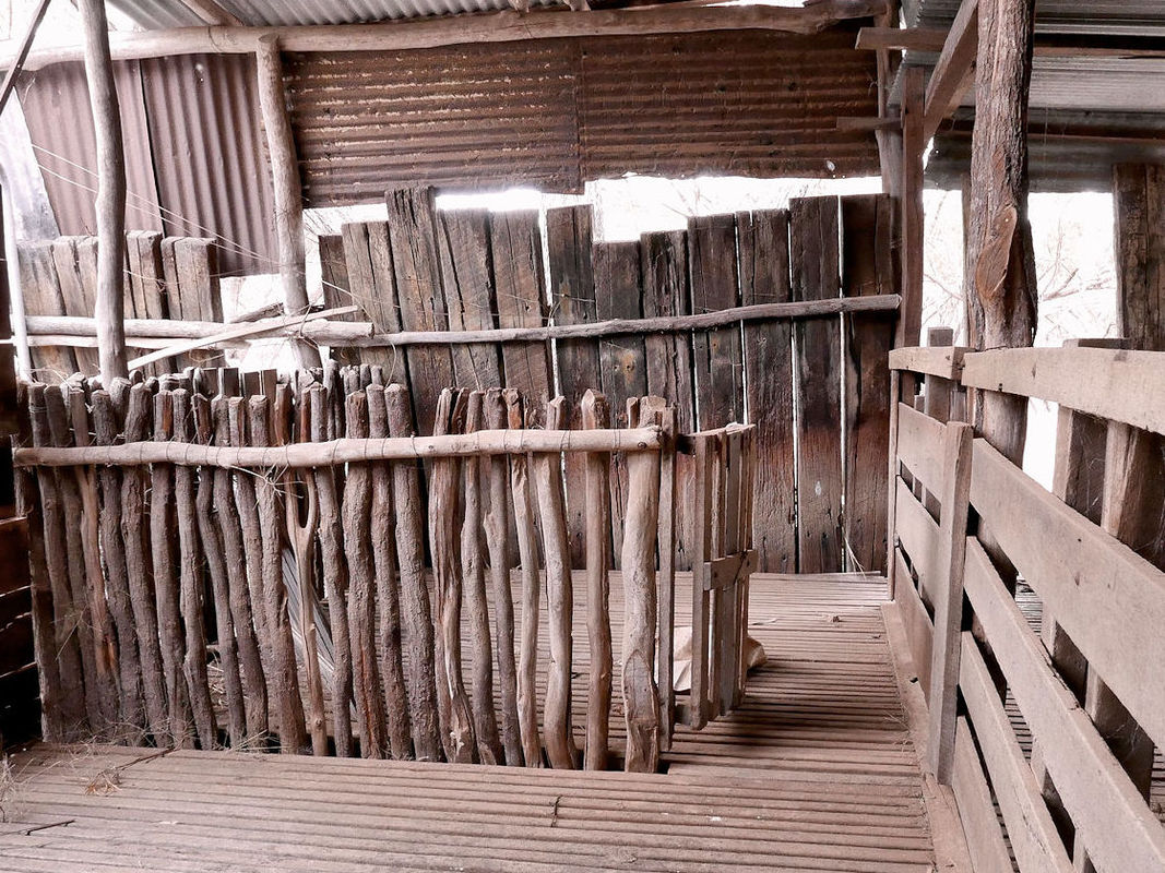
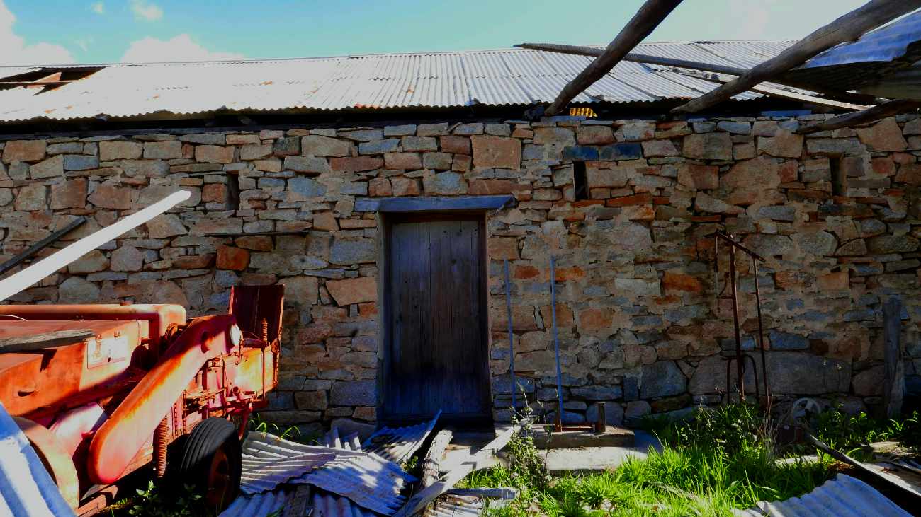
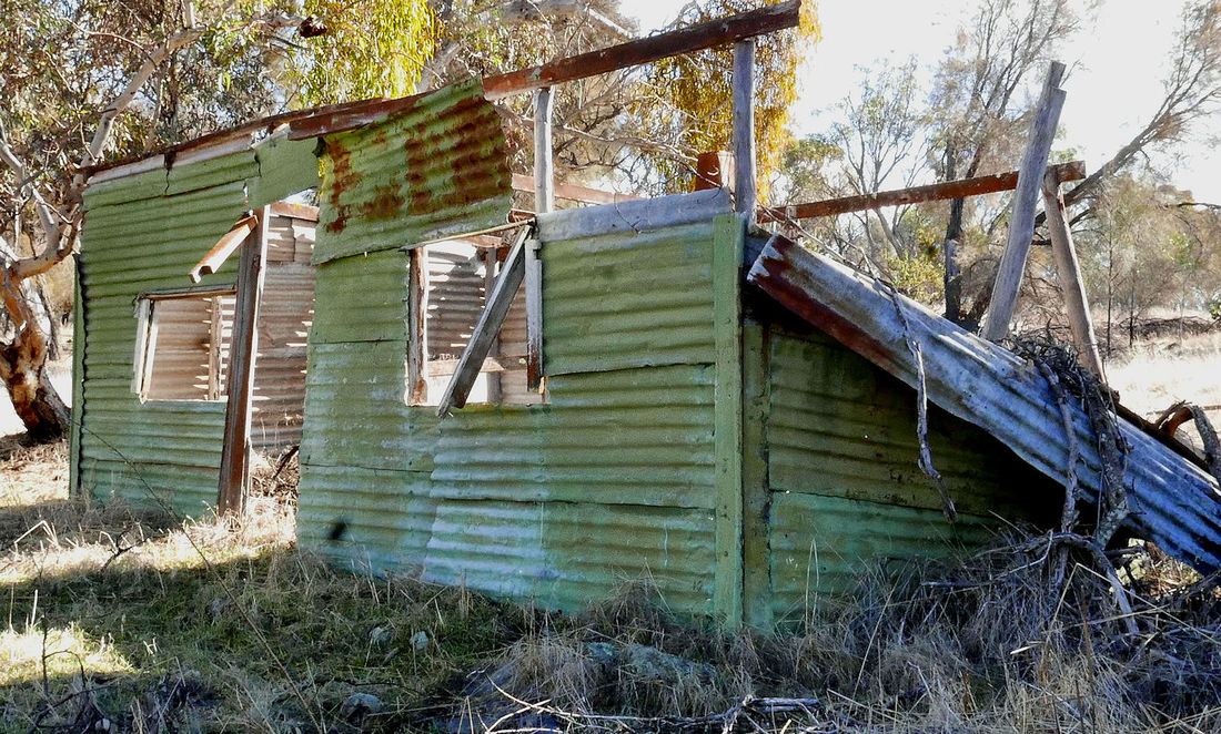
2c Archie McCall's farm 4km from Inkiepinkie schoolsite On the right hand side of the road there is an example of a typical bush timber shed. a Mulberry tree on the other side marks the location of the farmhouse. This is the farm owned by Albert's uncle Archie McCall. Albert lived here for about 18 months until being sent to work at Cave Rock just prior to his 9th birthday. When out of work Albert would return here and when employed would often visit his beloved grandmother. |
In September 1902, eight year old Albert Facey walked 140 miles (347km) on a trip with with his family from York to Archie McCall's new property. The trip took three weeks. The children were barefoot because they couldn't afford to buy new ones when their existing boots wore out |
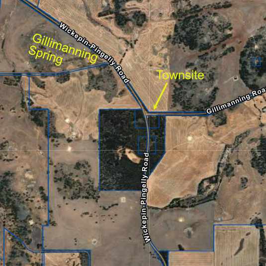
2d Gillimanning Approximately 11 km from McCall's farm.
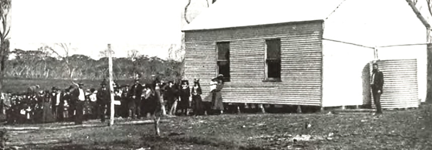
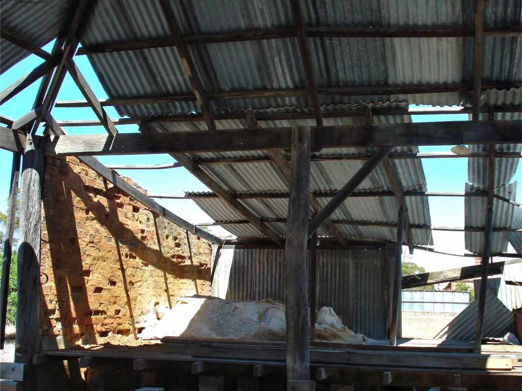
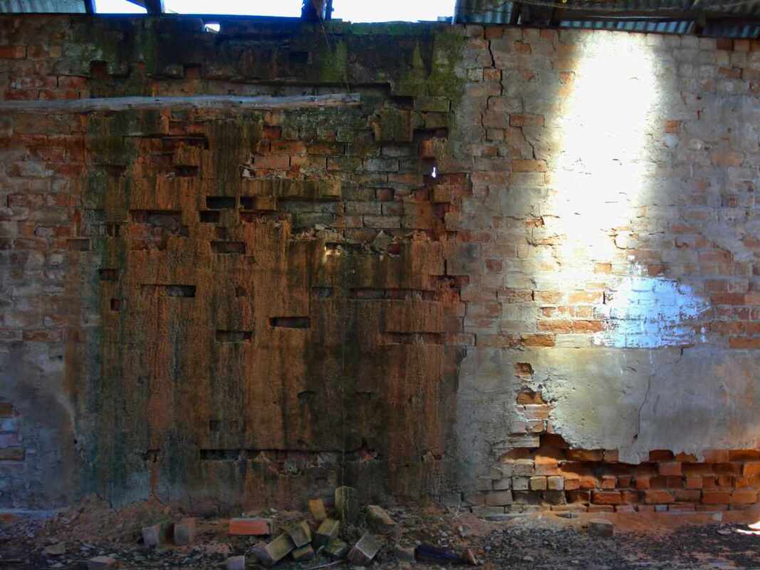
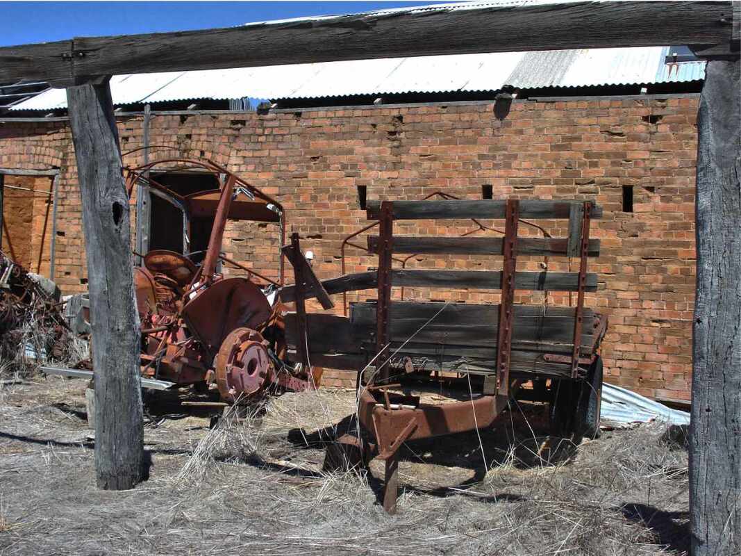
The Facey family camped here when they first came to the area. The town of Gillimanning was established in 1905 although Albert mentions the place as early as 1903 when they moved to Archie McCall's nearby property. By 1907 a weekly mail service had been established between Narrogin and Gillimanning from where the family collected their mail. A very active and dedicated community developed facilities for the area including a community hall and school which opened in 1909. The townsite is unusual in that it is located on a ridge a few kilometres south of Gillimanning Spring.
Two Other Notable Wickepin Residents
J.C.M. Fisher
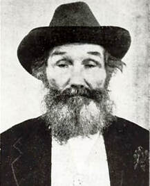
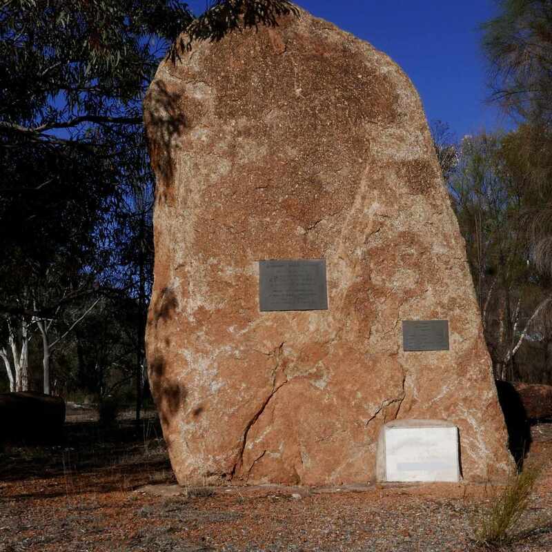
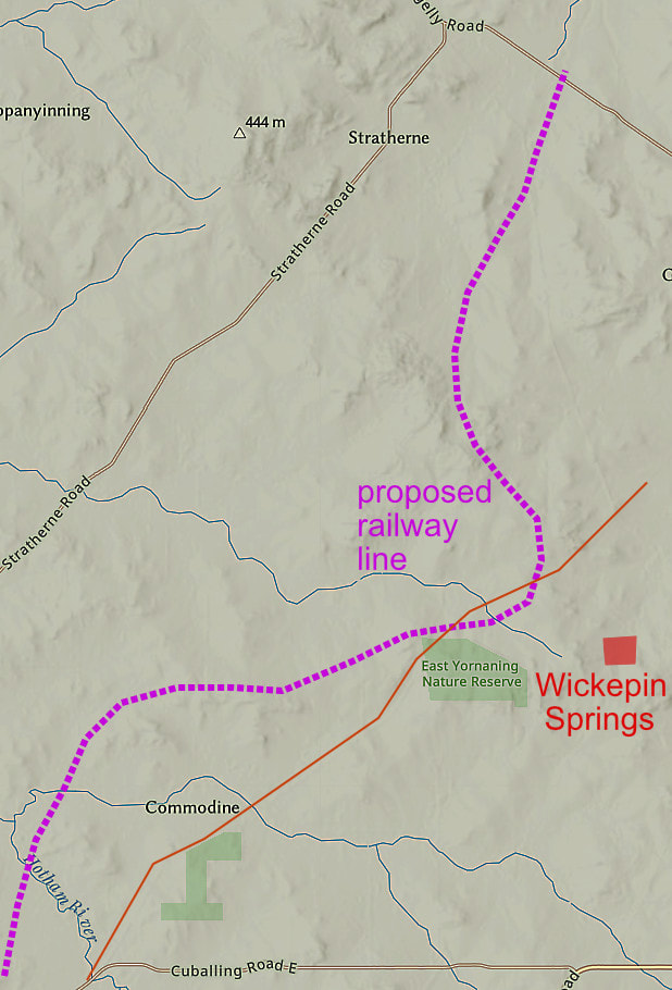
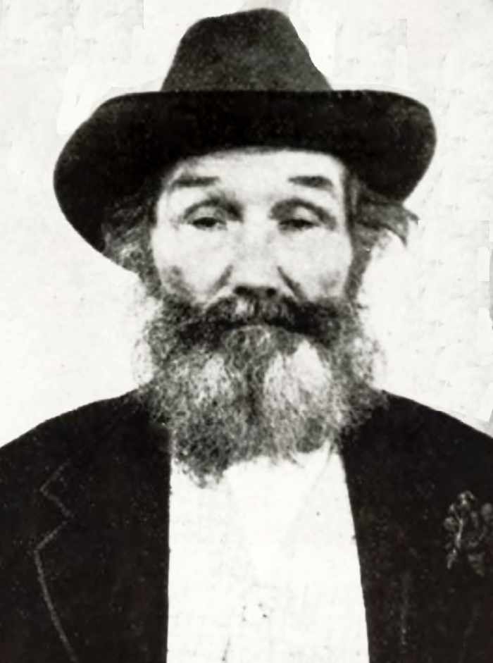
J.C.M. Fisher and the Church of the Newborn In the early 1900s about 70 Church of the Newborn members emigrated from Victoria to form a group farm called New Jerusalem. They rapidly developed their land and constructed a church, hall and a school. J.C.M Fisher the leader, was an extraordinary character - an escaped convict, bigamist, faith healer, and preacher. Despite this, members were decent hard working community-minded citizens who were instrumental in getting a railway line from Narrogin to Yarling Well, which was surveyed as the town of Wickepin in 1909. After Fisher's death they engaged in the community as business owners and Wickepin Road Board members. 'They have made commendable progress, and there is every indication of the members becoming prosperous settlers'.The visitors observed that 'a spirit of co-operation and mutual help permeates the whole community and governs all its actions. While communism is entirely absent, the settlement might nevertheless be described as one large family, in which the stronger help the weaker' ((visit by future Premier Newton Moore 1909) |
Dorothy and sister Leslie 1930
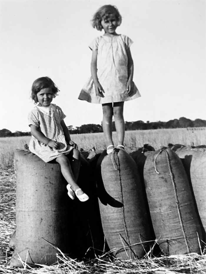
Dorothy Coade Hewett AM (1923 – 2002) Dorothy was an Australian playwright, poet and author, and a romantic feminist icon. Until the age of 12, she lived on Lambton Downs farm north of Wickepin. The selection had been taken by her maternal grandparents (Ted and Mary Coade) in 1912, and the land was cleared by 15-year-old Albert Facey. Much of her work was autobiographical and intensely personal, and several works were set in her childhood dreamscape of wheatbelt Western Australia. Hewett was an experimenter. As her circumstances and beliefs changed, she progressed through different literary styles: modernism, socialist realism, expressionism and avant garde. She was a member of the Australian Communist Party in the 1950s and 1960s, which informed her work during that period. Later, she became very disillusioned with communism. |
For information on regional Wickepin attractions,click these hyperlinks
Yealering and wide world of Wickepin brochure
Malyalling nature Reserve
Lake Toolibin
Harrismith
Yealering and wide world of Wickepin brochure
Malyalling nature Reserve
Lake Toolibin
Harrismith
References and useful websites
Wickepin WA - Aussie Towns (1)
Wikipedia - Dorothy Hewitt
Wickepin Shire Council website
"A Fortunate Life" A.B. Facey Penguin Books 1981
Gillimanning blog
New Jerusalem: A Historic Wickepin Cult Location
Wickepin WA - Aussie Towns (1)
Wikipedia - Dorothy Hewitt
Wickepin Shire Council website
"A Fortunate Life" A.B. Facey Penguin Books 1981
Gillimanning blog
New Jerusalem: A Historic Wickepin Cult Location