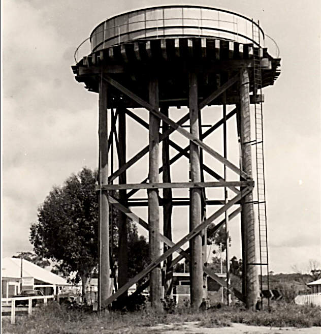
 Demolished water tank
 The dam was constructed around 1910 as a water supply for steam trains travelling on the first railway line from Narrogin to Wickepin. Water from the dam was piped to a huge tank, which could hold about 25,000 gallons of water, which was erected on 40ft jarrah poles. Originally erected to serve the needs of the rail transport and steam locomotives, the water provided water to the town’s residents when long hot summers depleted domestic supplies. The arrival of the Comprehensive Water Scheme and the Wickepin
Scheme water tank in 1964 ended Wickepin's chronic water shortage.
The 1908 tank near the centre of town, which had become a local landmark was demolished in 1974.
To get to the dam, drive about 4km south of Wickepin, turn right on to Brooks Road then right at the gravel pit that has been converted to a roaded catchment (see old dam sign). Go down an unformed track at the right (east) of the catchment that leads down to the dam.
This spot is mainly of historical interest and as a picnic site. There are no facilities. Several tracks lead further into the reserve from the dam but they don’t lead to any road and may be impassable.
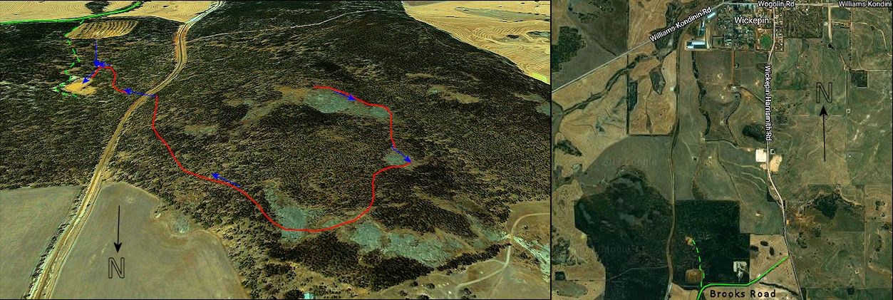
Red line with blue arrows show catchment banks
The dam was dry on our visit, but completely filled within a fortnight and I suspect will become a good yabbie spot for the locals for quite a while.
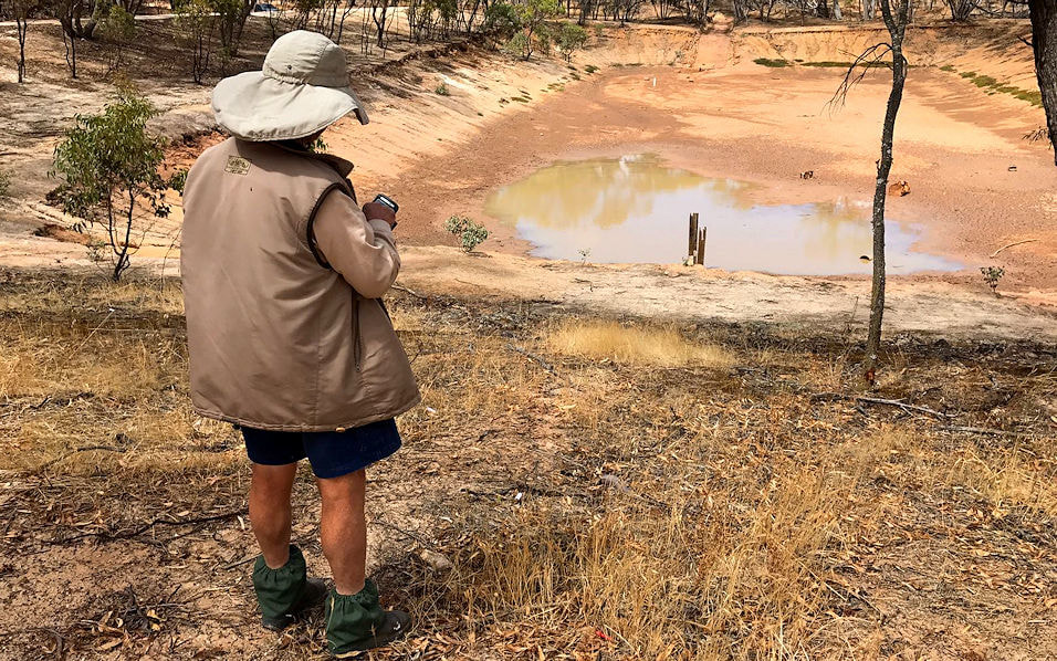 Empty dam | 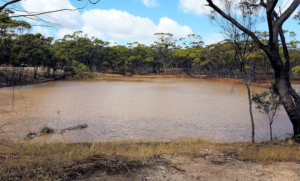 Full dam |
The catchment for the dam is quite impressive as there is a long and winding bank with carefully fashioned and placed lines of granite slabs that catch water from the granite outcrops on the adjoining ridge.
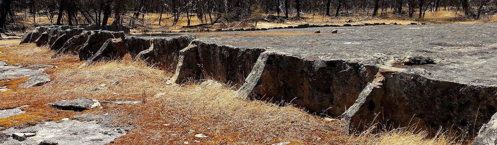
Granite slab wall
Some people spent a lot of time doing this! The inlet to the dam is also carefully lined by rocks, apparently by World War Two Italian prisoners of war.
Some abandoned cars and cubbies attest to an interest in the reserve by local youth.
Some abandoned cars and cubbies attest to an interest in the reserve by local youth.
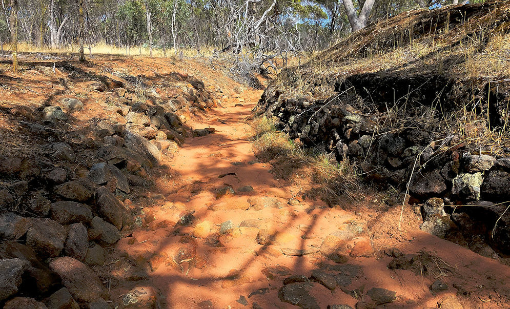 stone-lined inlet channel | 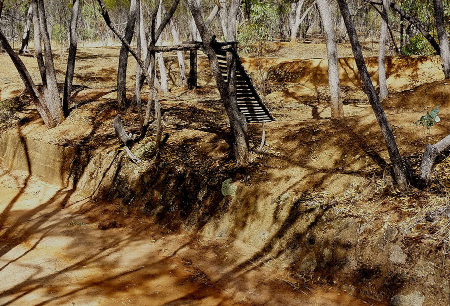 old cubby |