This edition is almost entirely based on word of mouth; I hope that it stimulates discussion that reveals more information.
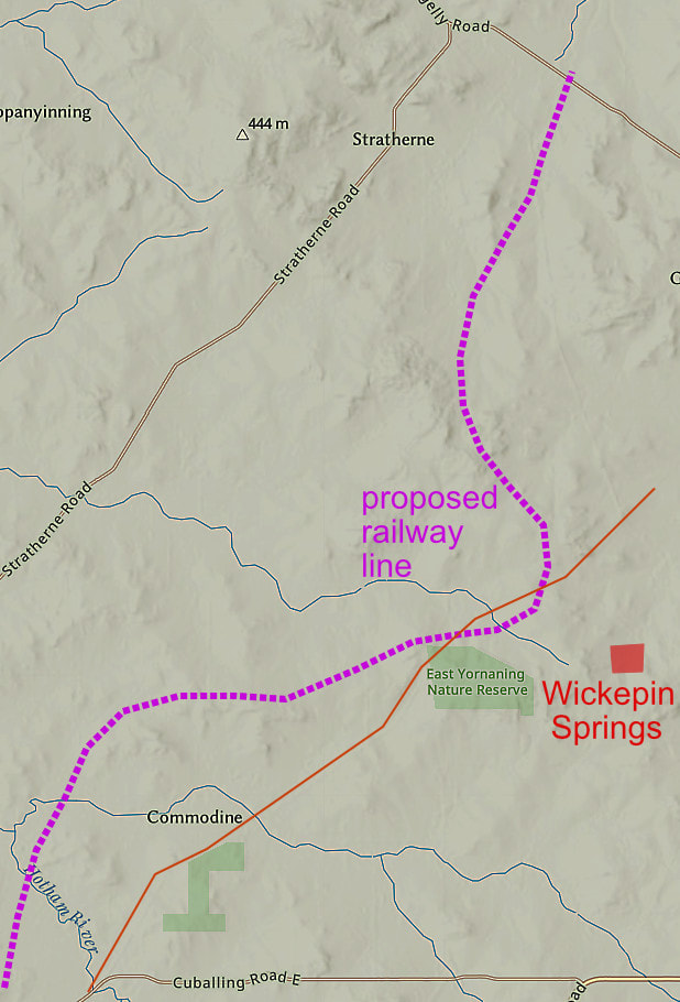
A colleague took me to a remarkable high point on his family farm between Yornaning and present Wickepin called Wickepin Springs. It is labelled Wickepin on the old lithographs and having permanent spring water, was apparently targeted as a town along a railway line from Cuballing to Kalgoorlie.
Sometime around the turn of the 20th century, there was a plan to construct a railway line to transport coal from Collie to Kalgoorlie. Cuballing was initially selected as the junction with the Northam-Albany line. Businesses and fine buildings sprung up, and farmers flocked to settle land east of Cuballing to have close access to a siding.
Neighbouring Narrogin was a serious rival (what’s new), despite a disadvantage of the steep section the existing railway at Chugamunning Hill between Narrogin and Cuballing where two locomotives were required to get up the slope ( if the junction was at Cuballing, Perth-bound freight from east and west could avoid the hill).
Narrogin representatives wined and dined the relevant minister, which started a petitioning war to government with rumours of false signatures. In 1906 Narrogin was declared the winner, ostensibly because a Collie-Narrogin line was in construction. However a Cuballing resident told me that the minister had bought land east of Narrogin. (Hmm!)
So instead of a line from Cuballing Wickepin Springs, Gillimanning Yealering, We have Narrogin, Wickepin, Yealering.
The Mungerungcutting race track named after the adjoining Mungerungcutting Soak, remained in use for many years after the present Wickepin townsite was established.
The name Wickepin may have originated from Woorkabing Hill, a large granite rock with the tower on Gillimanning Road.
Wickepin Spring is at the base of a large rocky outcrop.
We found remnants of an old mud and granite general store and a loading ramp, and with another spring up near the top of the Wickepin Springs rock.
For a visual exploration of the site on Google Photos click https://photos.app.goo.gl/VJPr7HwiefHCJBTd6
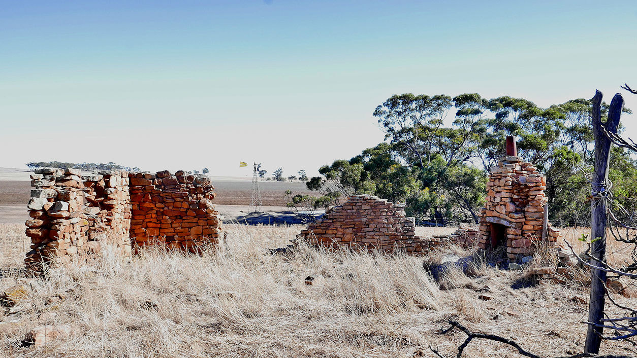 General store | 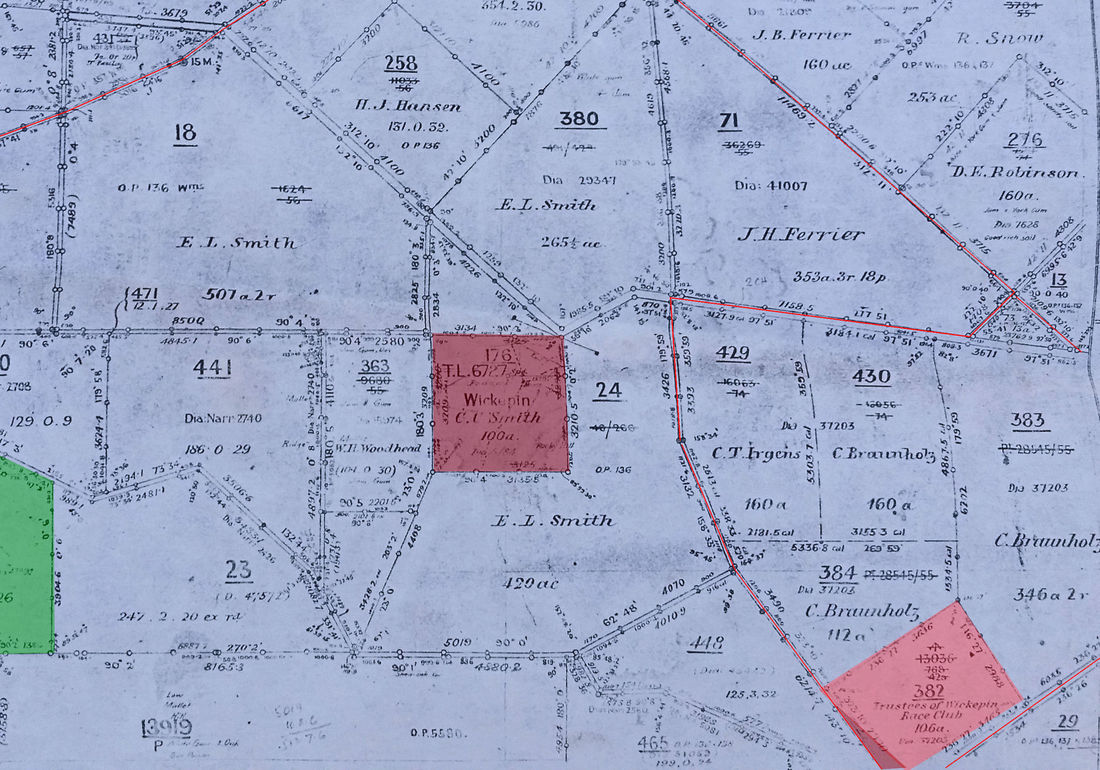 |
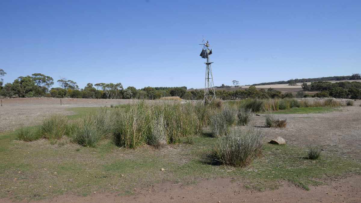 Upland spring | 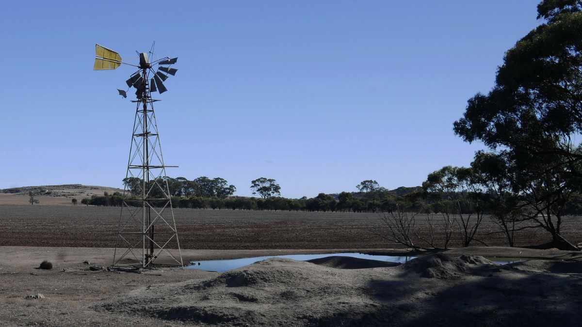 Lower spring |