This 140km drive featuring early settlement history takes more than one day to complete. The route is sealed, with small gravel road deviations. Stops are numbered to help visitors plan their stay in this area.
Information on many of the stops is available via hyperlinks, or as bulletins from the Narrogin and Dryandra Visitor Centre.
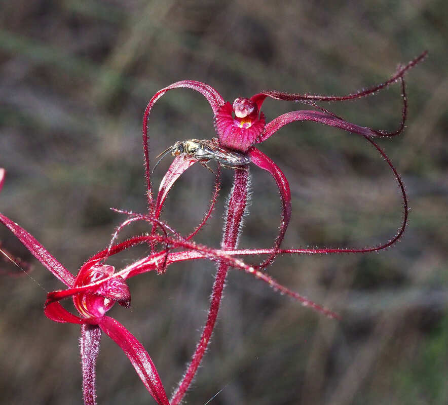
Some stops have lovely spring wildflower and wildlife areas.
Information on many of the stops is available via hyperlinks, or as bulletins from the Narrogin and Dryandra Visitor Centre.
Some stops have lovely spring wildflower and wildlife areas.
| narrogin_wickepin_pingelly_history_drive brochure |
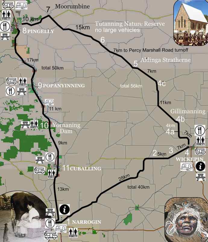
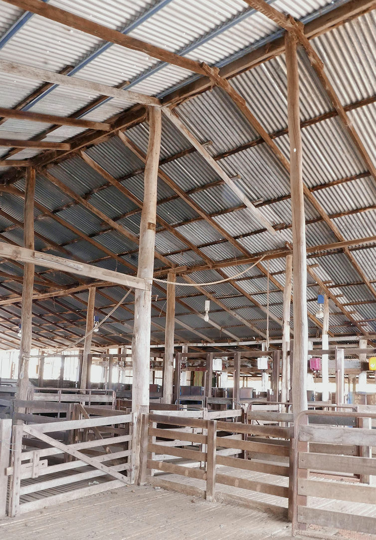
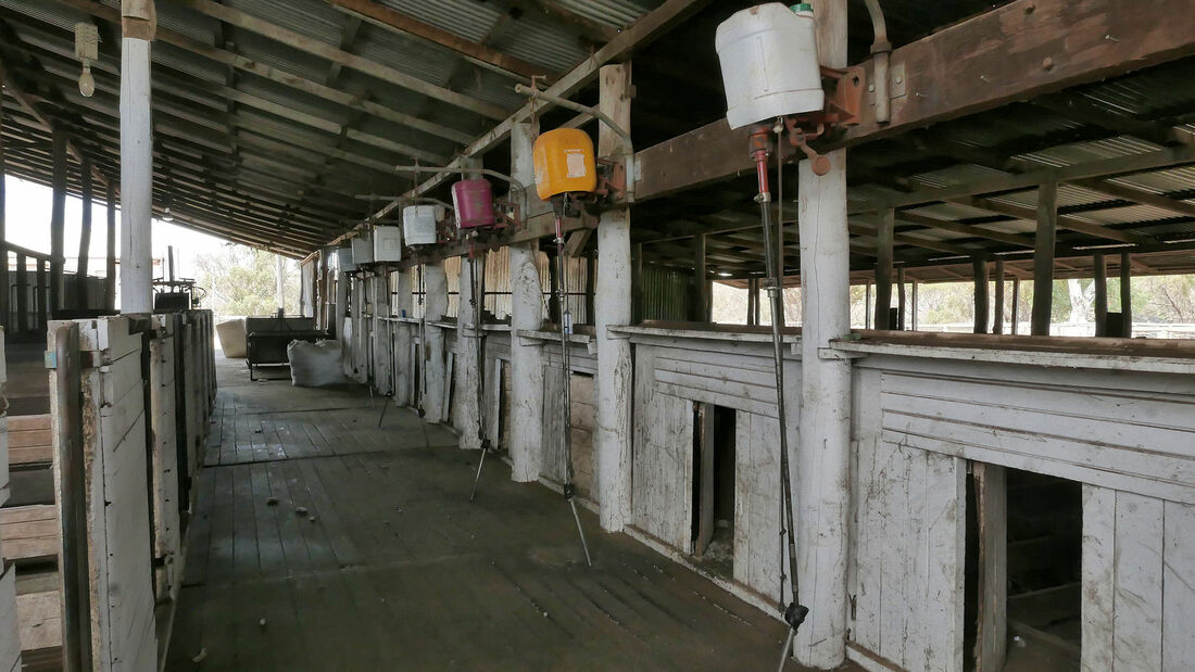
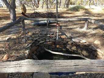
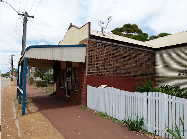
 | 1. Narrogin is a regional centre with a proud railway history. History buffs can spend a day here seeing the attractions listed on the Narrogin and Dryandra Visitor Centre website. Come to the Visitor Centre to collect printed brochures for Narrogin and other stops on the drive trail. Don't miss the great diorama of Narrogin railway town in its heyday.
| ||
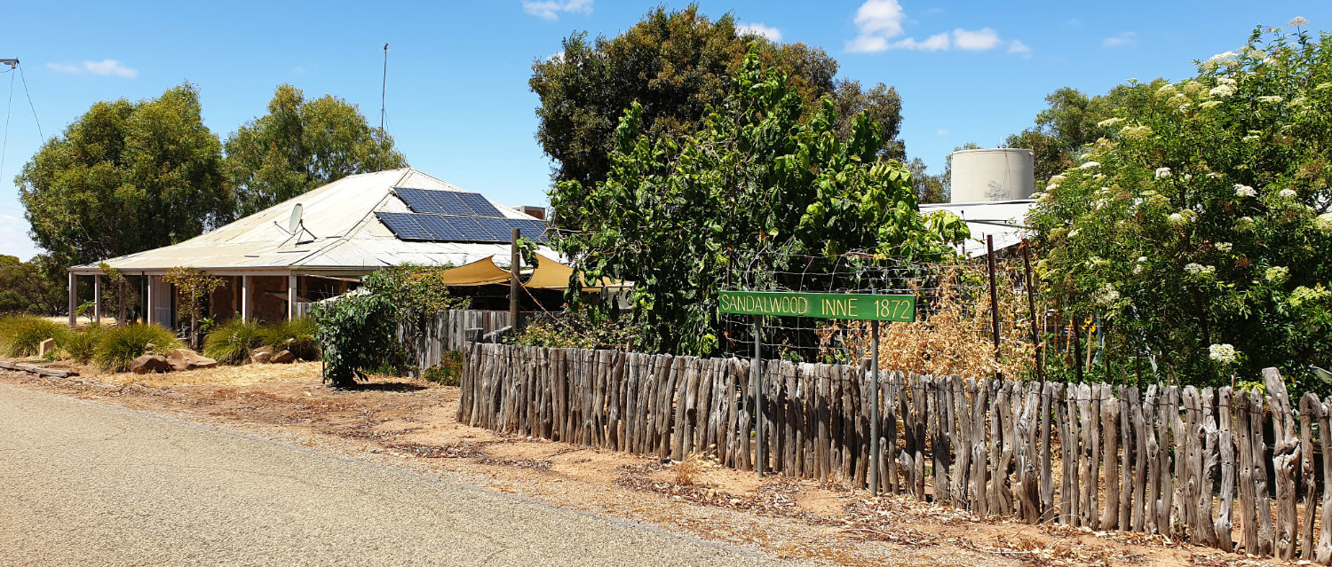
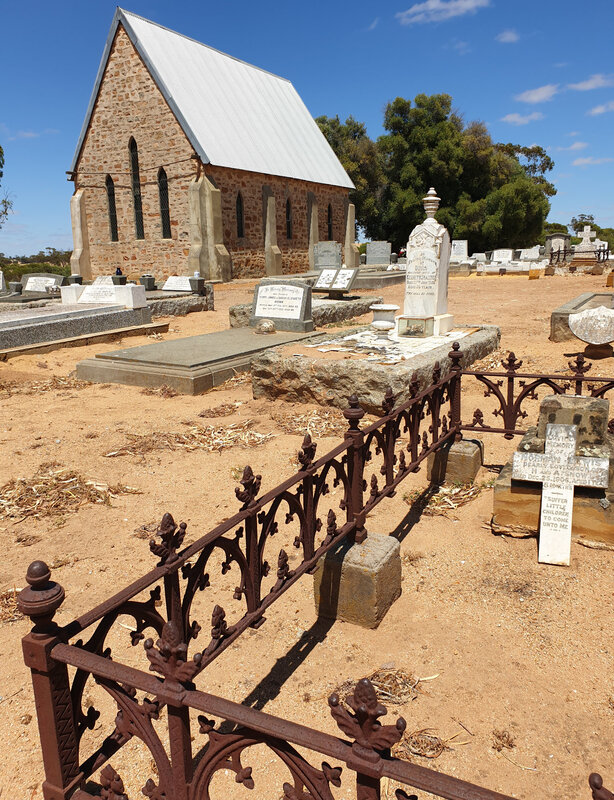
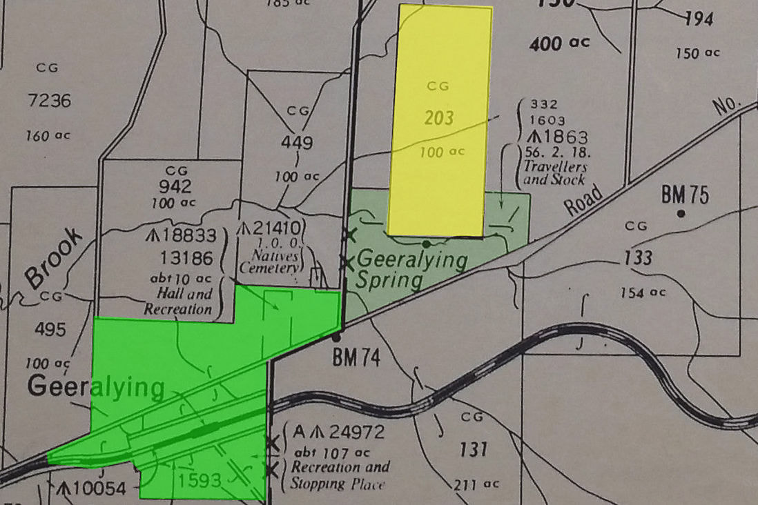
2. Tarling Well.
28km from Narrogin
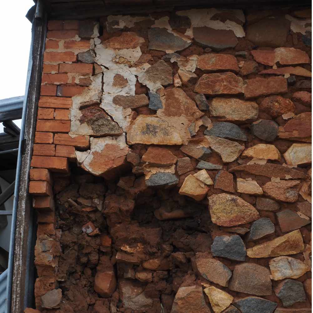
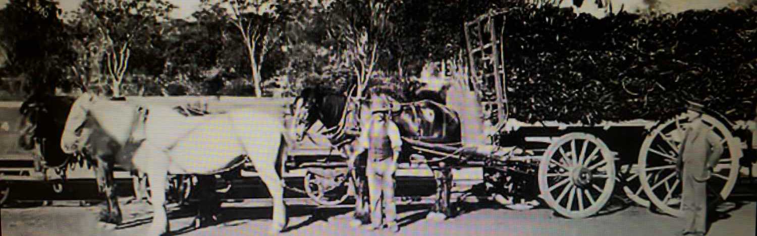
Water holes and soaks were the meeting places and camping sites of the sandalwood cutters and shepherds minding sheep on pastoral leases before the land was open for farming in 1892. The area surrounding this well was opened up for free selection as early as 1893. A small settlement was established here soon after and Tarling well was built in 1905. This was gazetted in the late 1890's as the main townsite of the area. It was a popular place for weary travellers and their horses and became the delivery point for the local mail run between Narrogin and Gillimanning.
28km from Narrogin
Water holes and soaks were the meeting places and camping sites of the sandalwood cutters and shepherds minding sheep on pastoral leases before the land was open for farming in 1892. The area surrounding this well was opened up for free selection as early as 1893. A small settlement was established here soon after and Tarling well was built in 1905. This was gazetted in the late 1890's as the main townsite of the area. It was a popular place for weary travellers and their horses and became the delivery point for the local mail run between Narrogin and Gillimanning.
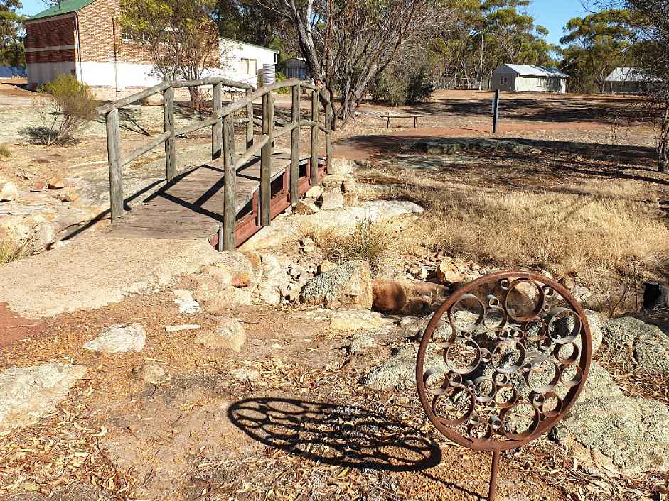
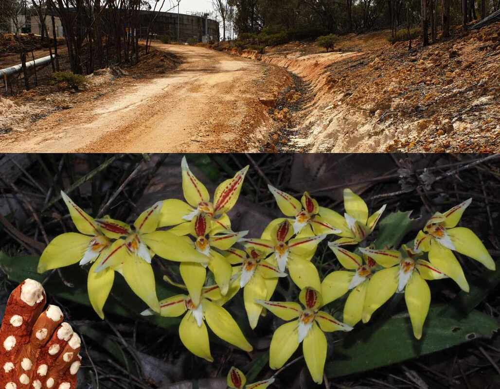 | 3 Wickepin Water Tank and Claypit Nature Reserve 5km from Tarling Well This is part of the water pipeline from the Harris River near Collie, which is critical for towns and businesses. Fresh water has always been limited, but the rise of saline groundwater following land clearing has made the problem much worse. The surrounding Claypit Nature Reserve has attractive winter/spring wildflowers, and an area of red and white ochre, (as used in Noongar ceremonies). |
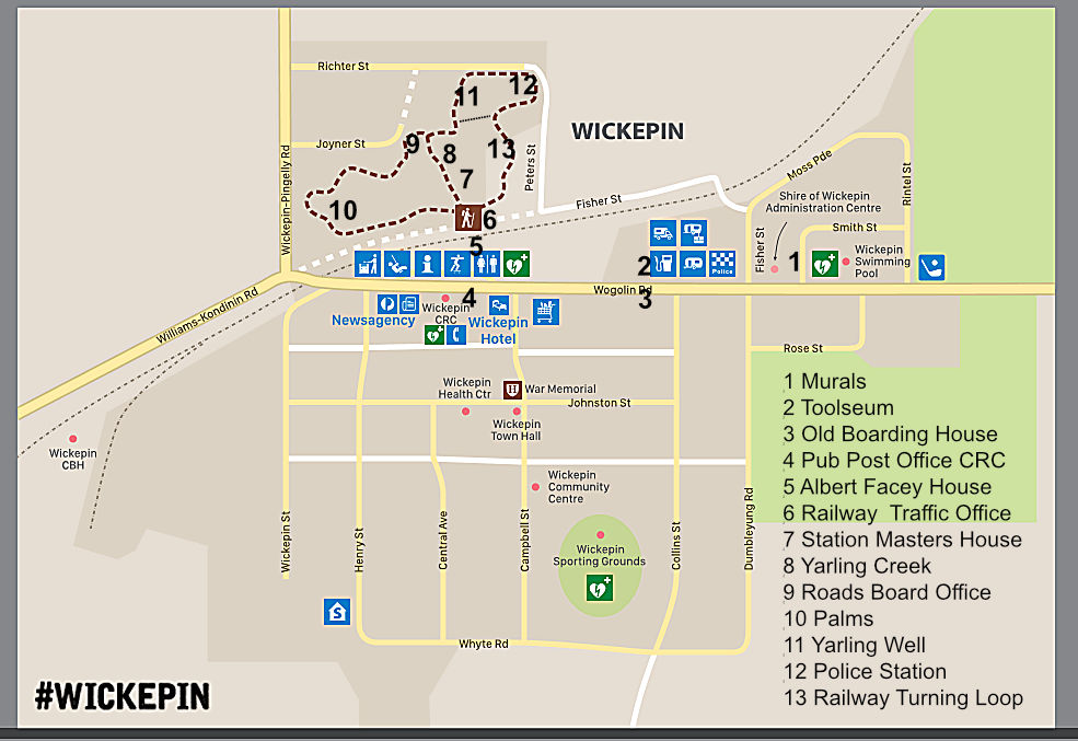
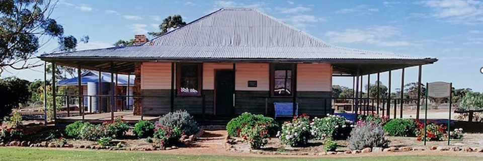
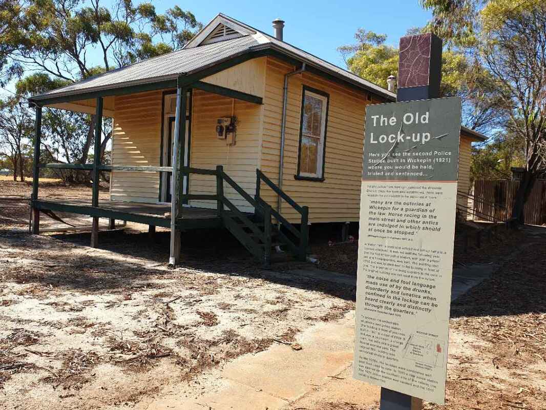
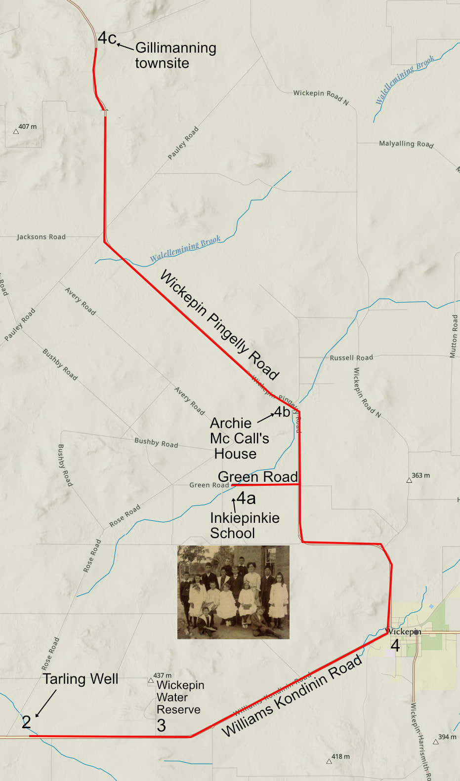
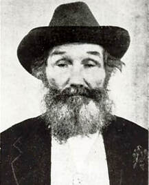
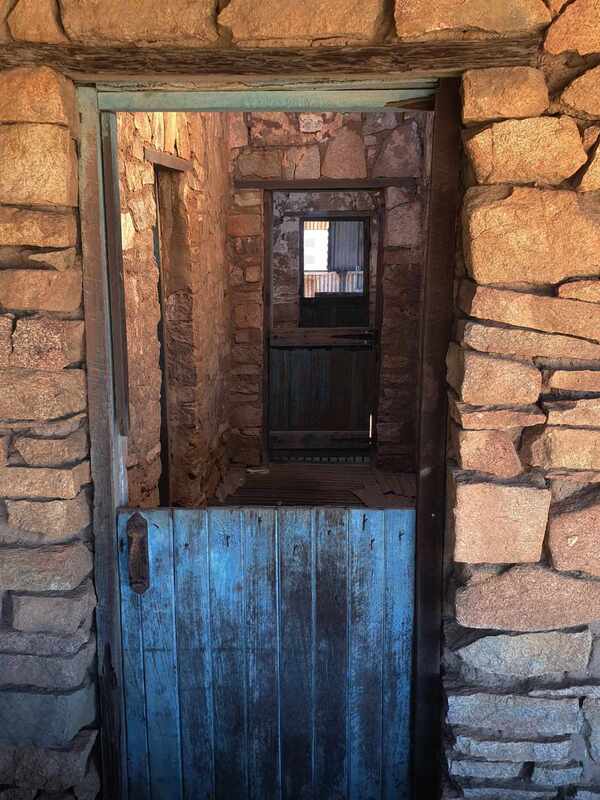
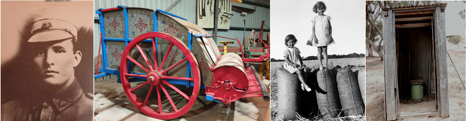
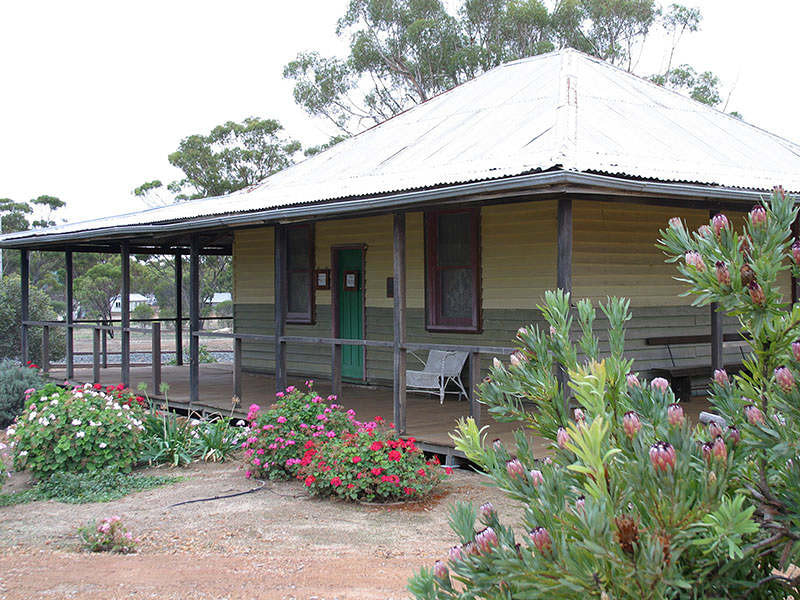
| 4,4a,4b,4c. Wickepin Town and Facey Heritage Drive 7km from Wickepin Water Tank Wickepin is well known for its association with Albert Facey, the author of the best selling book "A Fortunate Life". After visiting Facey House, stay a while to walk the Heritage Walk Trail and see other attractions. 4a, 4b, and 4c are Inkiepinkie, Archie McCall homestead, and Gillimanning stops on the Facey heritage trail.
|  | ||
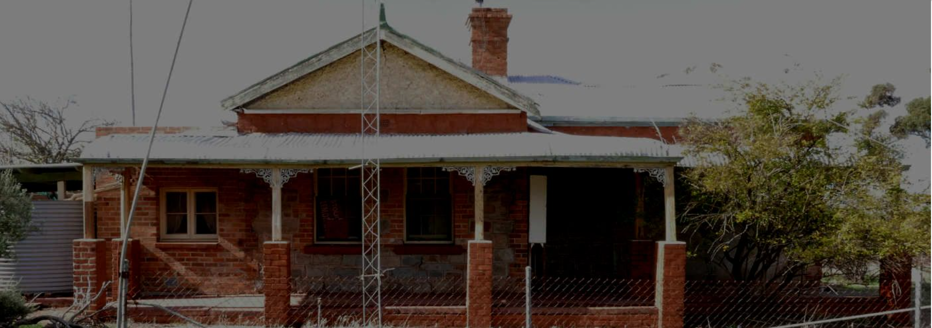
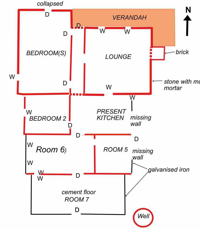
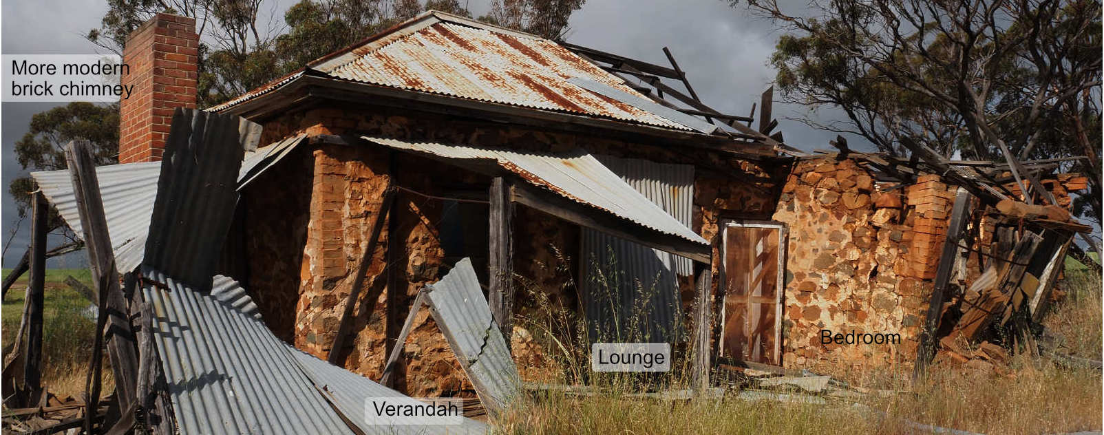
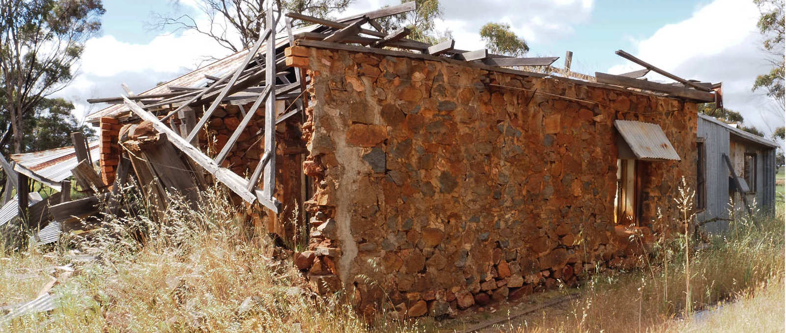
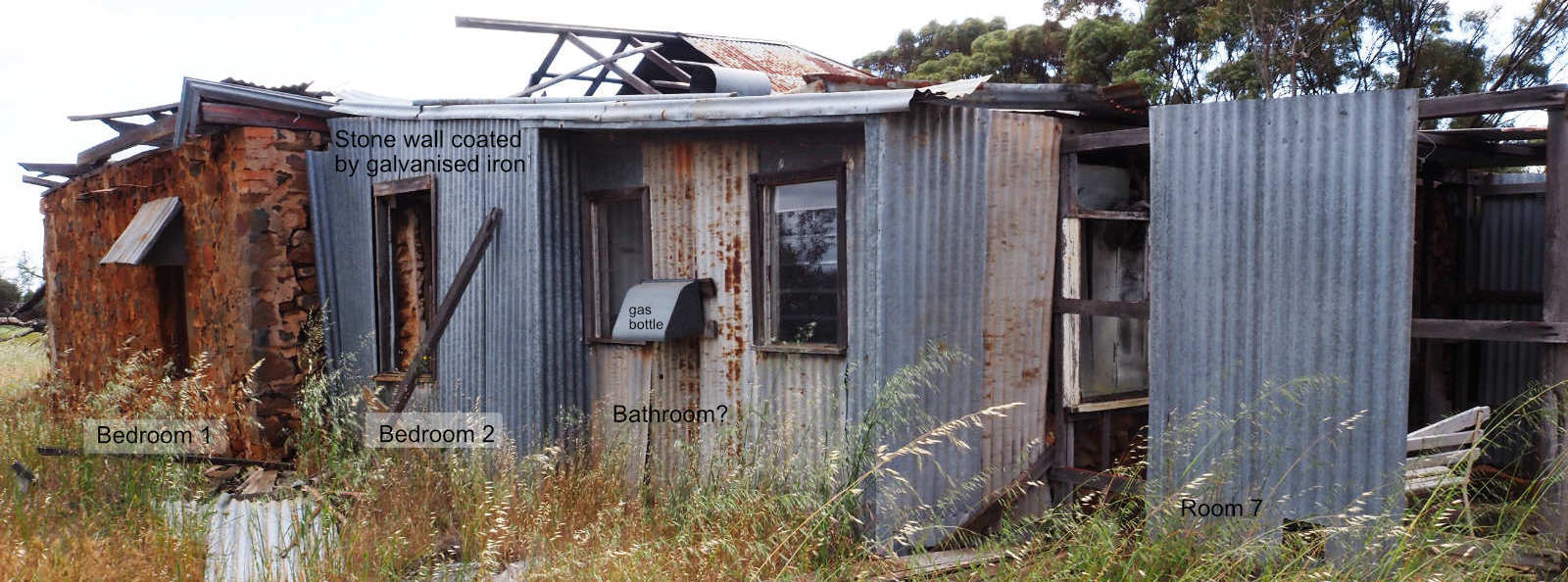
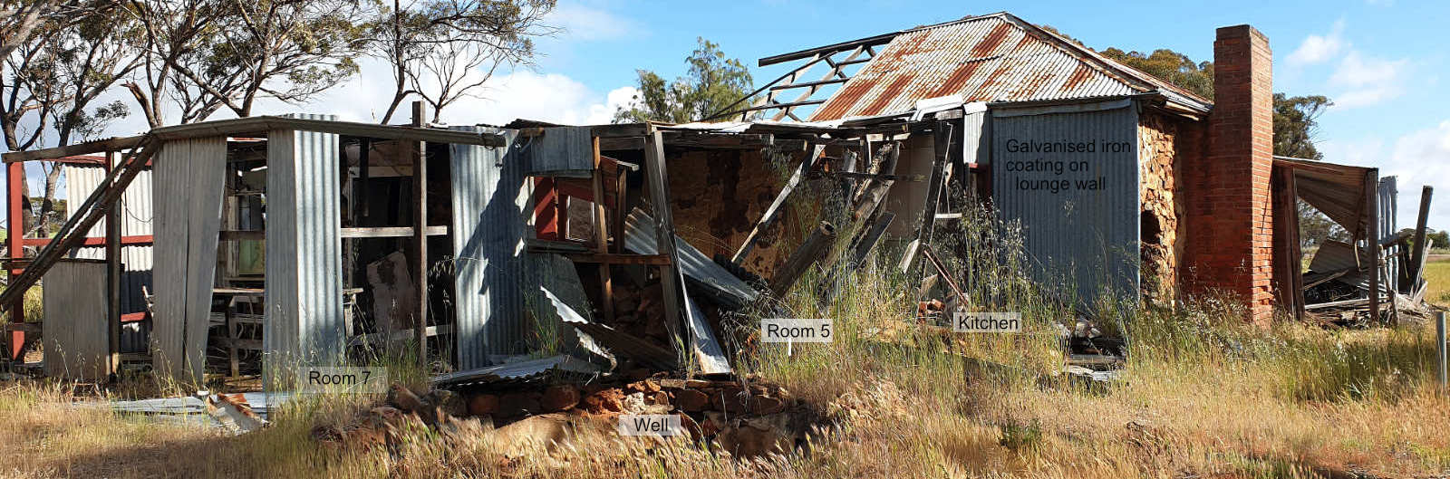
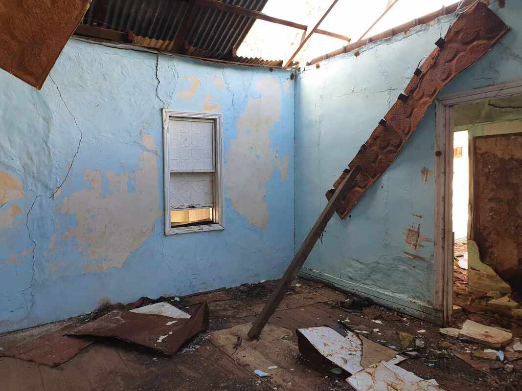
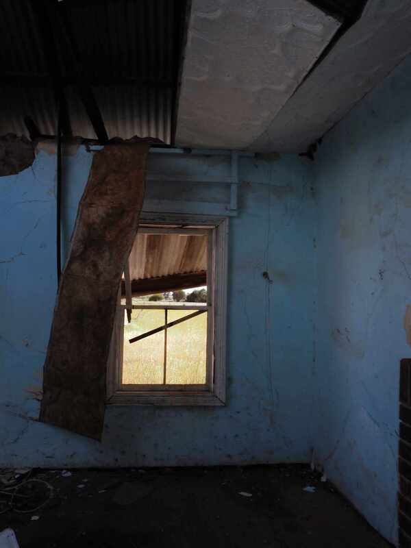
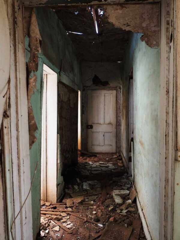
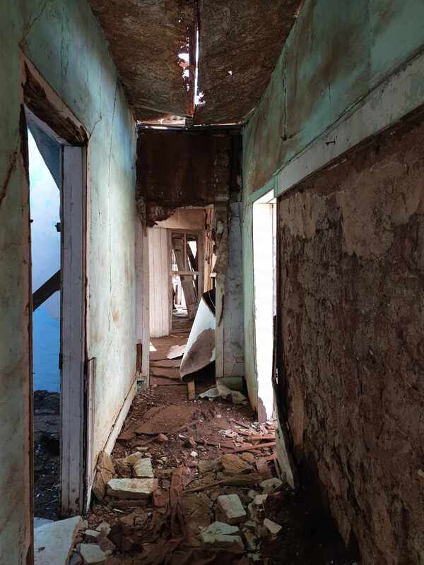
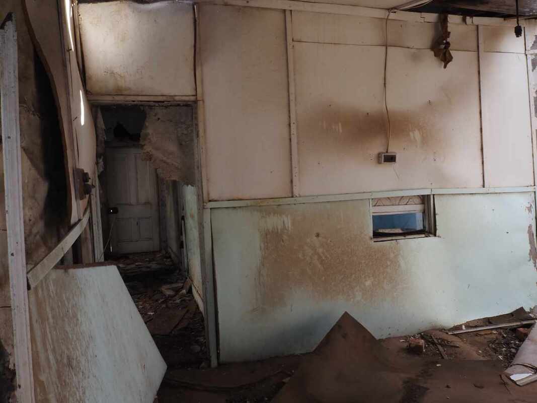
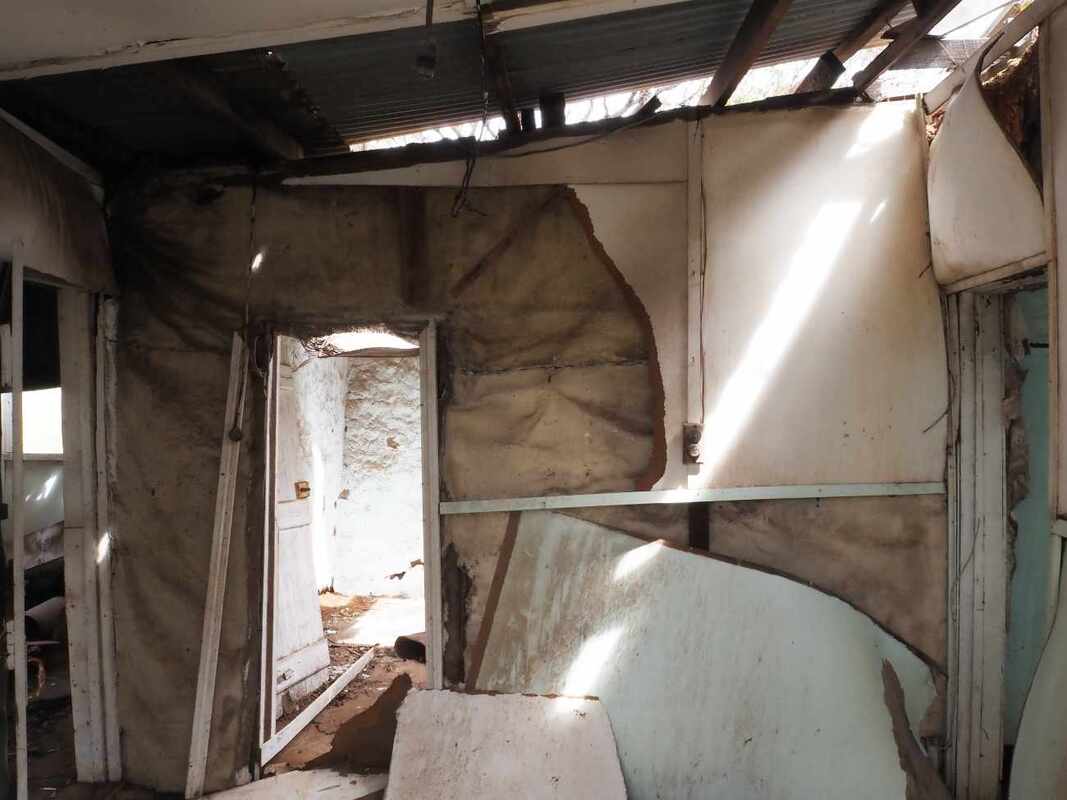
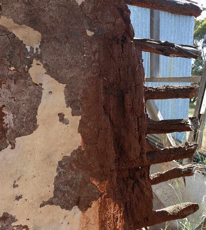
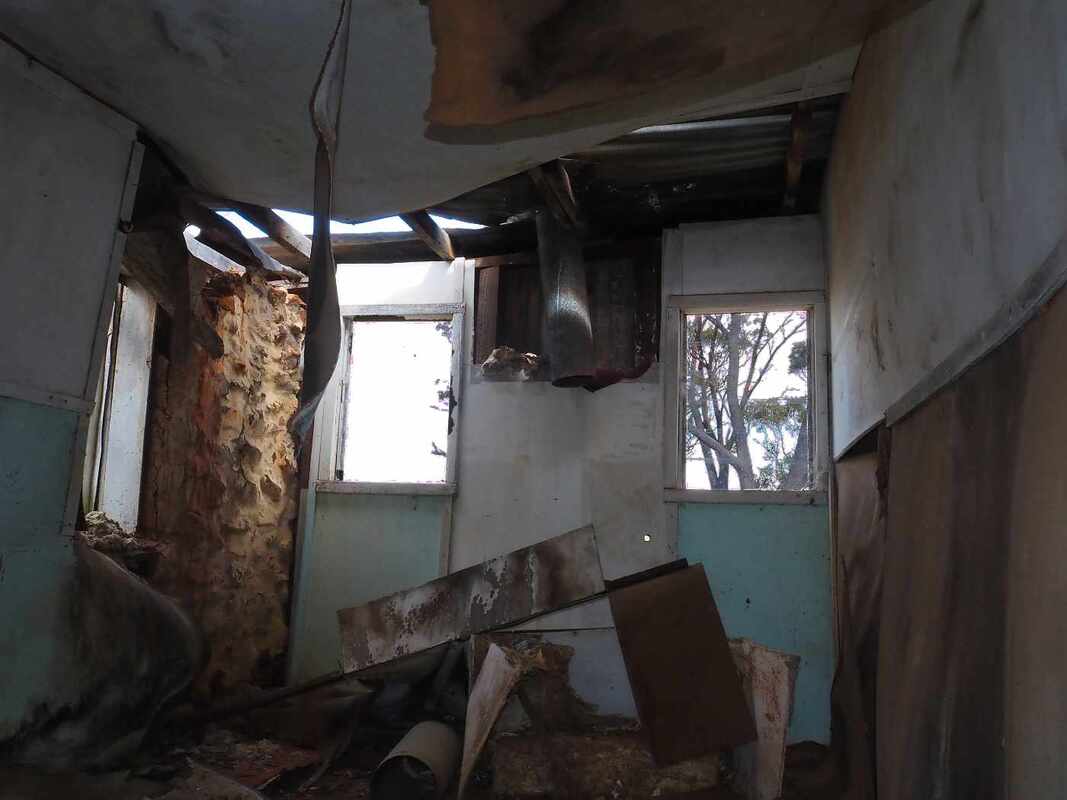
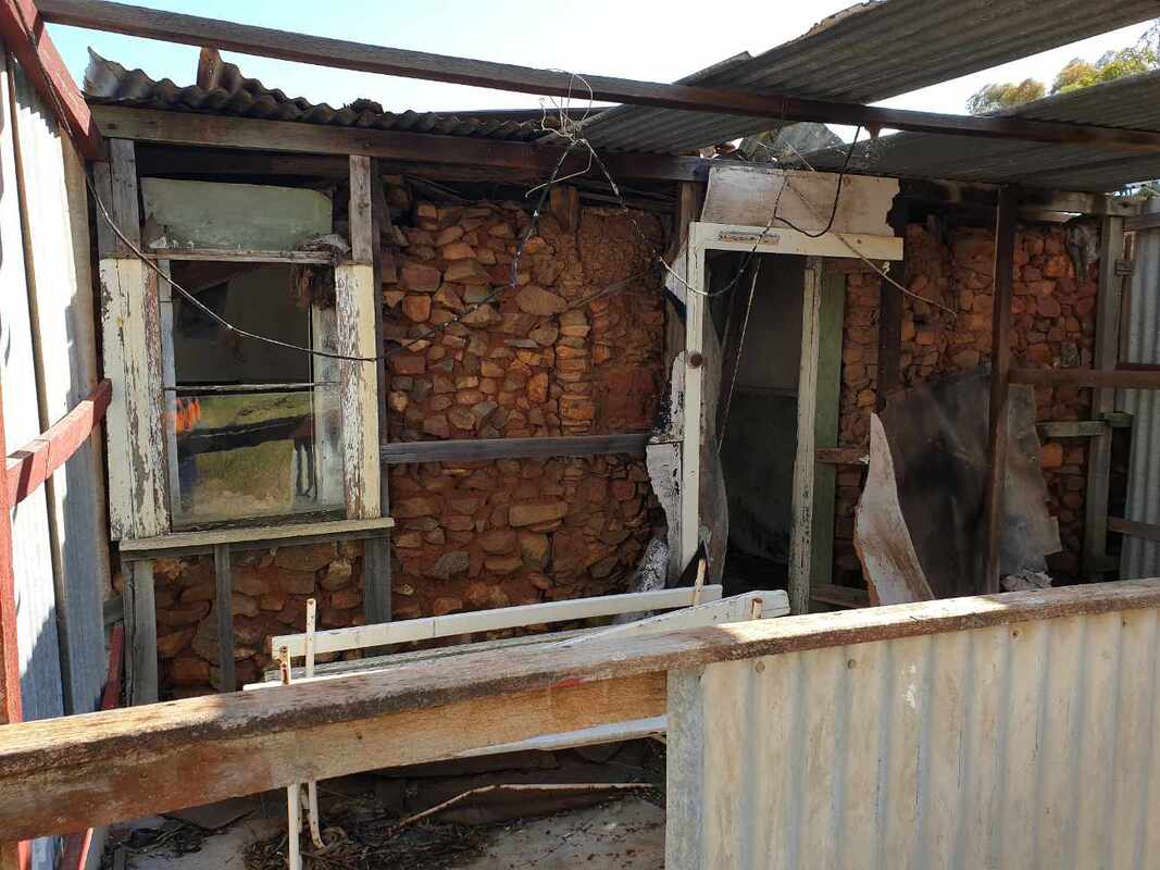
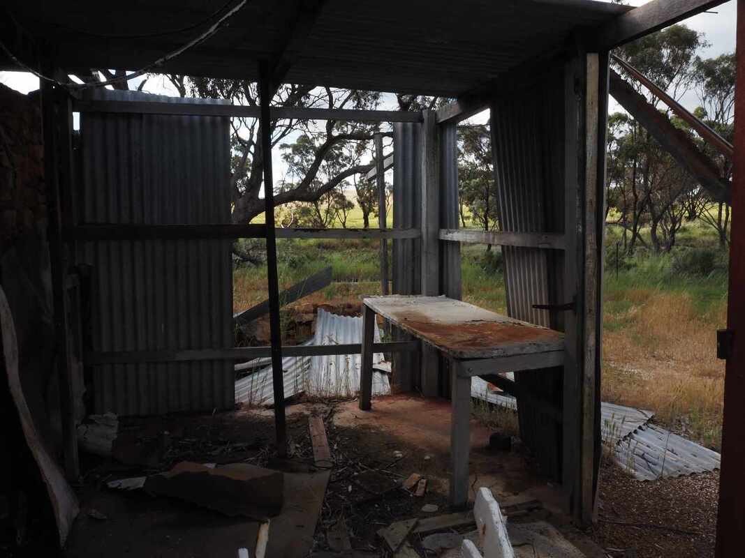
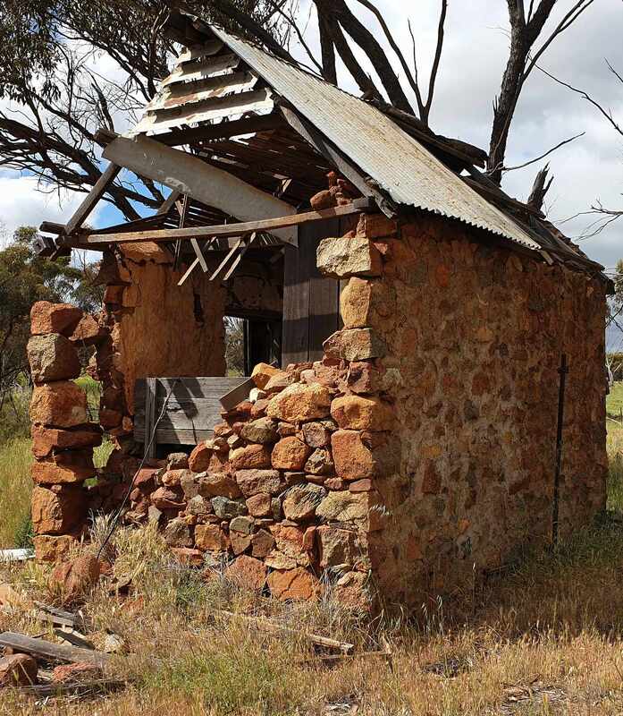
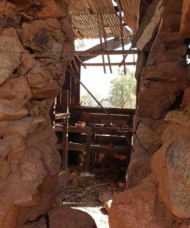
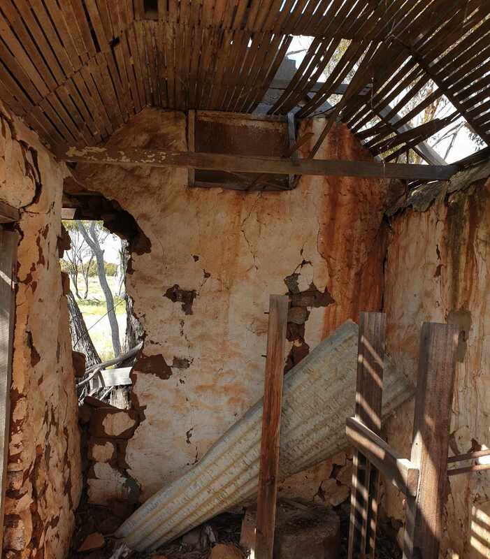
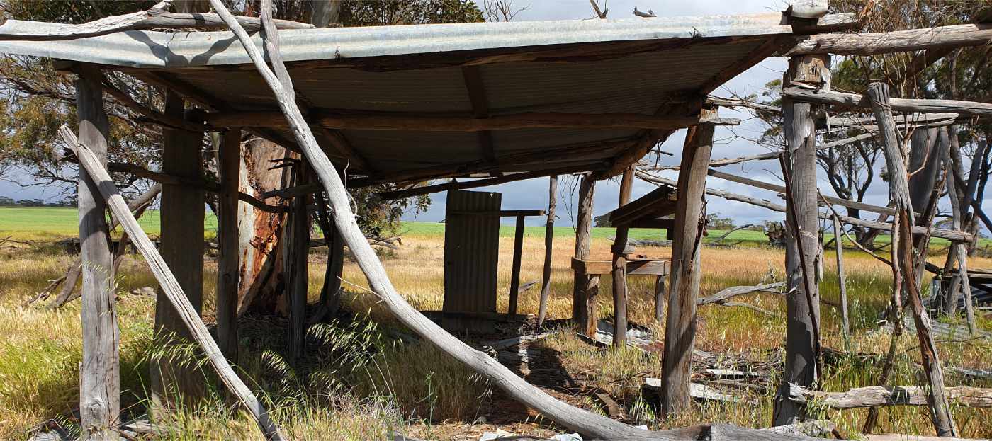
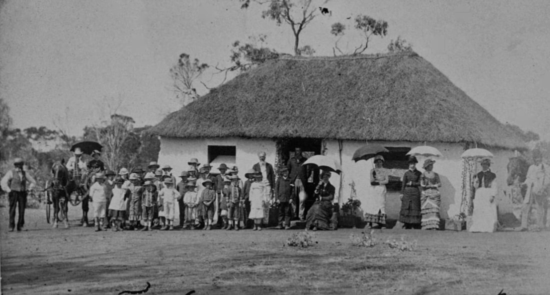
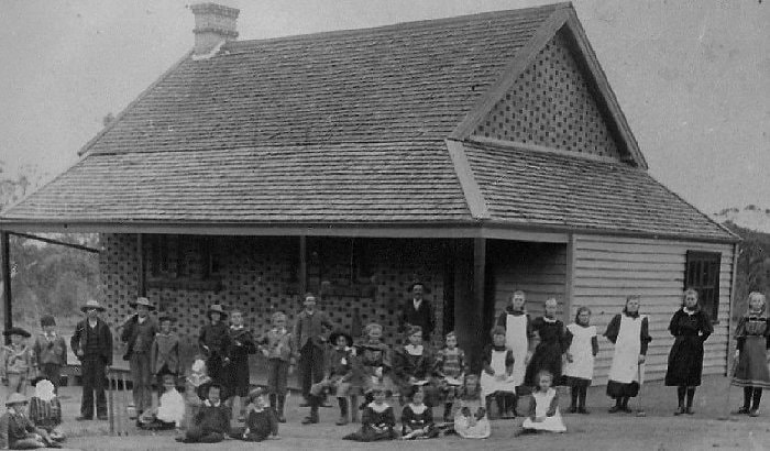
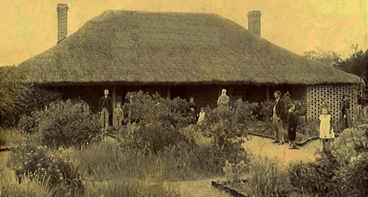
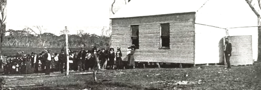
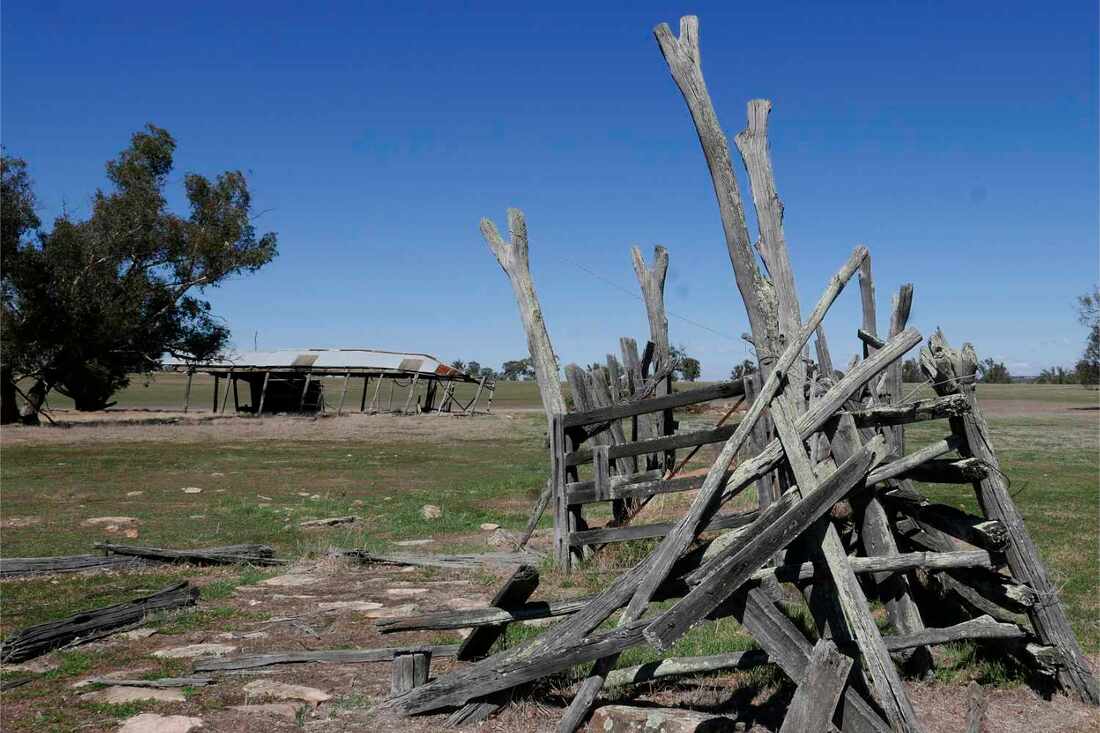
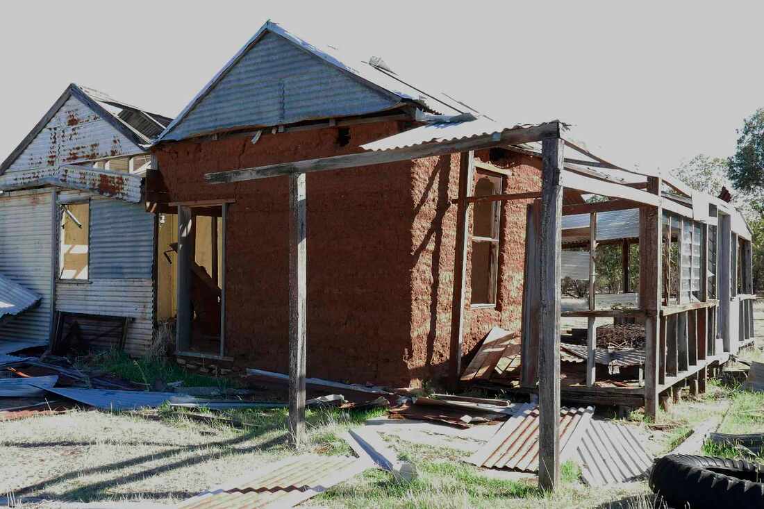
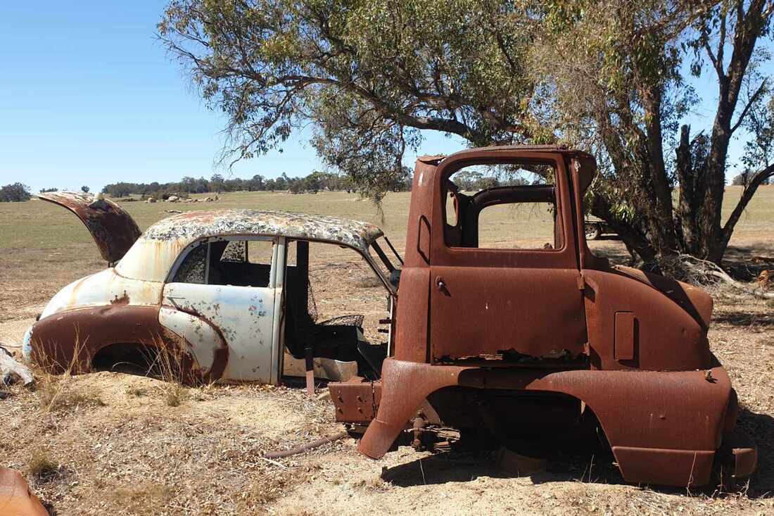
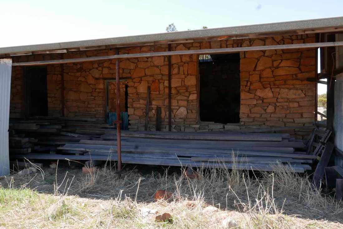
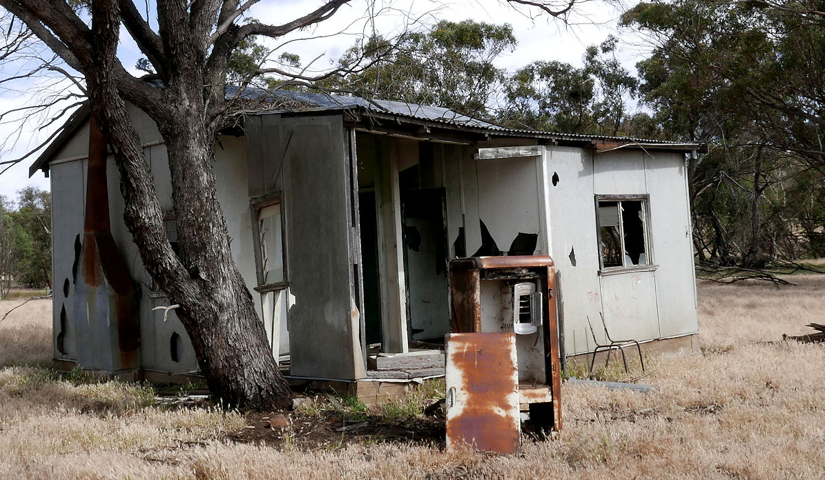
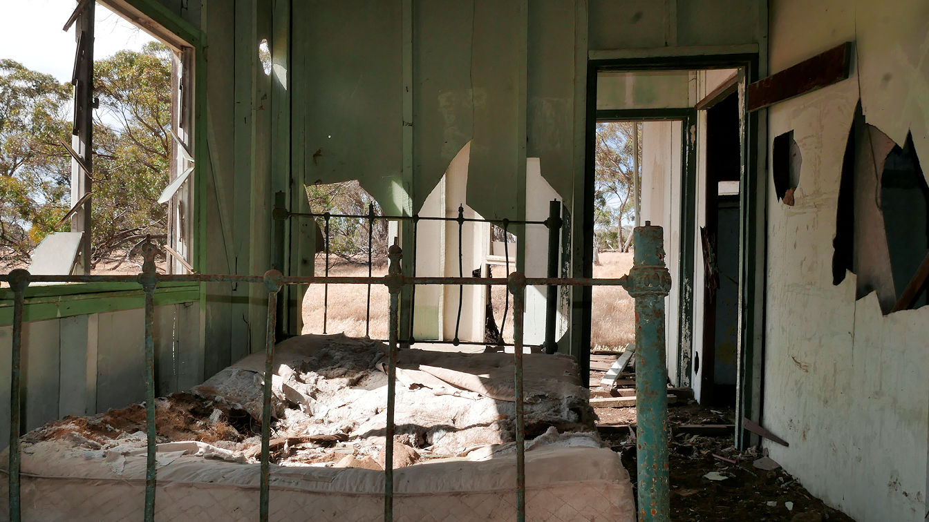
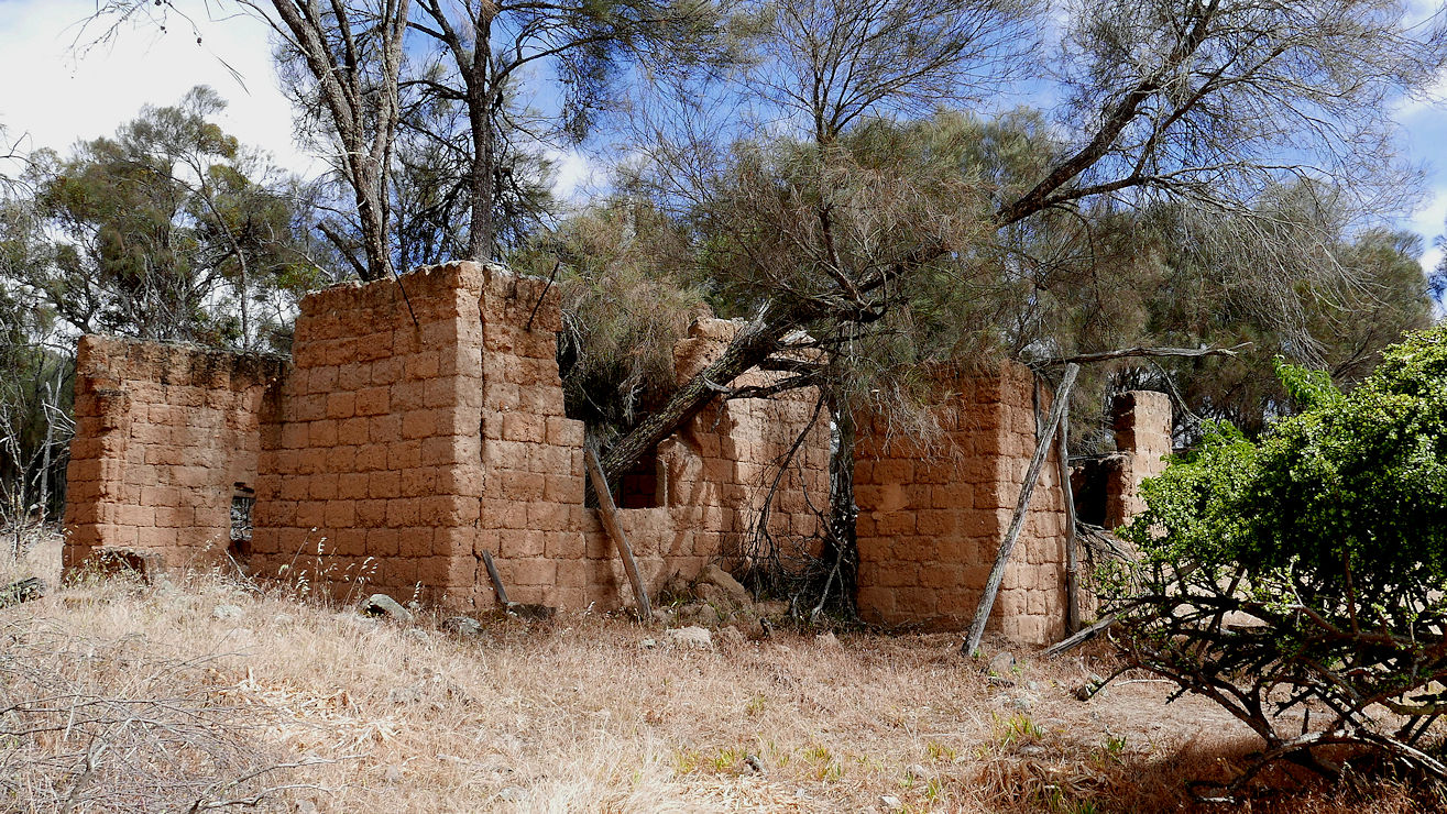
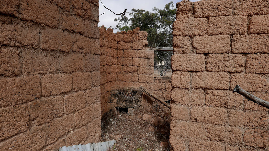
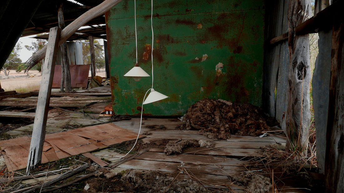
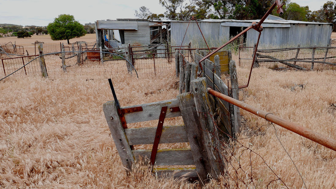
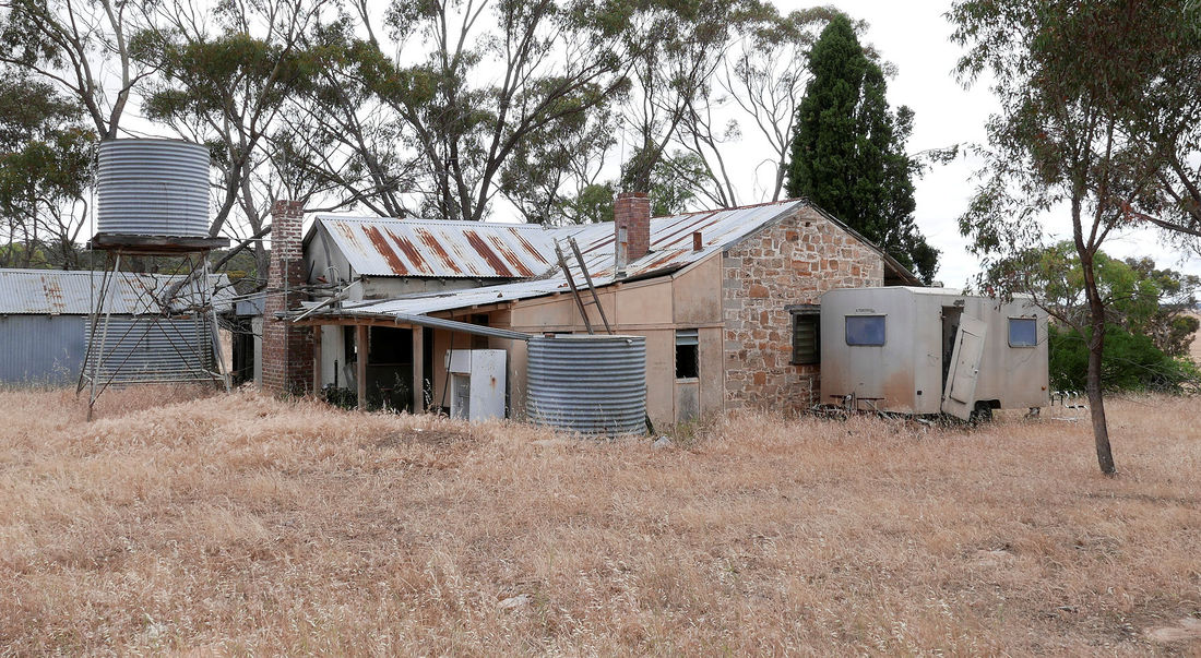
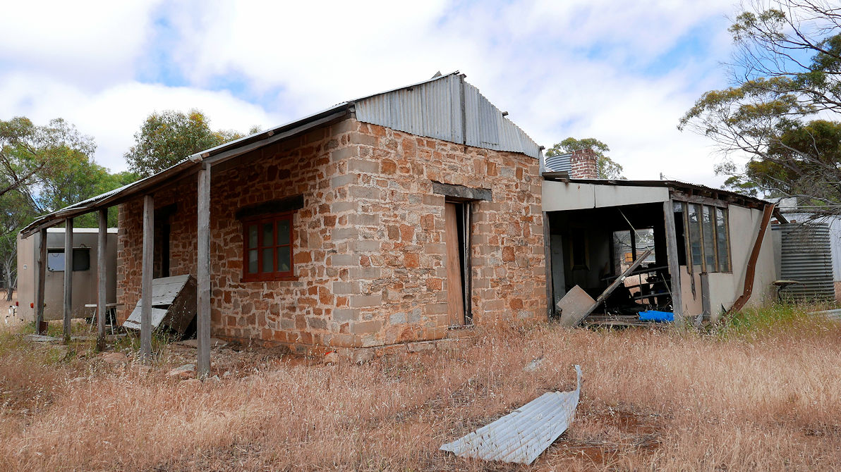
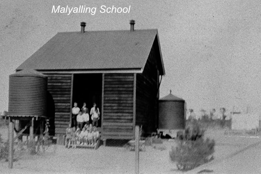 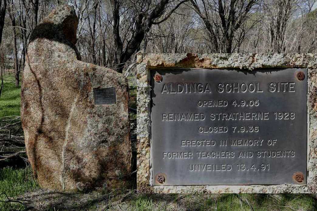 | 5 Aldinga Farm and School 7km from Gillimanning John and Margaret McBurney travelled across from Aldinga South Australia to establish this farm in 1902. For a while they also ran a store here, and Mrs McBurney became the Stratherne exchange operator when telephones were connected. The exchange was on a single phone line, where she would notify the recipient of the phone call by a particular number of rings. There was no phone privacy in those days. The house you see was built over the original one. Aldinga (later Stratherne) School started in 1905. Like most wheatbelt single teacher schools, nothing remains of the building. Building materials were expensive then, so most schools like the one shown were recycled or carted to another site. |
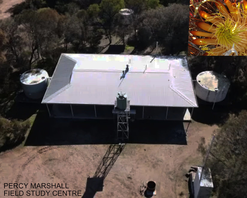
| 6 Tutanning Nature Reserve (optional) 7km from Aldinga, 23km from Pingelly to Percy Marshall Road. This 5km gravel road leads to the Percy Marshall Field Study Centre. If you want a break from history, drop in for a walk in this pristine reserve, which has an amazing 750 species of native plants, or stay in camp style accommodation at the field study centre. Best in winter/spring. Camping and animals are not permitted, and the road is too narrow for large vehicles.
|  | ||
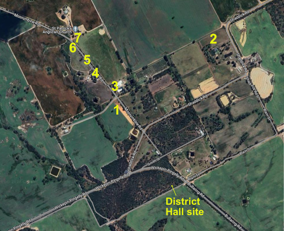
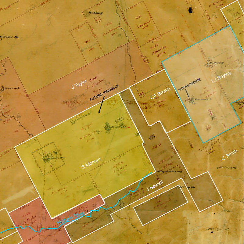
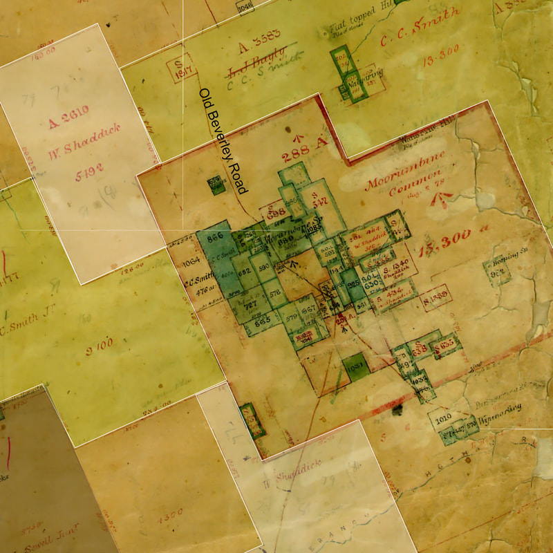
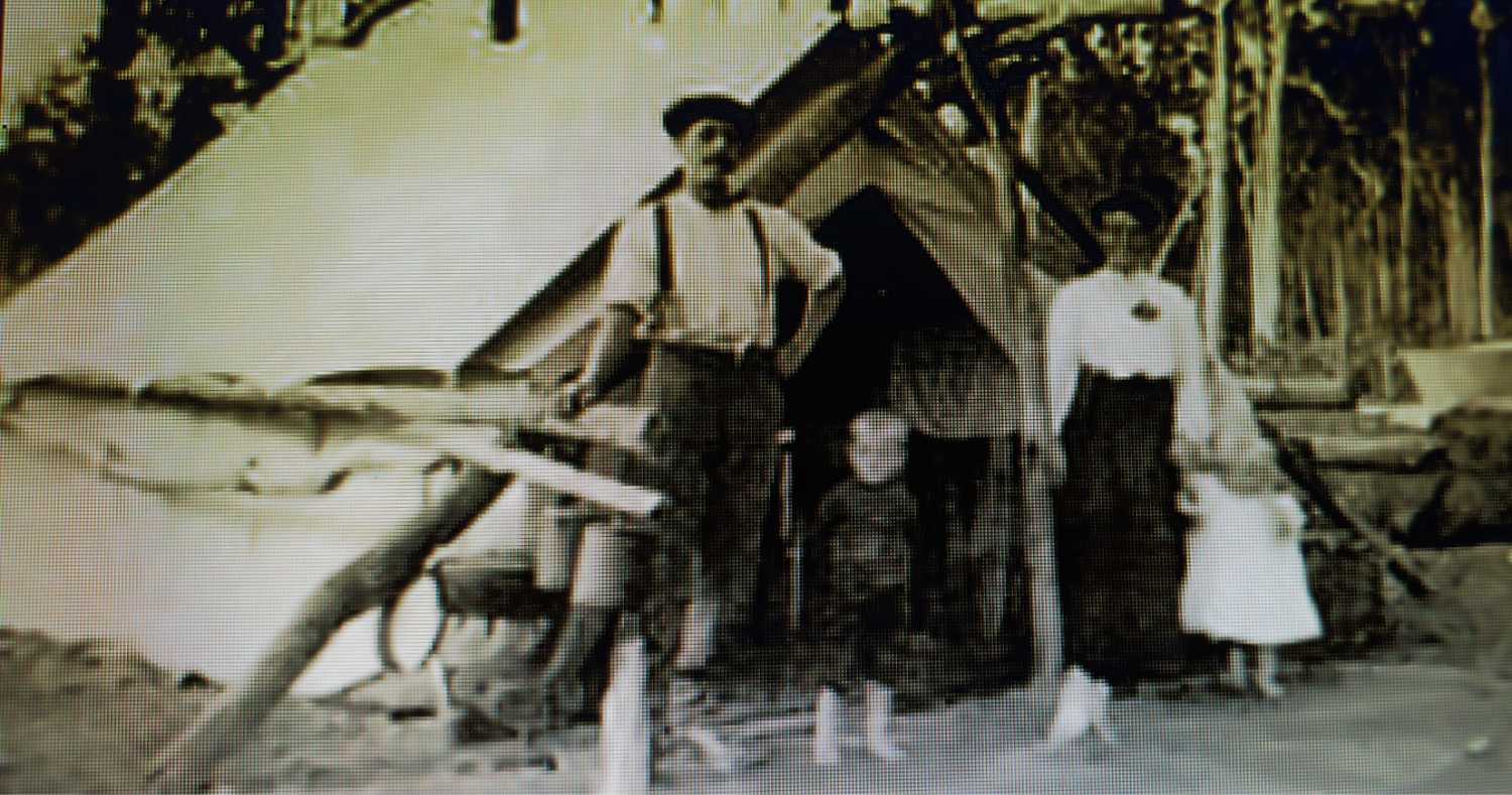
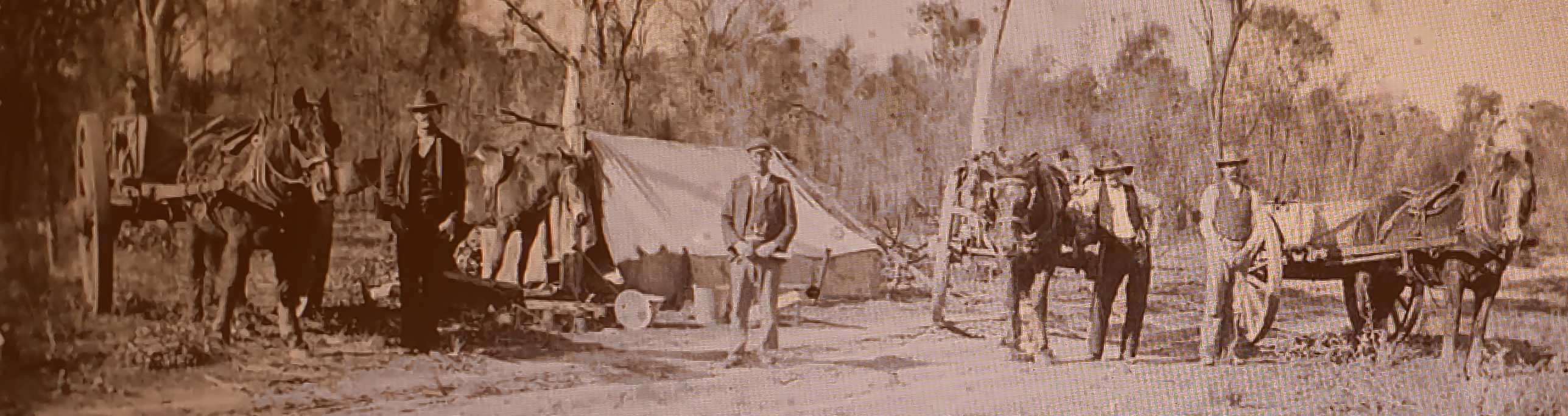
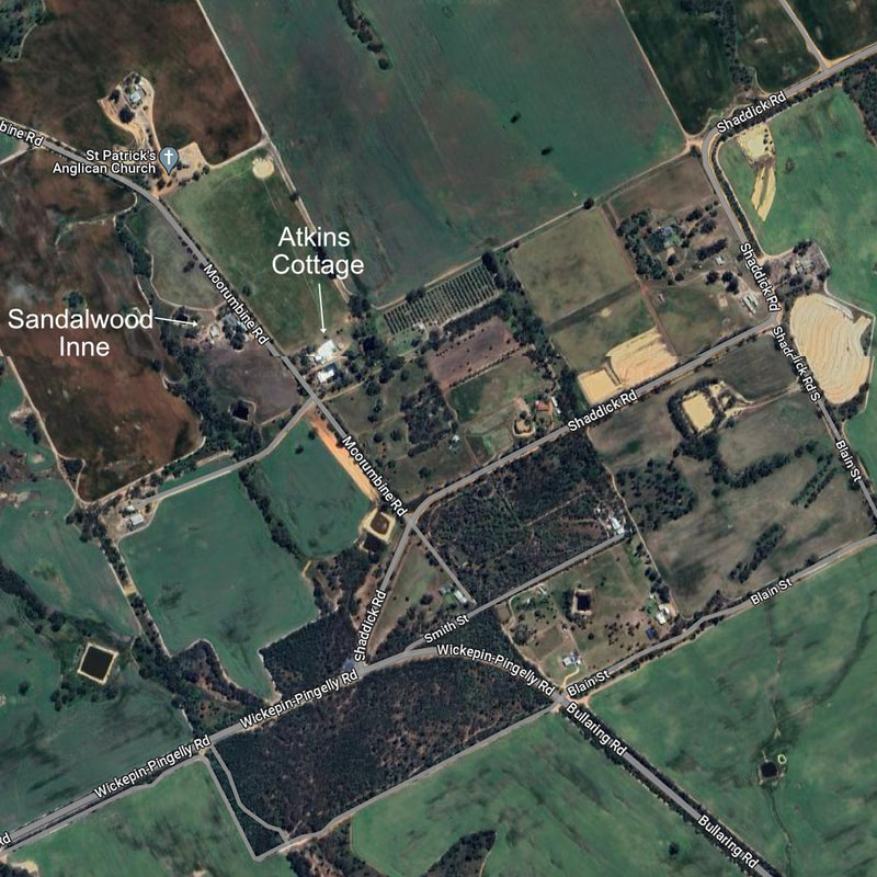
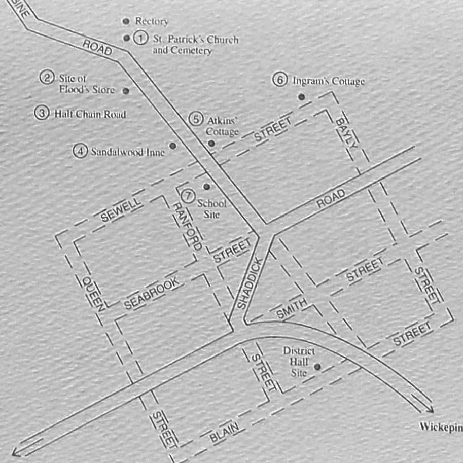
 | 7 Moorumbine Heritage Trail 15km from Percy Marshall Road, 10km from Pingelly. This is a short drive trail, which features historic locations in the Moorumbine town site. There are seven stops with information panels, which are all on Moorumbine Road. |
| 8 Pingelly 10km from Moorumbine Pingelly was born as a railway town in 1898, and expanded into a pleasant district centre. Download the brochure from this web page, or collect one from Pingelly Information Centre and Craft Shop. Boyagin Rock has a moderately difficult walk to a panoramic view in a Noongar culturally significant area. 27km from Pingelly (10km gravel road)
|  | ||||
 | 9 Popanyinning 17km from Pingelly Popanyinning was originally named Popaning, which means 'waterhole' in Noongar language. in 1906 there were 72 people in the district with several shops,and the railway station for residents and farmers. Take a break to do the heritage trail, and the wildflower walk trail in the growing season.
| ||
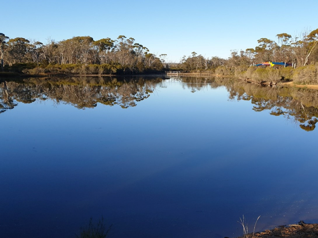
| 10 Yornaning Dam 11km from Popanyinning Yornaning dam is a historic railway dam, and a great birdwatching, wildflower and picnic spot. With picnic tables, gas BBQ and playground beside the scenic dam, this is a great spot for a picnic for most of the year. This is an excellent place for easy bushwalking, bird watching, cycling and winter/spring wildflowers.
|  | ||
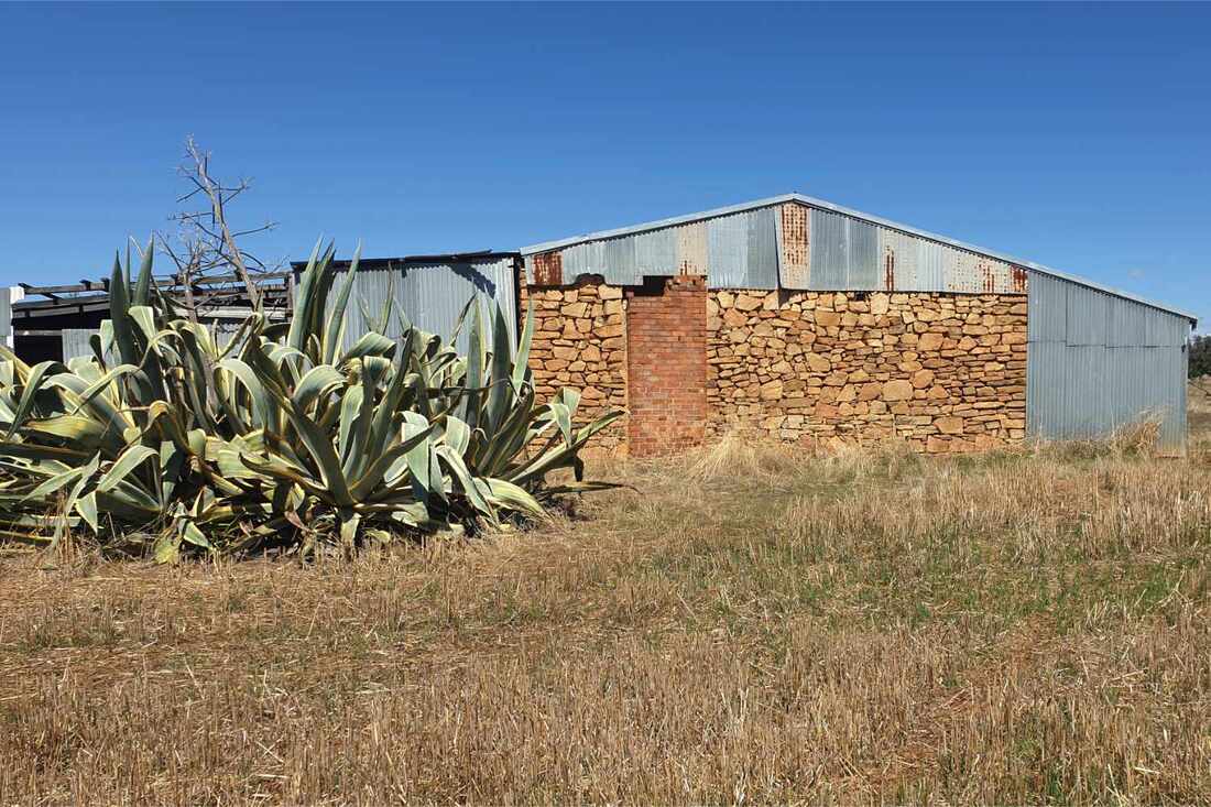
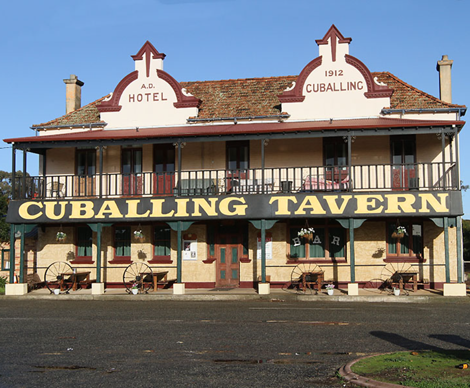 | 11 Cuballing 9 km from Yornaning Dam 13km from Narrogin The fine buildings, which seem out of place in this small township arose from anticipation that Cuballing would be a junction for a railway from the Collie coalfield to the Goldfields. Alas, adjoining Narrogin was selected, and Cuballing declined. The Cuballing Heritage Trail is in preparation: watch this space: |