Borgey Block is a Dryandra Highbury block managed by DBCA Parks and Wildlife. The southern half was once a conservation reserve. The northern half was a forestry block which provided timber for the Williams sawmill. The name Borgey comes from an English immigrant’s pronunciation of ‘boggy’ 😊. I reflected on this as I dug my ute out 3 times.
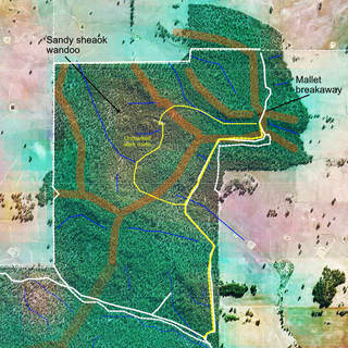
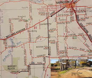
Borgey block is about 30kms southwest of Narrogin on Sargeant Road (an unlabelled dead end-road) that straddles the Williams/Narrogin shire boundary. From Narrogin the first 18km is sealed road to the Tarwonga/ West Highbury Road intersection. The next 12kms is well maintained gravel road. There is no Sargeant Road sign. Go right as shown on the map.
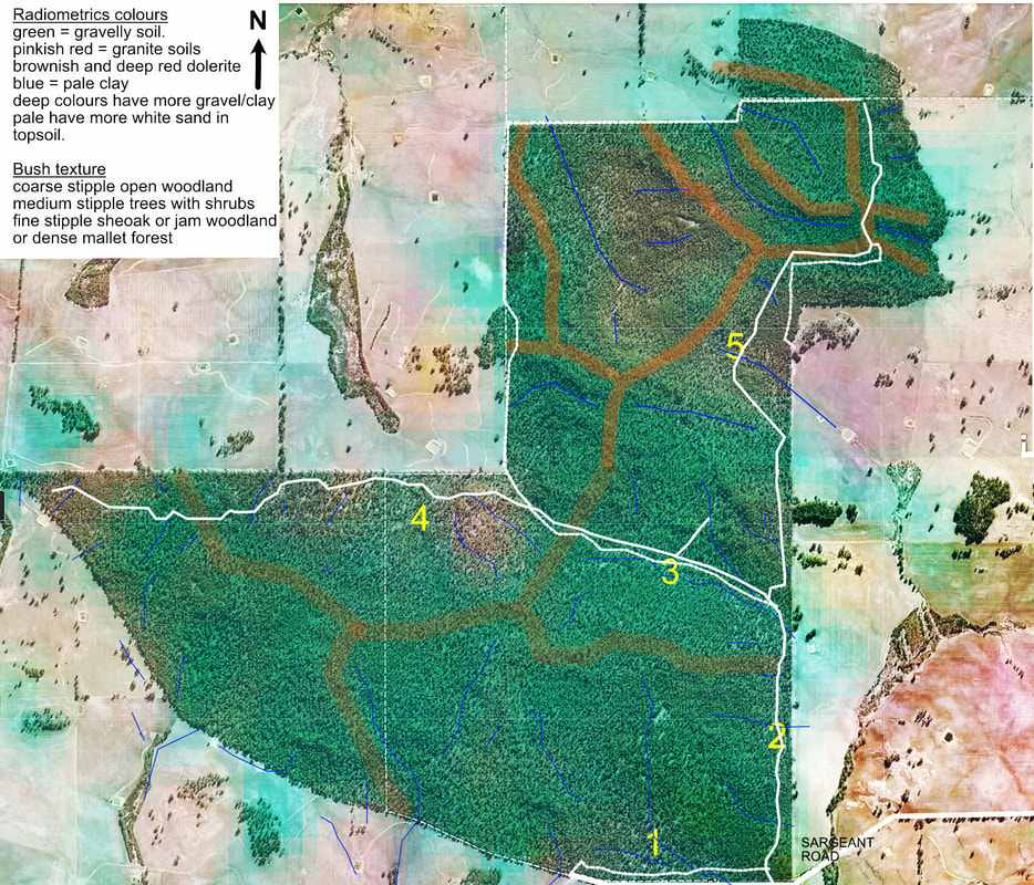
On Telstra network I can use Google maps for direction finding in the reserve.
Borgey block is a gem for bushwalkers, wildflower enthusiasts and bird watchers, but there are no facilities and internal roads are rarely maintained. It is a great place to explore with a mountain bike.
Visitors in buses, RV’s and meticulous car owners should remain on Sargeant Road. Carefully driven cars can navigate most main access tracks but may encounter fallen branches. Some fire access tracks, and the reserve boundary can be very rough, blocked or boggy in places.
Like other Dryandra Highbury blocks, the landscape is more variable than Dryandra Woodland, with much less mallet and gravel country, and no powderbark trees. Geological erosion has stripped away more of the laterite cover, so soils are more variable and better reflect the underlying granitic basement rock. As a result, there is a much open bushwalking country with frequent changes of wildflowers and trees;
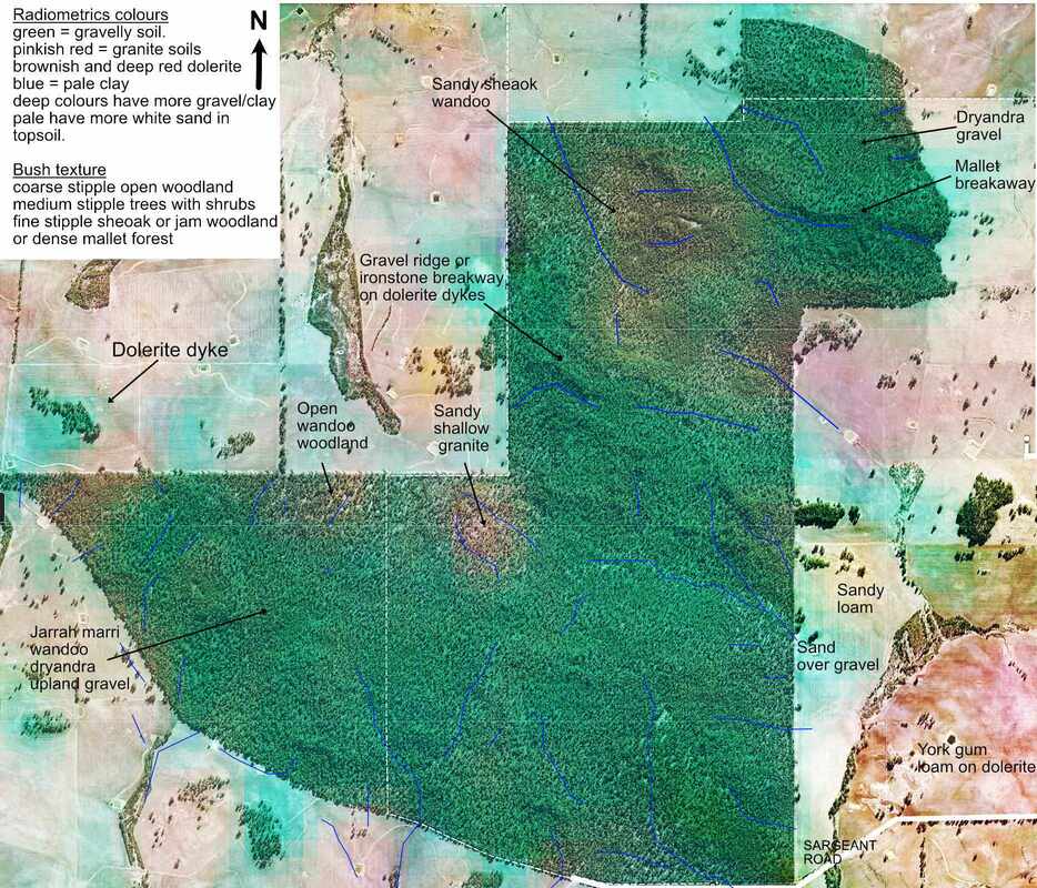
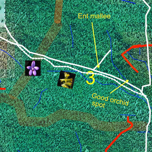
The aerial photo with a radiometrics overlay helps show soil and rock types.
This and waterways show a general northwest/southeast trend in the grain of the underlying granite, and intruding dolerite dykes. The dykes often show as ironstone ridges and breakaways covered in brown mallet and gravelly woodland.
Paler shades and pinkish colours show sandier and shallow bedrock areas that are often orchid and everlasting hotspots. .
Sites 1 to 4 can be reached with most cars, or mountain bikes and are well worth visiting. It is about an 8km easy return walk from the track entrance at Sargeant Road to site 4 and return. Do not attempt to to drive down the fire access track parallel to Sargeant Road as it can be very boggy. I got stuck there for an hour August 2021.
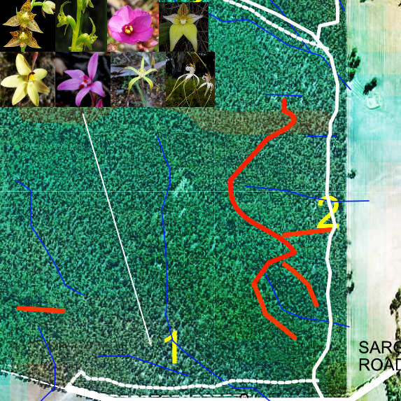
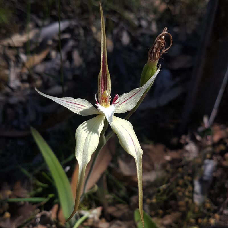
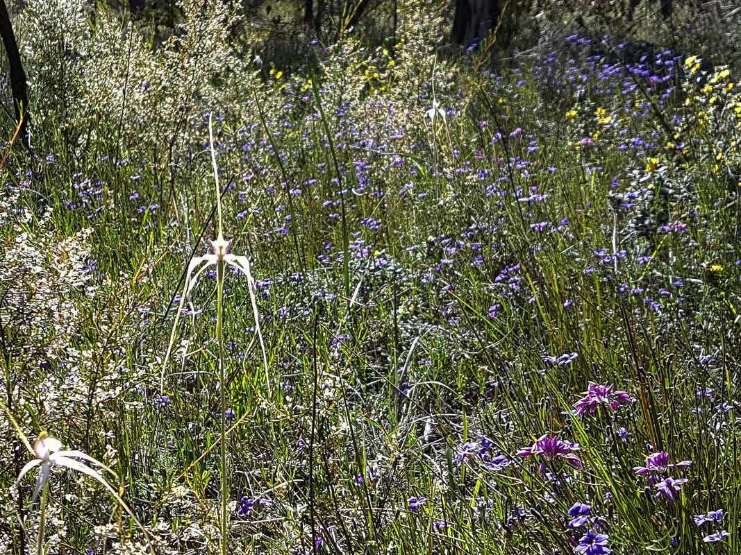
Site 1 is a fabulous wildflower spot. It is a broad sandy winter-wet valley that is a carpet of stark white spider and cowslip orchids in September, with sundews and other orchids. I even found a few rare shy spider orchids and in October, bee orchids and leopard orchids in the waterway itself. Upslope to the north the bush changes to open marri/wandoo/ dryandra woodland and to two isolated Nuytsia floribunda trees.
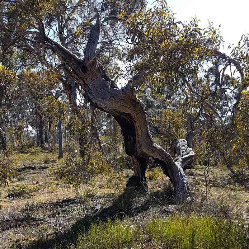
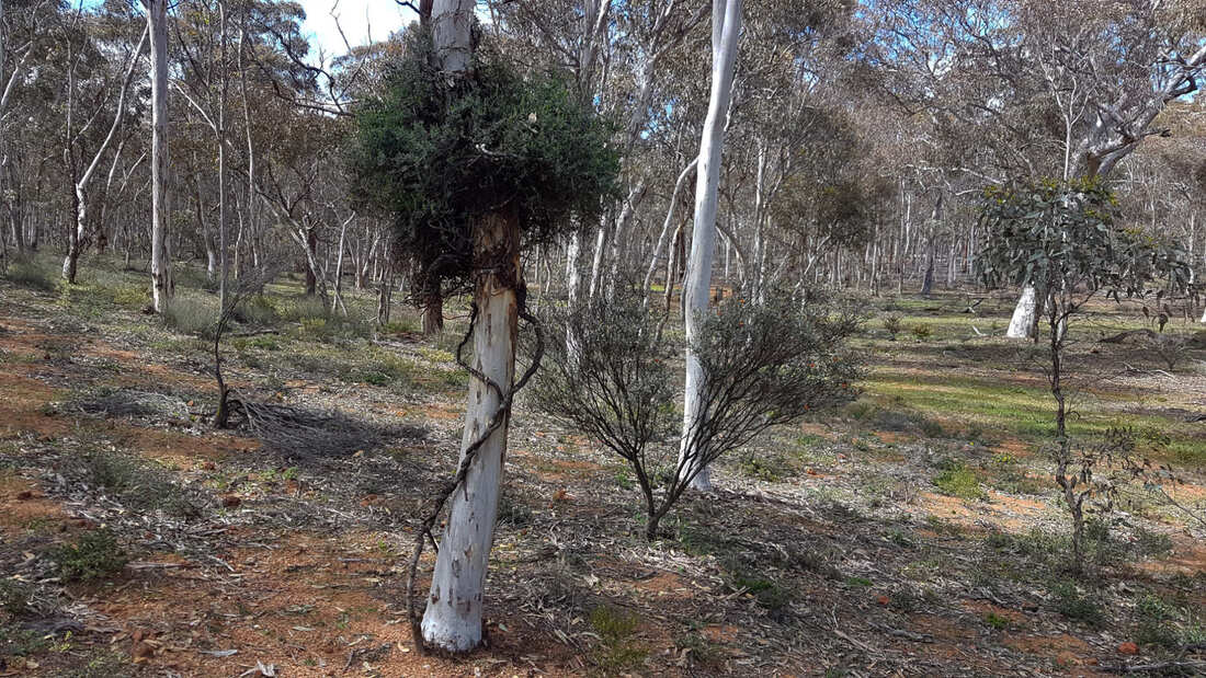
From here the road forks left up a rough gravel track to site 5, and right up an eroded valley road (Site3), which is suitable for carefully driven cars. Site 3 is a 1km sandy gravel to gravel valley between steep doleritic gravel rises on the northern side, and a sandy gravel slope on the southern half of the block. The track gradually goes upslope from wildflower-rich loamy gravel and over a dense gravel saddle with large jarrahs and a mass of yellow September-flowering Petrophile serruriae shrubs. There is a parallel sandier fire access trail through good wildflower country that you can use to return (preferably walk as it is rough and has fallen branches). About halfway up the road there is a rough road leading to from the right to a pleasant upland valley. Unfortunately, some people illegally logged jarrah here. They must have got a huge fright when a tree slid down a cut and nearly killed them. At the corner of the two tracks is a most amazing split Drummonds mallee called the Ent Mallee. It is old and very fragile, please do not climb on it.
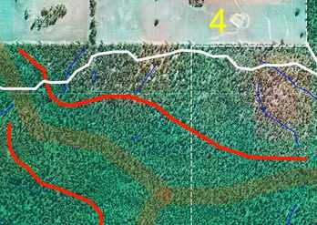
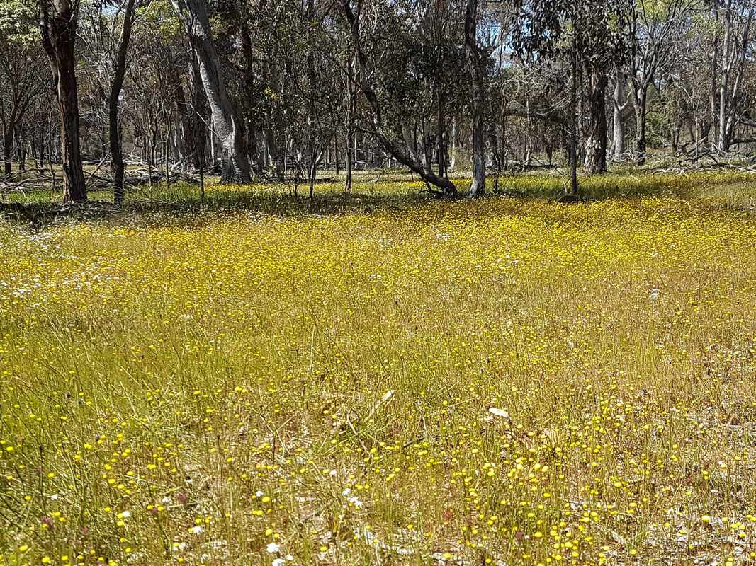
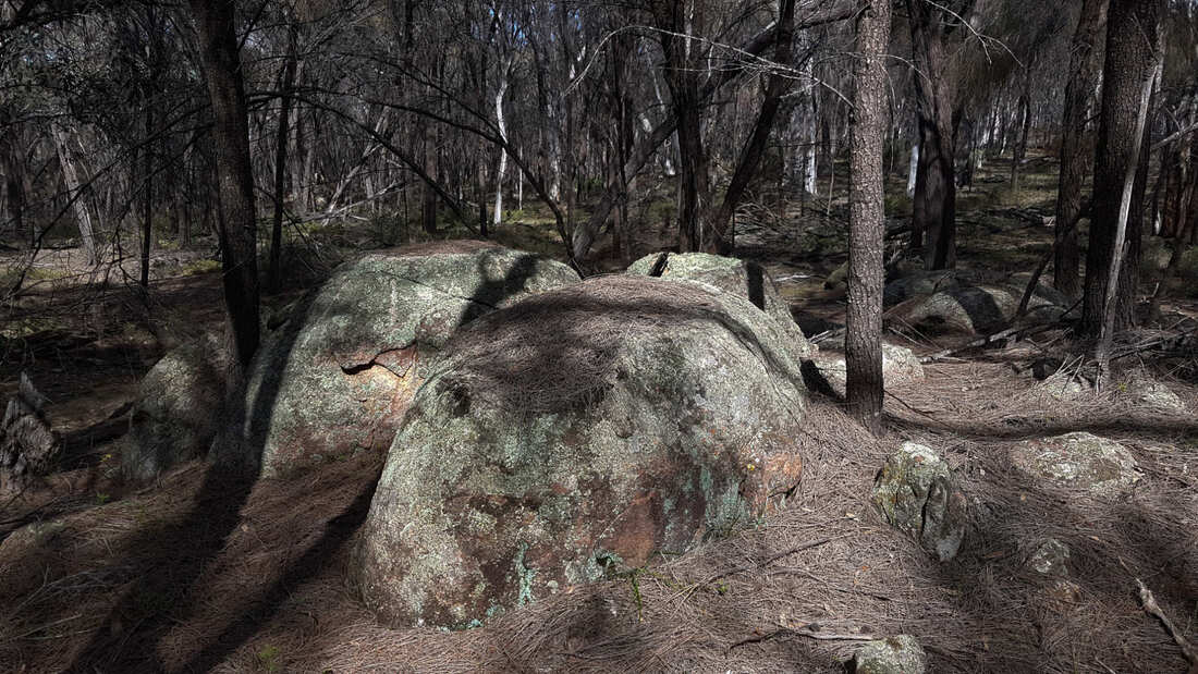
Site 4 is a wonderful area to explore. The almost-level road runs parallel to a breakaway/steep change of slope that reflects a change in the east-west grained granite, with another parallel line of granite outcrops in between. These and the pattern of cracks in rocks will interest budding geologists. The bush is mainly open woodland with frequent changes in wildflower communities the track crosses soil types and slight hollows and rises. It is good orchid country with a wonderful show of everlastings in October. Look for a wandoo that was recently blown apart by lightning.
August 2021: big tree has blocked the road about half way down. I got bogged backing into the bush trying to turn around.
The thinner dotted line marks an unmarked 1.2km loop through valley and slopes of scenic open woodland. I found a lovely clump of white-flowering Melaleuca haplantha there. Only try the loop If you have a good sense of direction and can follow your progress using Google maps. Open wandoo, sheoak thicket, dryandra scrub and mallet breakaways.
The thinner dotted line marks a 1.2km loop through valley and slopes of scenic open woodland. Only try it If you have a good sense of direction and can follow your progress using Google maps.
