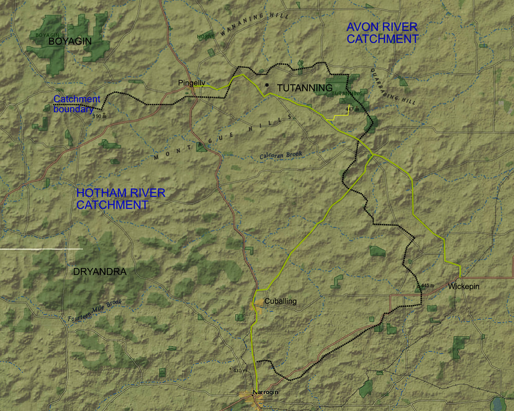
Tutanning Nature Reserve is a 2381 area of remnant vegetation on a broad ridge 25km east of Pingelly. This relatively infrequently visited reserve offers a remarkable and diverse display of flora and fauna for visitors, and short stay camp style accommodation for limited numbers at the Percy Marshall Field Study Centre.
It is a great place to
As this is a class A nature reserve,camping and pets are not permitted.
See this website for more information on accommodation and activities at Tutanning
It is a great place to
- Enjoy the peacefulness and solitude of a secluded area with basic facilities.
- See a wide range of plants, animals and birds.
- Walk the Tutanning walk trail and internal roads
- Go spotlighting for animals on foot or by 4WD vehicle.
- Drive or ride your mountain bike on internal roads. 4WD vehicles with good clearance are strongly recommended when driving in the reserve. Internal roads are narrow and often rough, with some very sandy and rocky sections.
As this is a class A nature reserve,camping and pets are not permitted.
See this website for more information on accommodation and activities at Tutanning
 Relief map of Tutanning Boyagin Dryandra district | 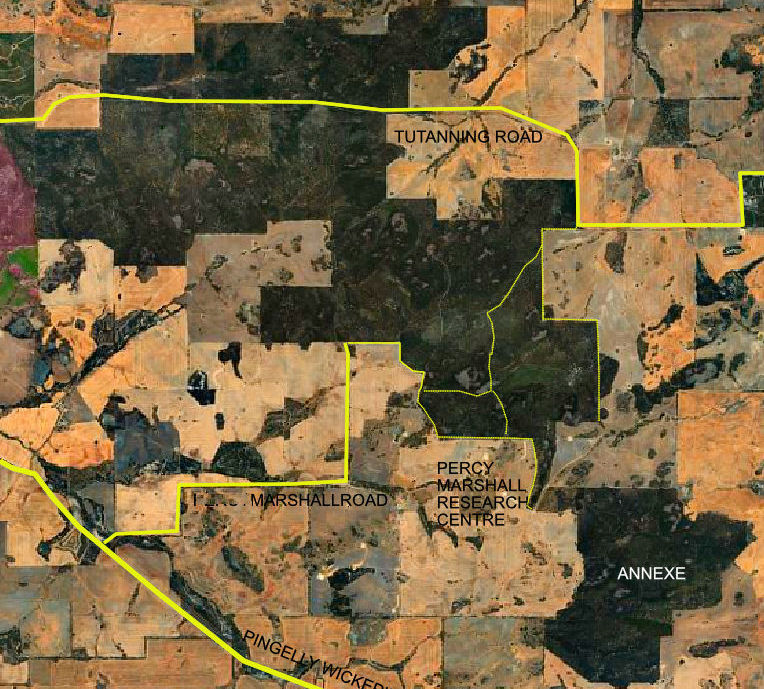 | 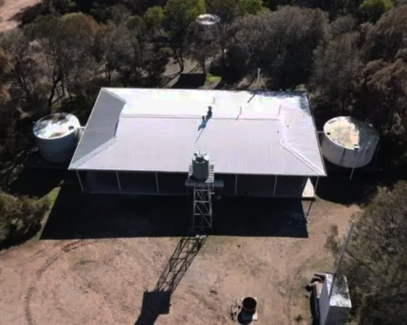 Percy Marshall Field Study Centre |
The reserve is elongated with a very uneven boundary because it is the rocky remnant of a divide between the Avon and Hotham River catchments called the Dutarning Range. Farmers have cleared most surrounding arable land leaving an undulating rocky and gravelly upland. A relatively recent addition is the Annexe, which was purchased and connected to the main block by a narrow corridor. Apart from an impressive grove of Red Morrell trees, the landscape is similar to the main block. There are some winter wet areas so use a 4WD if going there.
This blog describes the southern part of the main block, which is easily accessable from the house and is fairly representative of the reserve.
This blog describes the southern part of the main block, which is easily accessable from the house and is fairly representative of the reserve.
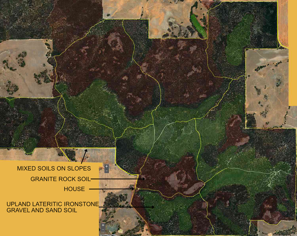 Major soil categories
 Granite basement rock varying in quartz (sand) content, has been intruded by lines (dykes) of dolerite and then cracked by continental movement to create (mainly) southwest-northeast and northwest-southeast patterns. You can see this from river flow directions. About 100 million years ago a lateritic gravel surface formed. In succeeding dry and wet weather cycles the laterite eroded and reformed many times to create an upland with ironstone and gravel ridges and breakaways, kwongan gravelly sand upland bowls and mixed soils on slopes and valleys.
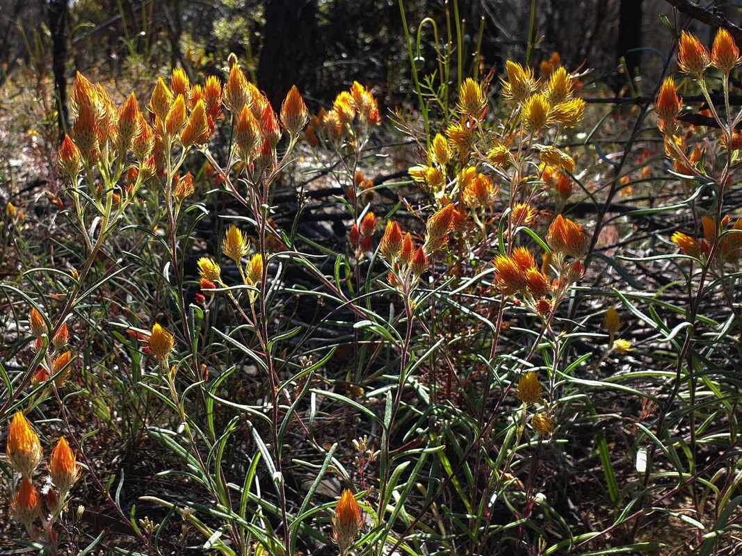
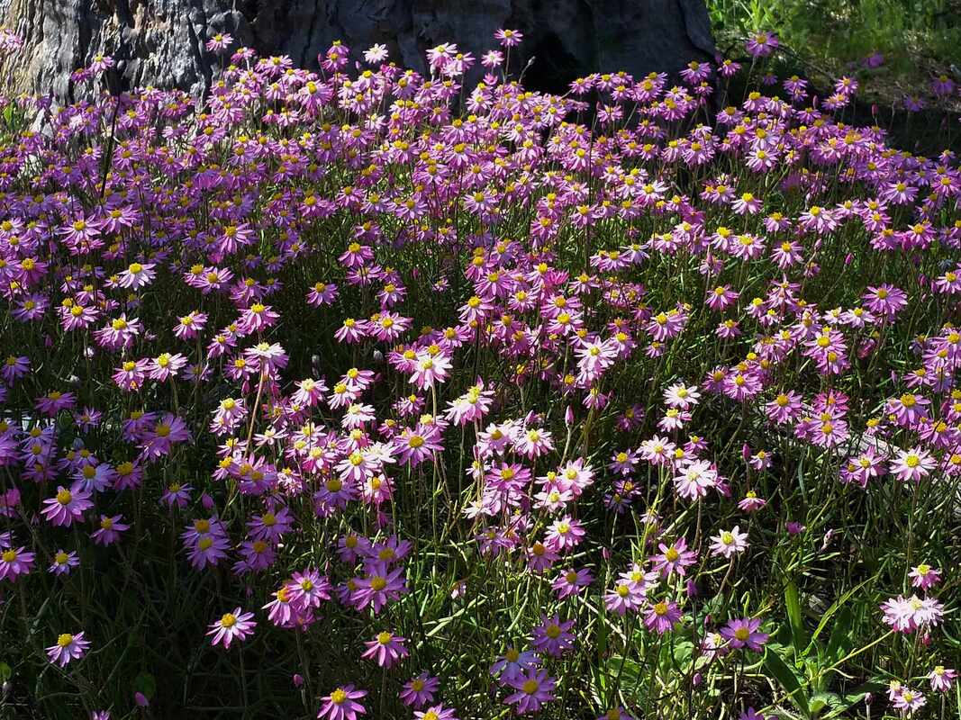
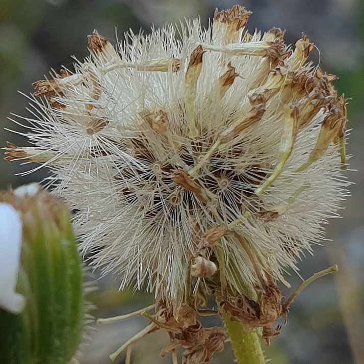
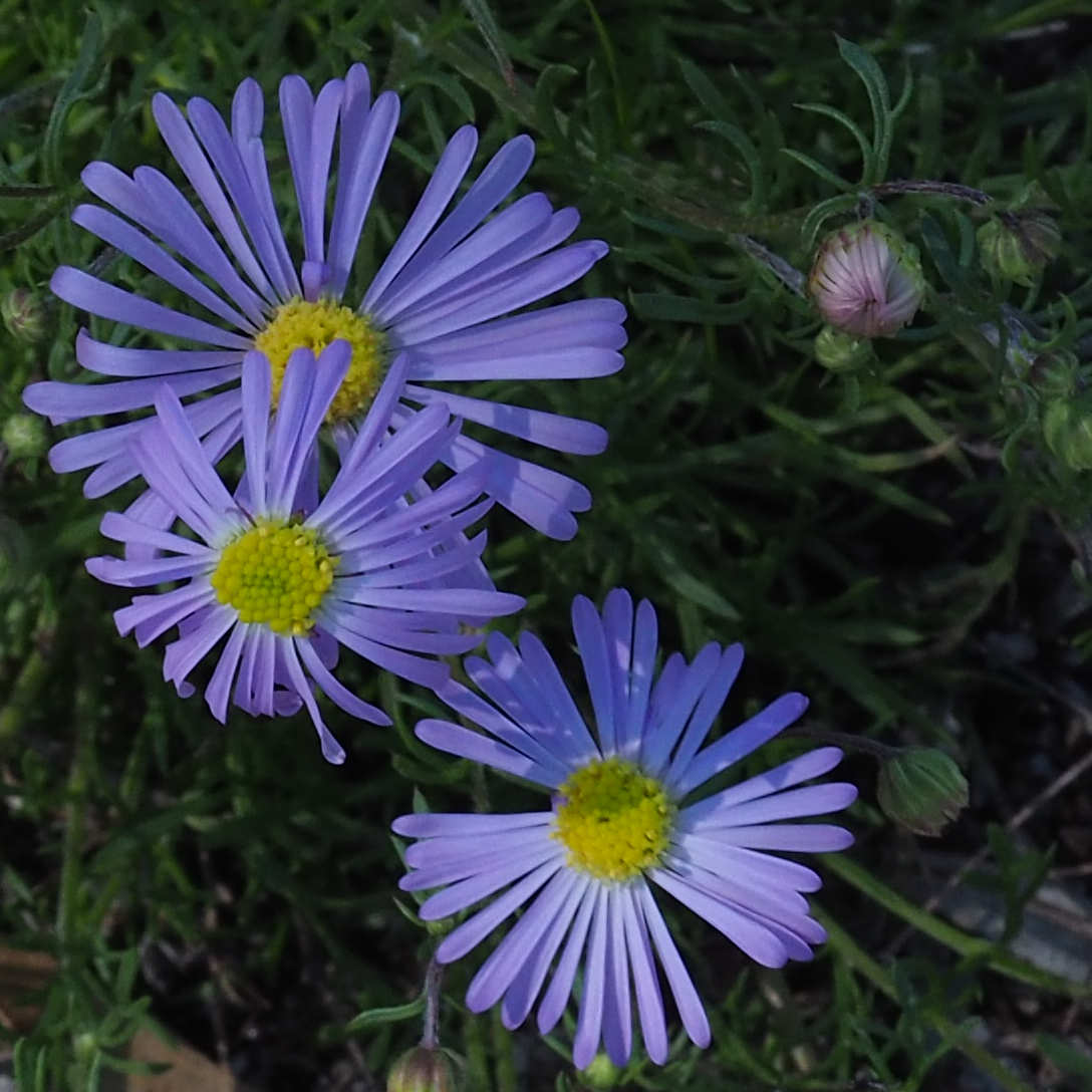
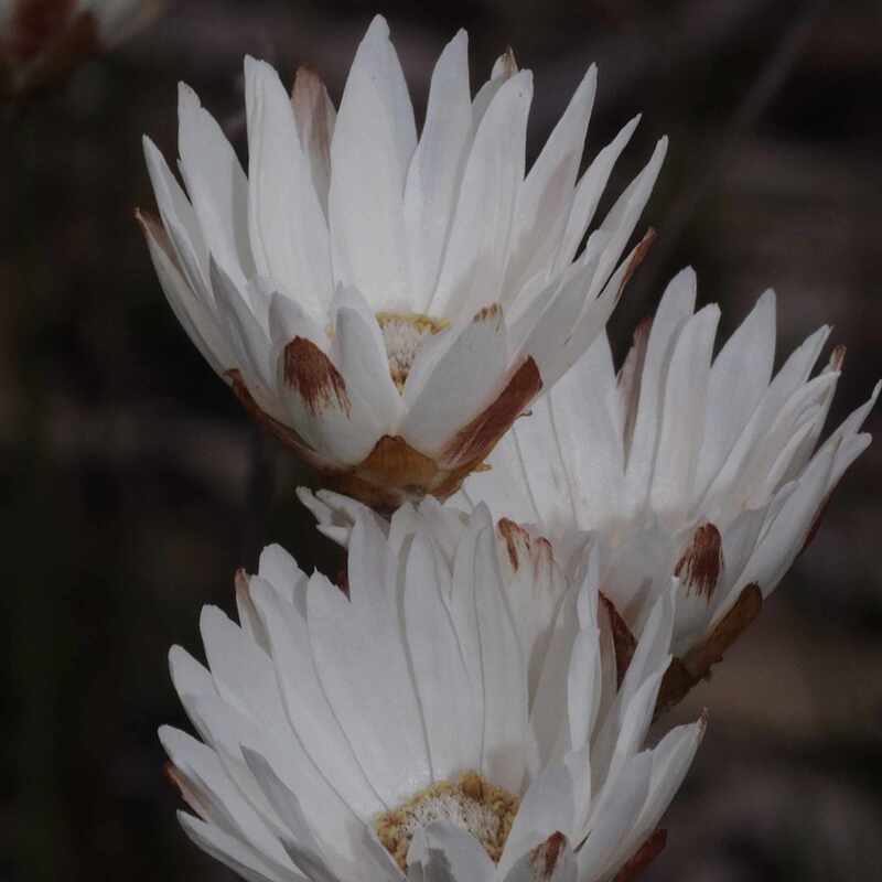
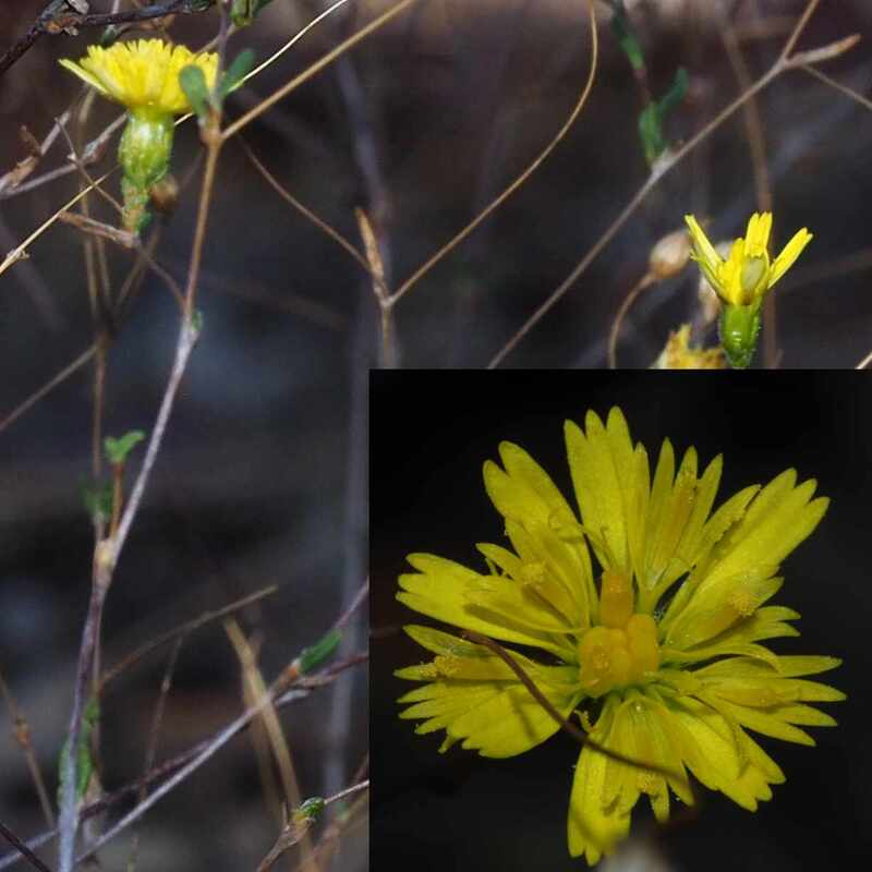
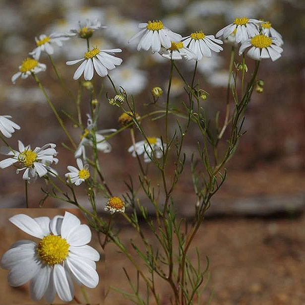
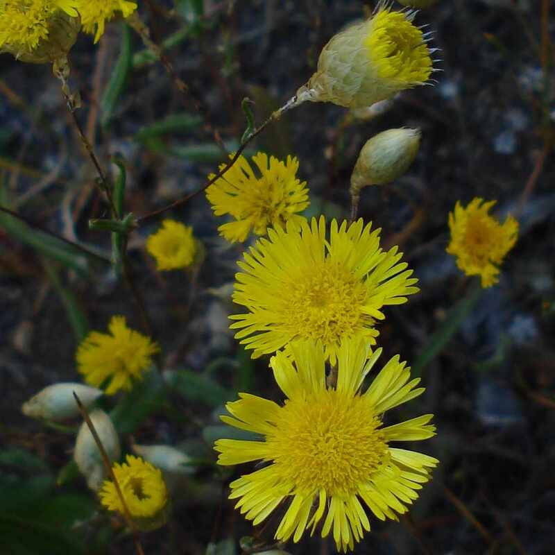
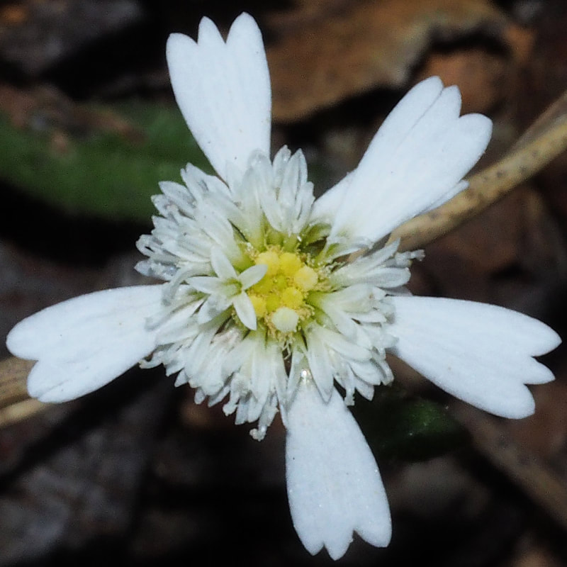
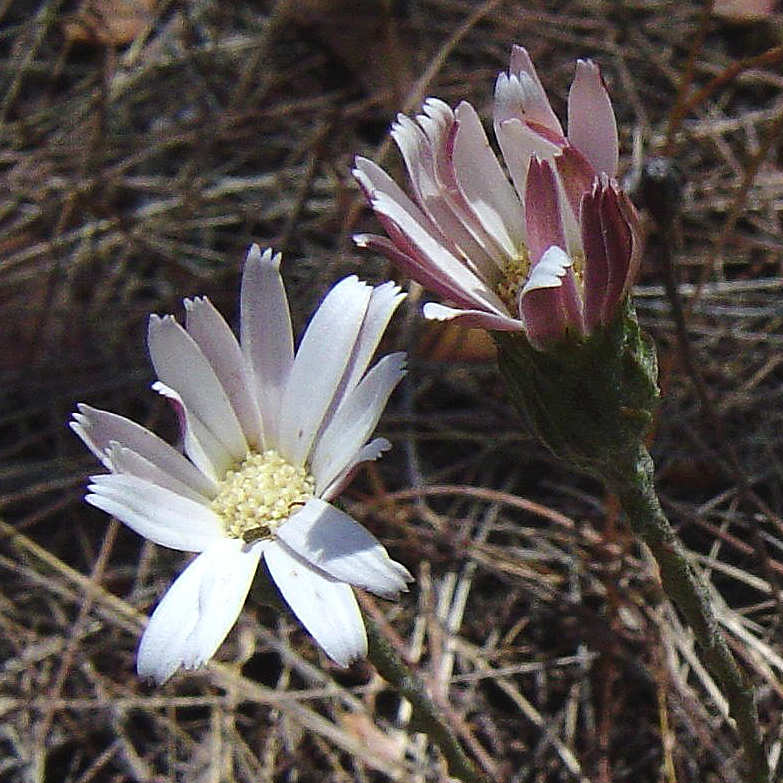
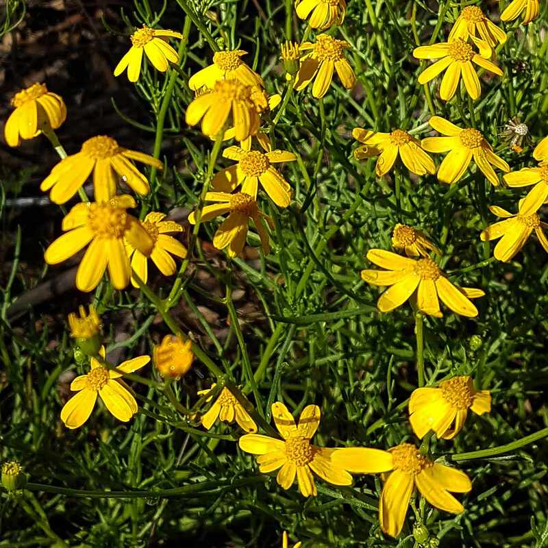
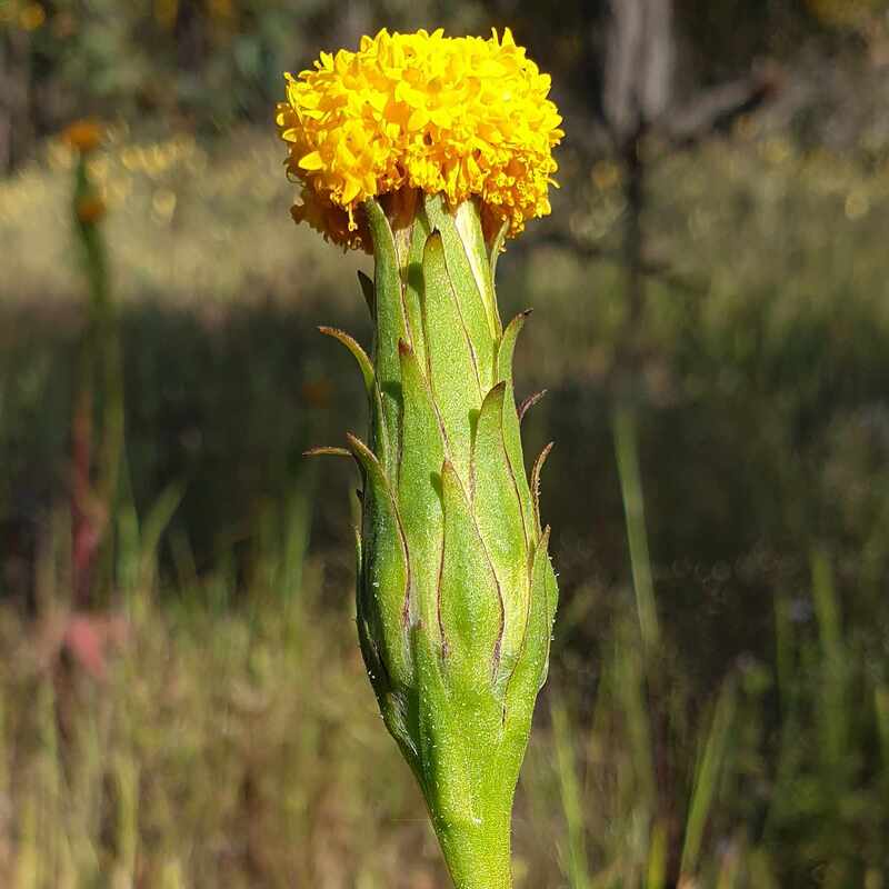
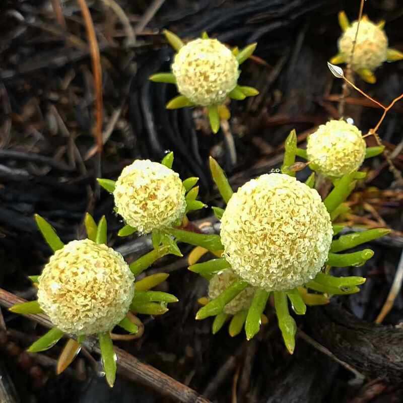
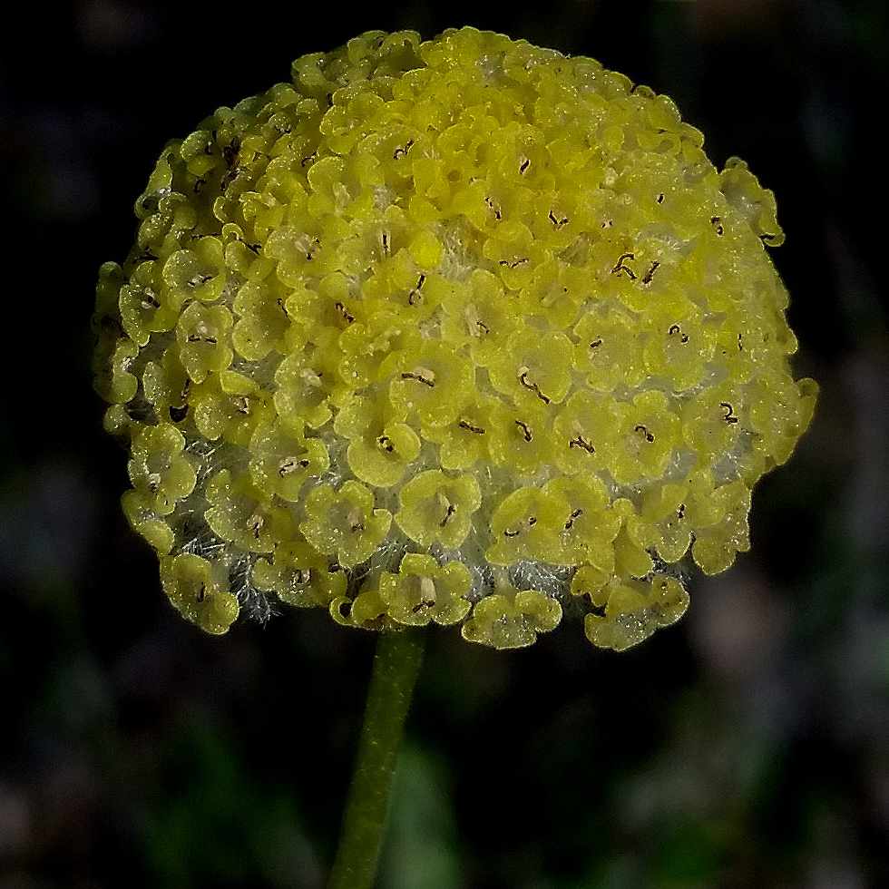
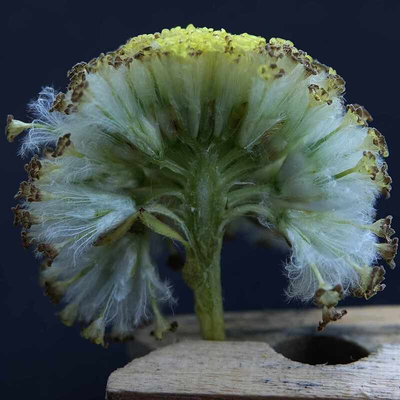
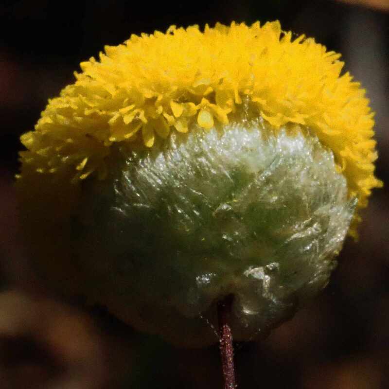
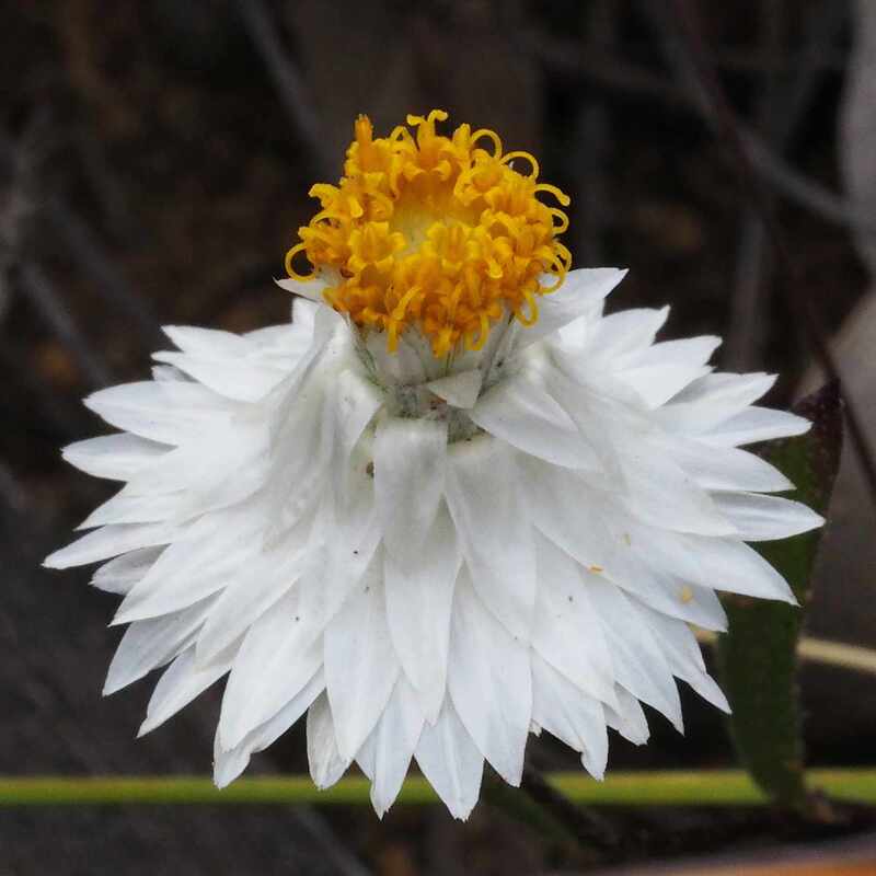
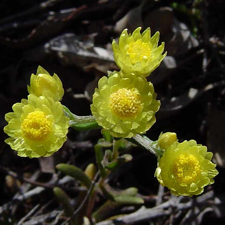
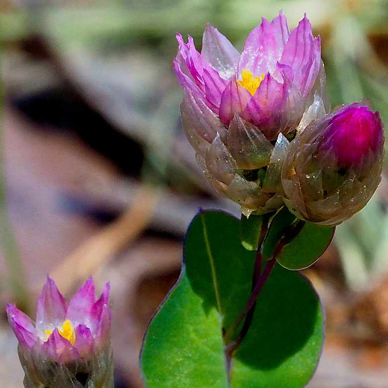
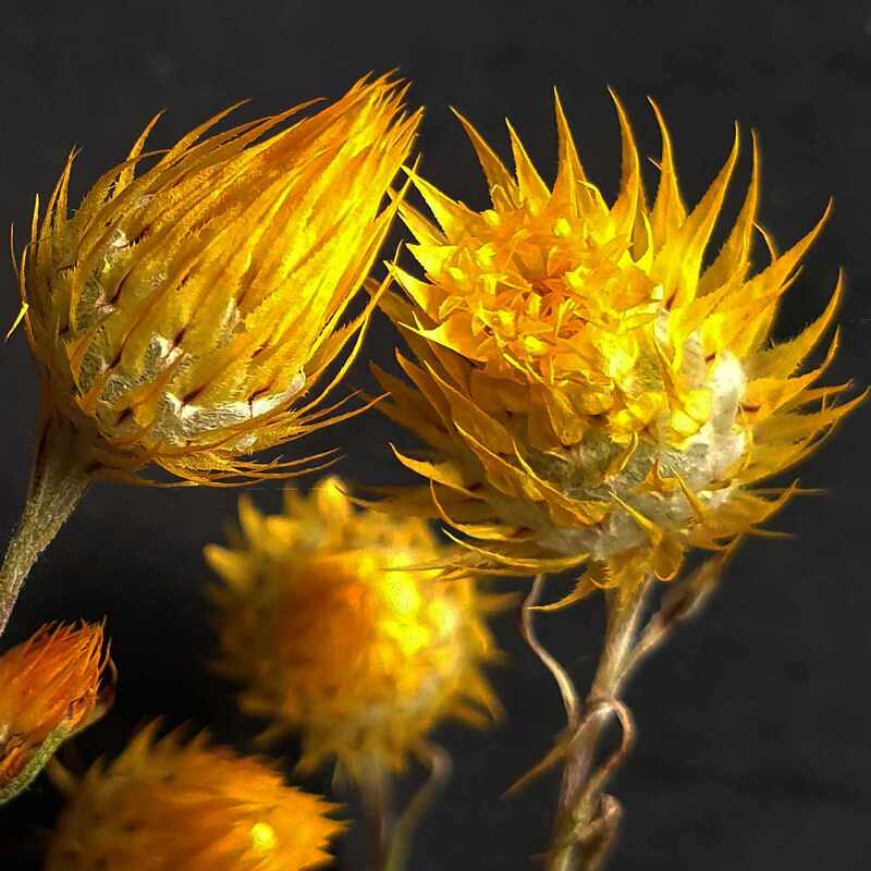
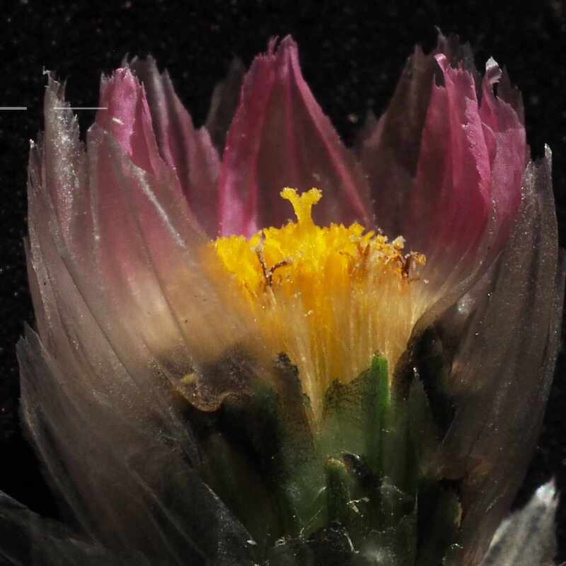
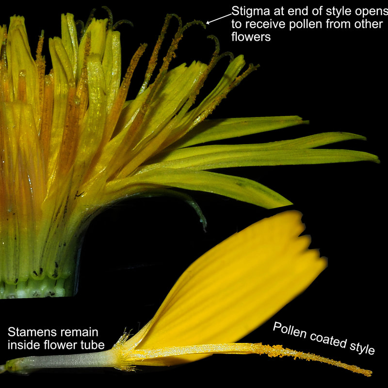
Soil and landscape variability underpins the amazing 750 species of native plants, and the many birds and animals in the reserve. Diversity is greatest in the upland kwongan heathlands, which have mixed shrub communities.
Vegetation is a good indicator of soil type, although Rock Sheoak trees (Allocasuarina heugelii) are gradually invading other plant communities
|
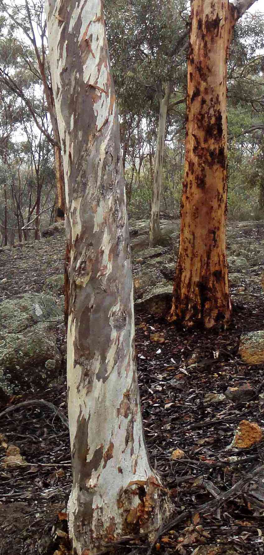
Wandoo (foreground) and Brown Mallet
|
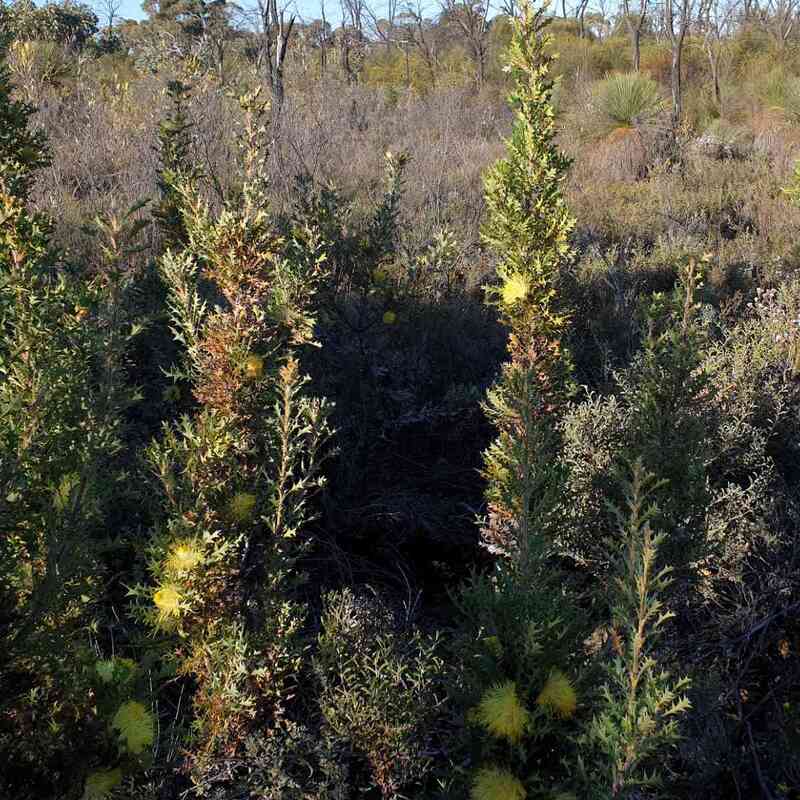 Kwongan scrub | 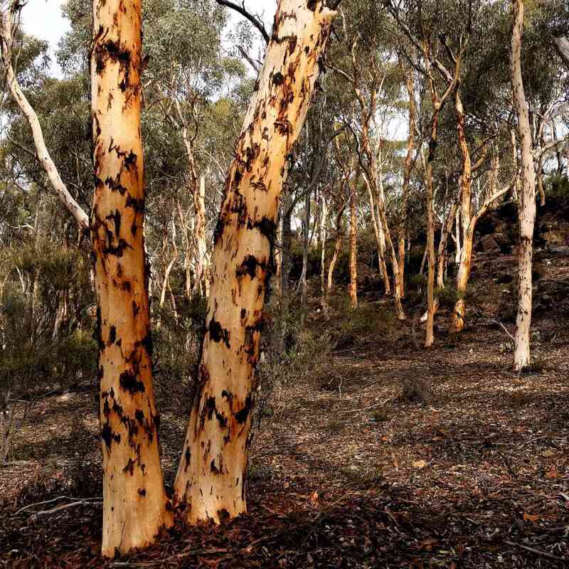 Powderbark | 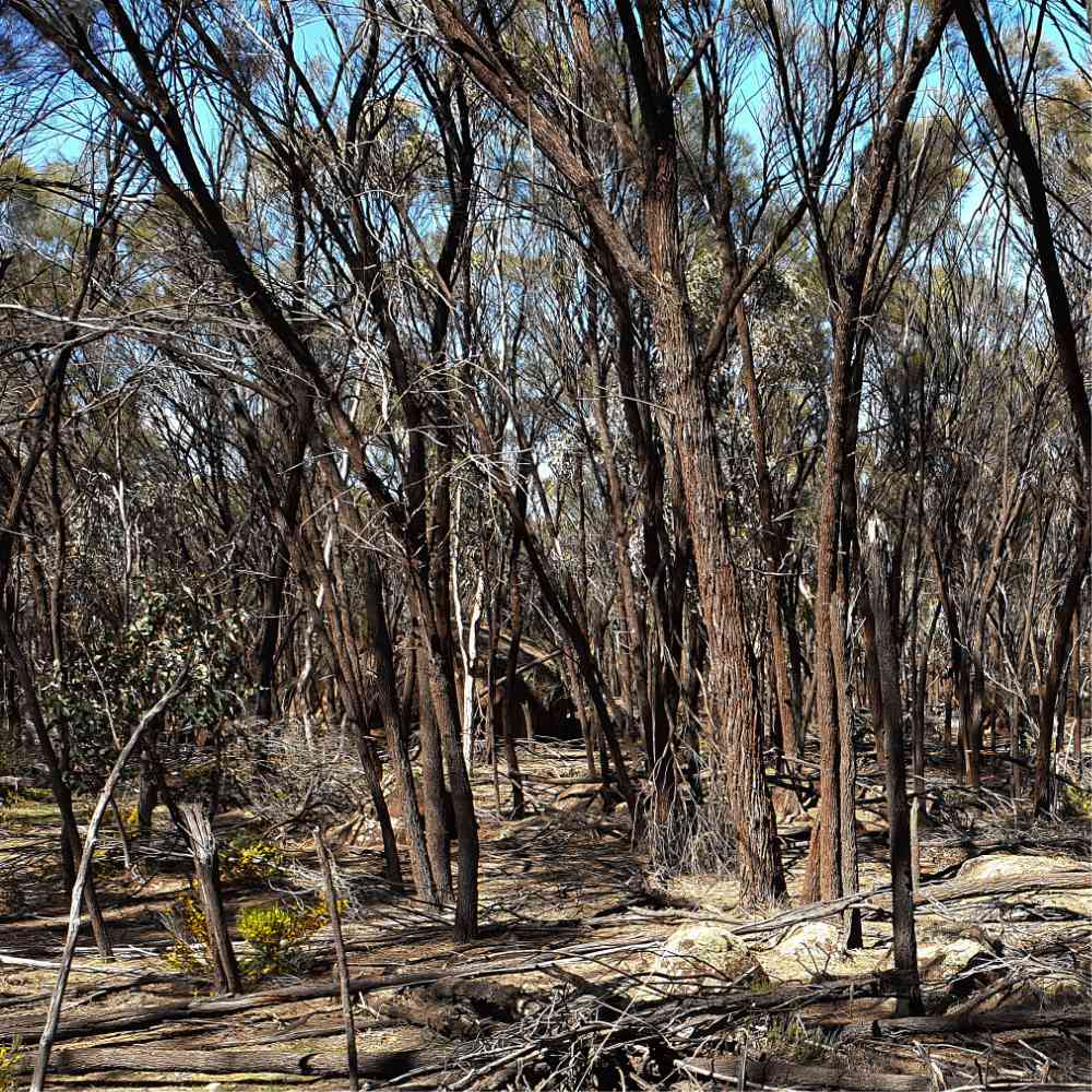 Rock Sheoak | 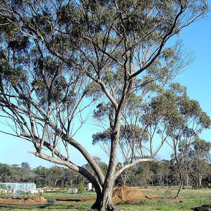 York Gum |
Click this link for a Google Photos album containing images of wildflowers and landscapes.
The map below shows internal roads and the walk trail. The roads are fire access tracks, which are annually maintained, and many no longer have signposts. My 2-wheel drive ute can negotiate most of them, but some sections marked in red are only suitable for 4WDs. Many are narrow, rutted and stony and it is difficult to turn around if a problem is encountered. If you are unsure, it is a good idea to walk or ride your bike ahead to avoid getting stuck. I get good WIFI reception with my Telstra phone , but the nearest reliable assistance is in Pingelly.
The map below shows internal roads and the walk trail. The roads are fire access tracks, which are annually maintained, and many no longer have signposts. My 2-wheel drive ute can negotiate most of them, but some sections marked in red are only suitable for 4WDs. Many are narrow, rutted and stony and it is difficult to turn around if a problem is encountered. If you are unsure, it is a good idea to walk or ride your bike ahead to avoid getting stuck. I get good WIFI reception with my Telstra phone , but the nearest reliable assistance is in Pingelly.
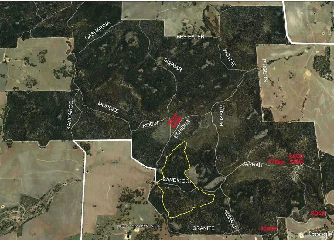
Internal roads and walk trail. Red indicates known vehicle hazards
Tutanning is excellent hiking country, and internal roads make good (occasionally bumpy and sandy) mountain bike trails for the moderately fit. The map below shows three interesting circuits.
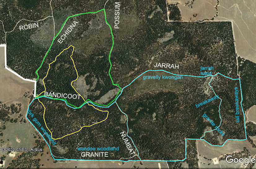
A 3km Class 3 walk trail (yellow), which crosses Bandicoot Road takes up to 2 hours to complete. You may encounter minor natural hazards such as short, steep sections, steps, shallow water crossings and unstable or slippery surfaces. A good level of fitness is recommended.
As the southern section, which is mainly lateritic breakaway and gravel country is more difficult and has less wildflowers, many prefer to only walk the northern section and return via Bandicoot Road (2.2km).
As the southern section, which is mainly lateritic breakaway and gravel country is more difficult and has less wildflowers, many prefer to only walk the northern section and return via Bandicoot Road (2.2km).
A longer but easier (green 3.5km level 2) walk along Bandicoot, Possum and Echidna Roads features many shrub wildflowers on white and yellow sand, and gravel kwongan shrubland. Vehicle sand hazard.
The south-eastern corner of the reserve is interesting country, which features relict jarrah trees, impressive breakaways, granite outcrops and attractive views of neighbouring farmland. A 6km level 2 circuit via Jarrah Road and the southern boundary (blue) is a good walk to see this country. The length of the walk can be reduced by cutting south down Numbat Road or a poorly marked track at the jarrahs. Bandicoot Road up to Jarrah Road is car friendly, but do not drive down Jarrah Road.
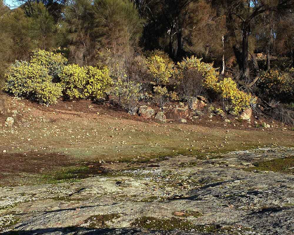 Granite outcrop | 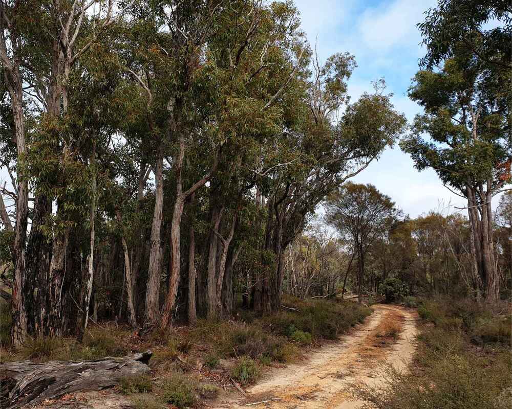 Jarrah | 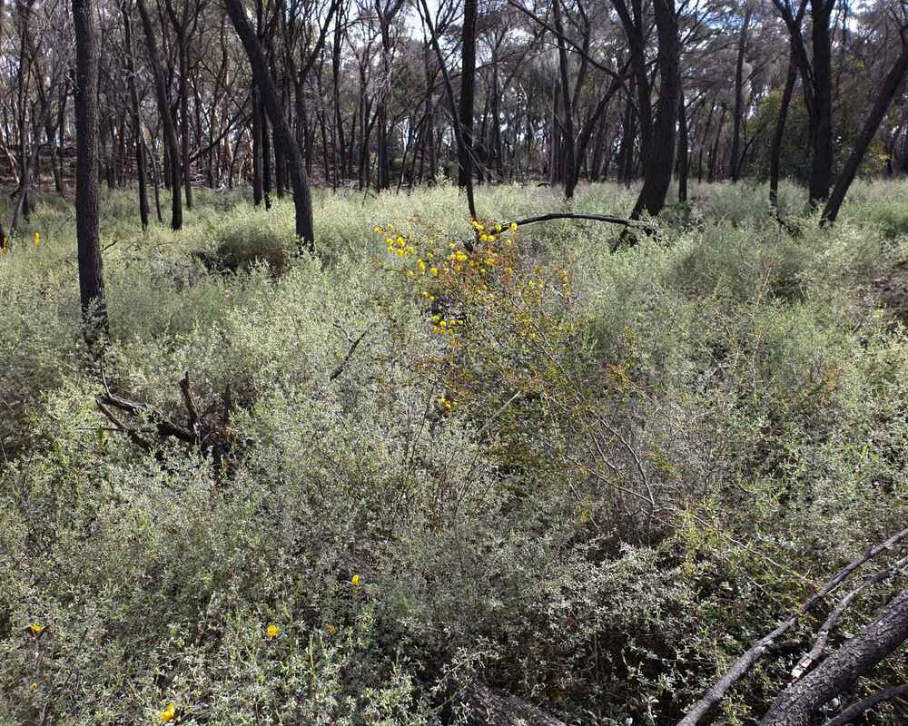 Honey myrtle eastern boundary |