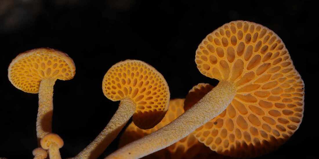
Yesterday I found an attractive fungus attached to the base of a dead shrub at the Marri Picnic Area. Alas it is Favolascia calocera var. claudopis (Orange Pore Fungus, Orange Ping Pong Bat), an invasive fungal weed that originated in Madagascar. Foxes Lair has the dubious distinction of being way north of any other report in WA for the Atlas of Living Australia. A number of groups from the south west (where it is established) have visited the Lair in the last few years, so this may be a downside of successful tourism.
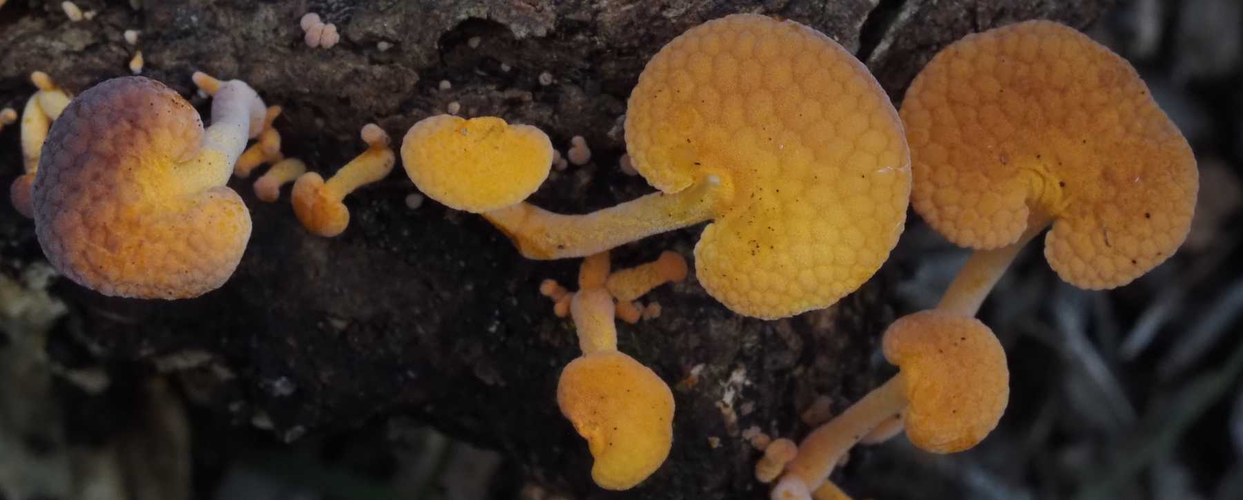
Favolascia calocera is a wood rotting fungus, which apparently spreads in disturbed areas. It is not edible (humans) but not poisonous, so it shouldn't affect animals. The main risk is to other native wood rotting fungi of which there are many, particularly polypore bracket, and resupinate fungi. Following images show some.
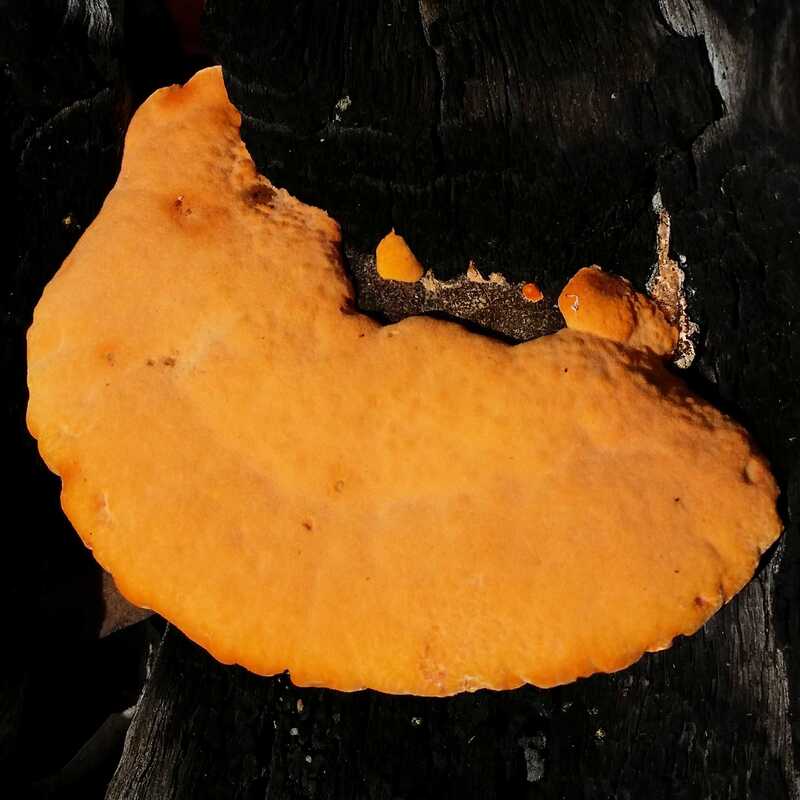 Pycnoporus coccineus Orange Bracket fungus | 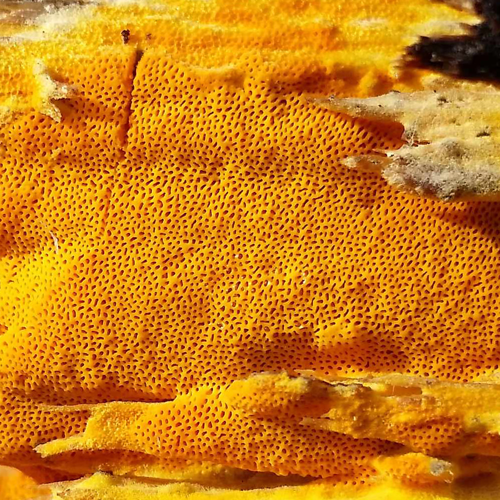 Ceriopora spissa | 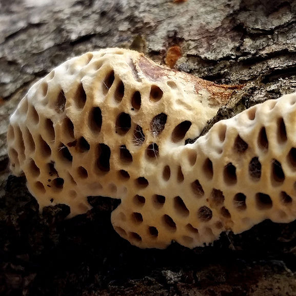 Hexagonia vesparia. Wasp Nest Polypore | 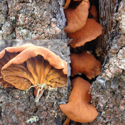 Anthracophyllum archerii |
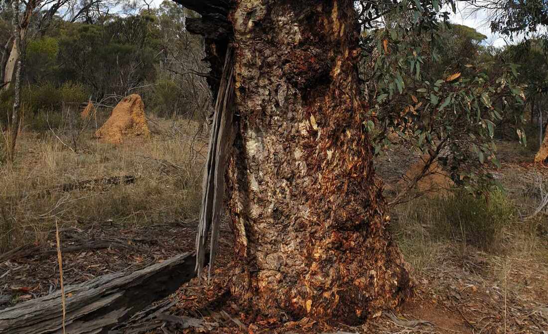
Time will tell whether it poses a real problem, but introduced fungi are not new. Phytophera cinnamomi a devastating dieback fungus is wreaking havoc in some national parks (but not Foxes Lair so far). Almost all of our edible mushrooms are introduced and have established on fertile soil. I found the funky Schizopora leather fungus fruiting bodies rotting treated pine furniture in Foxes Lair,
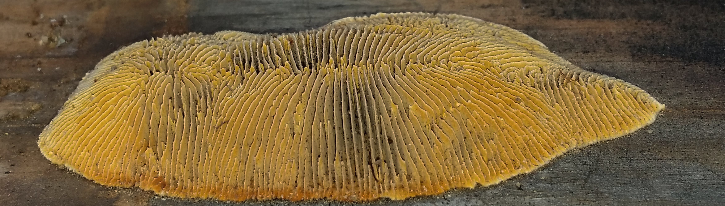
Schizipora species
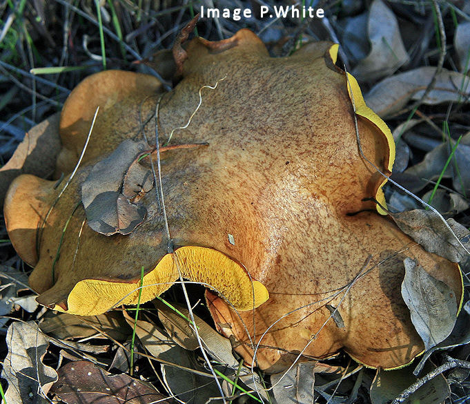 Slippery Jack Suillus luteus
 A bolete Suillus luteus / Slippery Jack has been introduced as a mycorrizal fungus for pines. The slippery yellow bolete looks distinctly unappetising to me, but there is a bunch of local Ukranians eagerly awaiting it's appearance.