At a Glance
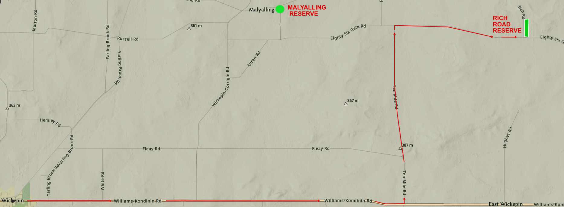
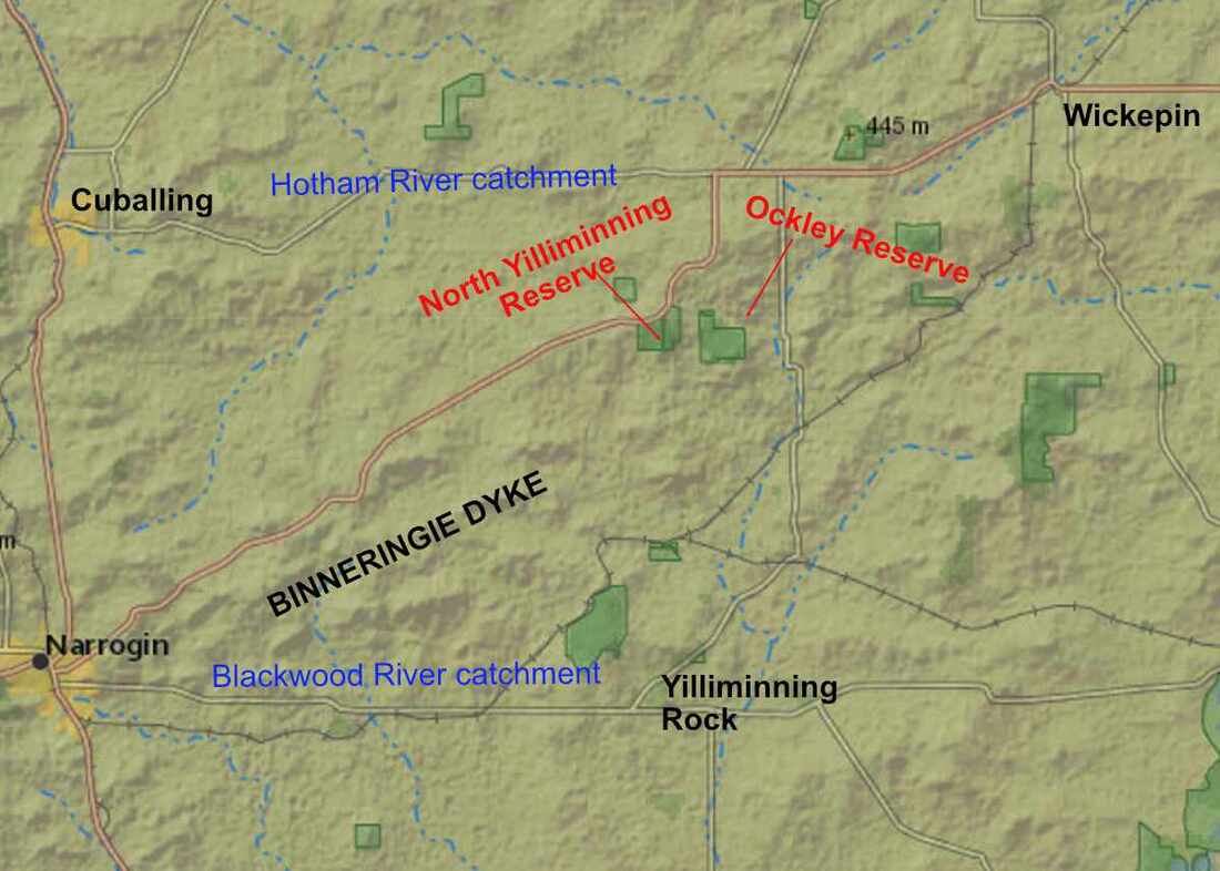
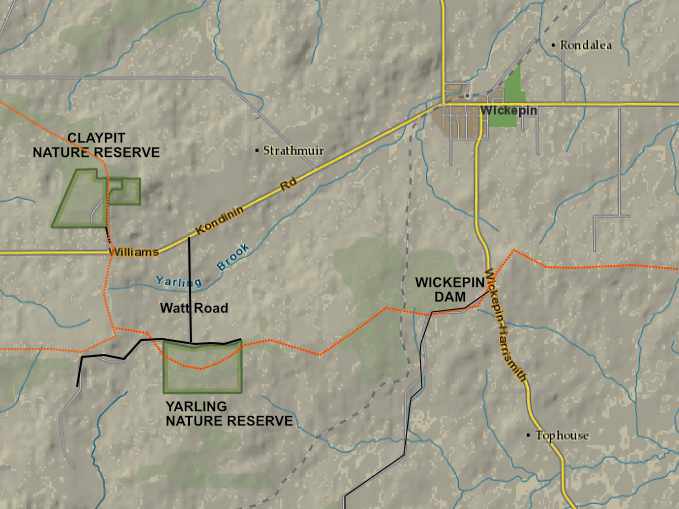
- 33 kilometres east of Narrogin and 7 kilometres west of Wickepin
- A huge water tank of the Comprehensive Water Scheme, which is a lifeblood for local towns and farms
- Attractive woodland and spring wildflowers
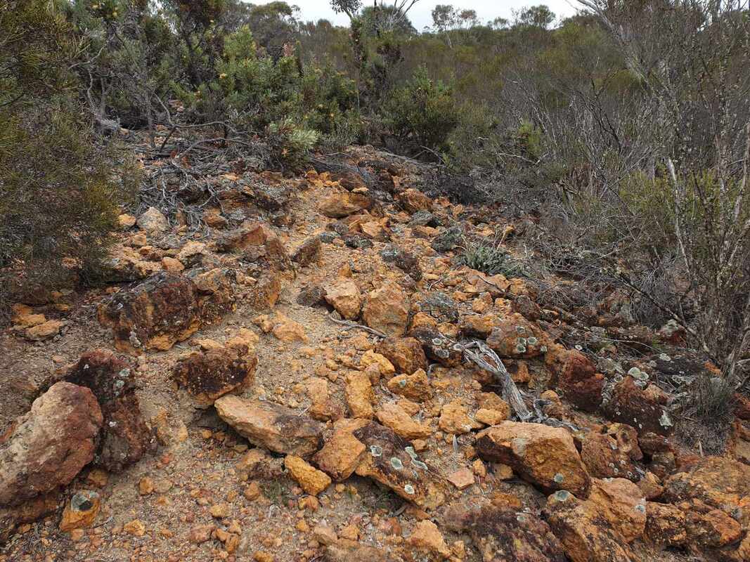
- Excellent example of red and white ochres
- Good birdwatching spot
- No facilities
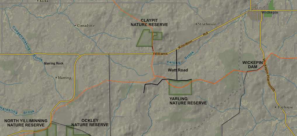
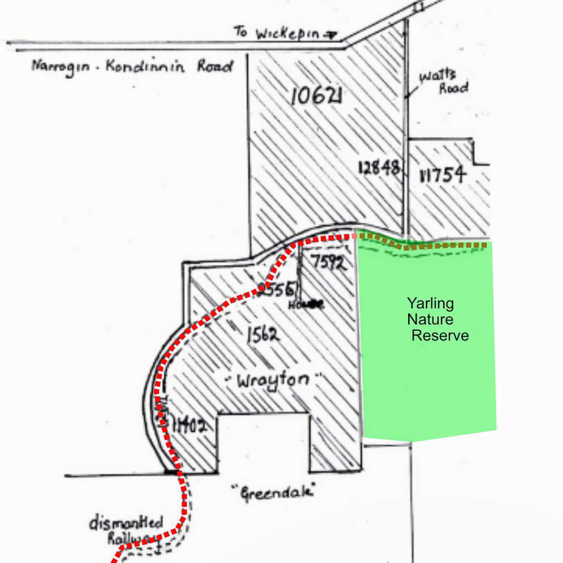
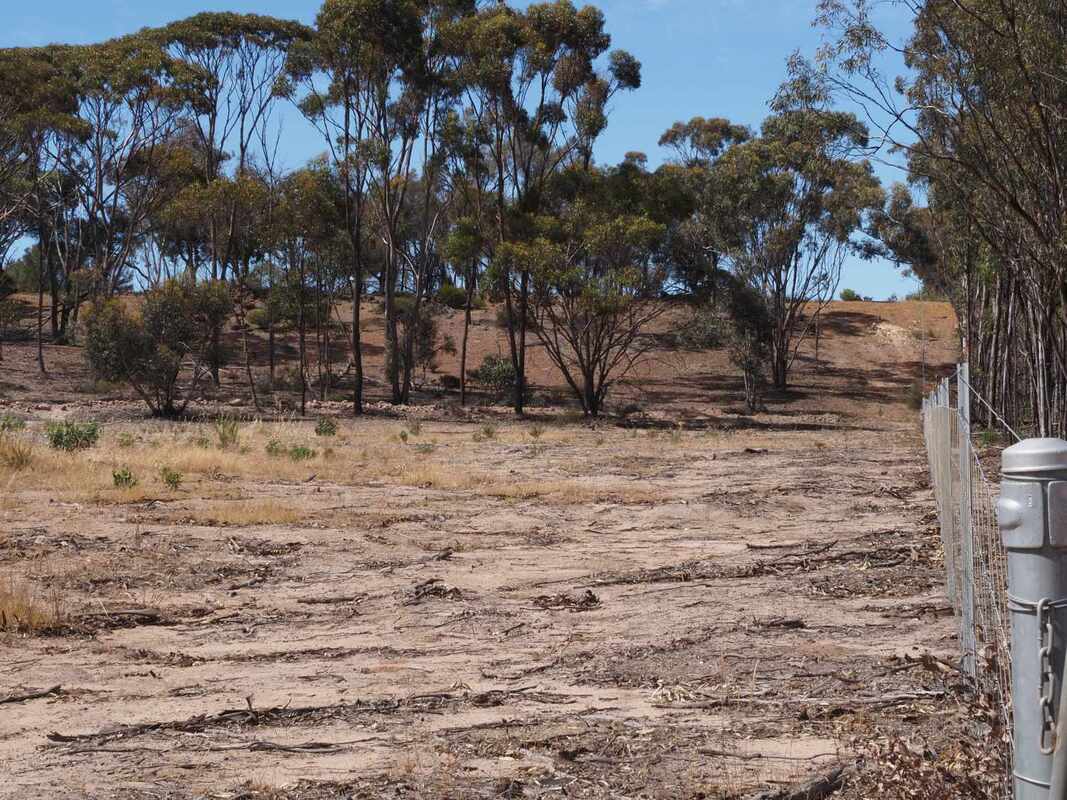
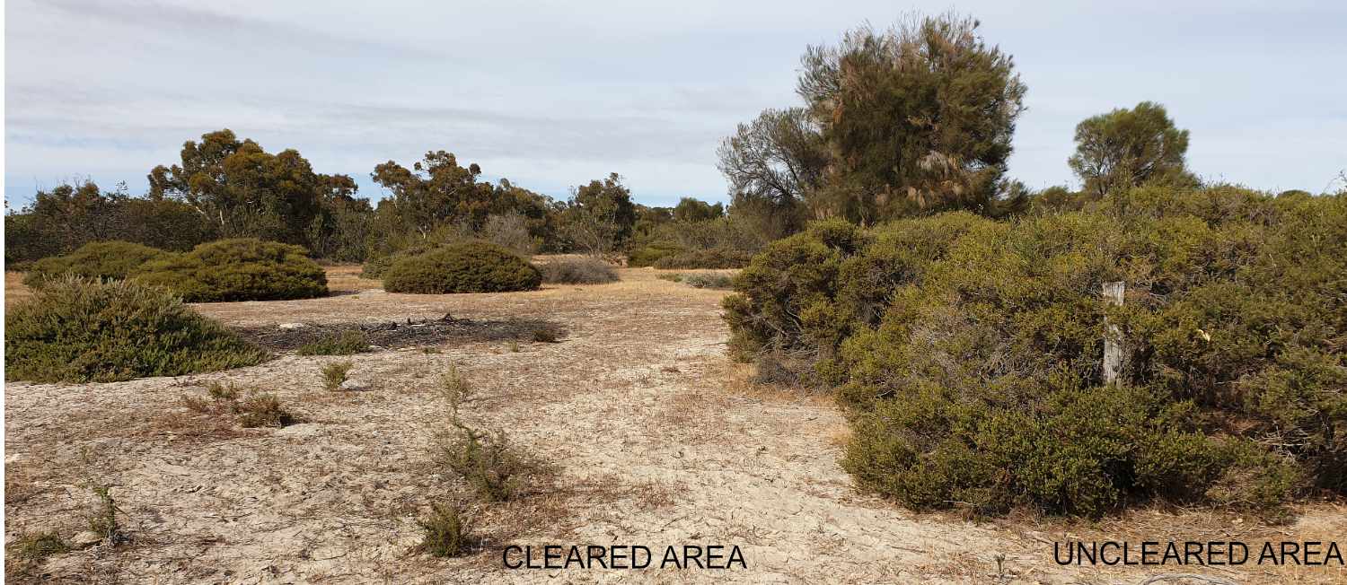
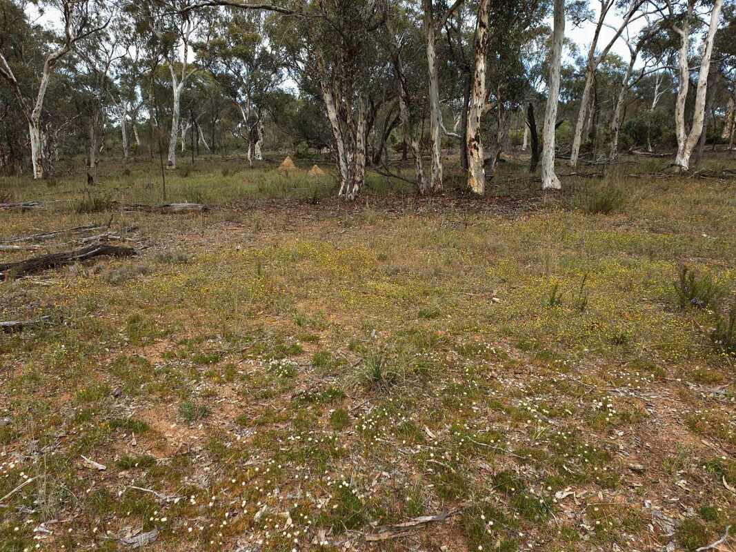
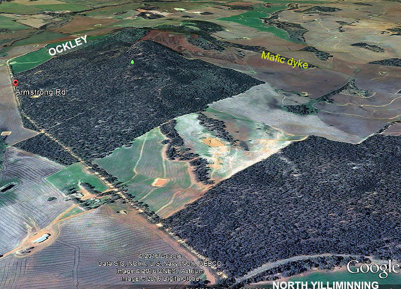
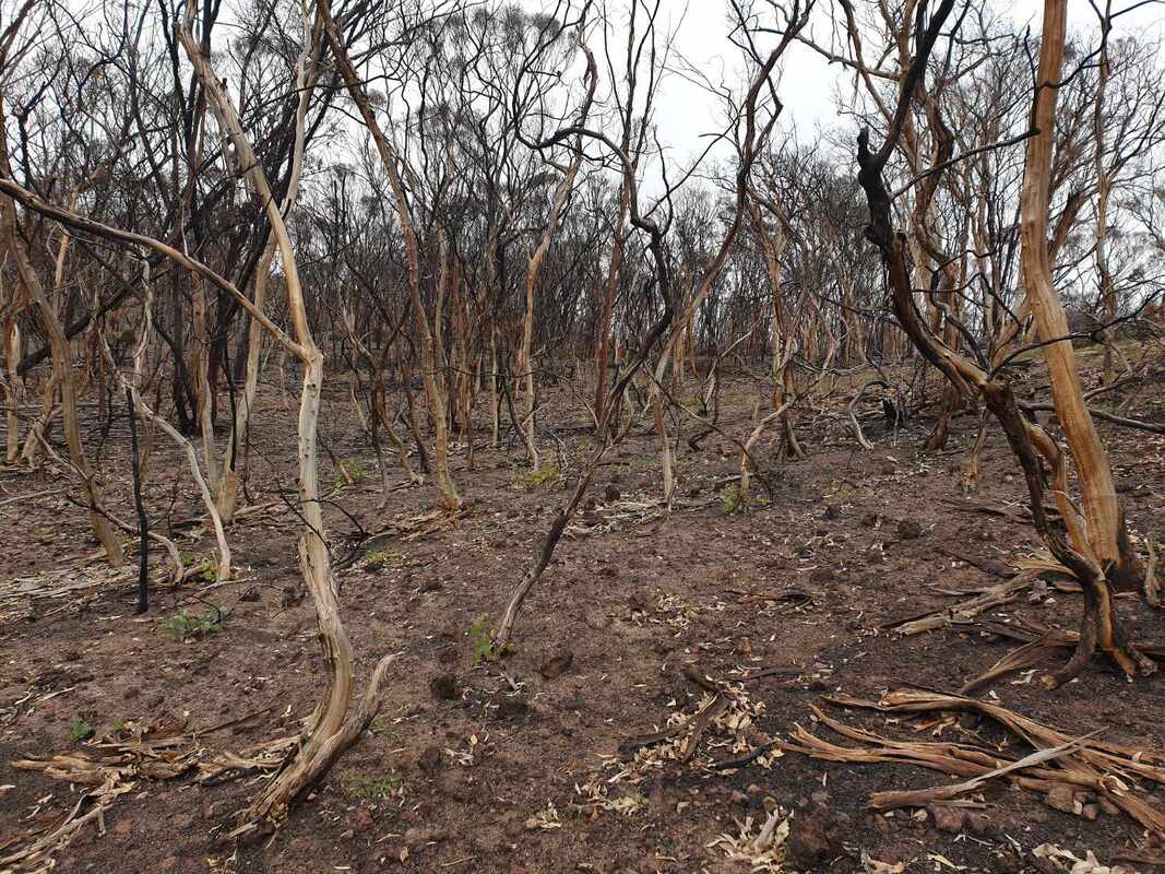
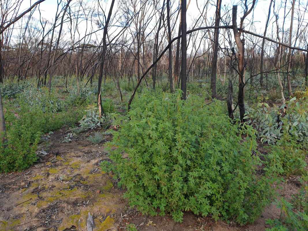
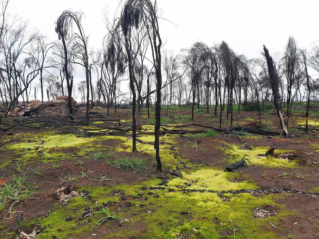
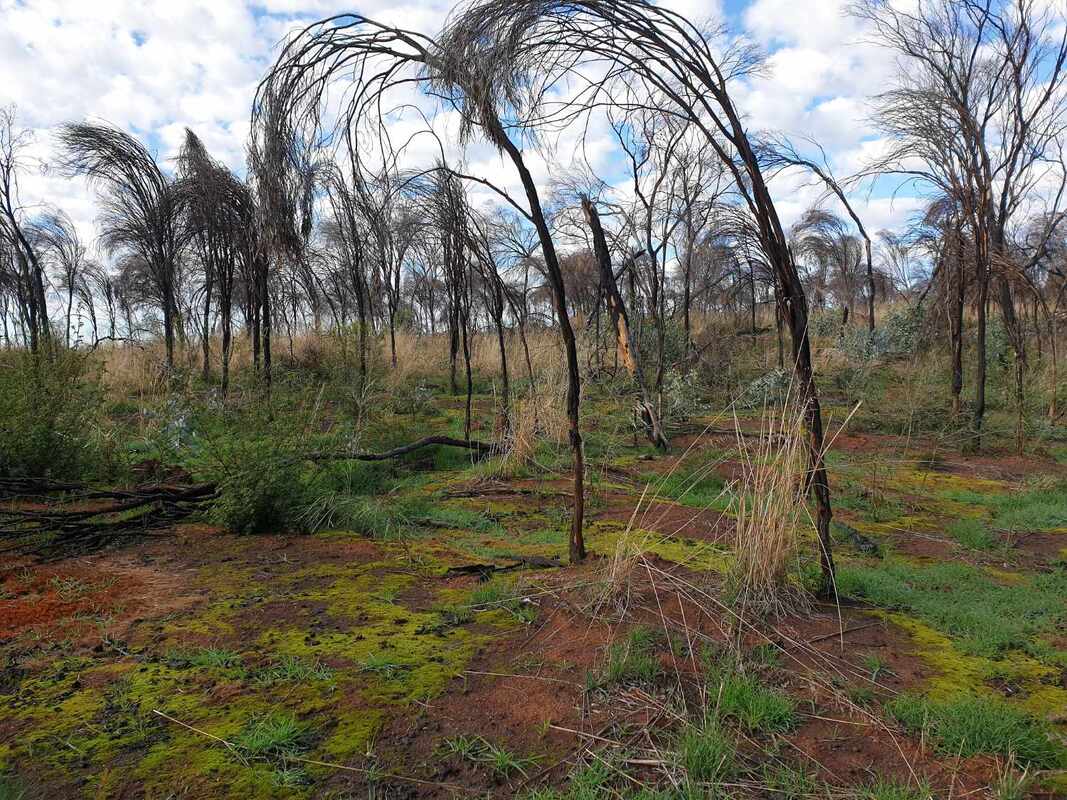
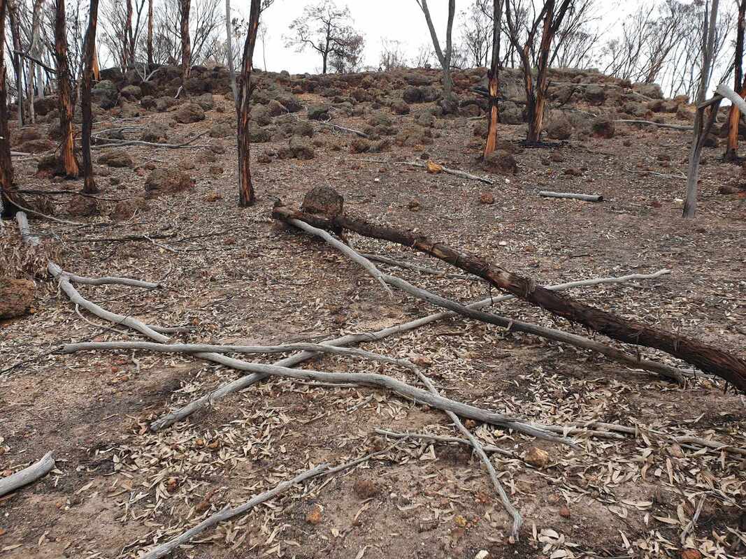
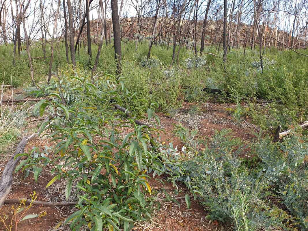
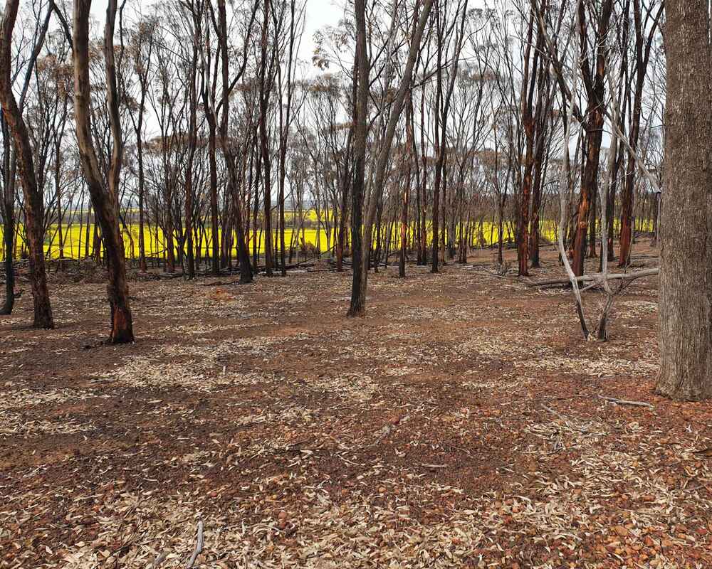
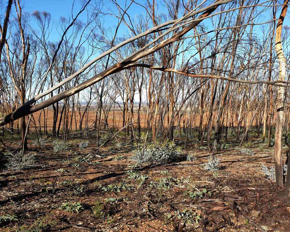
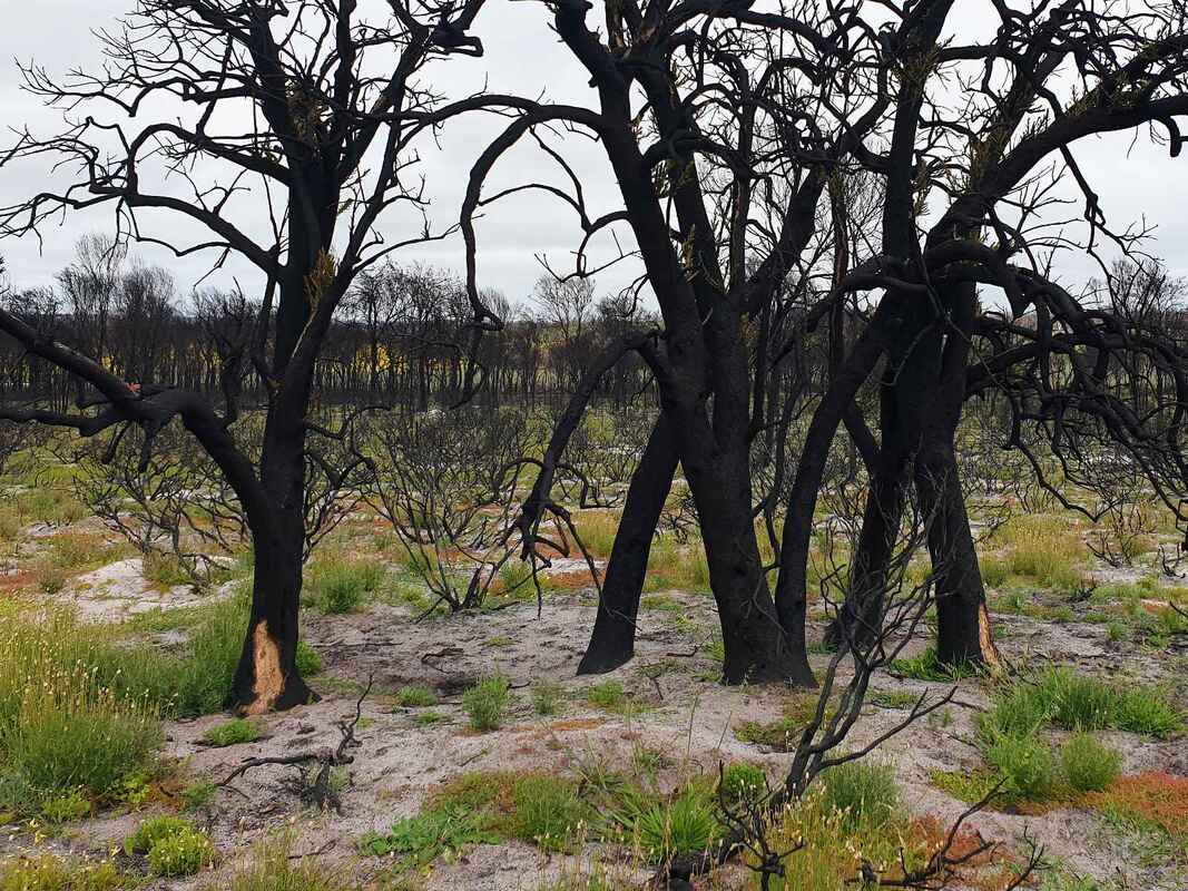
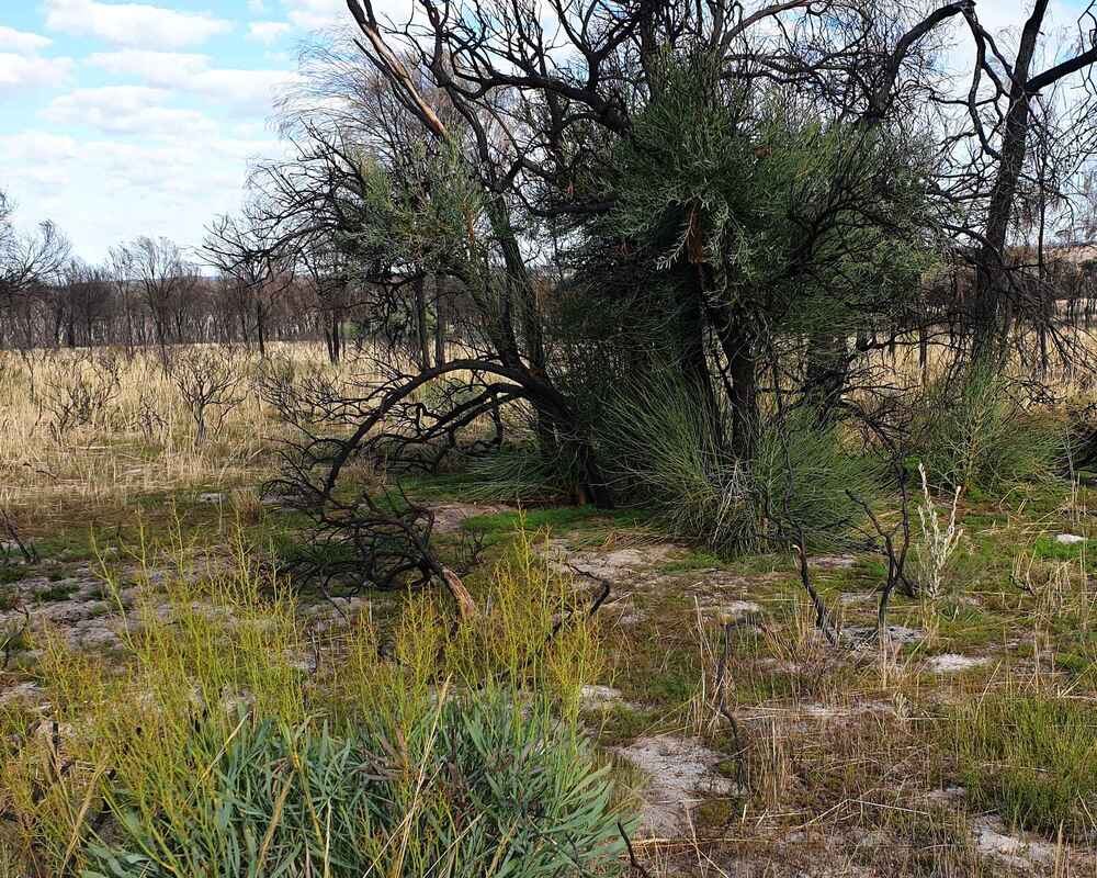
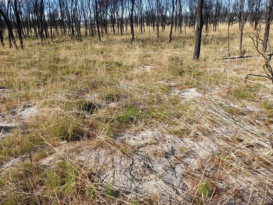
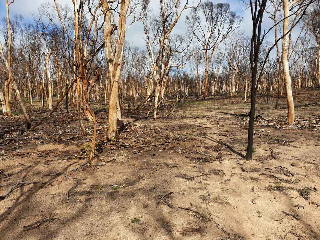
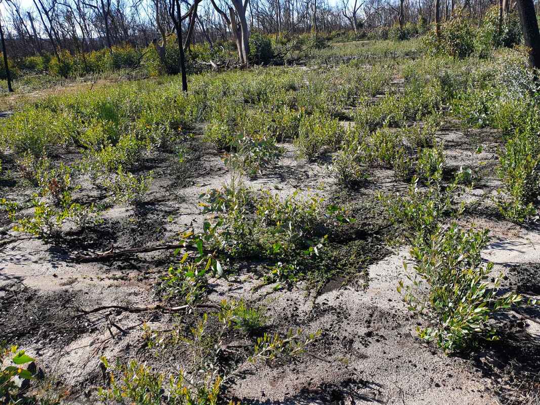
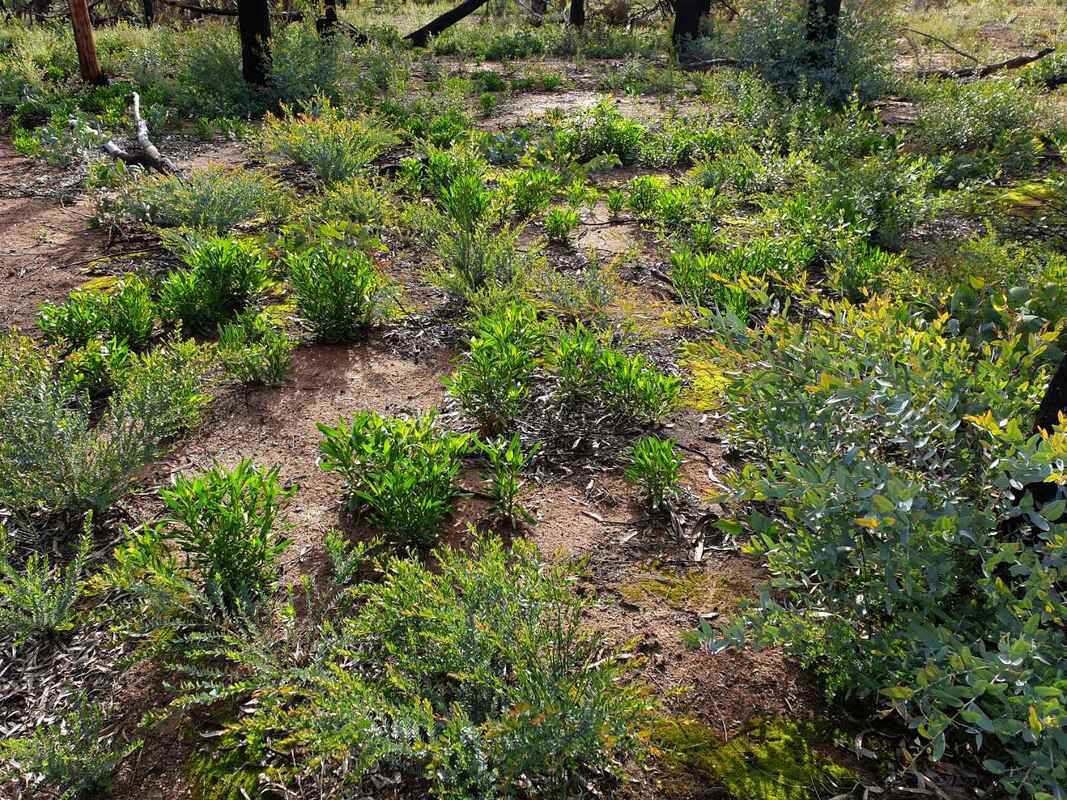
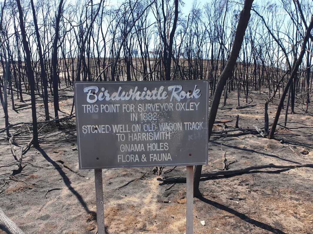
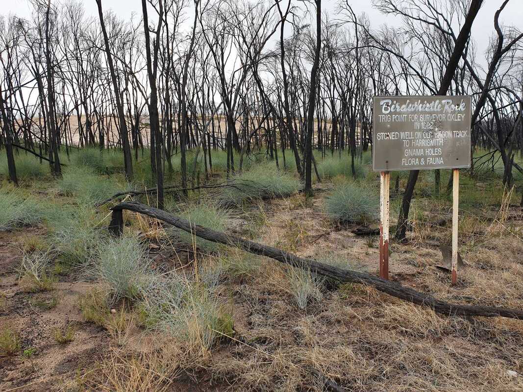
The 45 hectare Claypit Nature Reserve is 33 kilometres east of Narrogin and 7 kilometres west of Wickepin. The reserve appears to be much larger because it surrounds a 5 hectare water reserve, and is surrounded by extensive uncleared land on private properties. The reserve is fenced on east, west and southern sides, but the fence on the west includes a wedge of private bushland in pristine condition. There is no boundary fence on the northern side. Most of the bush is in excellent condition, with relatively few weeds. The entry road splits into a continuing but rougher direct approach, and a more pleasant loop on the left. There are no facilities. Excellent bird watching location.
 |  |
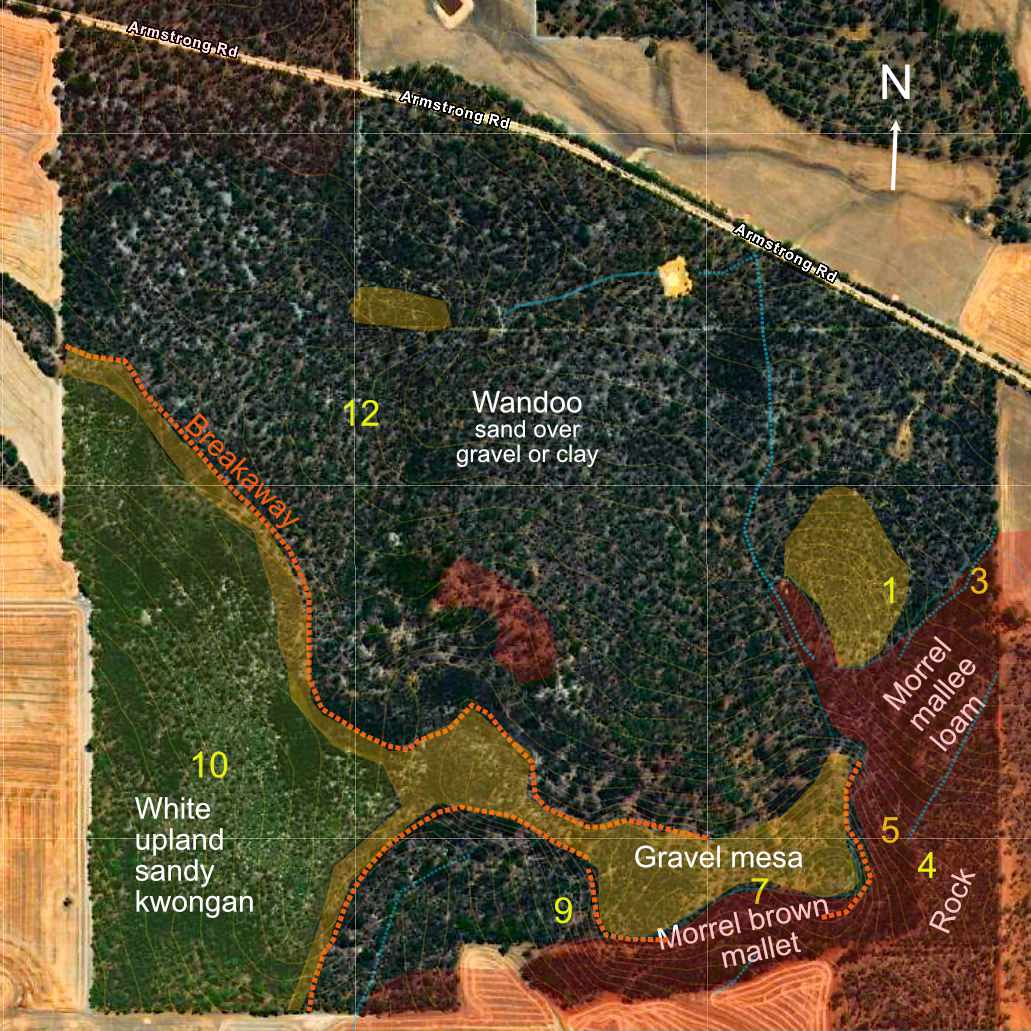
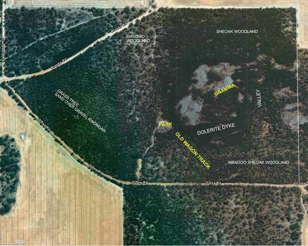
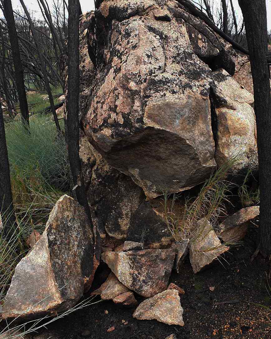
 Gravel and pallid zones
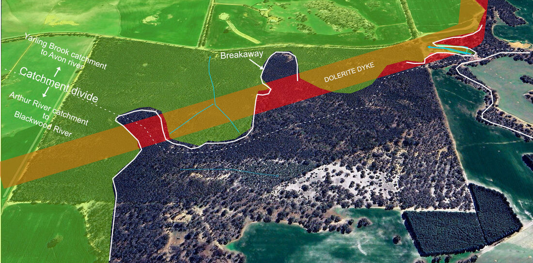
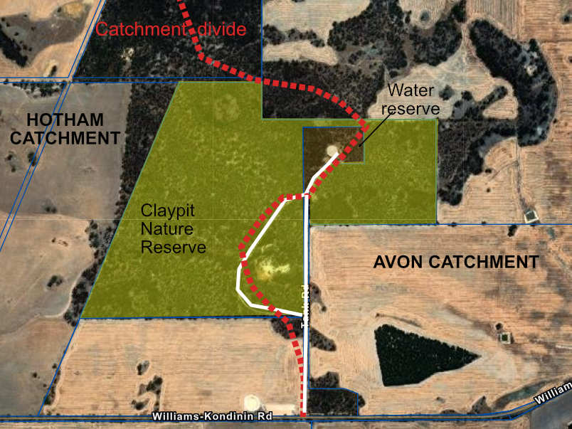
 The reserve is a remnant of an ancient undulating upland plain, which separates the Avon and Hotham River catchments.
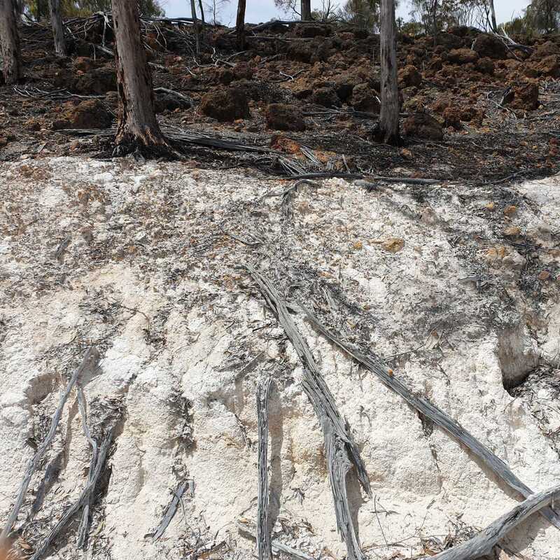
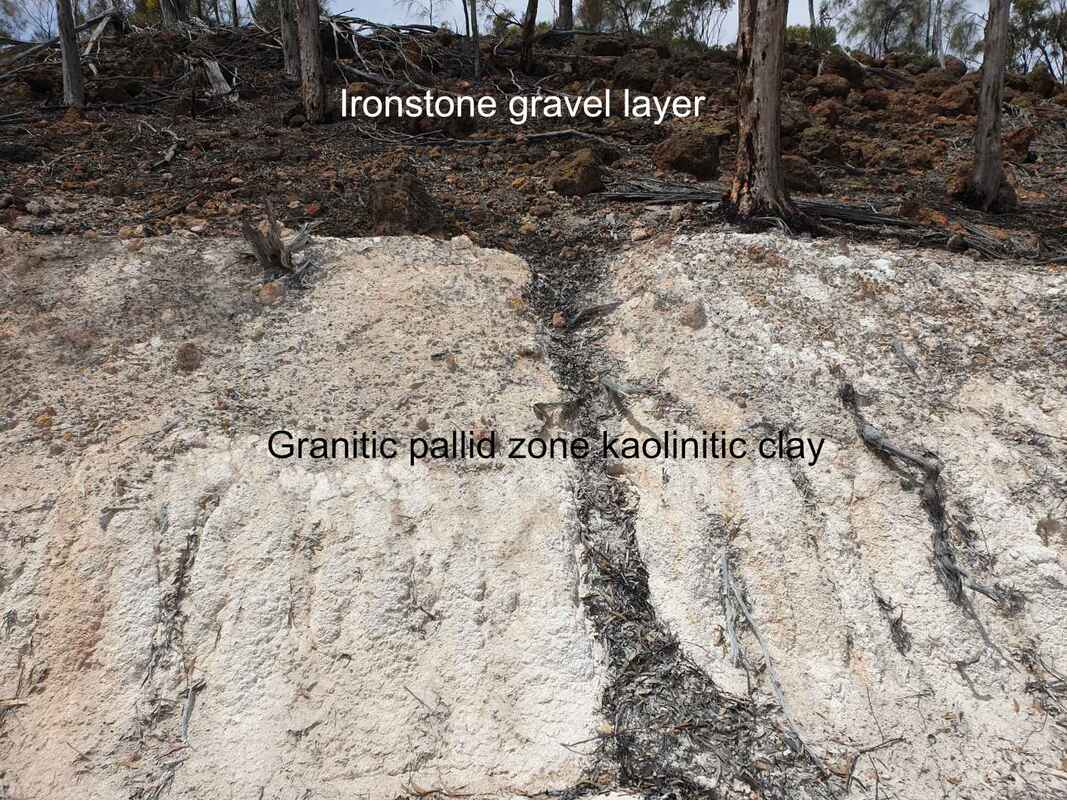
The multi-million year old plain can be likened to a layer-cake, with a top layer of gravel, sand, or ironstone overlying a pale/mottled/red clay (pallid zone) over decomposing granite or dolerite bedrock. Pallid zone is basically kaolinite clay and quartz grains. A very pure deposit is being mined at Uelelling Hill. It is also the clay in ochres.
A sign adjacent to the Narrogin Kondinin Road is a trifle misleading in associating the reserve with the mafic Binneringie Dyke, which is some kilometres further south. Underlying rock here is mainly granite with a few intruding dolerite dykes. White granite kaolinite intruded by narrow red kaolinite seams from dolerite dykes can be seen on sides of cuttings as you drive to the water tank.
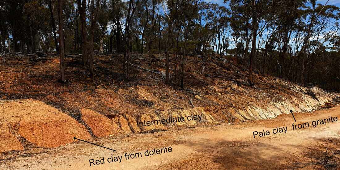
Red clay from narrow dolerite dykes intruding granite in pallid/pink zone layer in road cutting
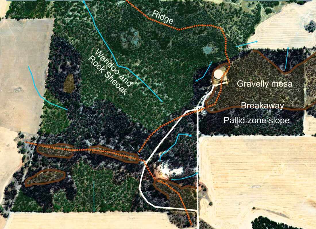
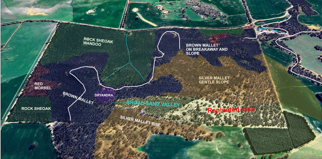
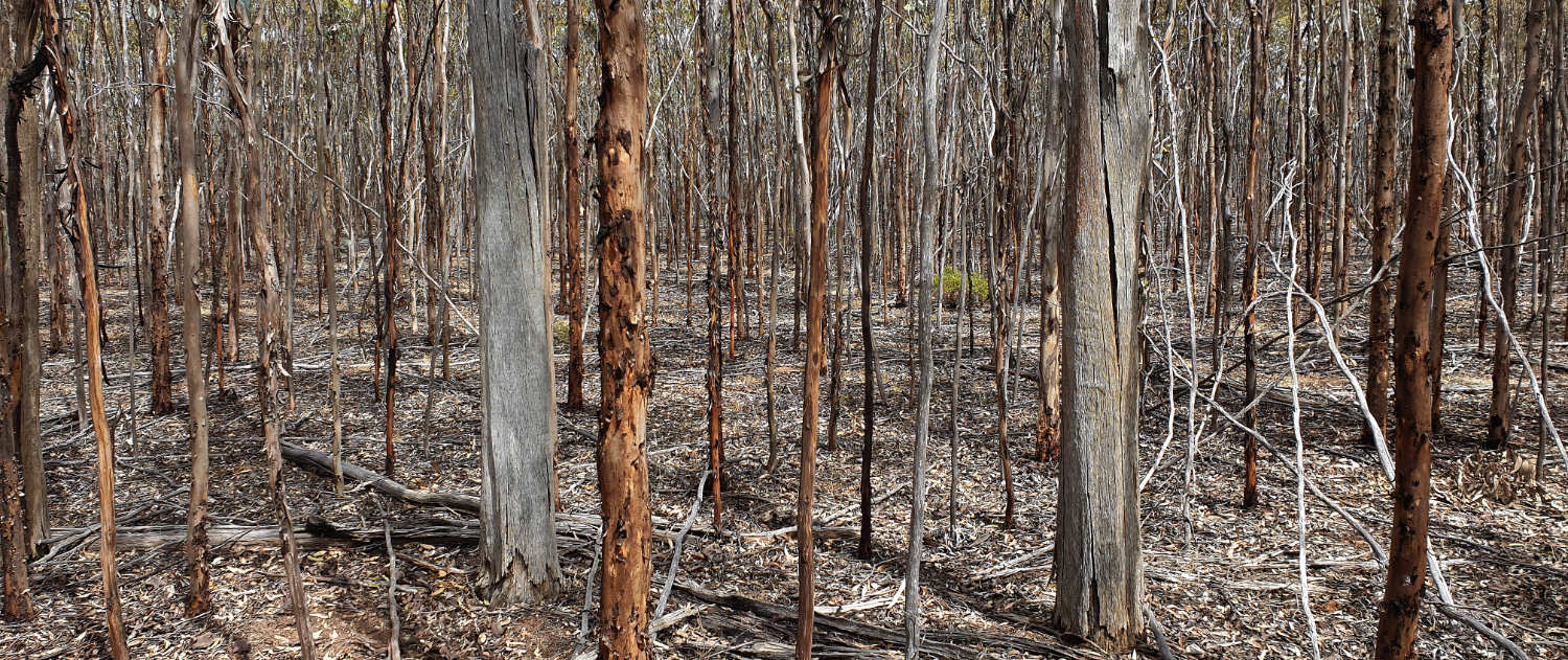
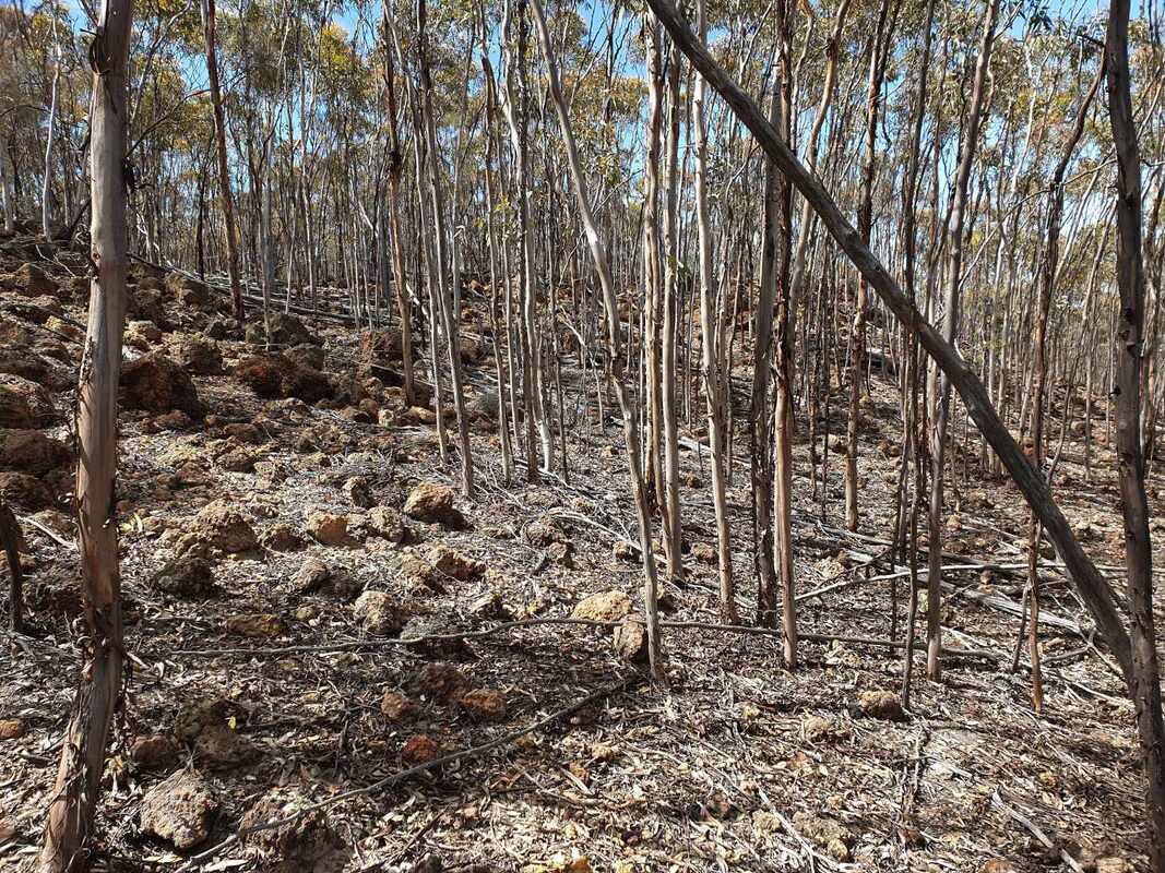
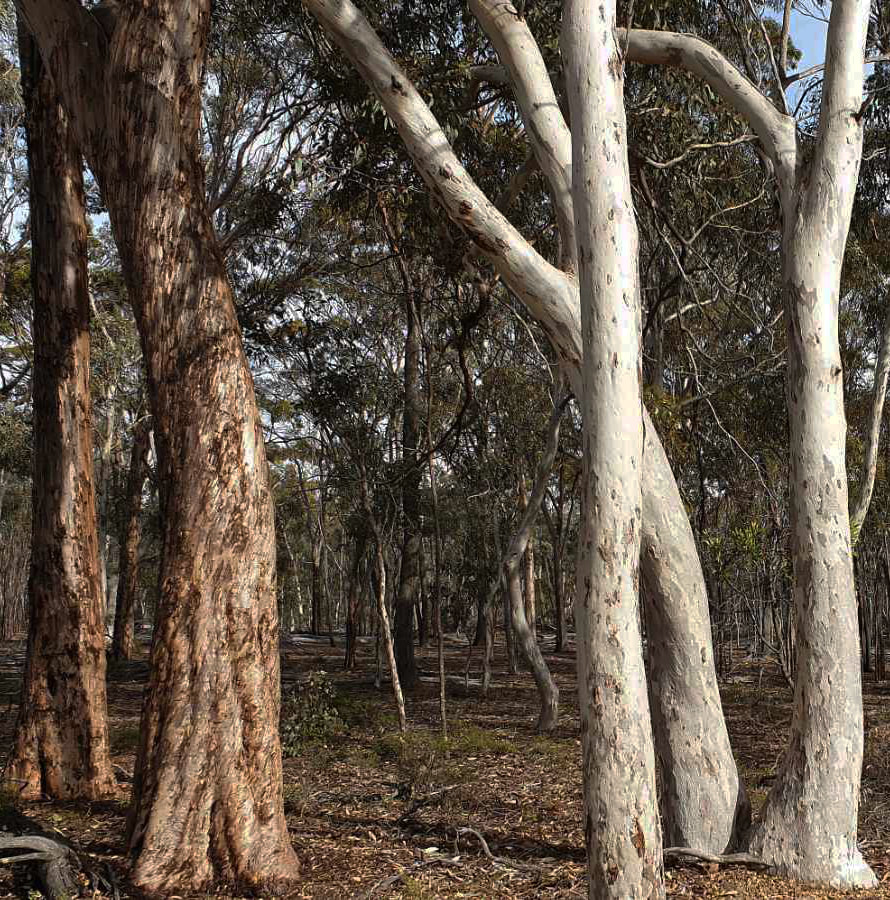
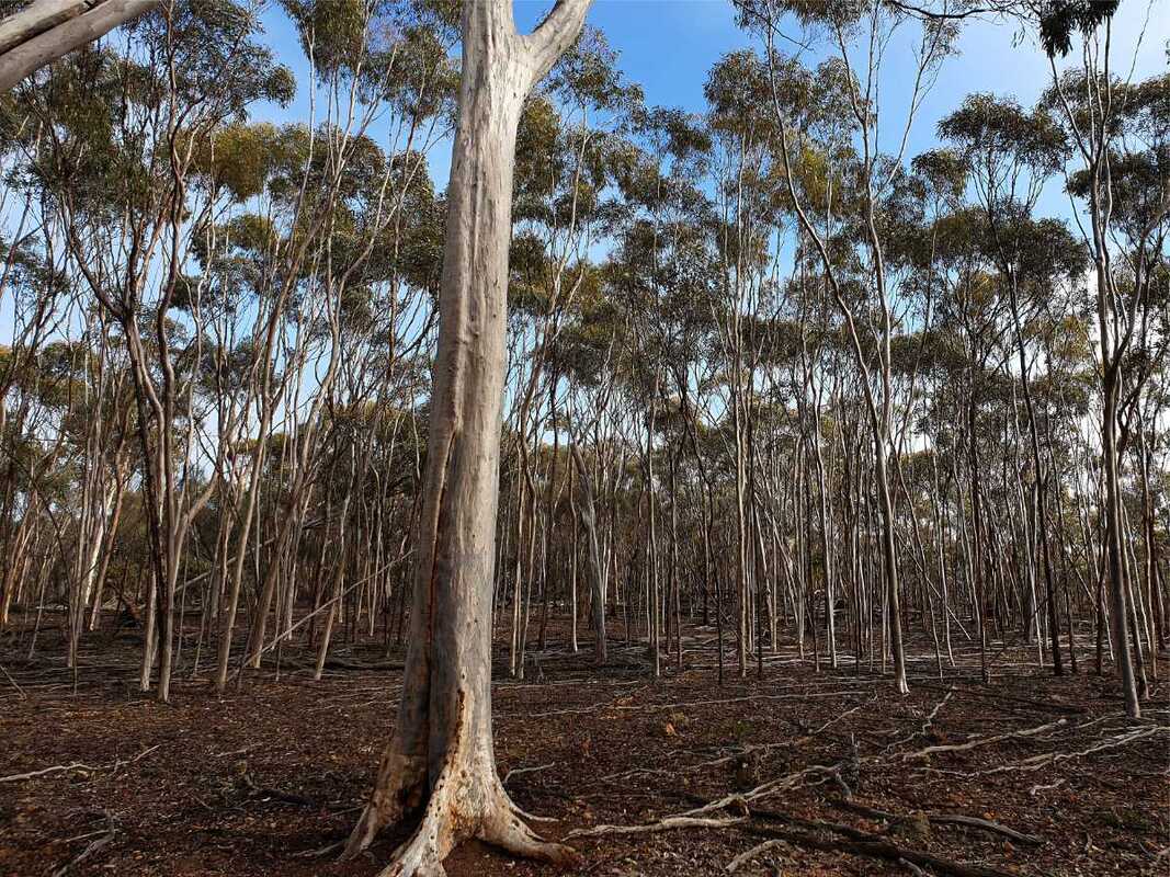
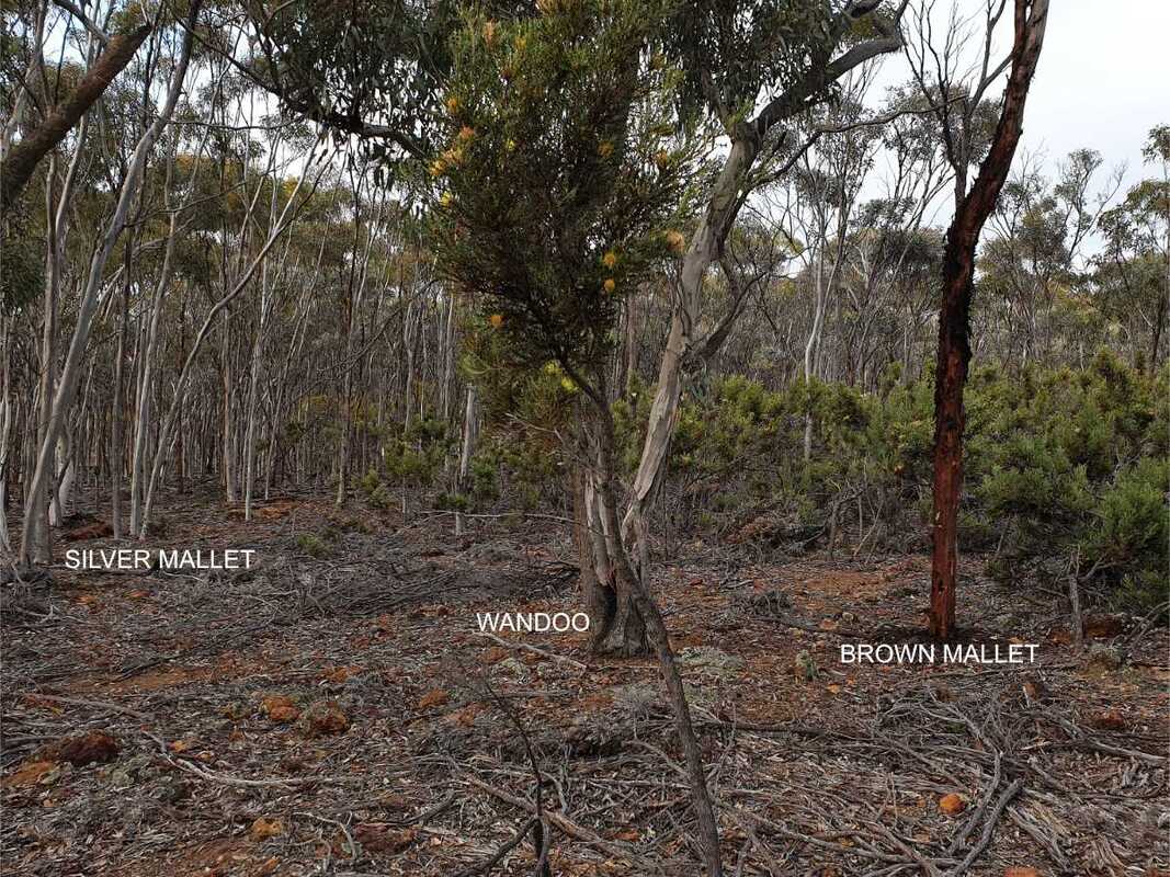
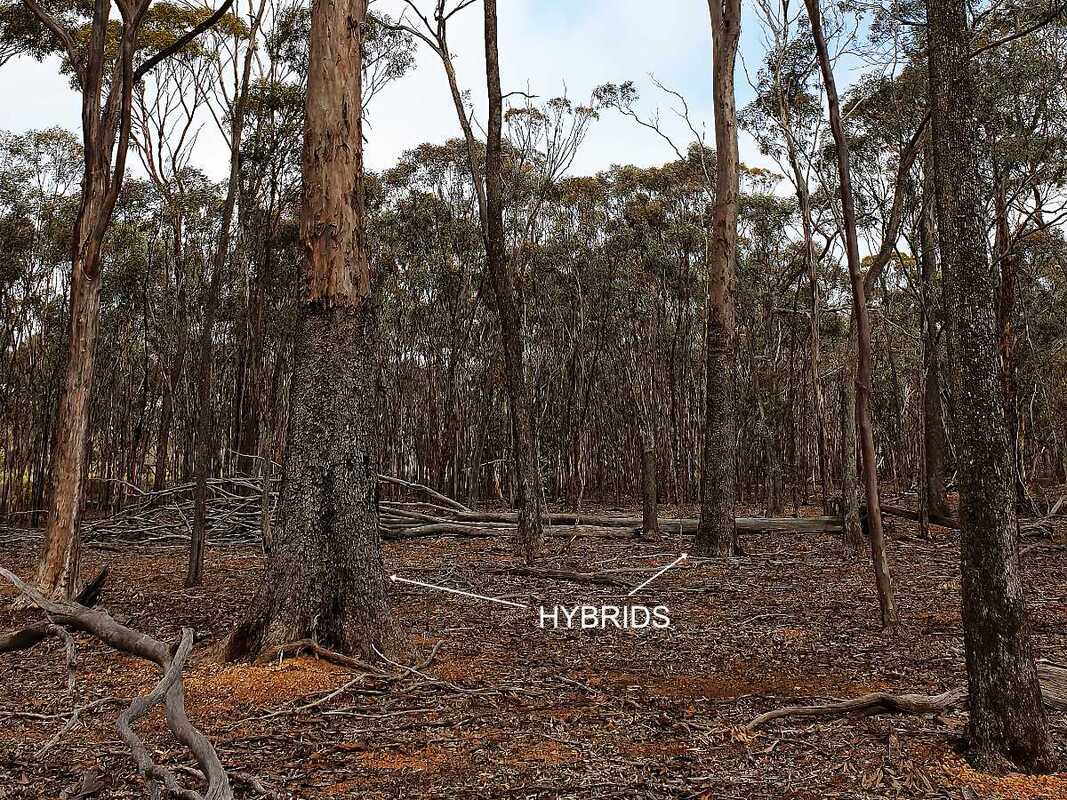
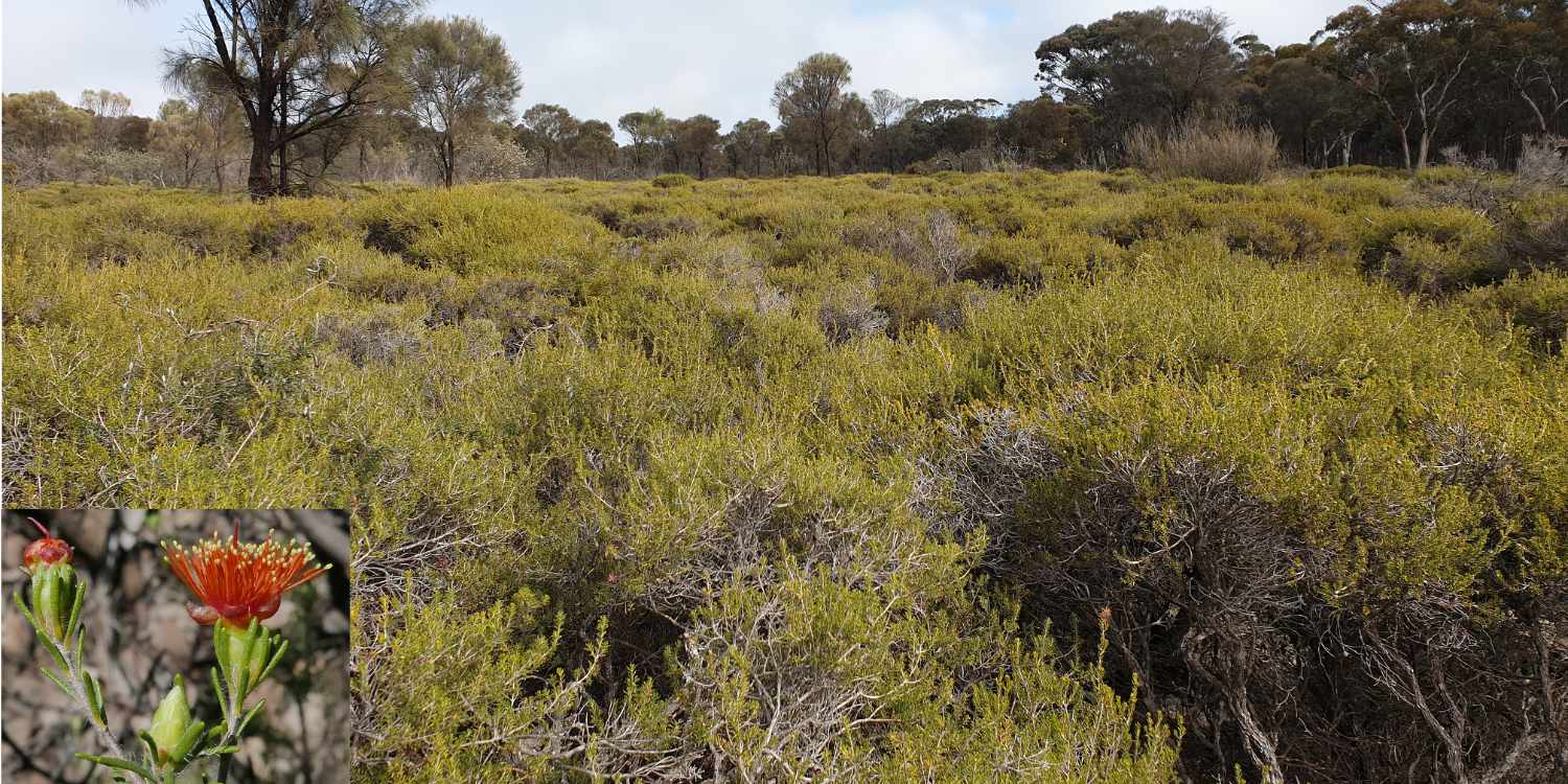
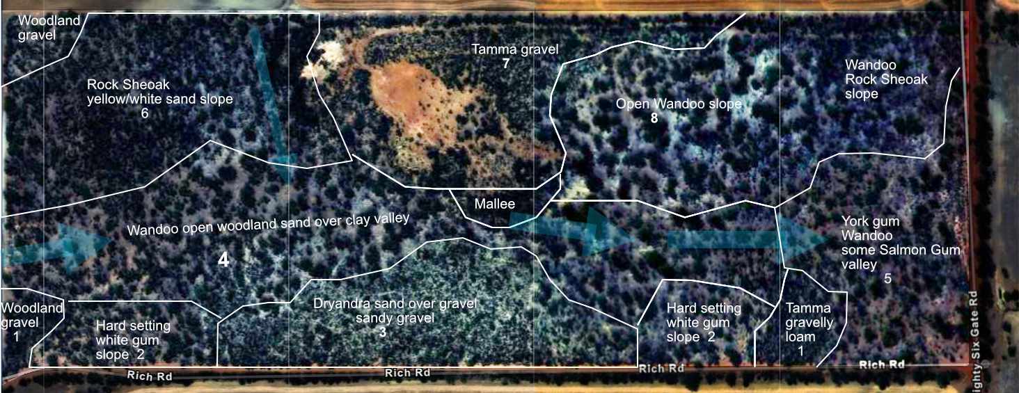
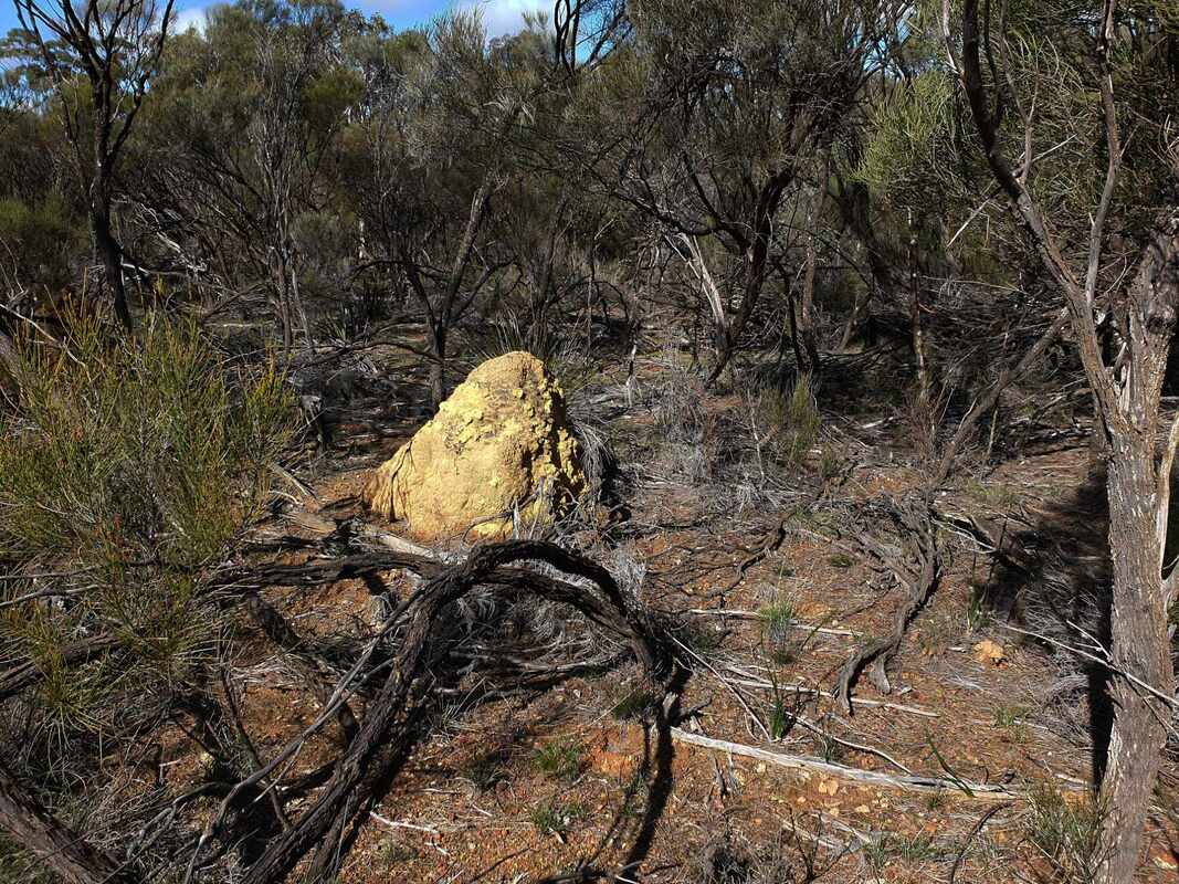
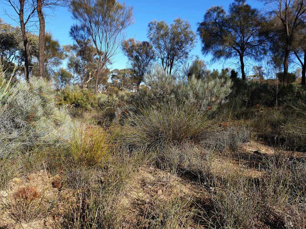
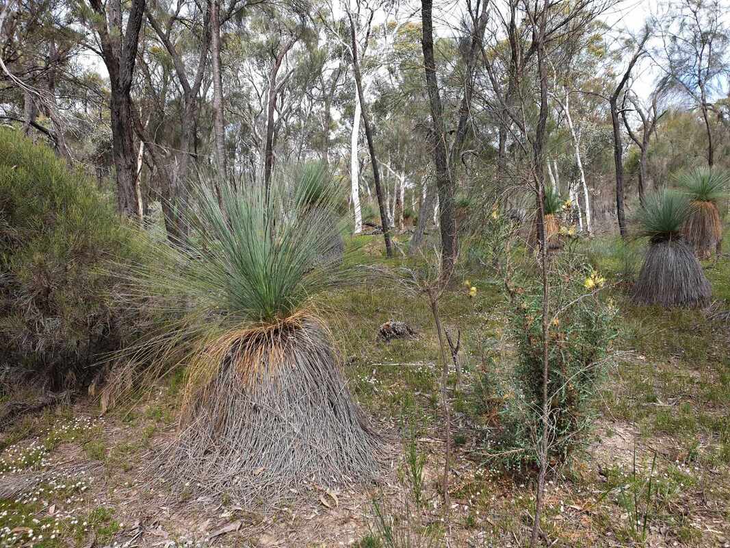
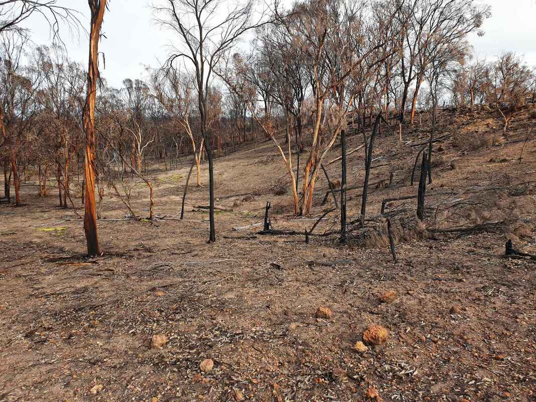
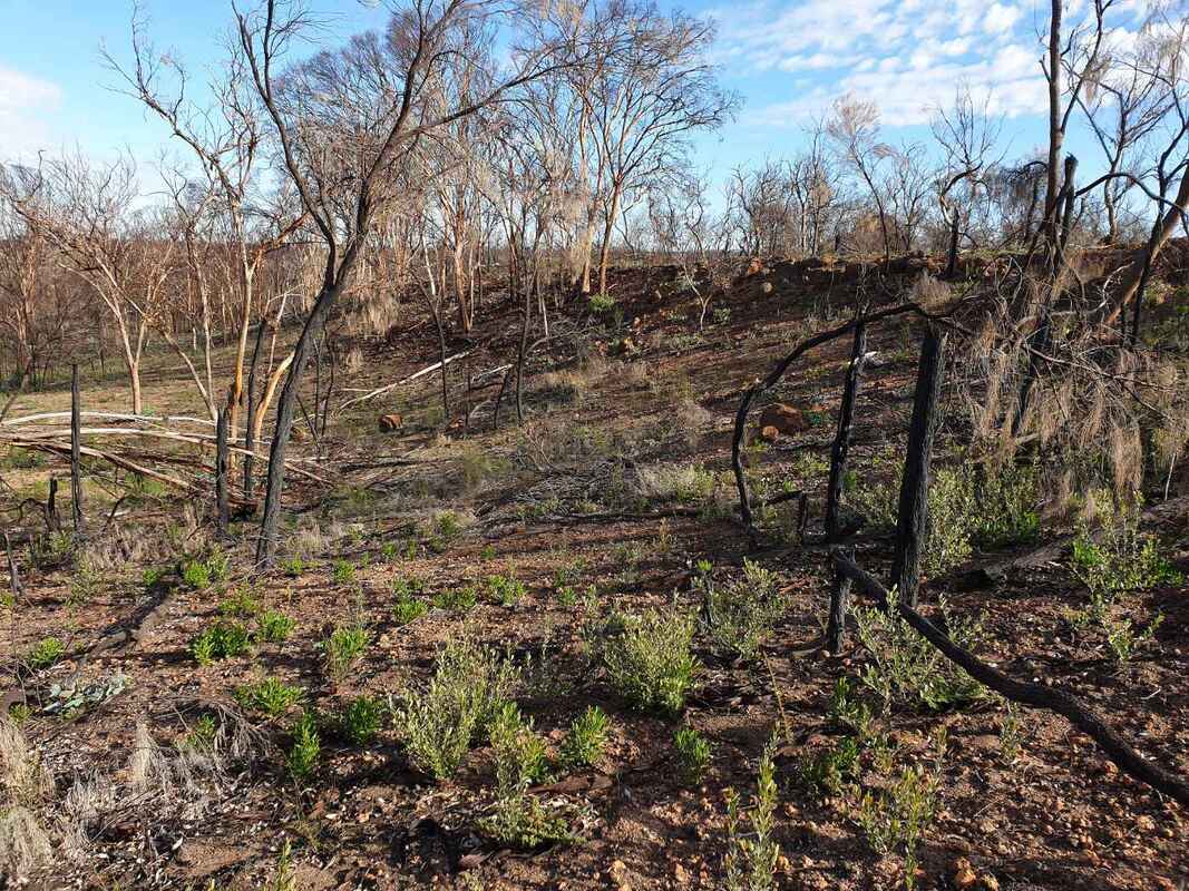
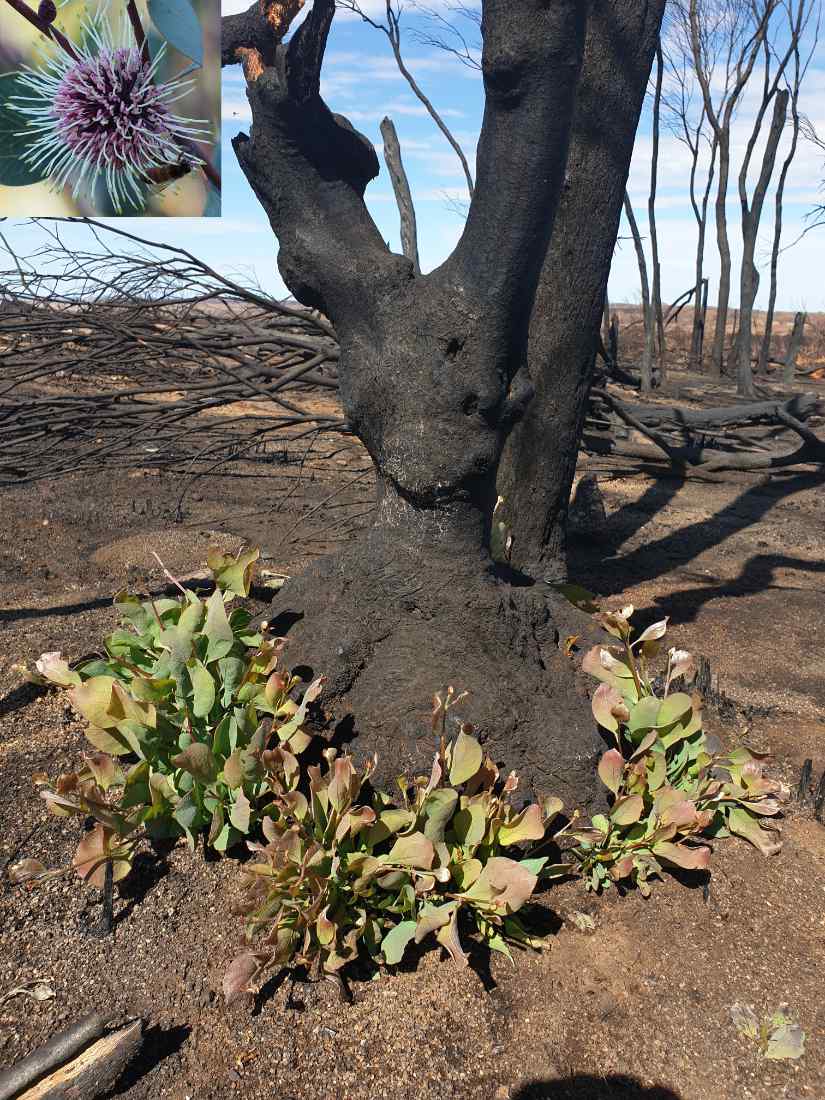
The ancient plain remnants are gravelly mesas, which are mostly bounded by steep-sided breakaways. Gravelly soil on the mesas has wildflower-rich often Proteaceae shrubland, which interspersed by wandoo, rock sheoak, and brown mallet woodland.
Hard setting loam and clay soils from the pallid/pink zone on breakaway slopes and upland surroundings downslope are mostly dominated by Brown Mallet woodland.
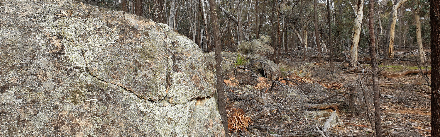
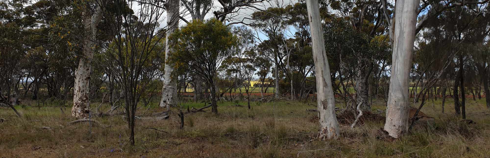
Open Wandoo woodland and more dense Rock Sheoak thickets in and around granite outcrops have more fertile soils formed from basement rock.
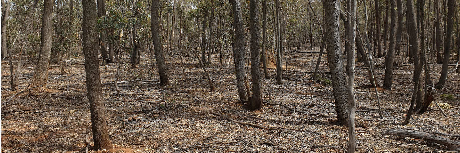
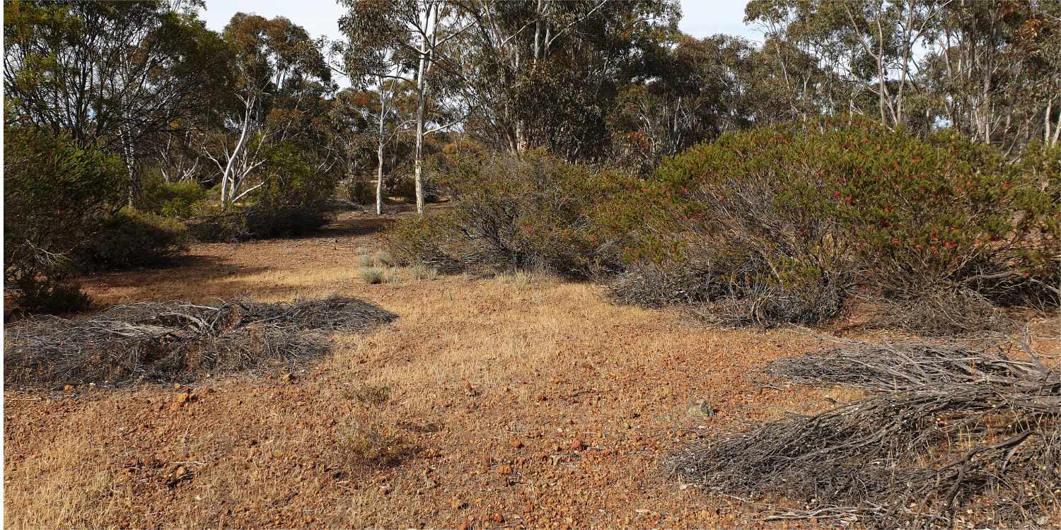
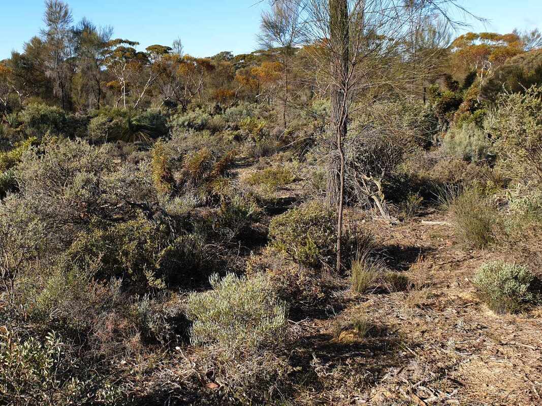
Much of the reserve is fairly easy walking country but there are no signposted walk trails and people with a poor sense of direction may get lost.
I suggest a visit to the following two areas.
Hard setting loam and clay soils from the pallid/pink zone on breakaway slopes and upland surroundings downslope are mostly dominated by Brown Mallet woodland.
Open Wandoo woodland and more dense Rock Sheoak thickets in and around granite outcrops have more fertile soils formed from basement rock.
Much of the reserve is fairly easy walking country but there are no signposted walk trails and people with a poor sense of direction may get lost.
I suggest a visit to the following two areas.
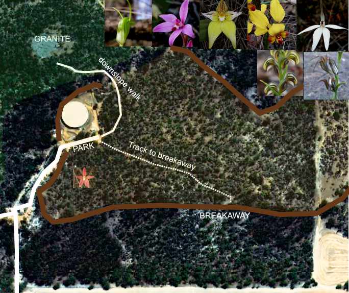 Water tank area
 1. WICKEPIN WATER WATER TANK
Park next to the water tank.
The tank has a capacity of 9 million litres, which is pumped through a pipe from the Harris River Dam near Collie. Constructed in 1964, the tank is part of a water network that is very important to the district. before this, salinity of land and water sources,which began in the early 1900's caused severe fresh water shortages for people and livestock. Before scheme water, Wickepin residents were dependant on local wells and in desperate circumstances, water from the Wickepin Railway Dam.
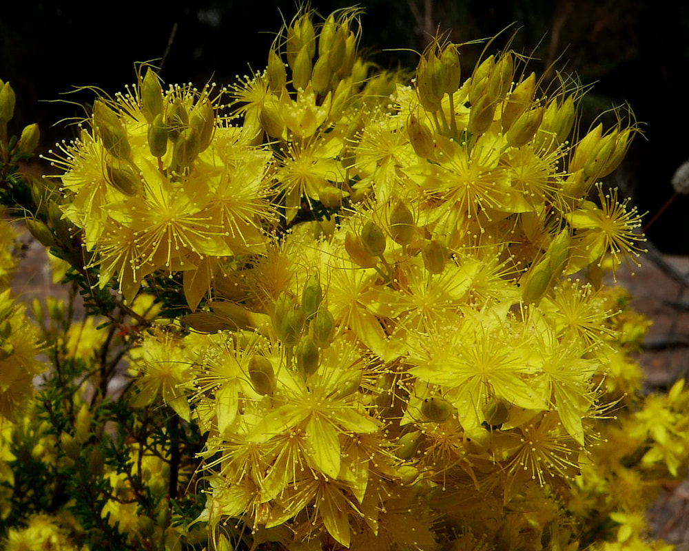
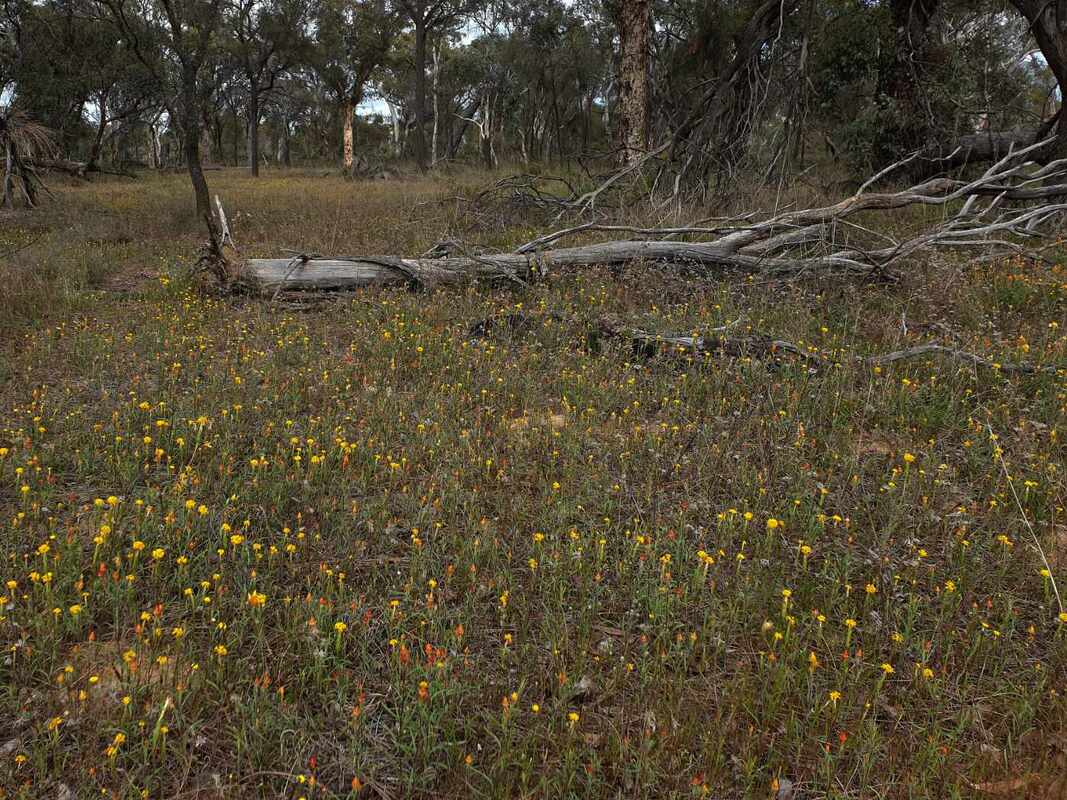
Two informal trails provide access to diverse and wildflower-rich country.
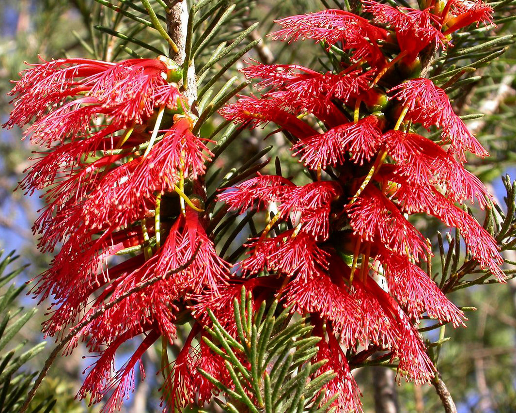
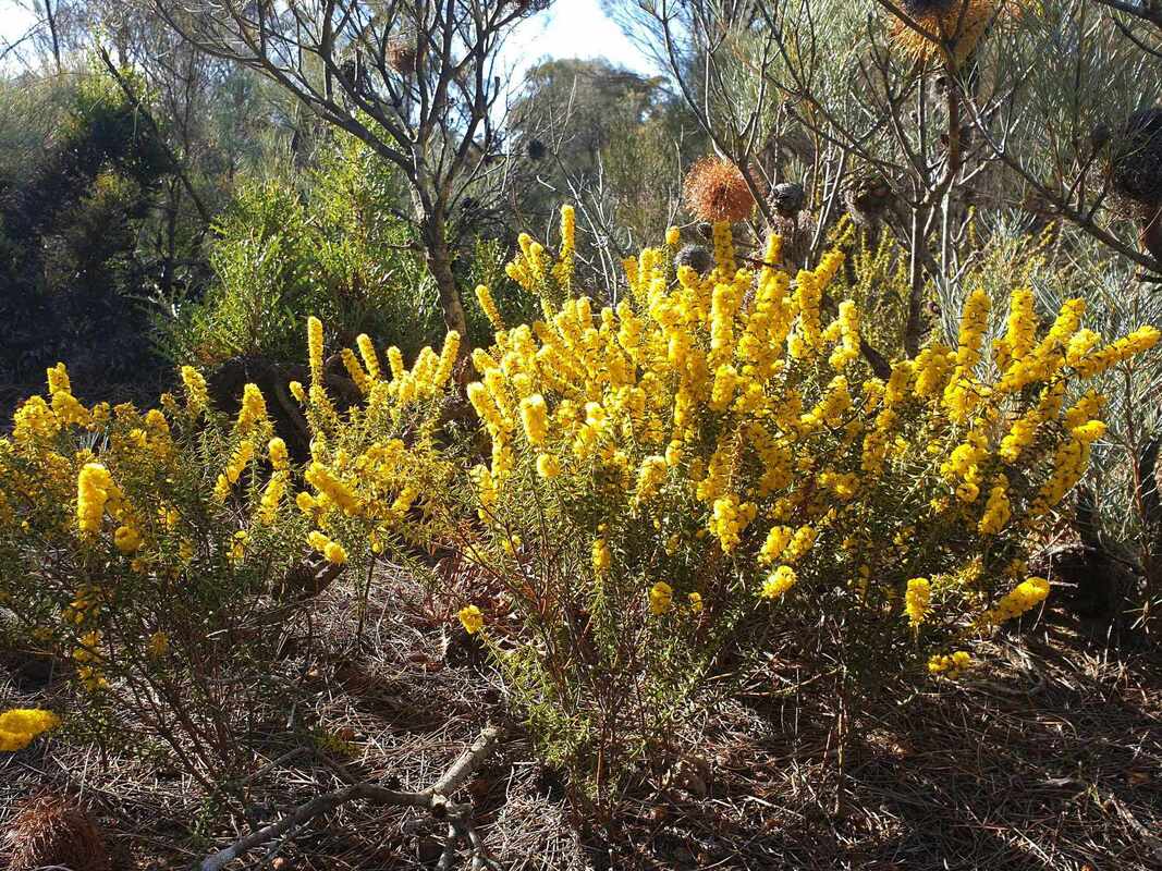
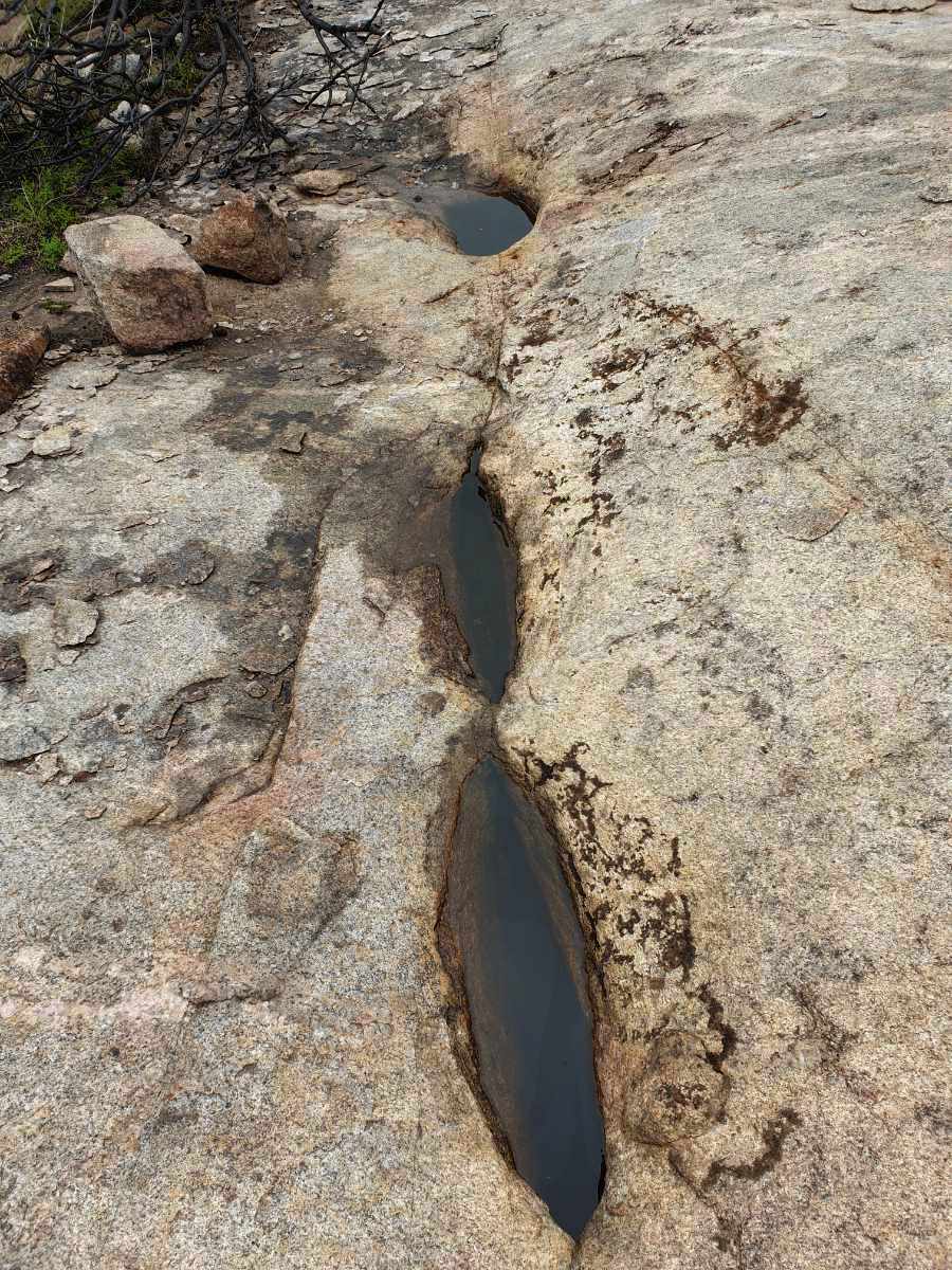
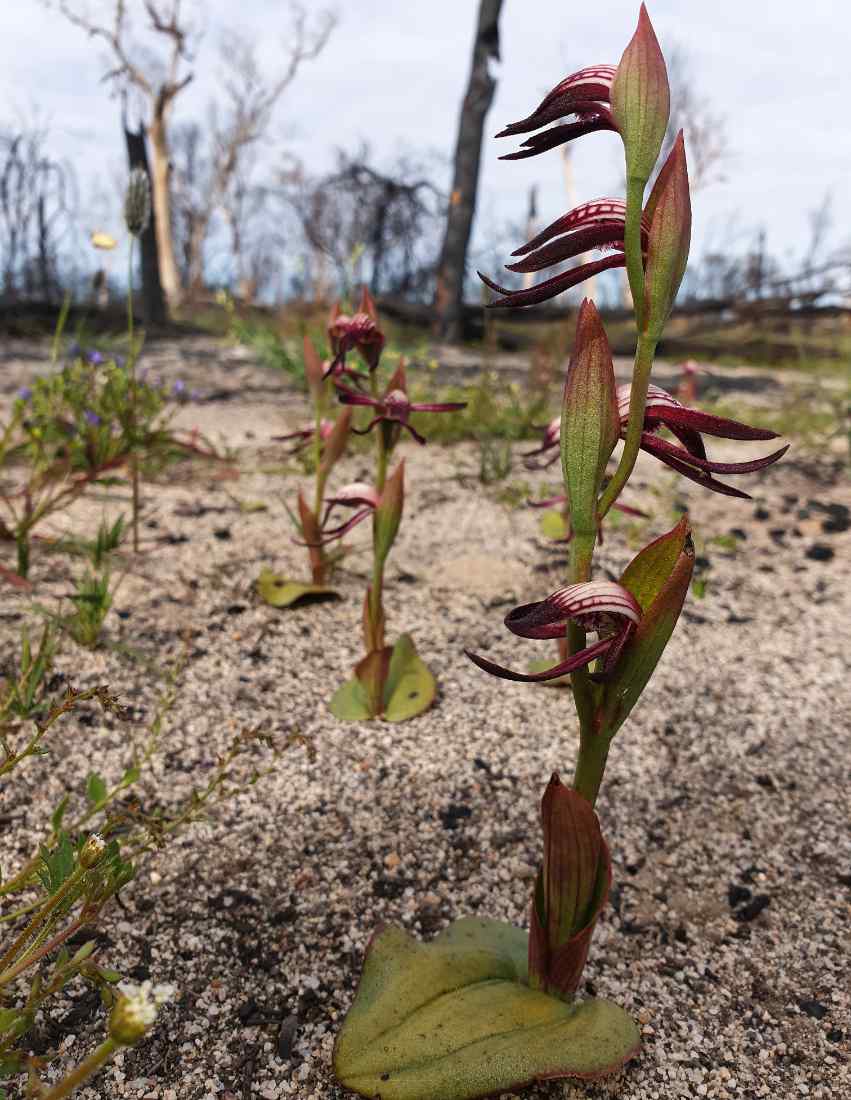
A track winding downhill around the water tank to a granite outcrop features a range of spring wildflowers. Note impressive Tangled Grevillea clumps. The granite outcrop is on the northern boundary of the reserve. Please avoid treading on delicate lichens in and around the rock.
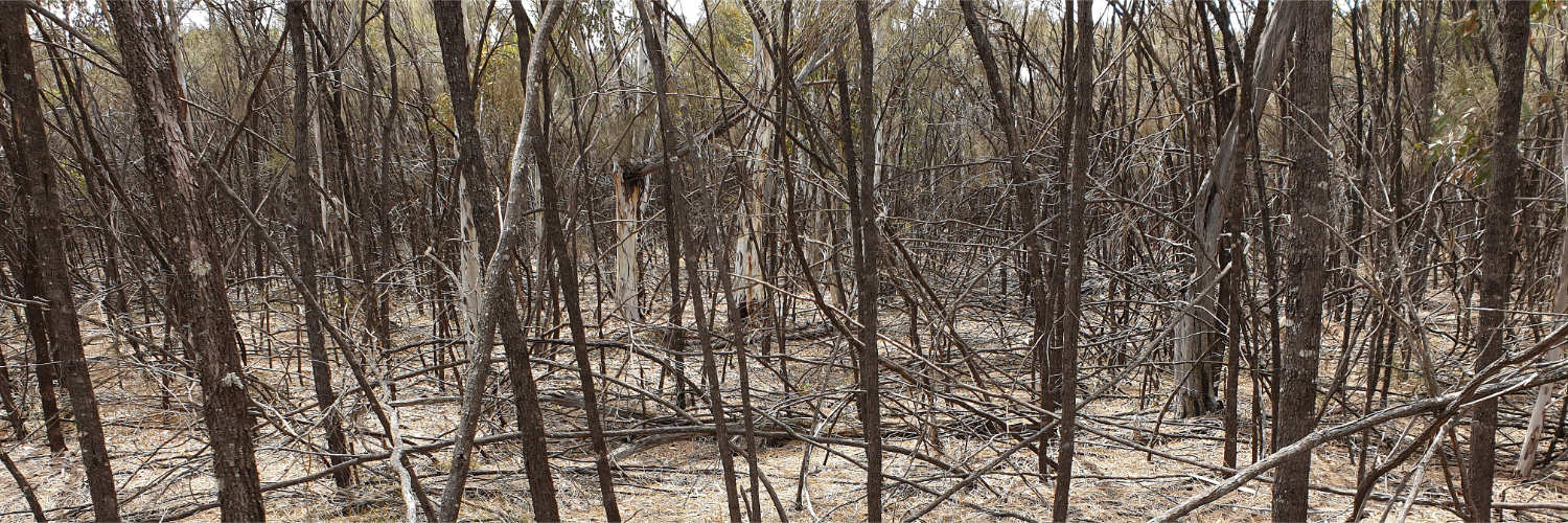
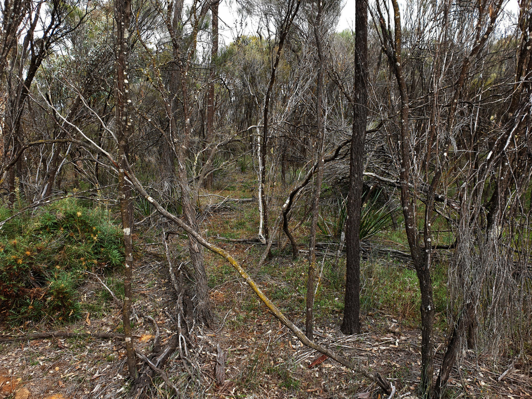
Surrounding rocky bushland is choked with dead vegetation and can be difficult to walk through.
Park next to the water tank.
The tank has a capacity of 9 million litres, which is pumped through a pipe from the Harris River Dam near Collie. Constructed in 1964, the tank is part of a water network that is very important to the district. before this, salinity of land and water sources,which began in the early 1900's caused severe fresh water shortages for people and livestock. Before scheme water, Wickepin residents were dependant on local wells and in desperate circumstances, water from the Wickepin Railway Dam.
Two informal trails provide access to diverse and wildflower-rich country.
A track winding downhill around the water tank to a granite outcrop features a range of spring wildflowers. Note impressive Tangled Grevillea clumps. The granite outcrop is on the northern boundary of the reserve. Please avoid treading on delicate lichens in and around the rock.
Surrounding rocky bushland is choked with dead vegetation and can be difficult to walk through.
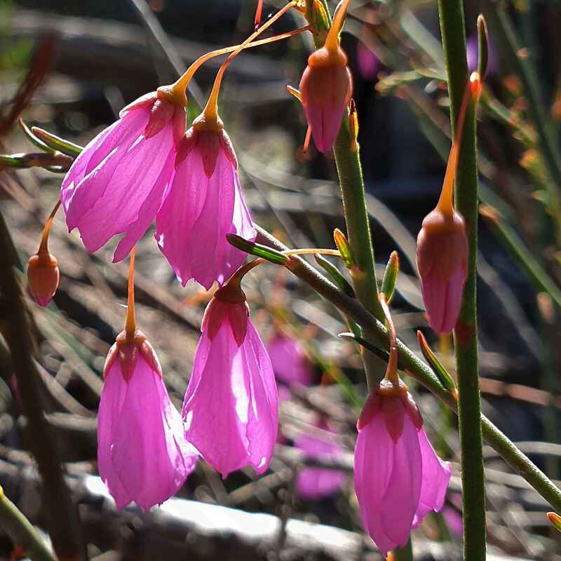
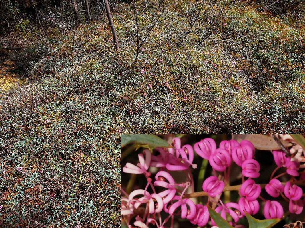 Grevillea leptobotrys Tangled Grevillea | 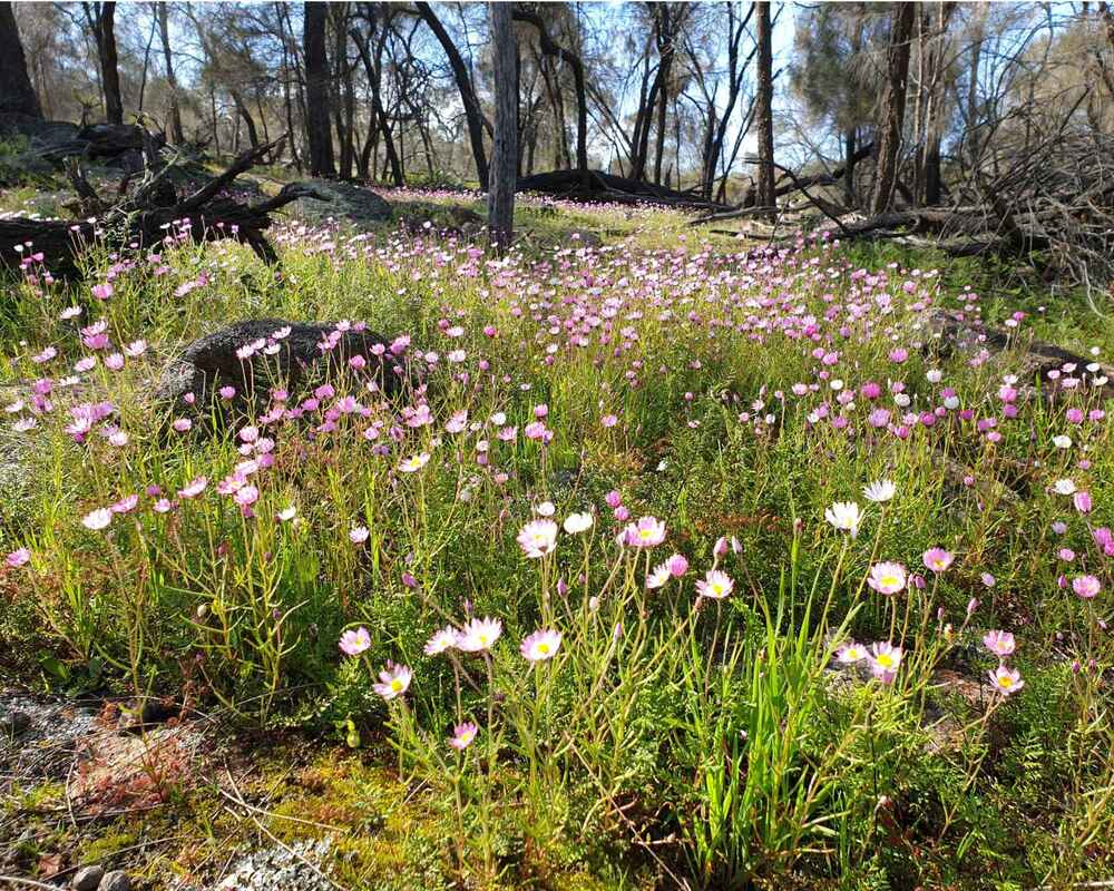 Lawrencella rosea | 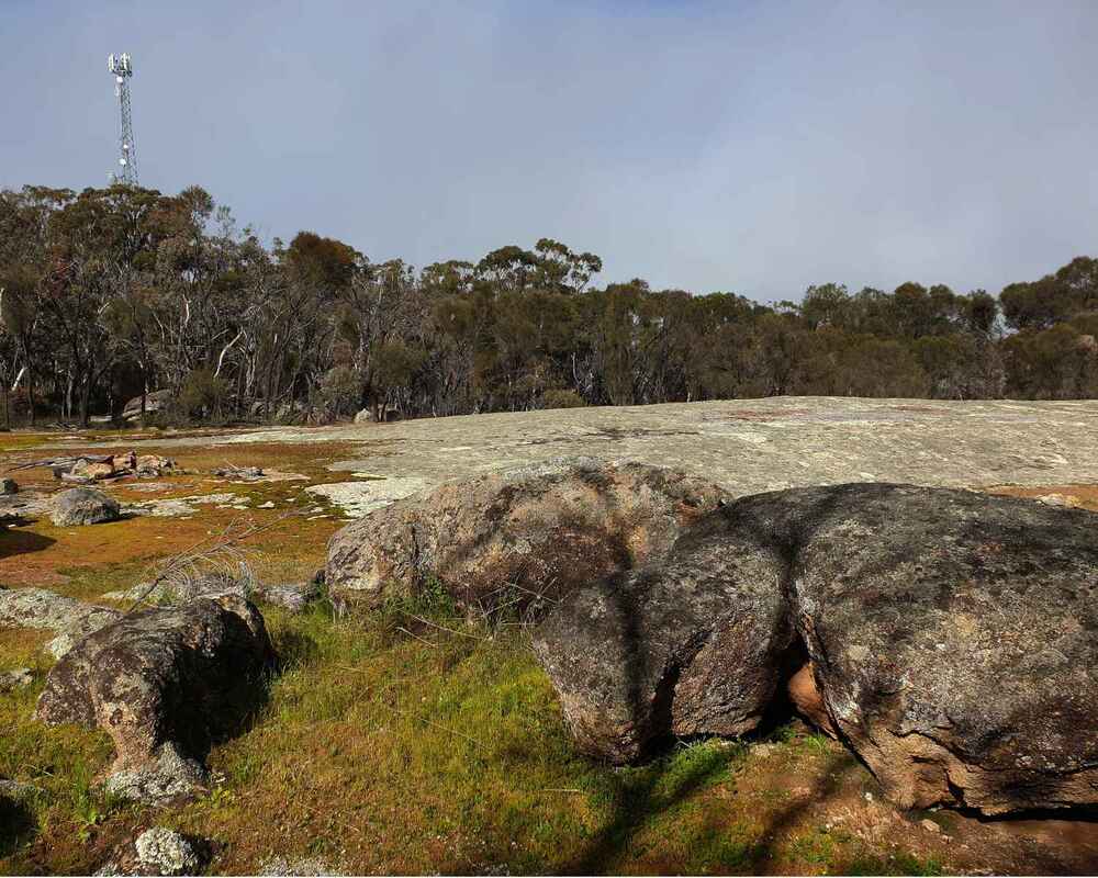 Granite outcrop |
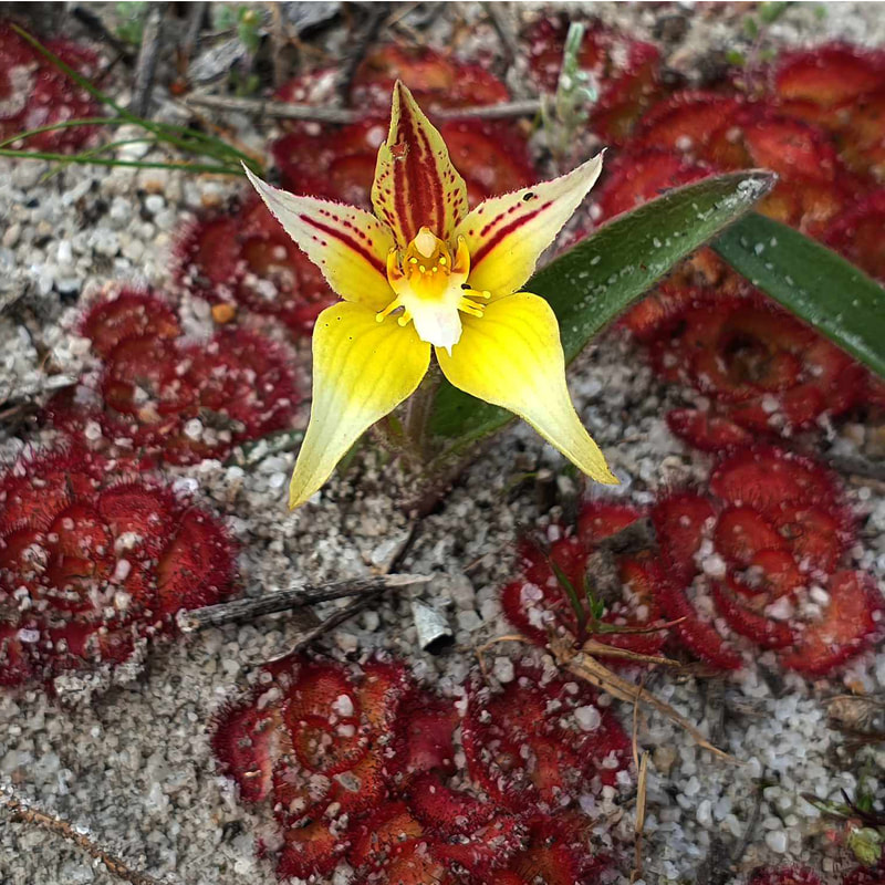
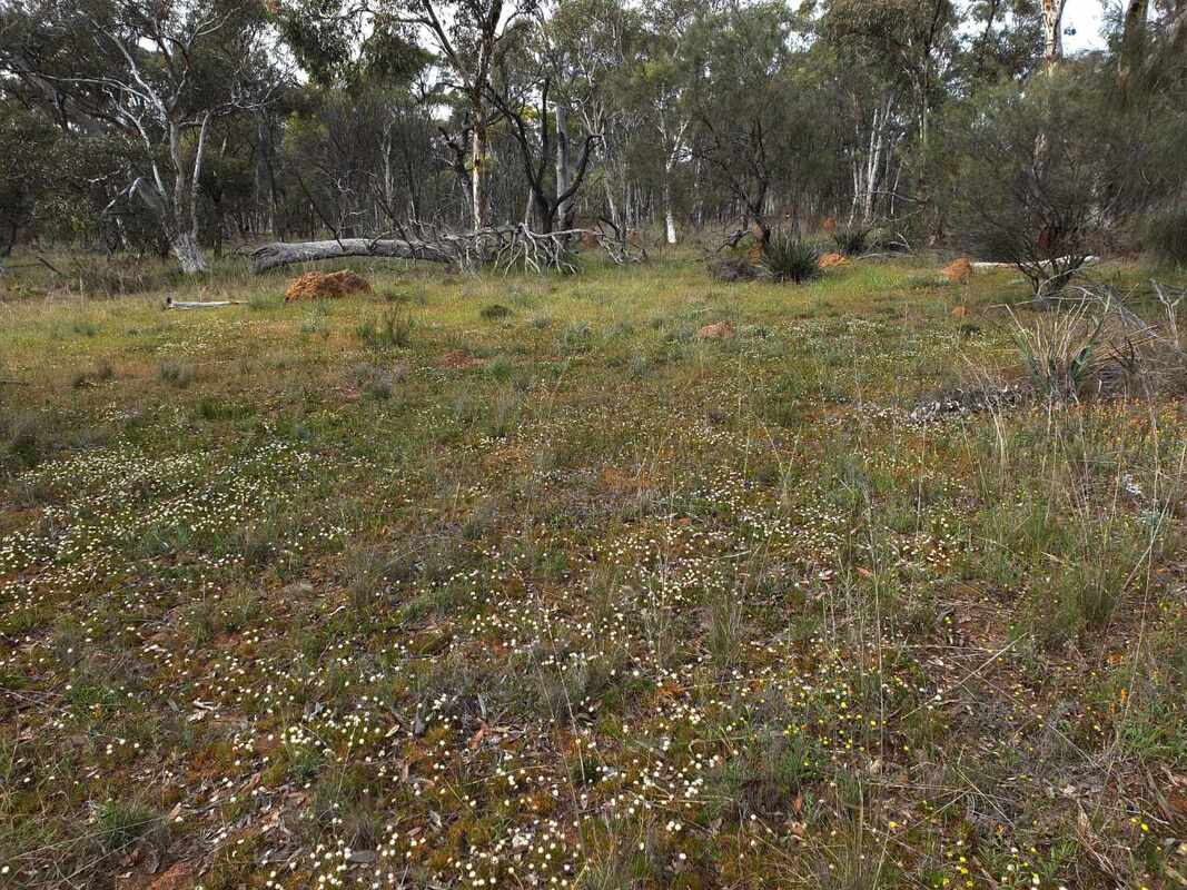
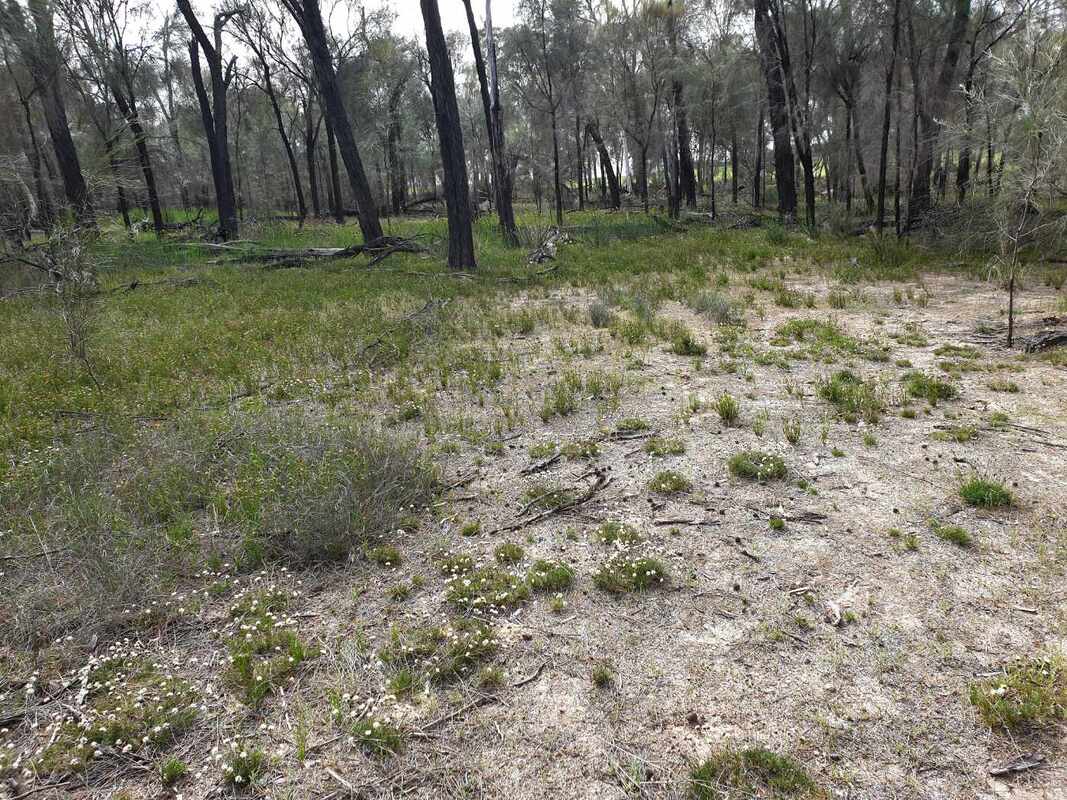
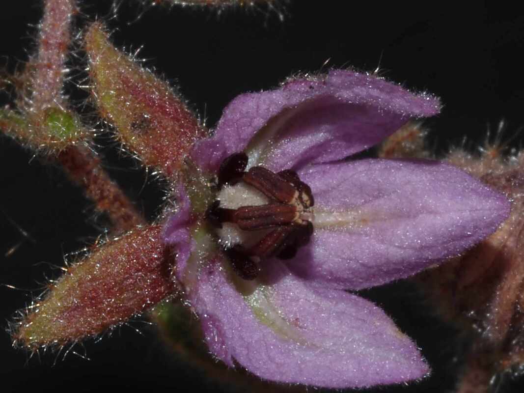
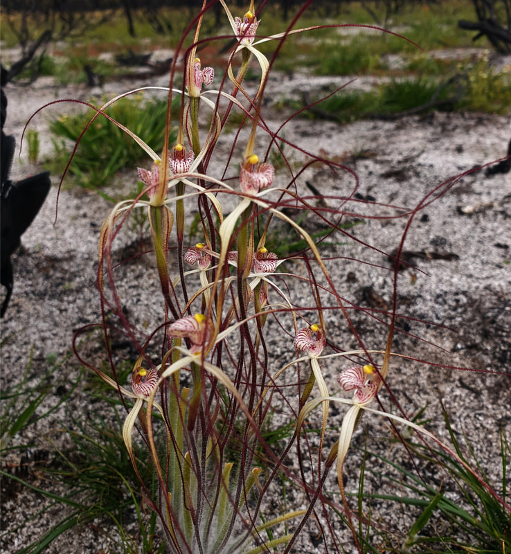
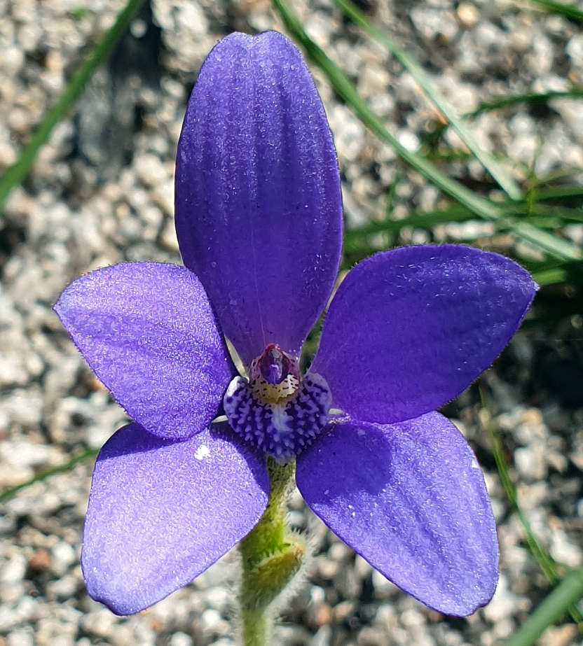
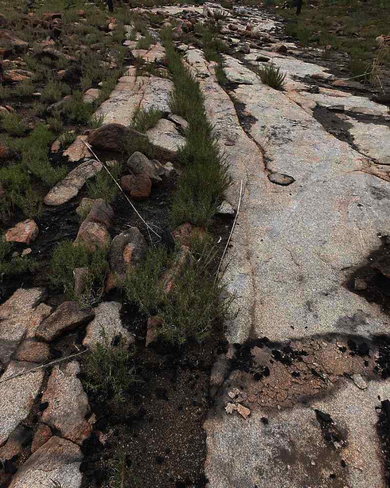
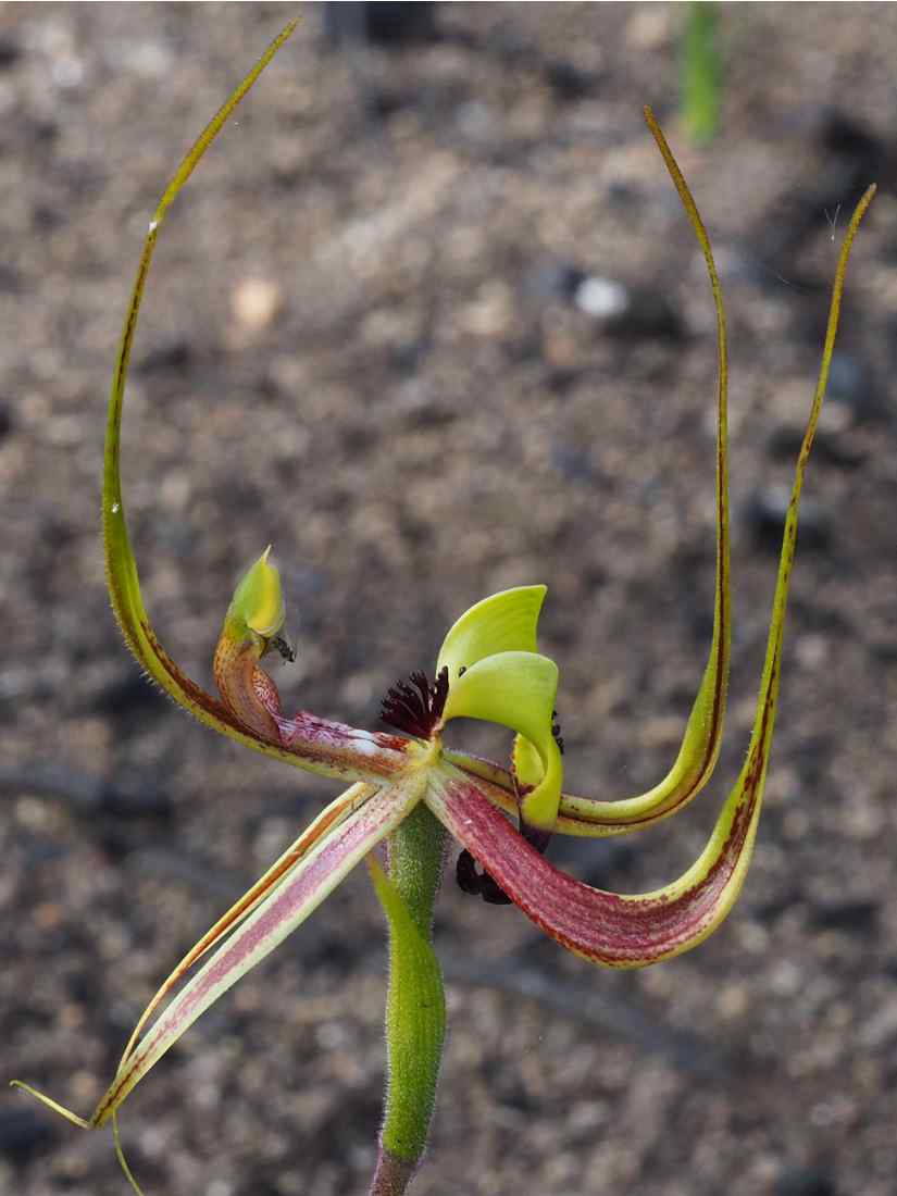
An easy walking informal track leads to the breakaway. This is pleasant gravel wildflower country. if you look carefully in land to the west, you may be lucky enough to see some Cowslip/Little PInk Fairy Orchid hybrids. Please leave them intact?- they are precious and uncommon.
 Tetratheca retrorsa on breakaway | 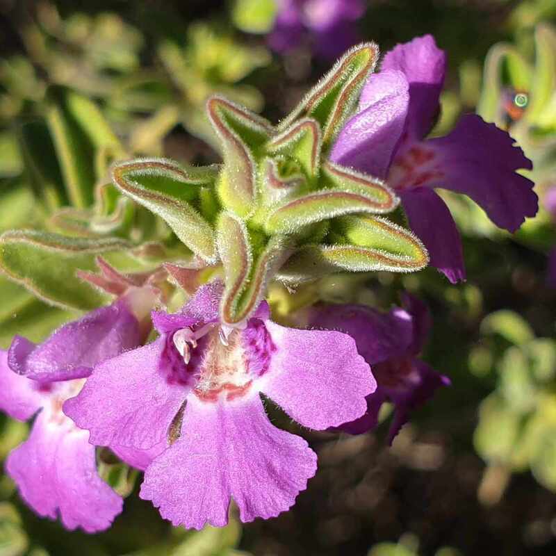 Hemiandra sp. | 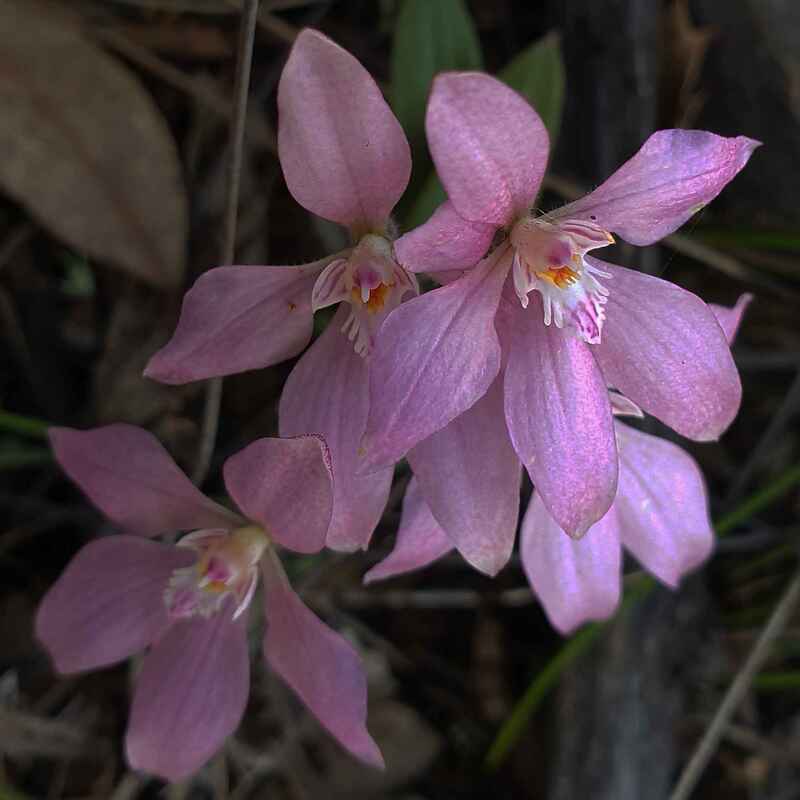 Cowslip/Little Pink Fairy hybrid |
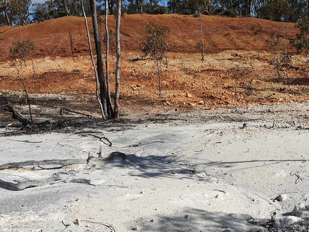
 Ochre foot fun
 2. CLAYPIT
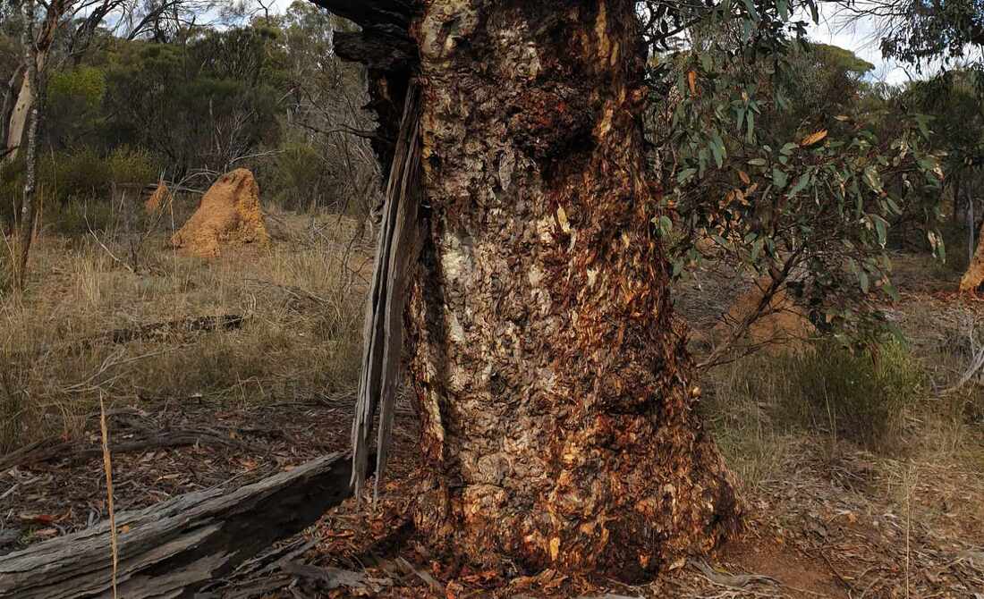
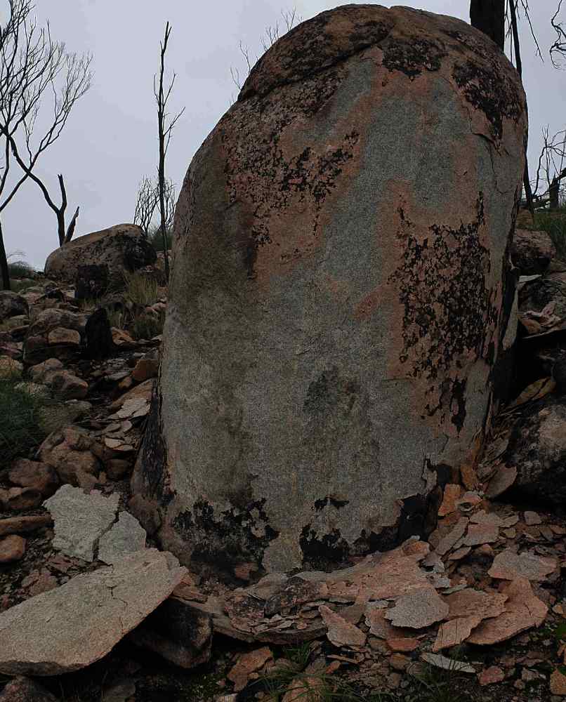
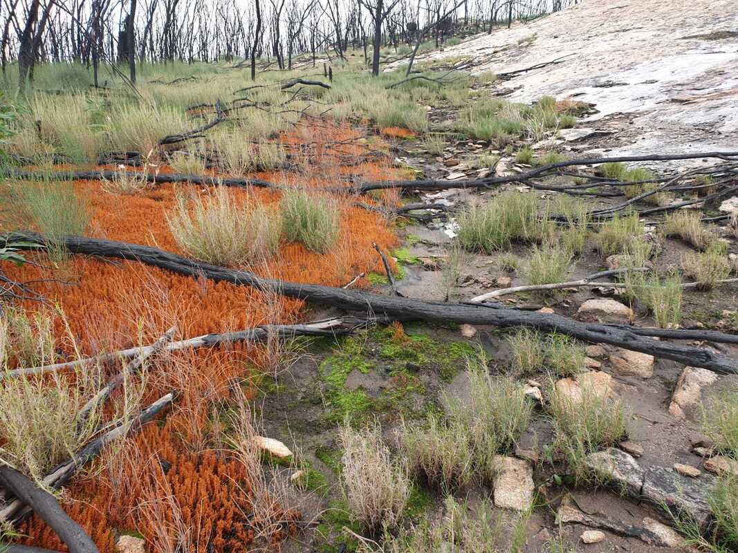
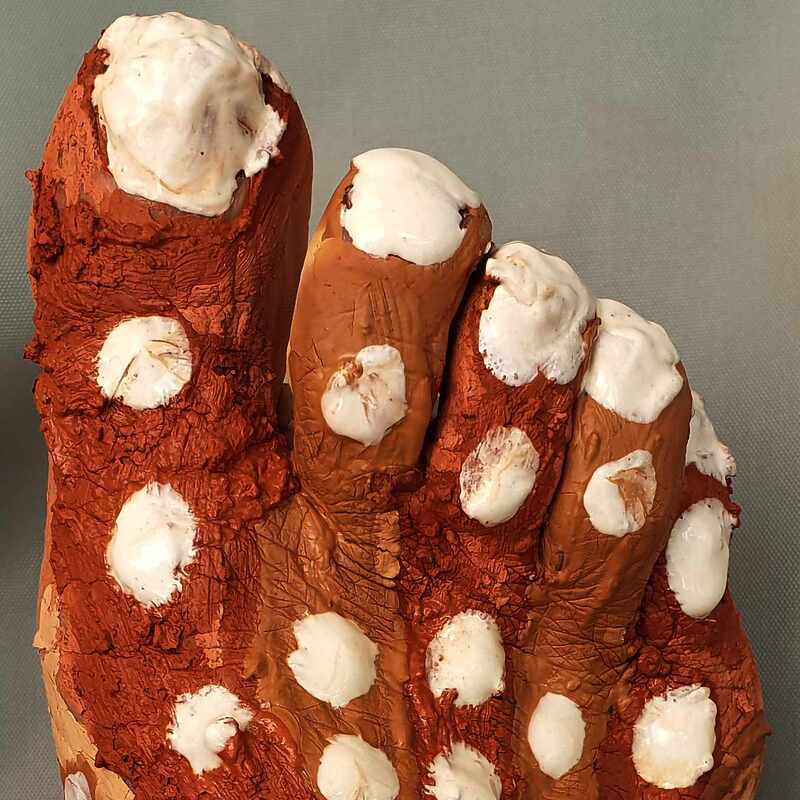
The bare area was an old mining lease to excavate clay for house bricks produced in Narrogin. The red clay overlies a 30 metre wide east-west dolerite dyke, and white from relatively low quartz granite, are also sources of ochre. I collected and made my own red, orange and white ochre from here!
An informal dead-end track on the western side is an easy walk to the west with a breakaway on the left (south) side. The area is pleasant open bushland with some shrub understorey.

 White granitic ochre front, red dolerite ochre in background | 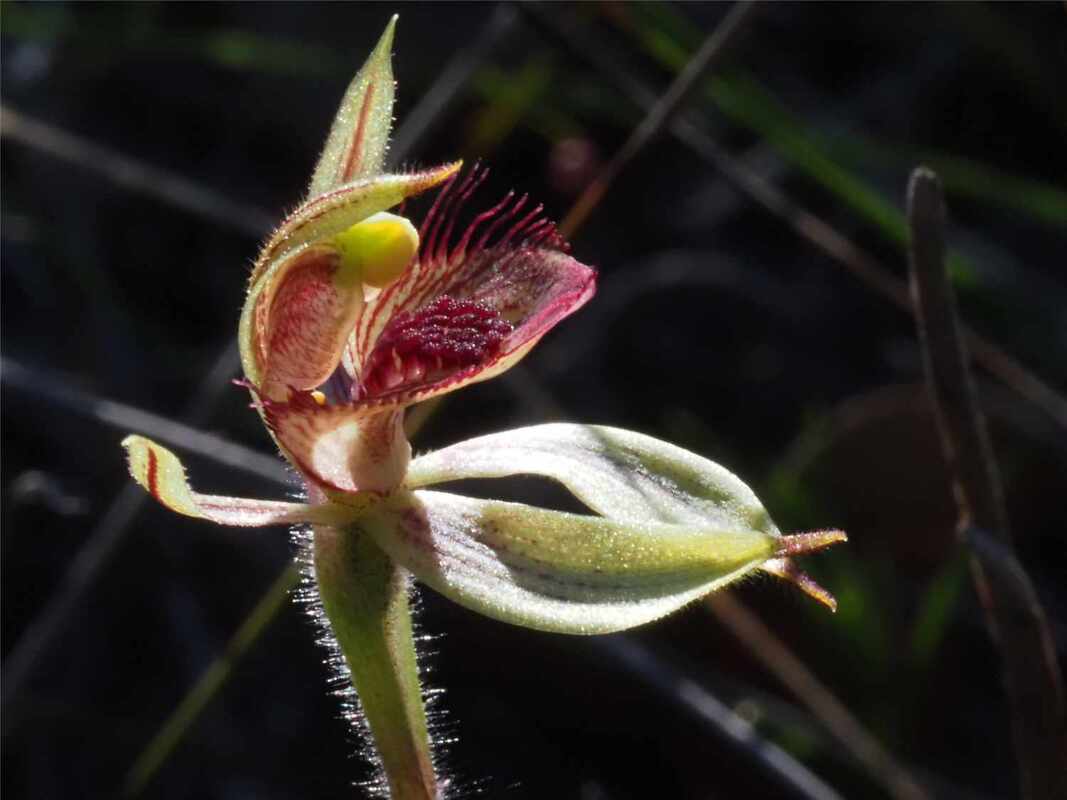 Very occasional Caladenia discoidea | 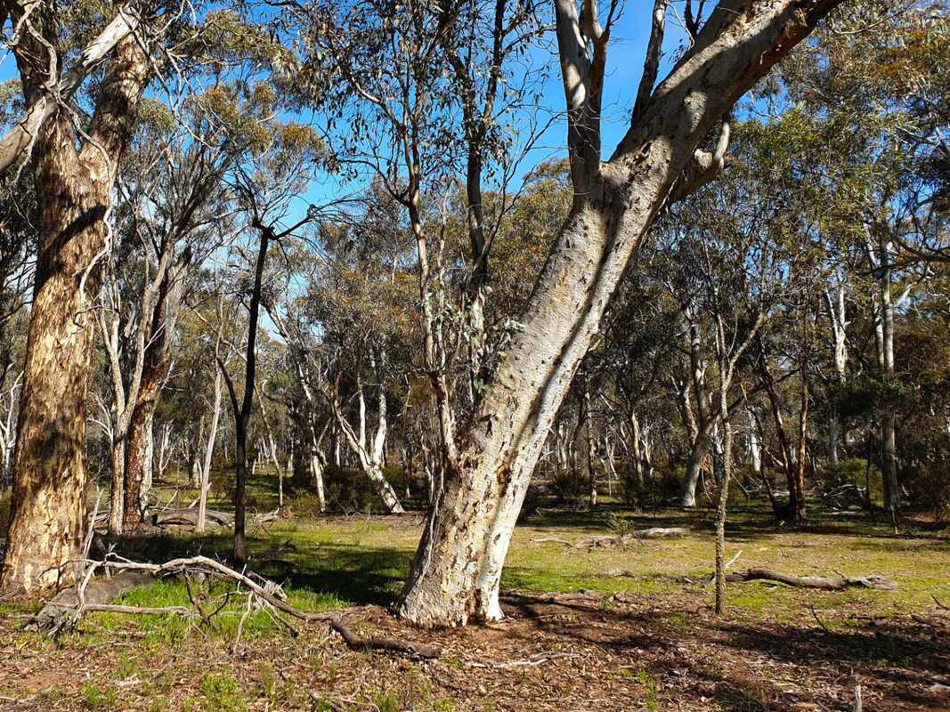 Open wandoo woodland |