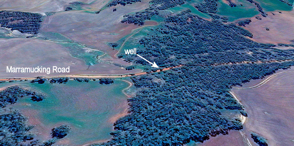
Greetings fellow Foxies,
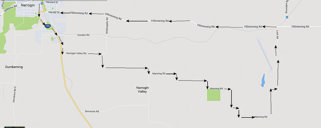
This tour features the unique Toolibin Lake with its reclamation program, bird life, picnic and toilet facilities, abundant spring orchids nearby; unusual wind deposited sandplain vegetation and some local history. Allow at least half a day for the round trip from Narrogin.
This tour features the unique Toolibin Lake with its reclamation program, bird life, picnic and toilet facilities, abundant spring orchids nearby; unusual wind deposited sandplain vegetation and some local history. Allow at least half a day for the round trip from Narrogin.
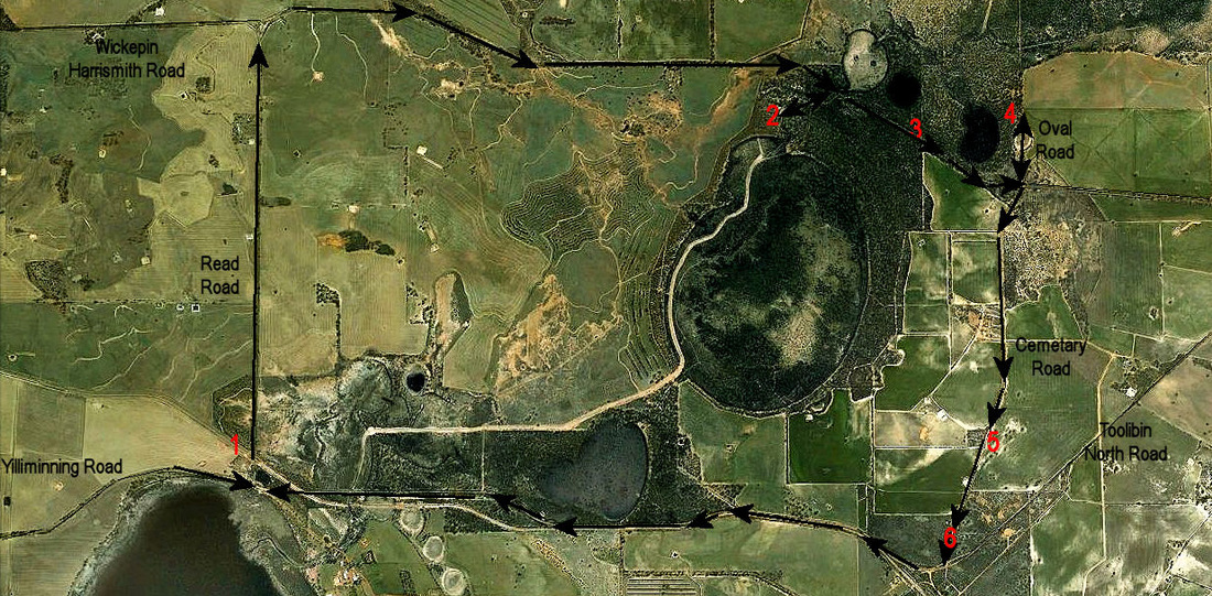
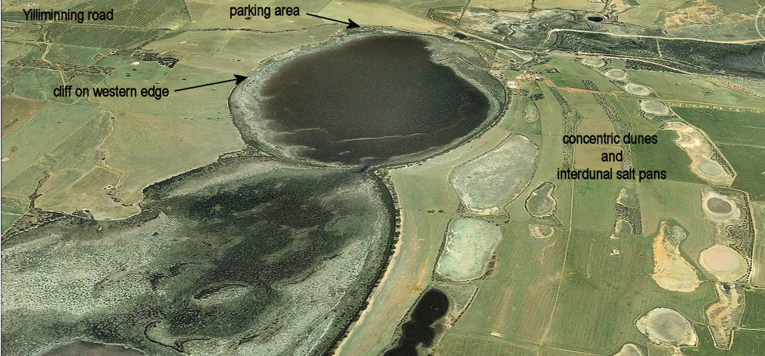
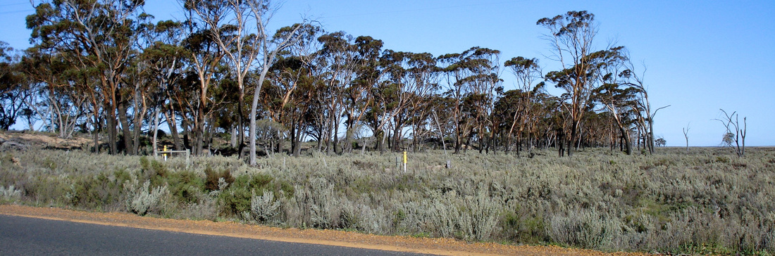
Stop 1 is the Lake Taarblin traffic bay on the right side of Yilliminning Road. This lake was fresh with salt sheoak and paperbark on the lake floor but it went saline in the 1950s. Salmon gum (alkaline clay soil), red morrel (higher salt well drained loams and loamy gravels), York gum (loamy soils formed from fresh rock) here are common in these valleys.
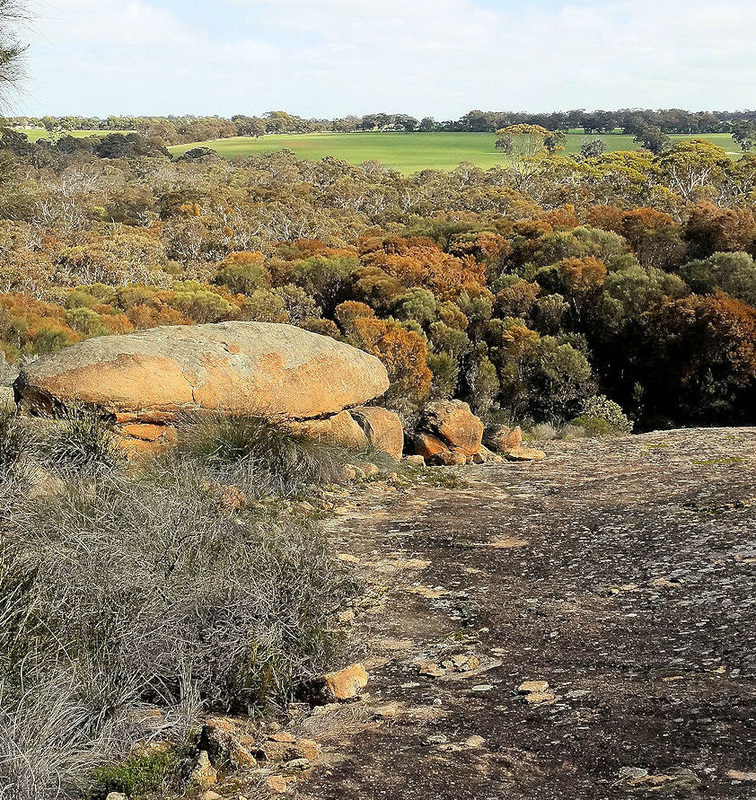
This is a typical western wheatbelt salt lake, with sand dunes on the eastern side and a cliff on the west.
This is a typical western wheatbelt salt lake, with sand dunes on the eastern side and a cliff on the west.
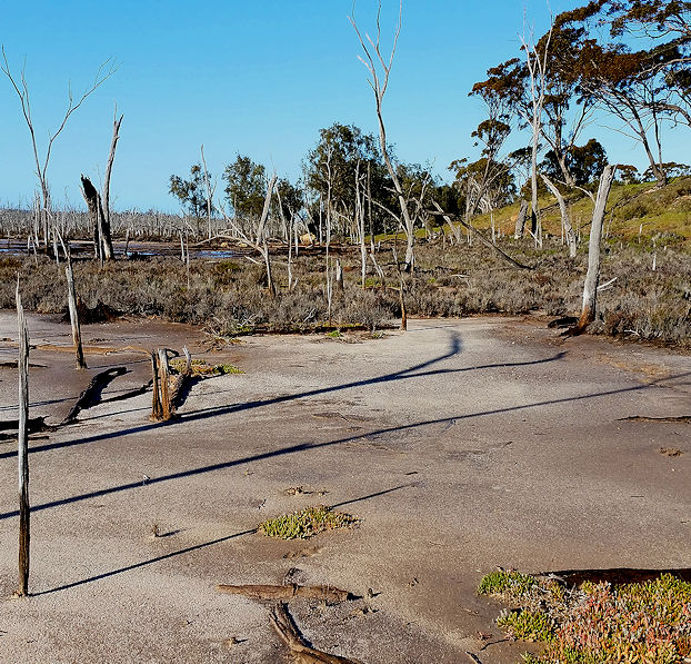 Cliff on western edge of the lake | 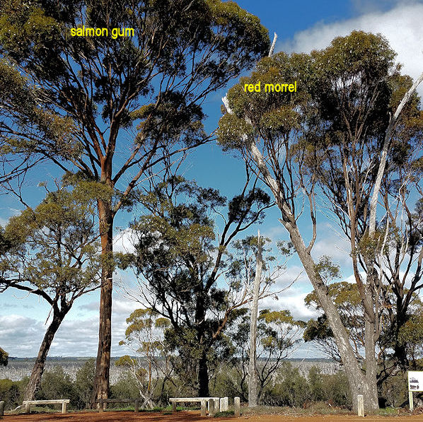 Parking bay overlooking lake Taarblin |
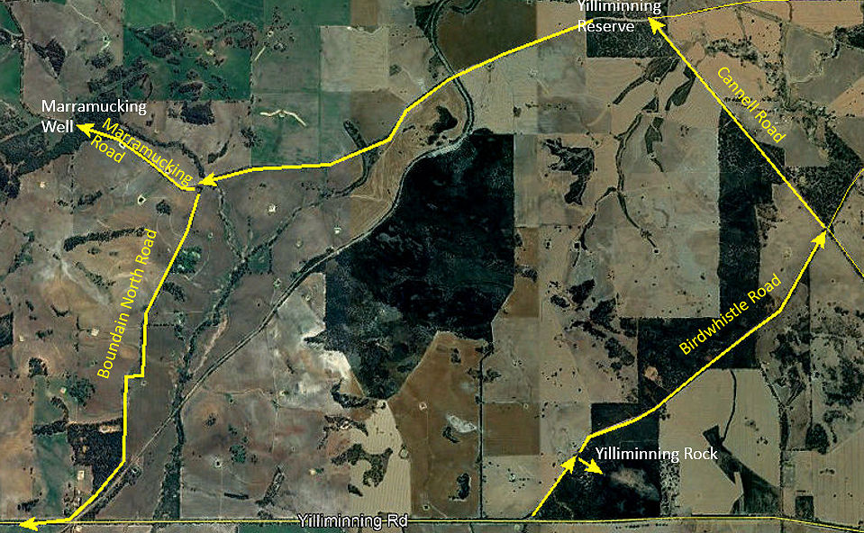
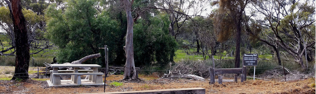
After leaving this spot turn right on to Yilliminning road and then left at Read road. The soils in this area were amongst the earliest taken up by local farmers. The farm house on the left about 4kms up this road is the original location for the Albert Facey’ house that is now in Wickepin town. Turn right at the T-junction and right again at the entrance to Lake Toolibin (Stop 2) and drive through York gum woodland and paperbark wetland to the car park.
This is the access point for a picnic area with gas BBQ, toilet, an interpretive centre and walk, and bird watching.
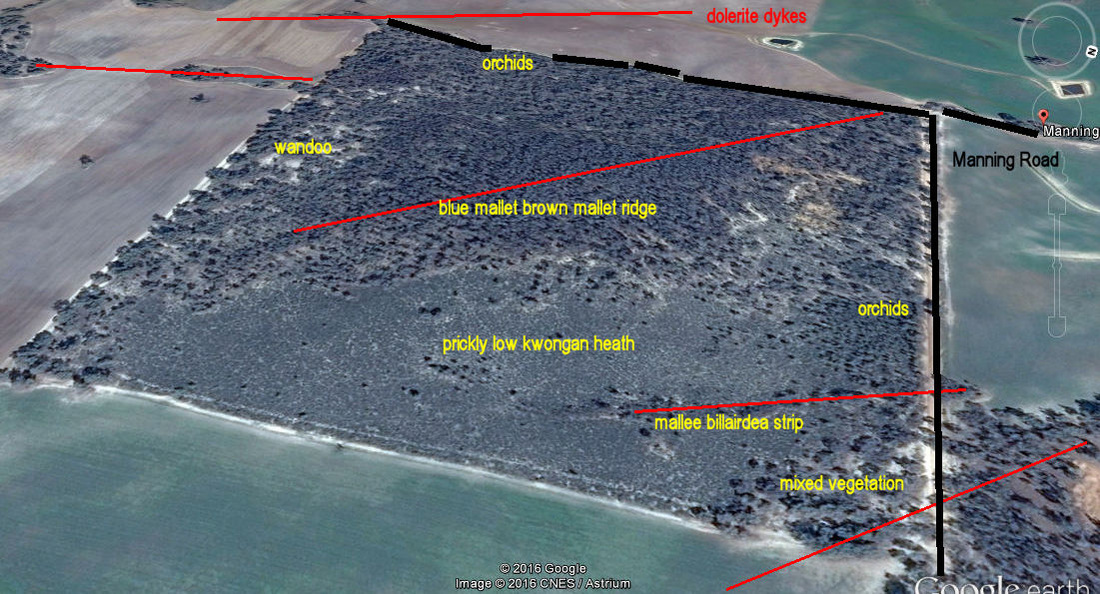
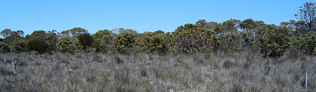
The 300 hectare lake is one of the last examples of a vegetated wetland lake left in the wheatbelt. Toolibin is an ephemeral or seasonal wetland that filled on average every 3 years from the 1960’s to the 1990’s). This cycle of wetting and drying has formed a wooded wetland with large stands of Melaleuca strobophylla paperbark and salt sheoak across the floor of the lake that provided an excellent breeding and feeding habitat for migratory waterbirds when the lake was full.
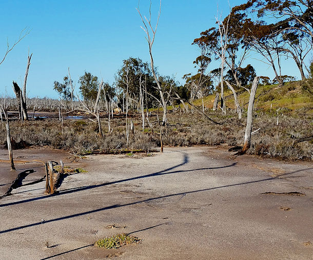
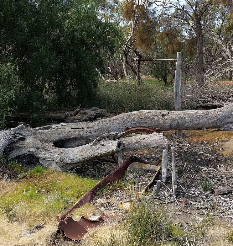
Agricultural land clearing has caused the rise of saline groundwater and associated salinity that resulted in bare salt lakes with dead trees like Taarblin.
Toolibin was steadily deteriorating until a recovery plan was prepared and a huge amount of investigation and work
This is the access point for a picnic area with gas BBQ, toilet, an interpretive centre and walk, and bird watching.
The 300 hectare lake is one of the last examples of a vegetated wetland lake left in the wheatbelt. Toolibin is an ephemeral or seasonal wetland that filled on average every 3 years from the 1960’s to the 1990’s). This cycle of wetting and drying has formed a wooded wetland with large stands of Melaleuca strobophylla paperbark and salt sheoak across the floor of the lake that provided an excellent breeding and feeding habitat for migratory waterbirds when the lake was full.
Agricultural land clearing has caused the rise of saline groundwater and associated salinity that resulted in bare salt lakes with dead trees like Taarblin.
Toolibin was steadily deteriorating until a recovery plan was prepared and a huge amount of investigation and work

Works include:
- Creation of a separator channel that drains salt water flows to Taarblin, but diverts fresh water into Toolibin.
- Pumping saline groundwater from the lake bed and discharging it in Taarblin.
- Revegetation of large areas of salt-risk soil in the catchment.
- Draining the saline wetlands above Toolibin to reduce salt accumulation.
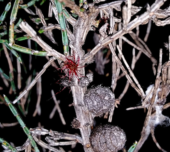
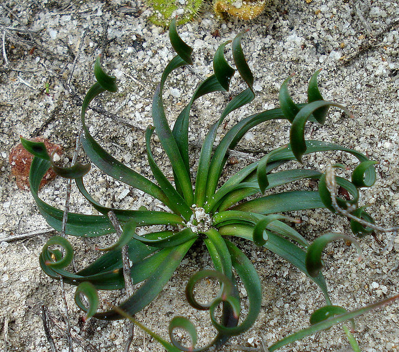
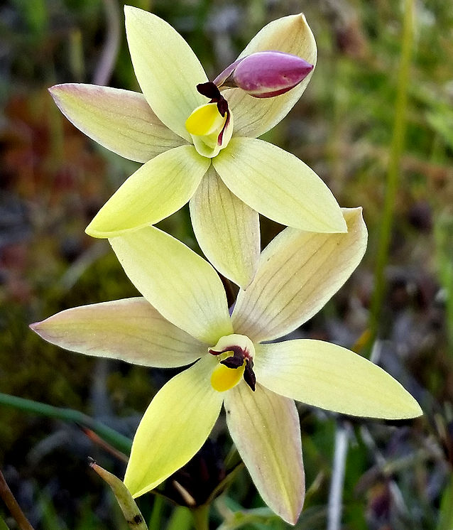
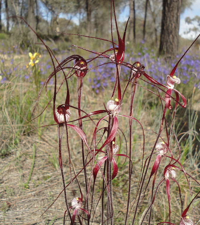
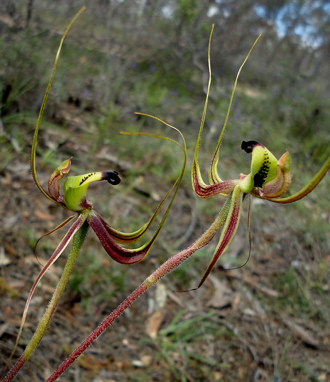
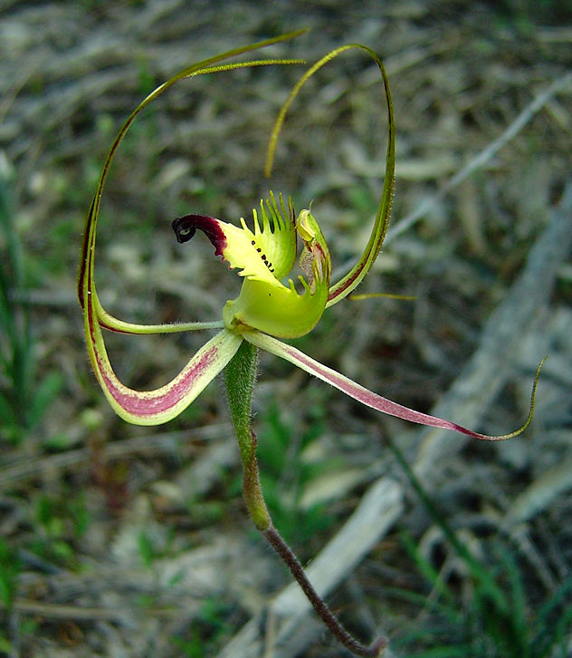
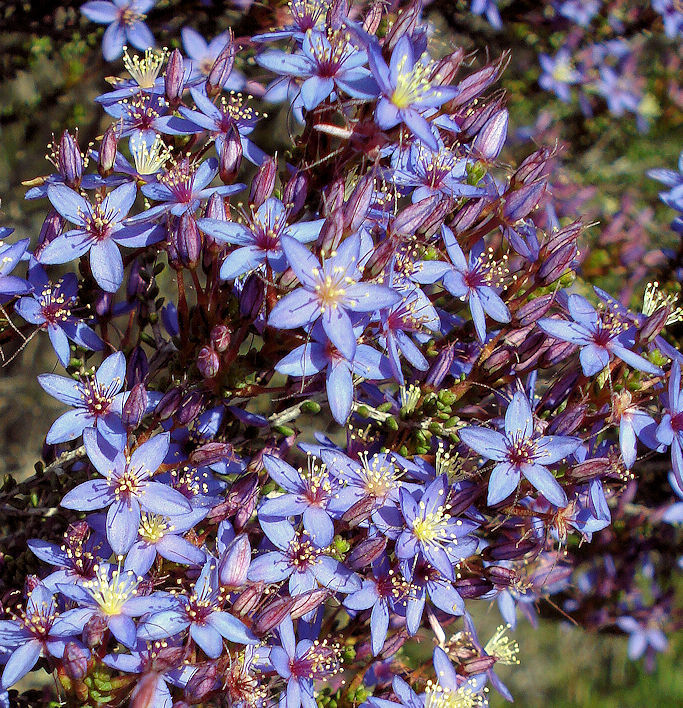
When you return to the Wickepin Harrismith road turn right and drive east for about 400 metres then park at a safe place on the side of the road (Stop3). This is a very orchid-rich area from July (greenhoods), September (spiders and others) to mid-October (sun orchids). Depth of sand over the clay varies greatly along the road here, ranging from Banksia prionotes (deep sand) to York gum (shallow) and broom bush melaleuca (winter wet), that have different understorey plants.
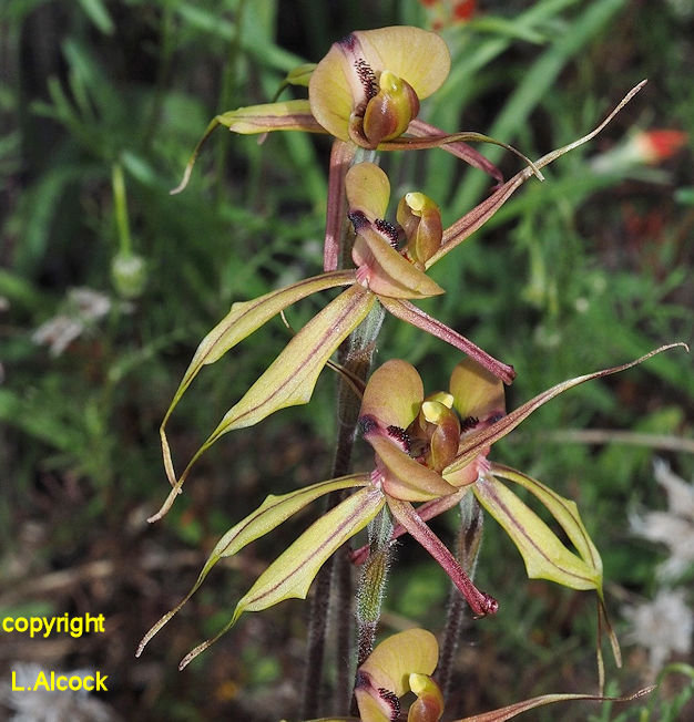 Purple-veined pider orchid Caladenia doutcheae | 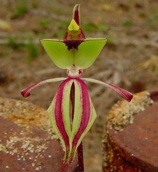 Ant orchid Caladenia roei |
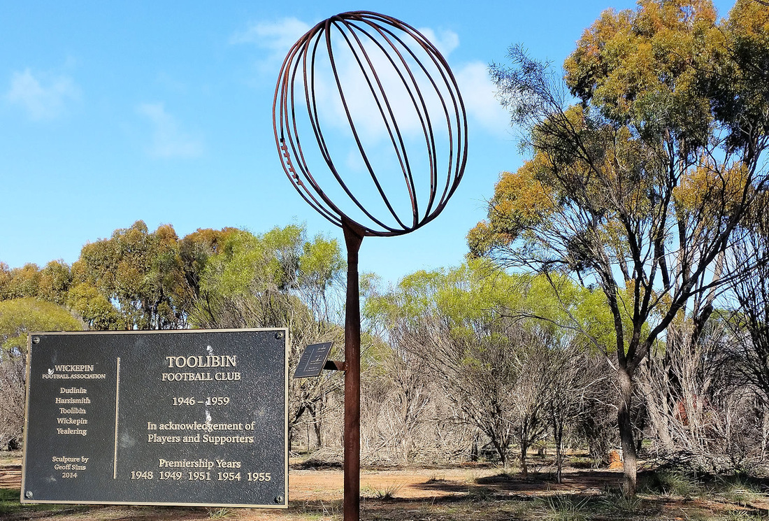
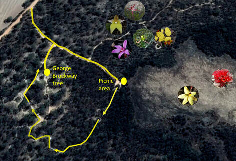
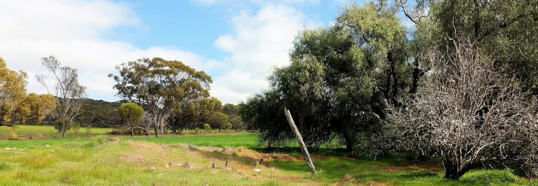
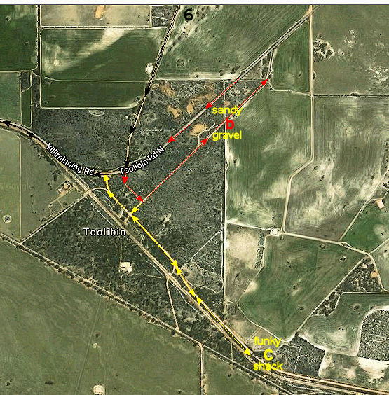
Shortly after this stop is a gravel cross road. Turn left up Oval road, past Oval Lake to the sculpture on the left upslope. This marks the site of the Toolibin football oval (Stop 4) that has returned to bush. Return to the Wickepin Harrismith road and cross over on Cemetery road.
The landscape changes to a smooth sand covered slope, due to very strong north-west winds blowing sand from the lake of Toolibin lake when other parts of the world were in the grip of ice ages
The landscape changes to a smooth sand covered slope, due to very strong north-west winds blowing sand from the lake of Toolibin lake when other parts of the world were in the grip of ice ages
The Toolibin cemetary (stop 5) is on the ridge overlooking the lake. Only two graves can be seen, but the area also has interesting sandplain vegetation including the stunning Woolly banksia (Banksia Baueri). The marri trees are at the eastern edge of their range and have develop a low clumpy form as an adaptation to the lower rainfall environment. Interestingly they are much healthier than those in Foxes Lair due to seepage in the very sandy soil.
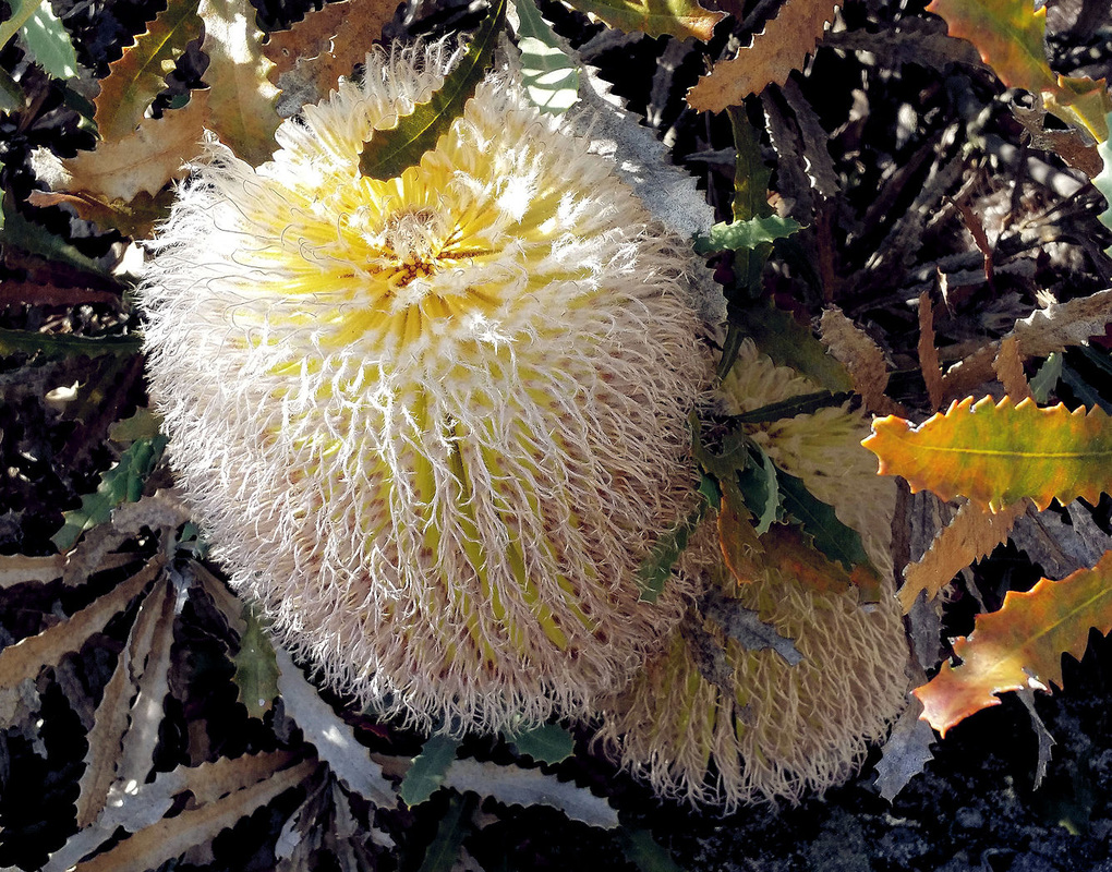 Woolly Banksia | 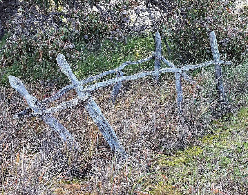 Lonely grave |
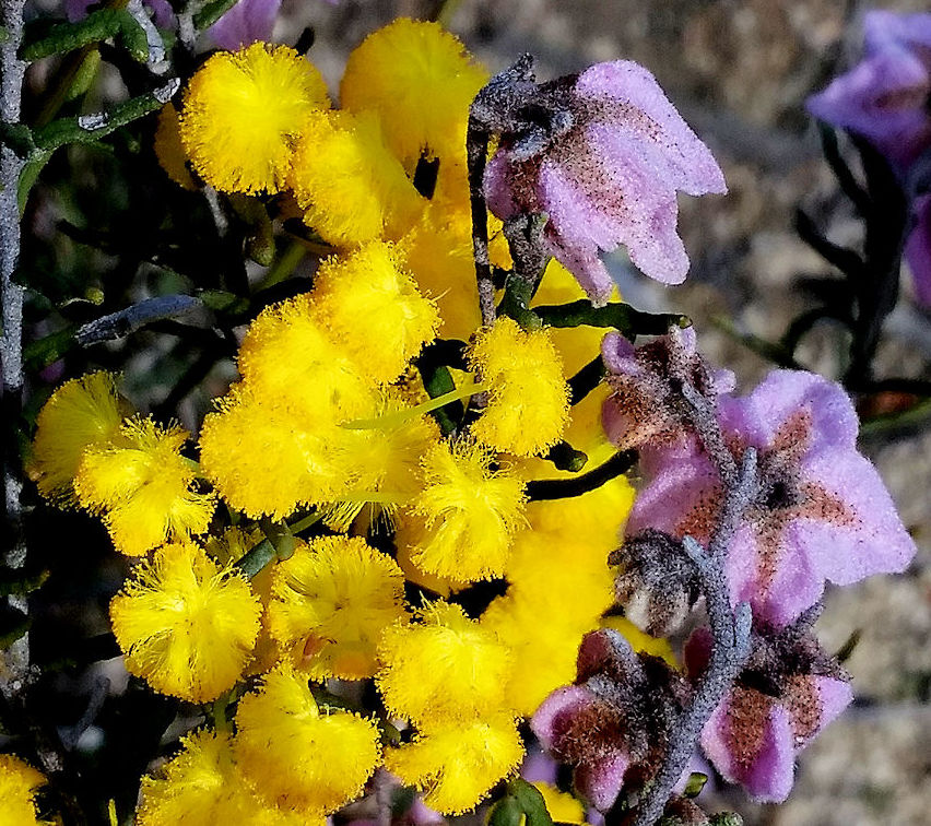
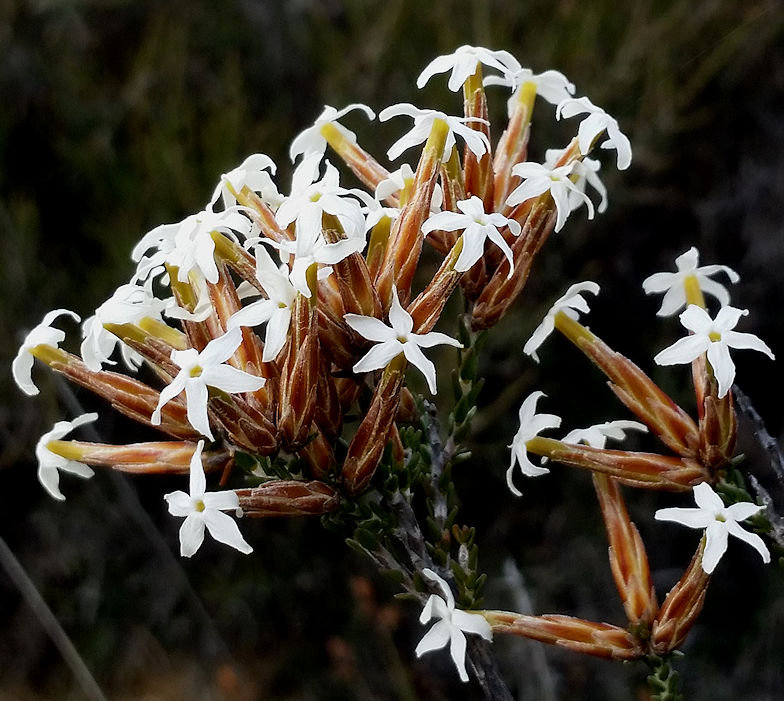
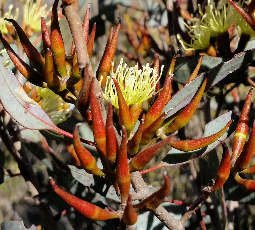
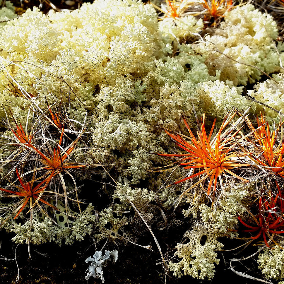
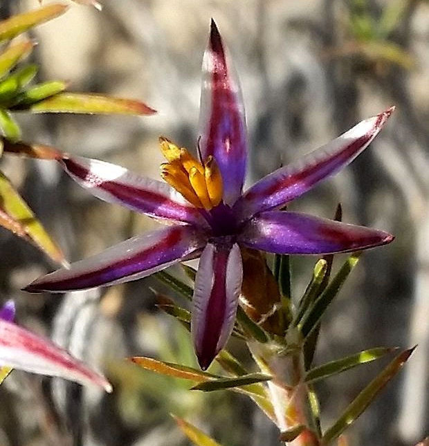
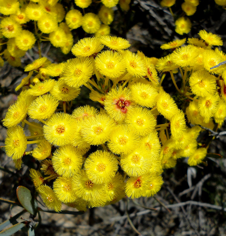
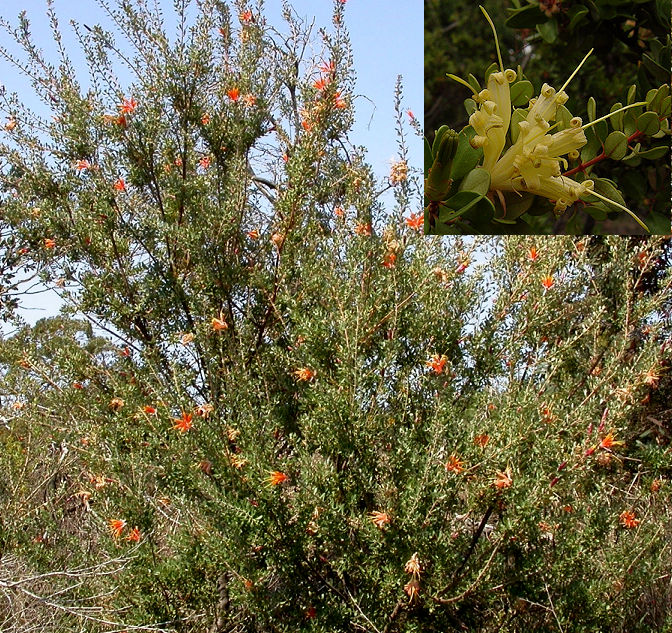
The grey sandy soil continues further along Cemetery Road and gradually changes to grey sandy gravel (formed from the sand by Proteaceae) further upslope on the left with interesting Kwongan vegetation like chittick (Lambertia inermis). The easiest way to see this is from Toolibin North Road.
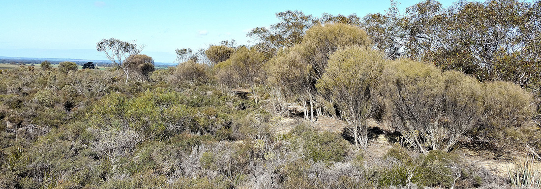
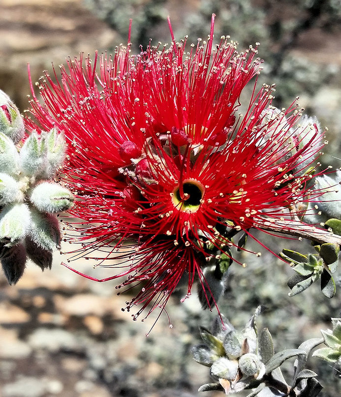
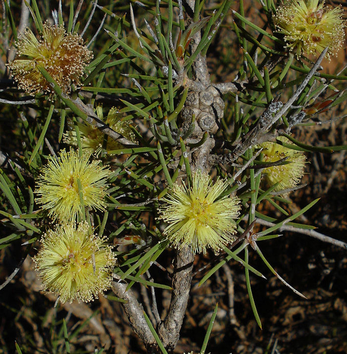
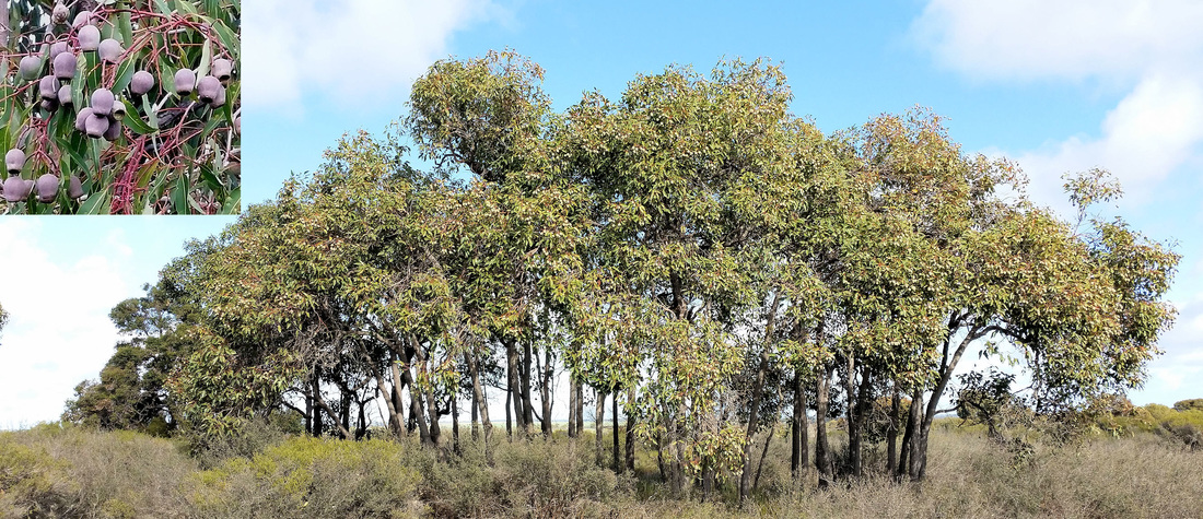
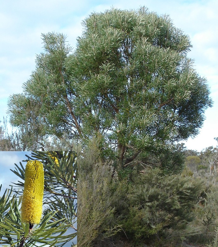
Continuing over the ridge on Cemetery Road, vegetation changes to Acorn banksia Banksia prionotes woodland on yellow sand (stop 6). This is an older sand deposit than pale sand upslope, with the yellow colour created by Acorn banksia root secretions that enable them to access and recycle phosphate. Acorn banksia is a good sign of yellowish aeolian sands. Slender banksia Banksia attenuata that is also present becomes more dominant on grey sands. The soil changes to younger white sand dune heath near the bitumen cross road.
Continuing over the ridge on Cemetery Road, vegetation changes to Acorn banksia Banksia prionotes woodland on yellow sand (stop 6). This is an older sand deposit than pale sand upslope, with the yellow colour created by Acorn banksia root secretions that enable them to access and recycle phosphate. Acorn banksia is a good sign of yellowish aeolian sands. Slender banksia Banksia attenuata that is also present becomes more dominant on grey sands. The soil changes to younger white sand dune heath near the bitumen cross road.
 Slender Banksia/Candlestick Banksia (spring/summer) | 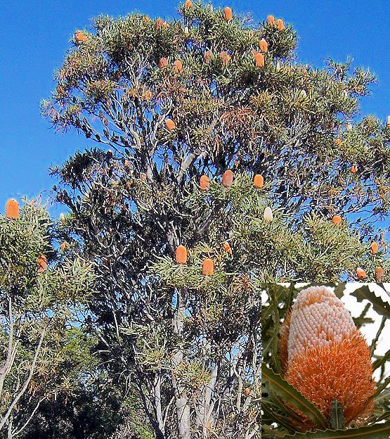 Acorn banksia (autumn) |
At the cross road you have the option of
a.Turning right and returning to Narrogin via Yillminning Road.
b. Crossing the road to the Toolibin townsite. Past the derelict Morris Minor and turn left up the gravel track. Upslope is safe to park and walk in on the left to see sandy gravel heath. Continue up the track and turn hard left on to The Toolibin North Road to return to Narrogin.
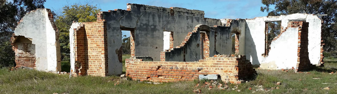
c. Crossing the road and turn right at the T junction to the Toolibin townsite. Nothing remains Peruvian pepper tree and bamboos that mark the school site. If you then turn left along Line Road you will see a funky shack made of sleepers described here. After seeing the shack turn around and follow Line Road back to the bitumen road then turn left to return to Narrogin.
a.Turning right and returning to Narrogin via Yillminning Road.
b. Crossing the road to the Toolibin townsite. Past the derelict Morris Minor and turn left up the gravel track. Upslope is safe to park and walk in on the left to see sandy gravel heath. Continue up the track and turn hard left on to The Toolibin North Road to return to Narrogin.
c. Crossing the road and turn right at the T junction to the Toolibin townsite. Nothing remains Peruvian pepper tree and bamboos that mark the school site. If you then turn left along Line Road you will see a funky shack made of sleepers described here. After seeing the shack turn around and follow Line Road back to the bitumen road then turn left to return to Narrogin.
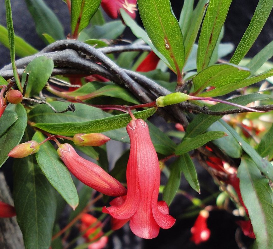
 |  Red and yellow forms of Chittick |