Greetings fellow Foxies,
Over the years, the Claypit has been a labour of love and source of frustration. The reason for the existence of the twin excavations is unknown, with possibilities being a brick clay quarry (unlikely as it is poor quality clay, borrow pit for adjoining Bottle Creek dam or as a soak. The initial name, Beavers Dam was also a mystery until several years after I renamed it Claypit for brevity. Guy Maley told me that he and other kids used to throw sticks in the water, which were were blown by wind into one end to resemble a beaver’s dam.
Images below show changes from 2011 to 2019
Over the years, the Claypit has been a labour of love and source of frustration. The reason for the existence of the twin excavations is unknown, with possibilities being a brick clay quarry (unlikely as it is poor quality clay, borrow pit for adjoining Bottle Creek dam or as a soak. The initial name, Beavers Dam was also a mystery until several years after I renamed it Claypit for brevity. Guy Maley told me that he and other kids used to throw sticks in the water, which were were blown by wind into one end to resemble a beaver’s dam.
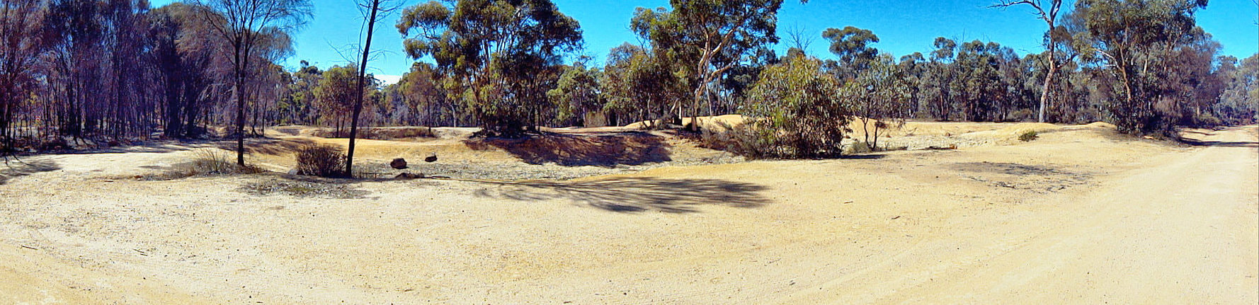
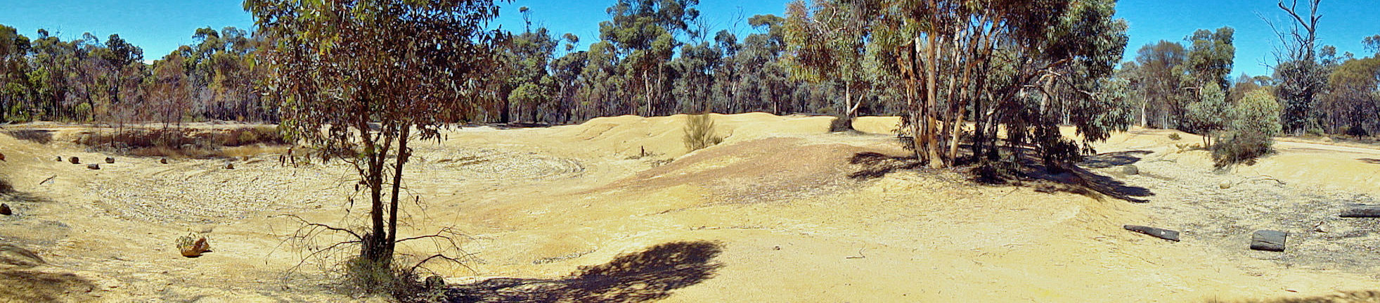
Images below show changes from 2011 to 2019
view from entrance 2012
view from entrance 2019
view to south 2012
view to south 2019
The Claypit was a favoured place for tadpole collecting, a cycle circuit, trail bike jumps and 4WD enthusiasts. After many years of vandalism, and trail bike and 4WD incursions on walk trails and through the bush, I realised that Foxes Lair would never be a good place for walkers while the Claypit remained a magnet for undesirable activity exponents
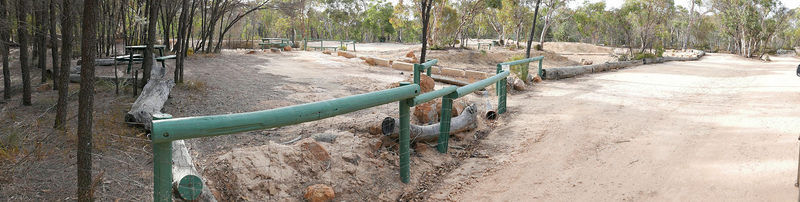
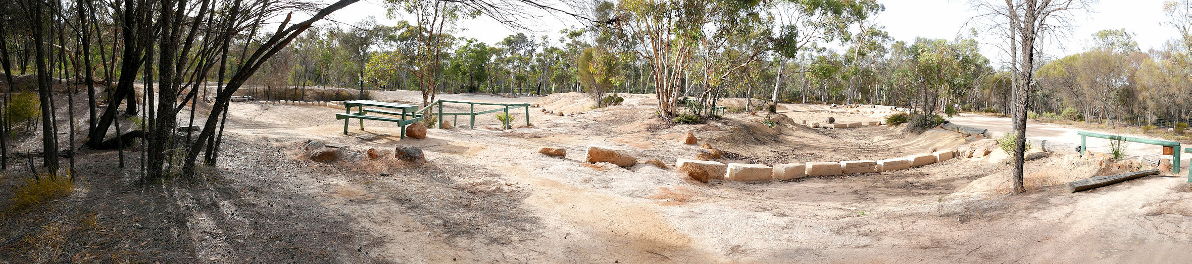
Tony and Deb Hughes-Owen donated bridge timbers that were placed by the Central South Naturalist Club to create a picnic area. In a battle of attrition over several years, 4WD drivers would breach the barriers and trash facilities and I would repair them and cart in tonnes of rocks, logs, soil for landscaping, barrier reinforcements, and stepping stones. Images below show a 2016 incident
Tony and Deb Hughes-Owen donated bridge timbers that were placed by the Central South Naturalist Club to create a picnic area. In a battle of attrition over several years, 4WD drivers would breach the barriers and trash facilities and I would repair them and cart in tonnes of rocks, logs, soil for landscaping, barrier reinforcements, and stepping stones. Images below show a 2016 incident
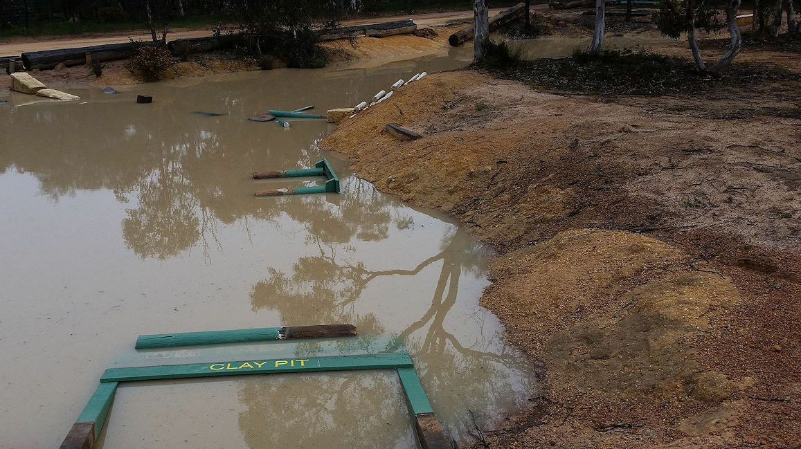 ripped out and tossed into the water | 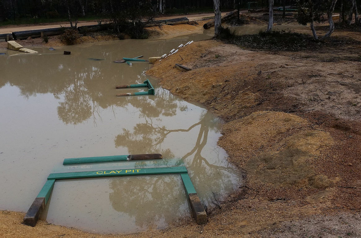 4WD pushed in entrance and log border |
The famous “Claypit Challenge” arose after I scabbed rocks, logs, and limestone blocks from a range of sources to create a stepping stone circuit for the young and young at heart.
Recently the shire’s insurance assessor cast an eye over and (justifiably) insisted that the logs and rocks were a safety hazard and had to go.
Recently the shire’s insurance assessor cast an eye over and (justifiably) insisted that the logs and rocks were a safety hazard and had to go.
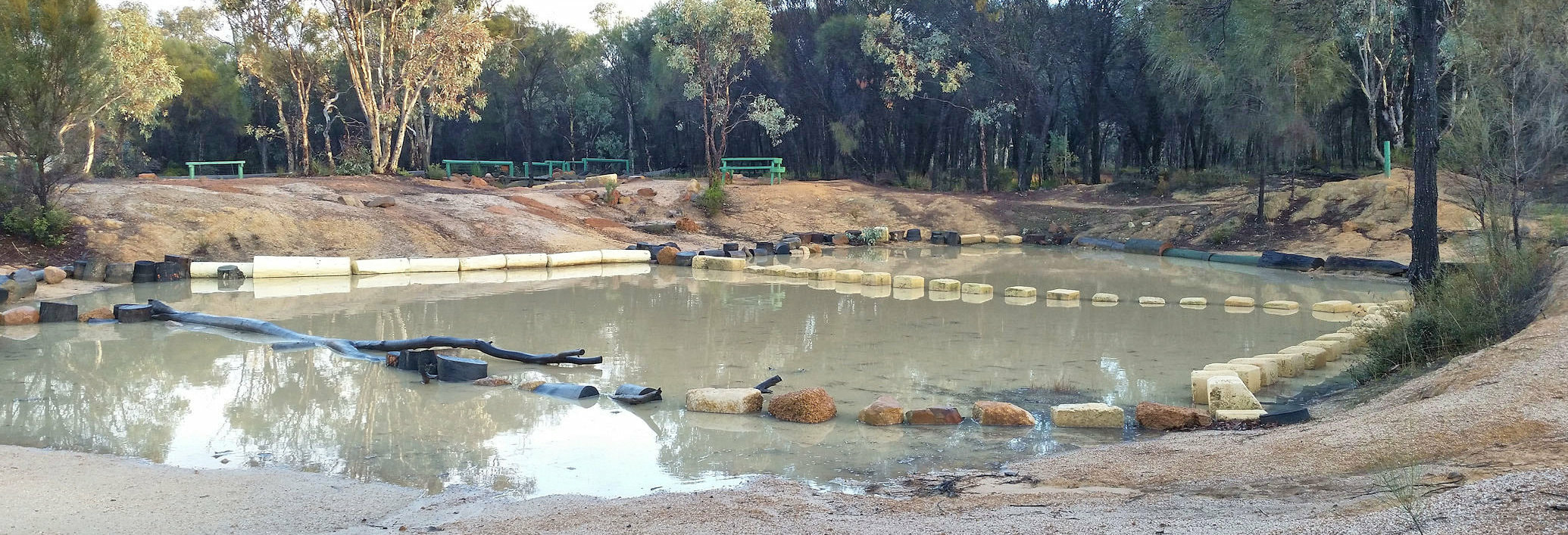
before insurance assessor
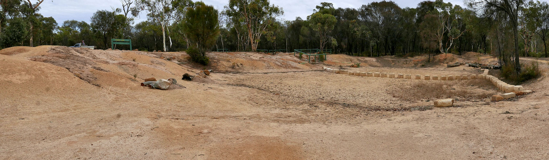
after insurance assessor
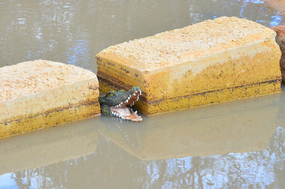 no fishing or swimming
 Narrogin shire donated 8 one metre long reconstituted limestone blocks, and will hopefully cut them in half .
However more blocks are needed. Suitable limestone blocks would be gratefully accepted by yours truly
However more blocks are needed. Suitable limestone blocks would be gratefully accepted by yours truly