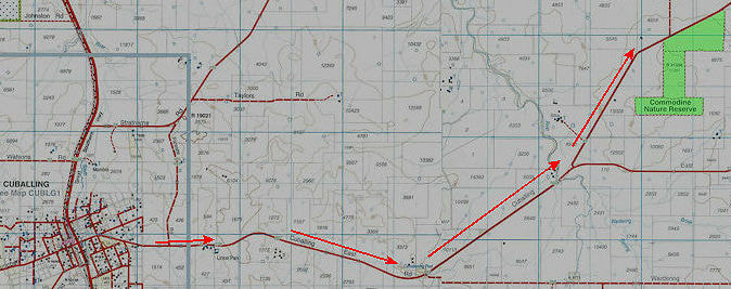
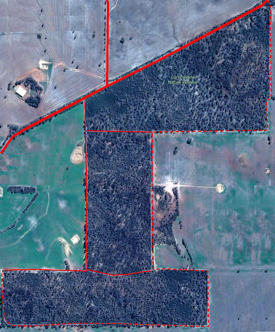
This approximately 2000 ha reserve is adjacent to Pauley Road 15 km north-east of Cuballing.
The unusual shape of the reserve is due to it being a gravelly ridge between Commodine Creek and Hotham River, which remained after adjoining farmers had cleared better quality surrounding land
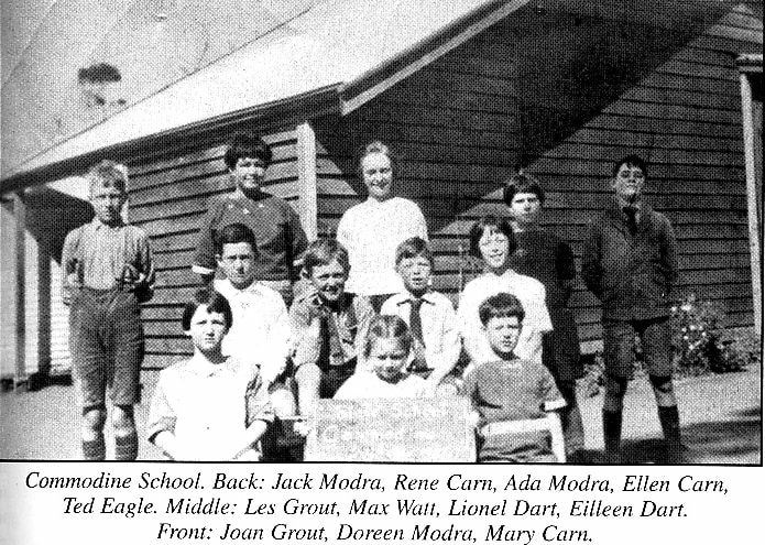
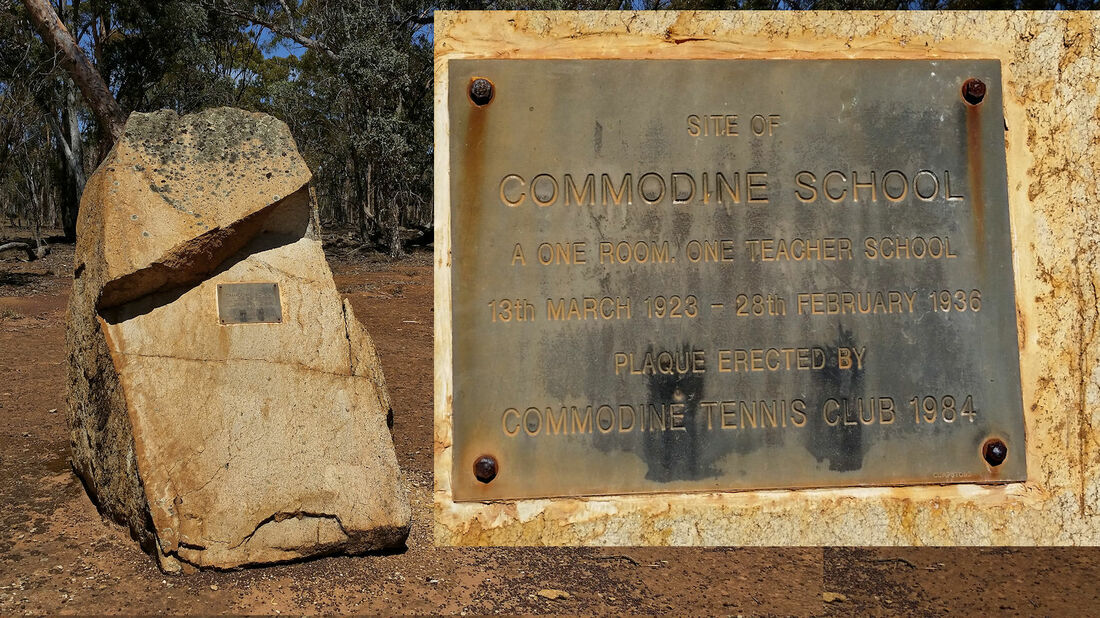
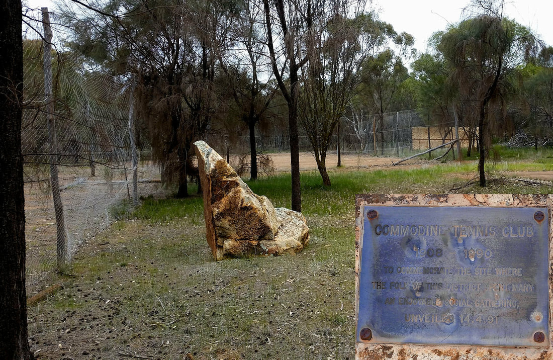
In the early 1900’s there were many new settlers clearing land in east Cuballing, particularly given that an east-west railway line was expected to pass through the area.
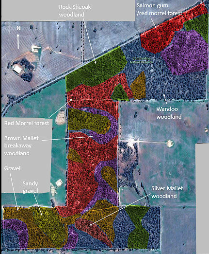
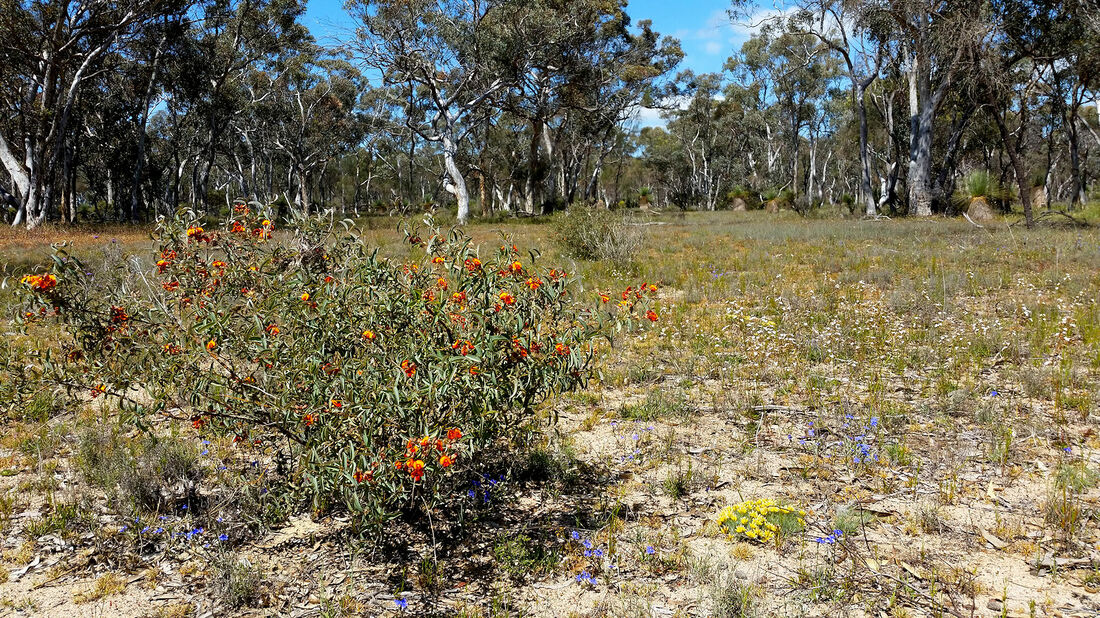
The rest of the reserve underlain by granite bedrock includes sandy and stony gravels, wandoo woodland, and small patches of yellow and white sand.
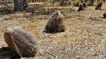
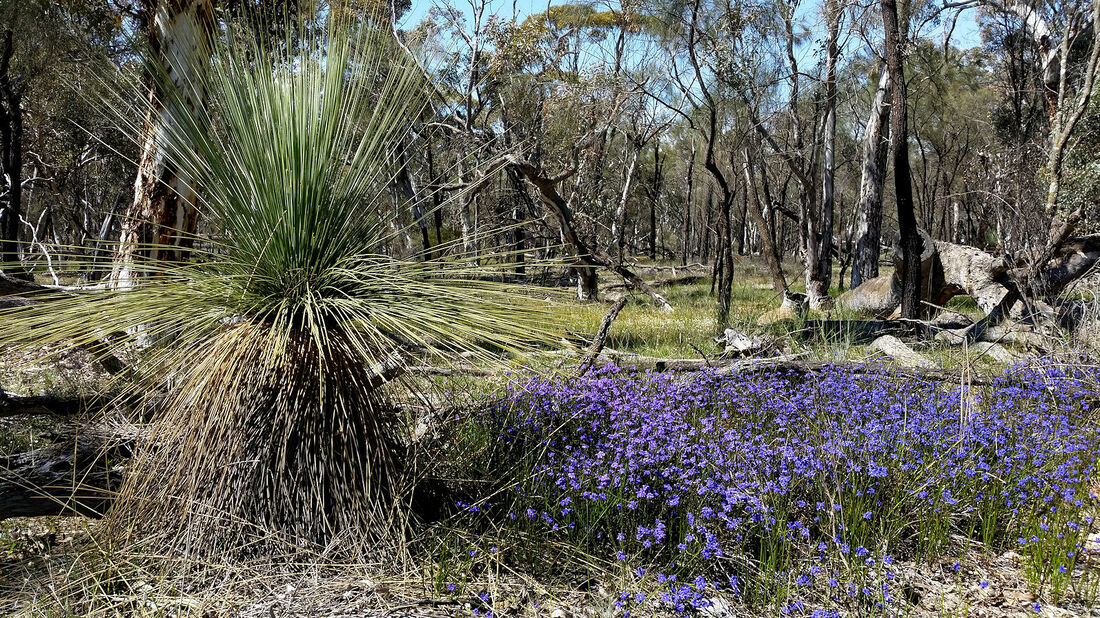
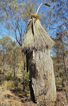
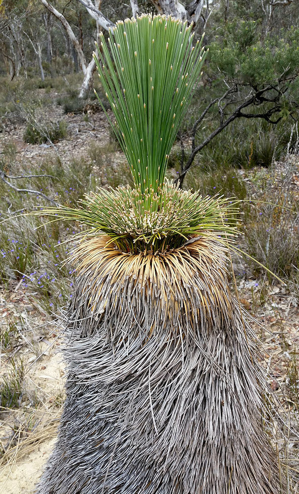
Some grass trees have been damaged and killed by Ring Necked parrots and there are active rabbit burrows in sandy spots. This is another example of how difficult it is to manage small reserves to maintain biodiversity
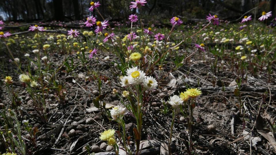
It is also a good spot for more dedicated bushwalkers and wildflower enthusiasts.
