It was also particularly important for Noongars as an inter tribal meeting place,but now has a dark history for them. In the 1880's an epdemic of measles and other introduced diseases caused mass deaths here and at Wolwolling Pool, which heralded the end of their well organised society.
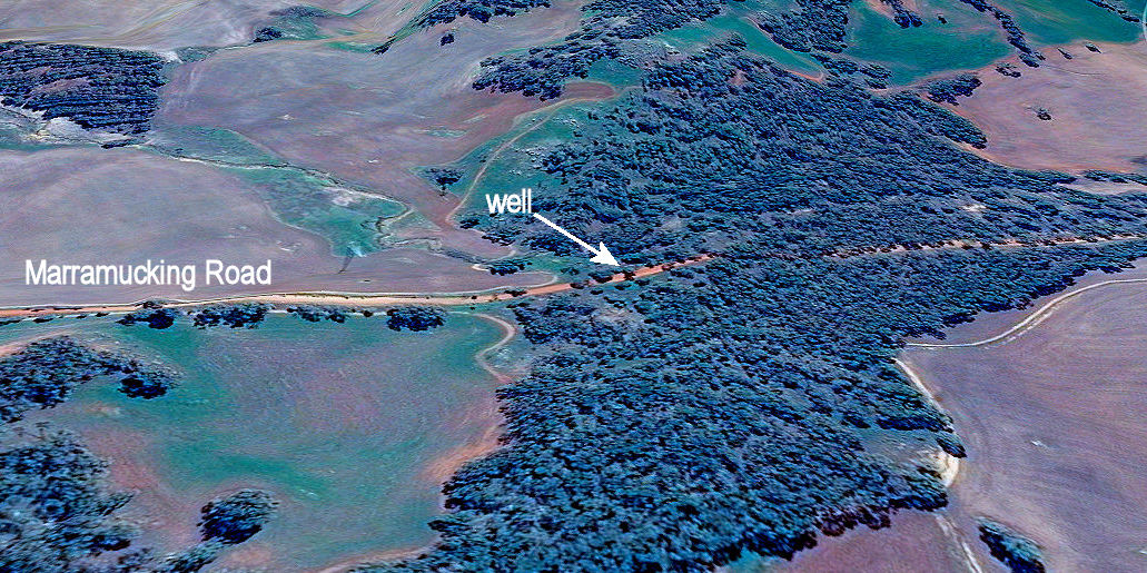
An aerial view shows the reason for the well’s location.
Rocks on either side of the well are granite that has weathered to sandy surfaced soils. In the image below you can see a raised line passing below the well that represents a ‘dolerite dyke’. This dark rock is a part of the Binneringie dyke suite that goes from Quindanning to Coolgardie and includes the southern rocky red soil ridge in Foxes Lair.
O.E. Pustkuchen, author of ‘The Way through; The Story of Narrogin’ writes of playing in sticky red clay below the Marramucking Well. This red clay, formed from dolerite acts as an underground wall that interrupts groundwater passing down the sandy slope, and forces it to the surface as seepage. The water goes down again after crossing the dyke back to granite. This is a very common cause of seepages, wells and lakes in the district that were once fresh but are now generally saline.
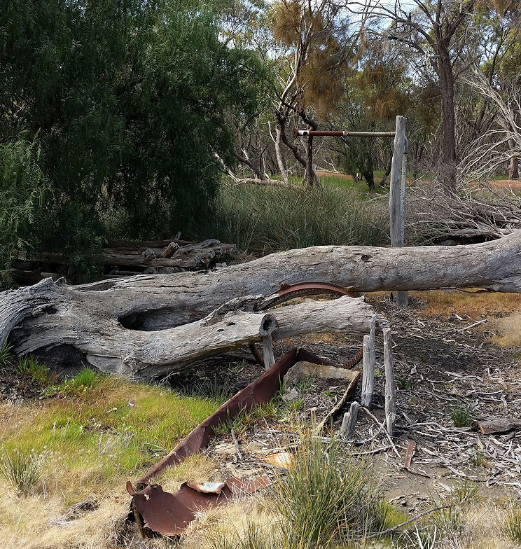
The well a standpipe and the remains of a water trough can still be seen with the ubiquitous pepper tree.
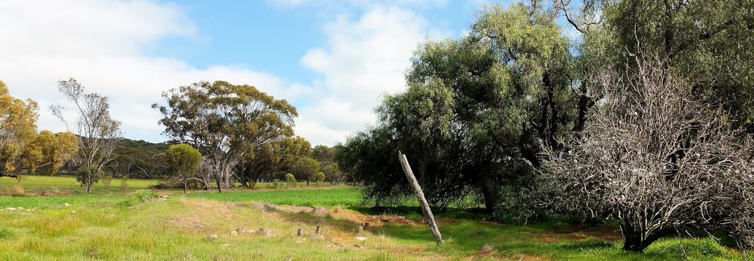
Have you ever noticed that these trees occur on a great many historical sites in the wheatbelt to the goldfields?
With or without a commemorative stone they are the only trace of many schools, houses and sheds from a time when most WA inhabitants lived in the country (a pox on big cities!).
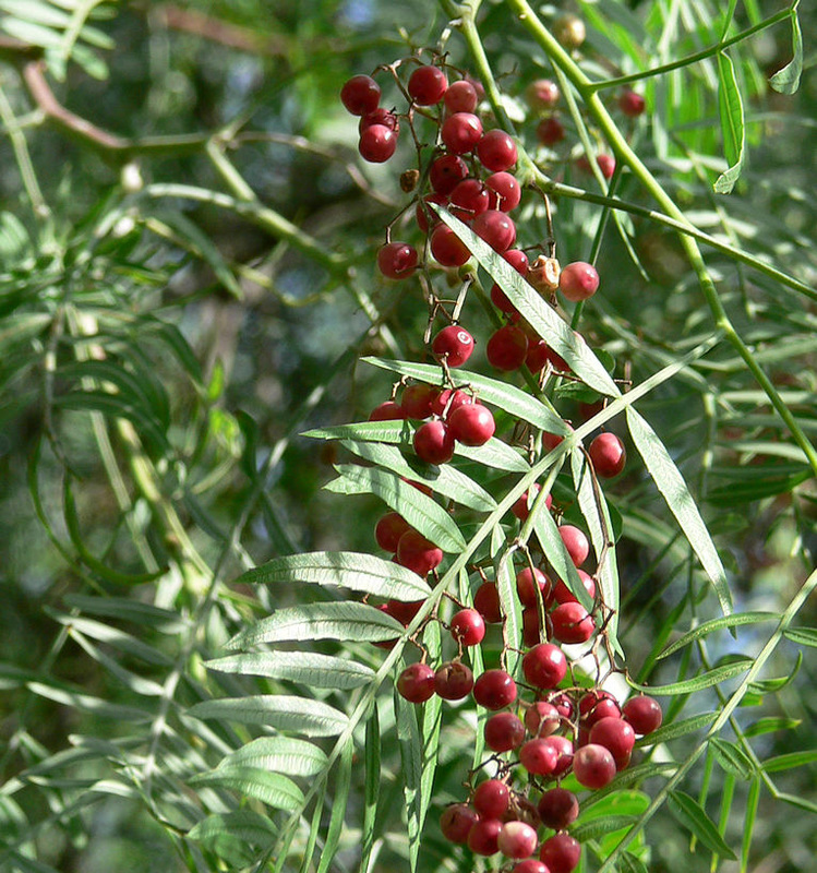
I thought that Schinus molle was called the Japanese pepper, but it is actually the Peruvian pepper, an amazingly drought tolerant tree from the Andes. So shady and soft, it is apparently listed as an aggressive weed, but I haven’t noticed them seed or sucker.
Further to the north is a heap that is all that remains of a mud-bat house that had a single divided room with a narrow addition on each end.


