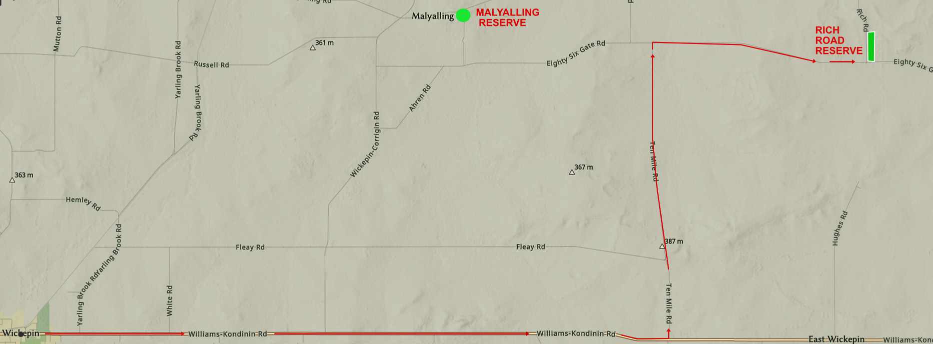
Rich Road Reserve Location 14733 is a 35 hectare gravel pit reserve which is 30 kilometres east of Wickepin and 63 kilometres east of Narrogin. To get there drive east from Wickepin on the Williams-Kondinin Road and turn north up 10 Mile Road. The remaining 15 kms up to 86 Gate road then right to the Rich Road intersection is gravel road.
| We are lucky to have have this reserves as unlike most others, it is mostly good agricultural soil on a south flowing tributary valley. There are no facilities or walk trails, but it is easy to walk through most parts. The reserve has a healthy bird population, a diversity of plant species, a group of Western Grey kangaroos and at least one echidna. Orchid species including Caladenias falcata, flava, hirta, roeii, longicauda, filifera, Caladenia x cala Wheatbelt Spider Orchid), and Pheladenia deformis. The slideshow, which only shows on computer features wildflower highlights. | |
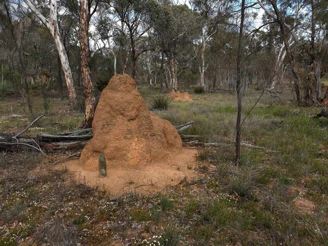
The whole area is underlain by granite bedrock. Lower silica granite in most of the reserve has produced soils with well-structured orange brown subsoils with frequent large termite mounds ("ant hill country'), and there is a northwest / southeast band of grey sandy soils from high silica granite.
Eastern and western sides of the reserve are lateritic soil slopes which adjoin the central waterway.
Eastern and western sides of the reserve are lateritic soil slopes which adjoin the central waterway.
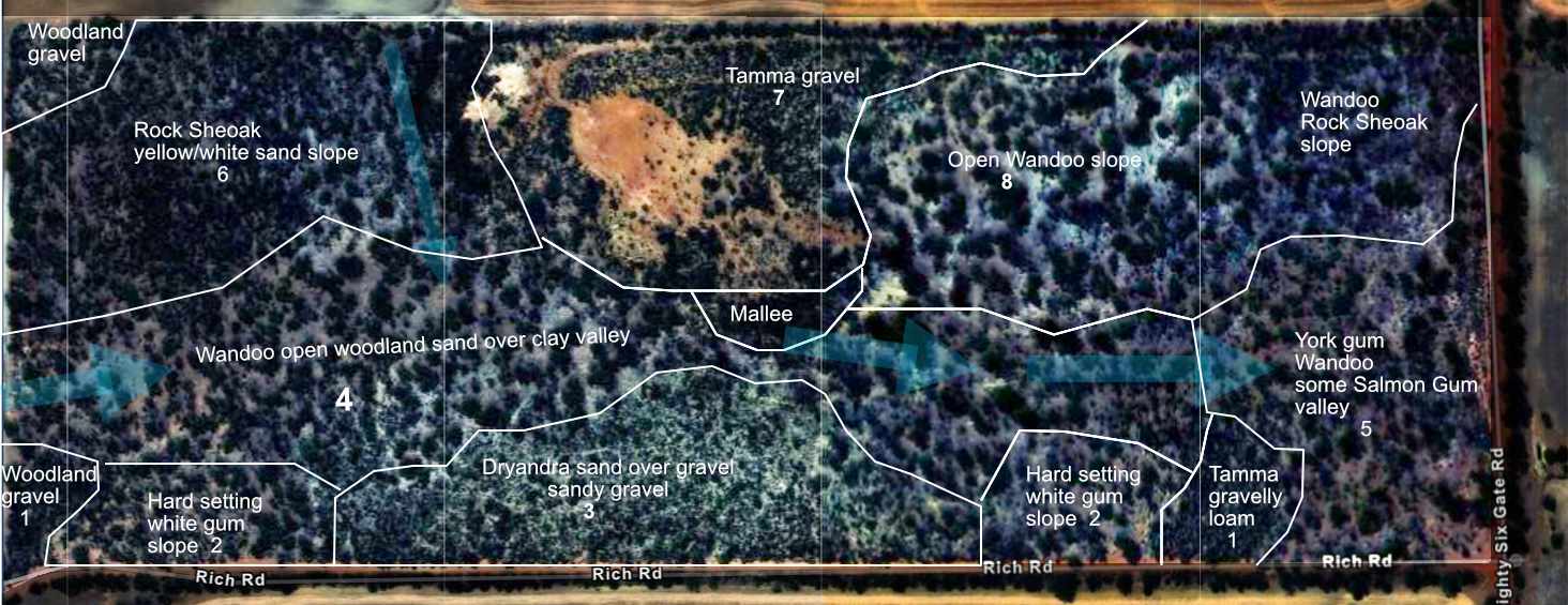
Rich Road reserve soils and vegetation. North is to the left.
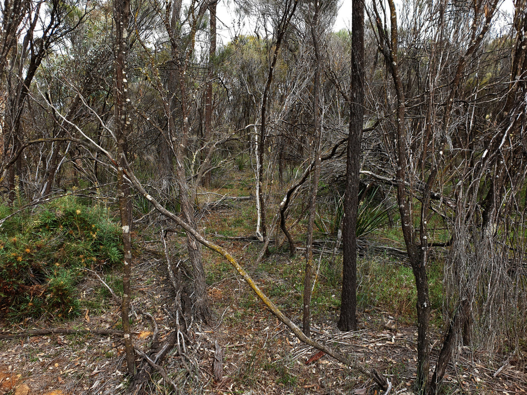
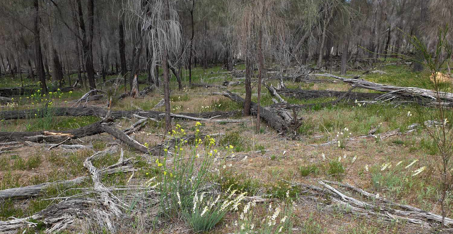
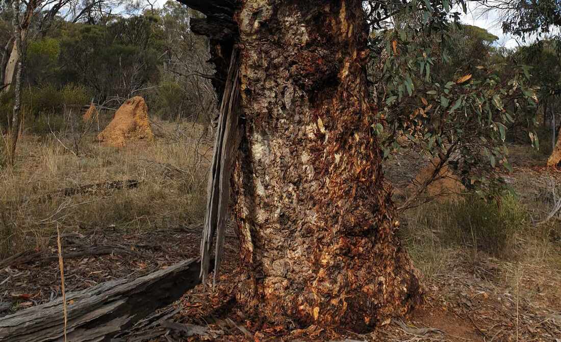 Inland wandoo sparse woodland
 Areas 1 and 2 are hard setting soils formed on mottled zone below the gravel layer. 1 denotes slight gravelly loam rises with allocasuarina shrubs (Tammar) with proteaceae shrub and some Rock Sheoak vegetation. I found Caladenia falcata orchids in woodland gravel 1 in September.
Areas 2 are broad depressions supporting Inland Wandoo (Eucalyptus capillosa) trees with sparse ground cover.
Areas 2 are broad depressions supporting Inland Wandoo (Eucalyptus capillosa) trees with sparse ground cover.
 Area 1 north Tammar scrub | 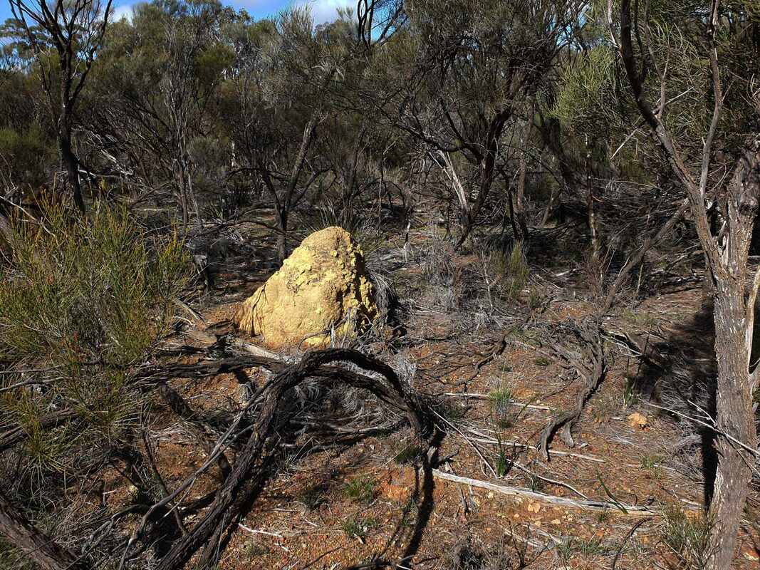 Area 1 south sparse Tammar scrub |
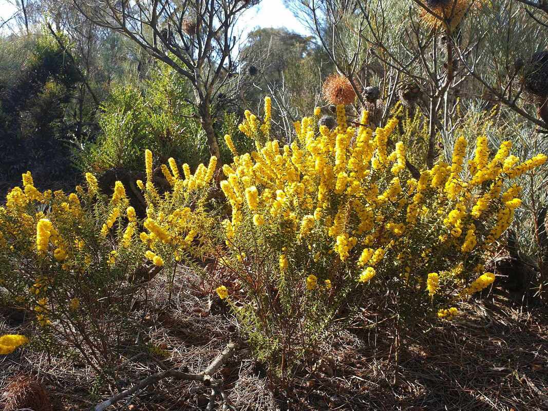
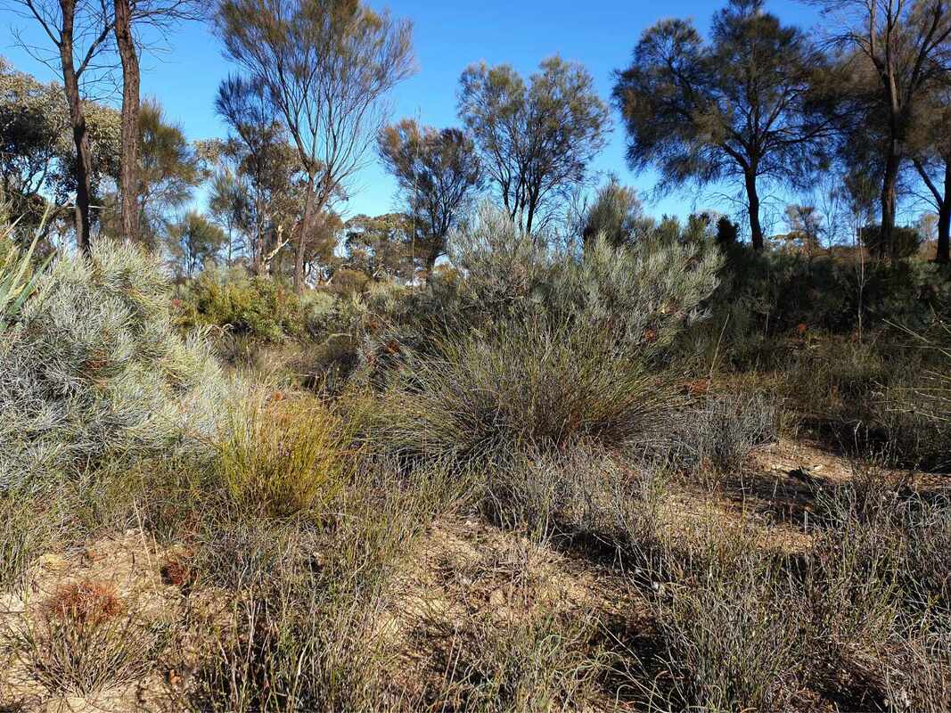
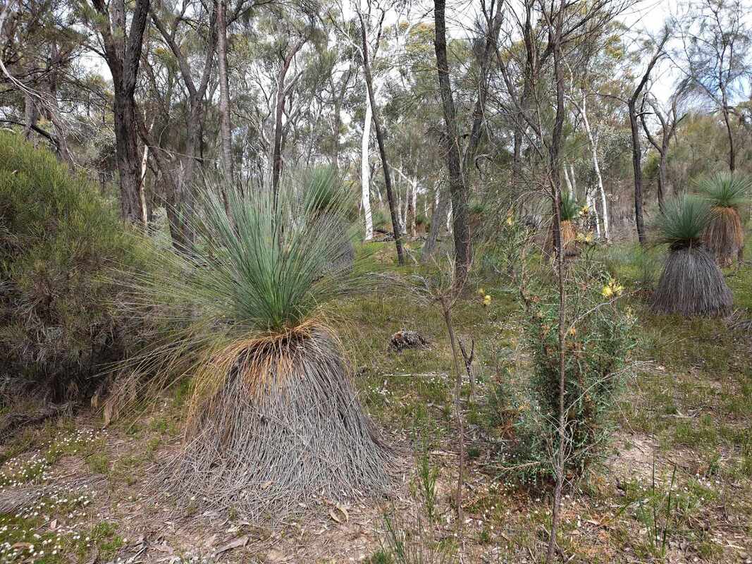
Area 3 is a sandy gravel/ sand over gravel kwongan rise with occasional Eucalyptus albida mallees. This was particularly attractive in late June due to a number of flowering Acacias, Daviesias, and proteaceae plants
 |  |  |
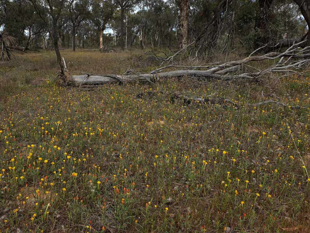
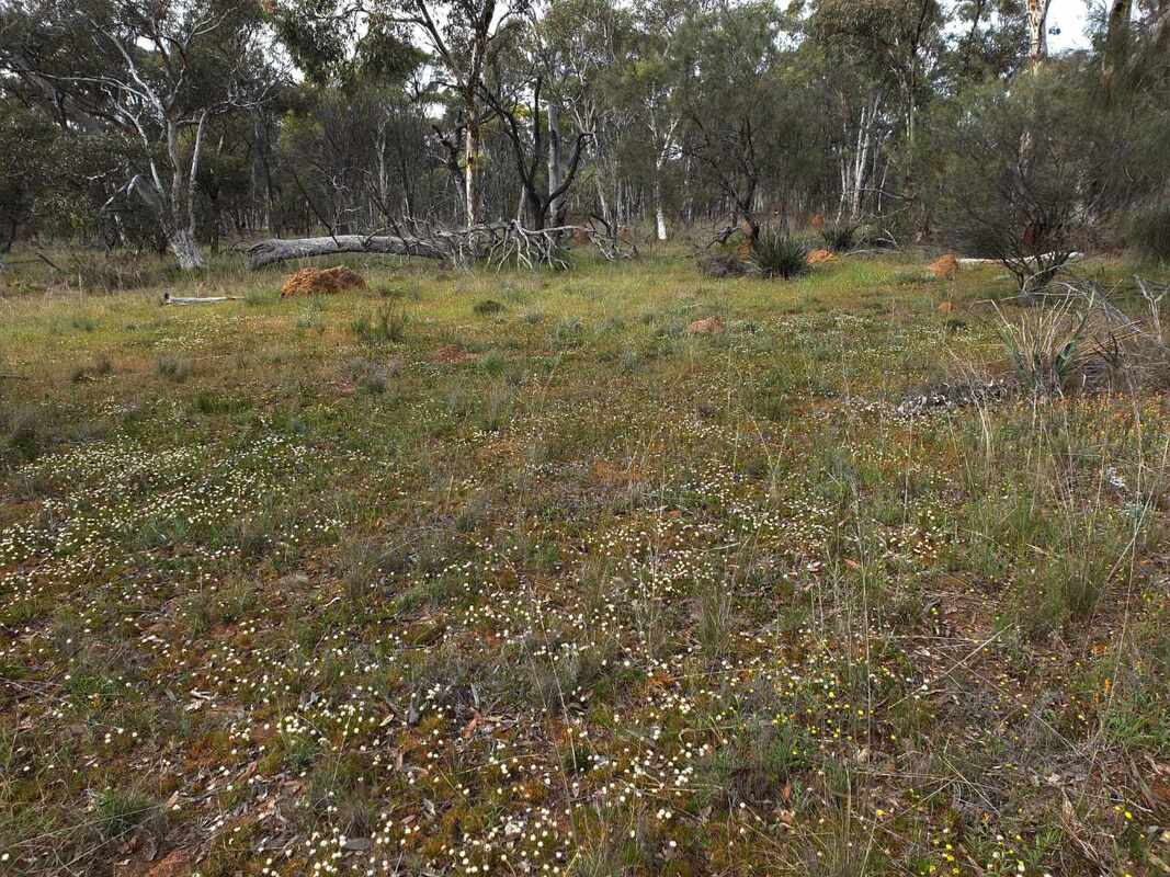
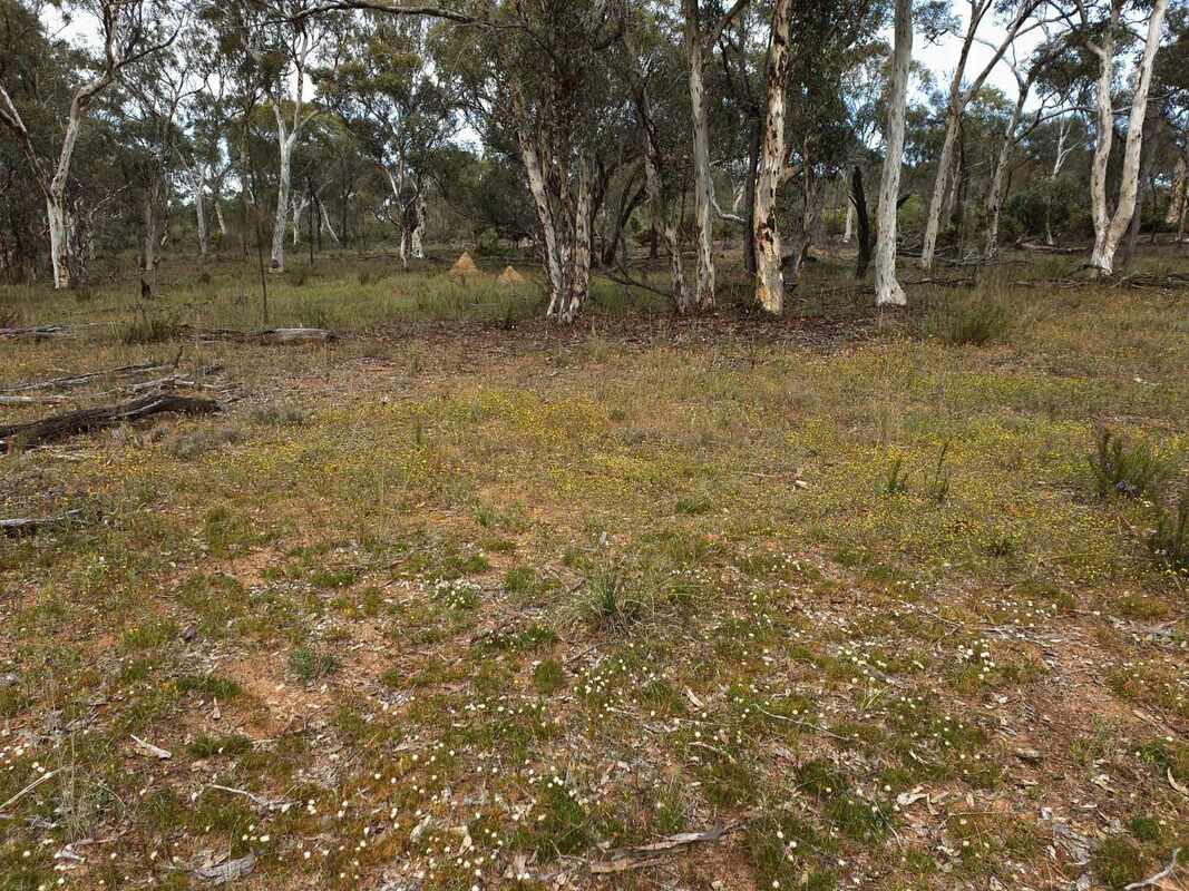
Area 4 is the broad valley floor and gentle side slopes with open wandoo woodland dotted with large termite mounds. This is pleasant easy walking country with several orchid species and everlasting in years with good spring rain.
 |  |  |
Area 5 forms the edge of the main trunk valley, and has a range of soil types ranging from wandoo sand over clay to York Gum loam and Salmon gum clay. This area is very weedy and mildly salt affected.
York gum, Wandoo, Salmon gum, and Jam / Acacia acuminata
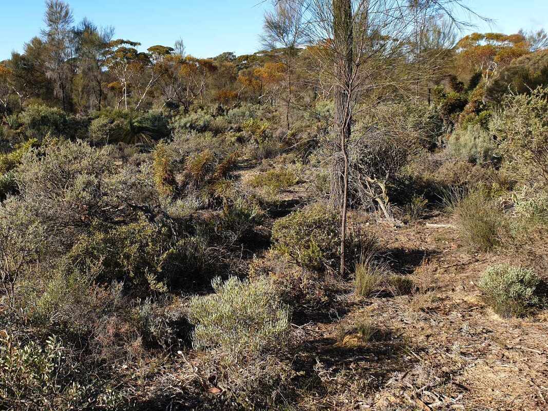
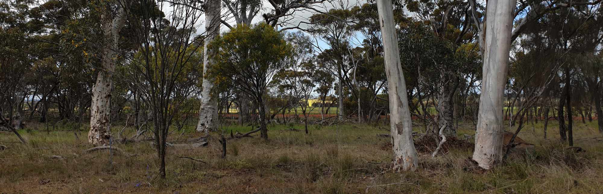
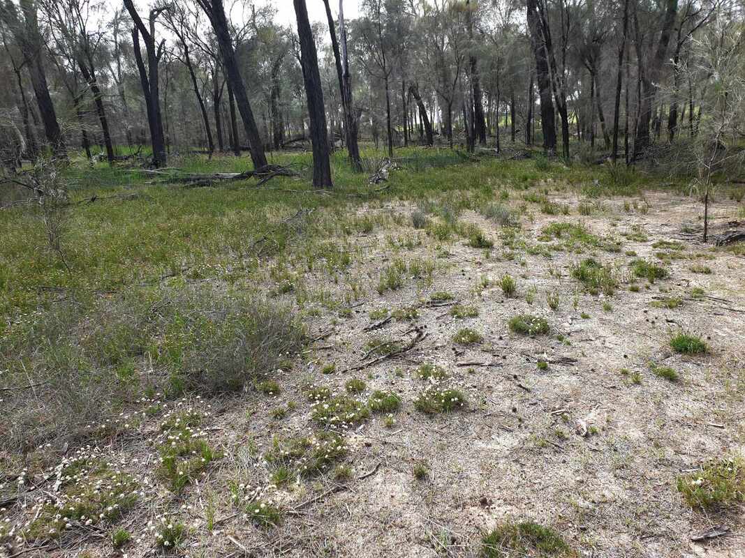
Area 6 on the north east corner is wandoo woodland, which grades to wandoo and shrubs where the soil has more sand or gravel. The loamy pure wandoo patch is choked with weeds and dead trees, which make it difficult to walk through. This is a clue that this part of the reserve has not carried a fire for decades. Other parts of this area have attractive flowering shrubs.
Area 7 in the centre-east is reclaimed gravel pit and prickly shrubland with attractive winter-spring flowers.
Area 8 is deep sand over clay soil with open wandoo woodland, which grades to rock sheoak woodland adjoining 86 Gate road.
Area 8 is deep sand over clay soil with open wandoo woodland, which grades to rock sheoak woodland adjoining 86 Gate road.
 |  |  |
An earlier Malyalling and Rich Road vegetation survey can be dowloaded here.