I recently went for a holiday to a suburb of Narrogin called Augusta. Although a trifle too wet for me, it is a pleasant town and a great spot for the amateur geologist.
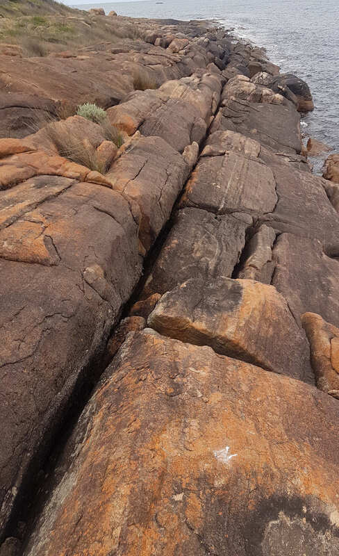
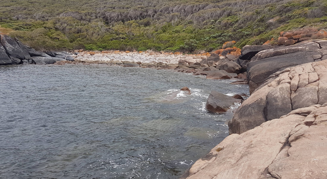
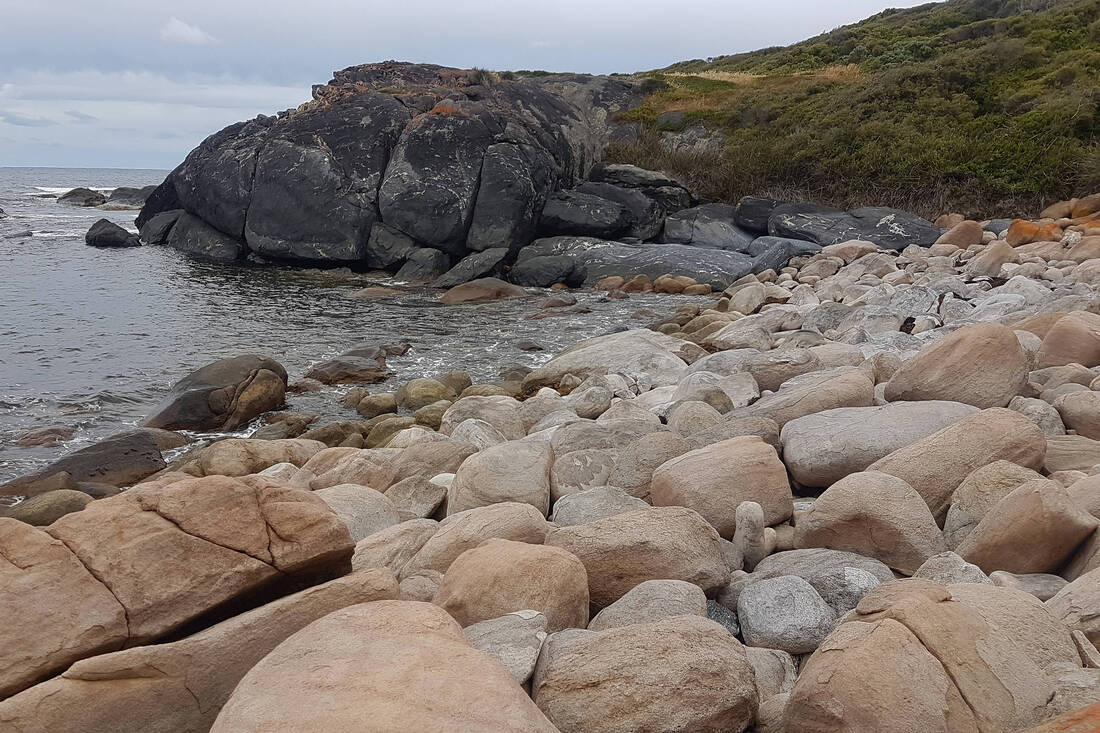
I explored Groper Bay. This is a delightful spot for a ramble, and the rocks are wonderful!
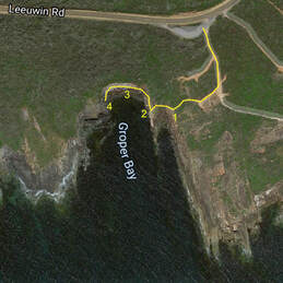
One must walk from the car park and scramble down rough tracks and rocks (see my journey on image). Note there are no trails, and the rocks are smooth. It is a good workout for a healthy 74-year-old, but not for the dodgy hip brigade
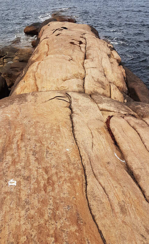
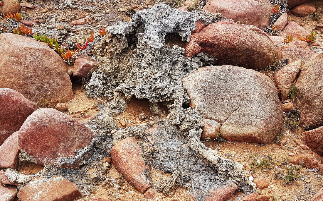
The bedrock once granite and dolerite like Narrogin has been altered and stretched. A north-south trend in rocks is evident on the aerial photo with lines of rock projecting into the ocean.
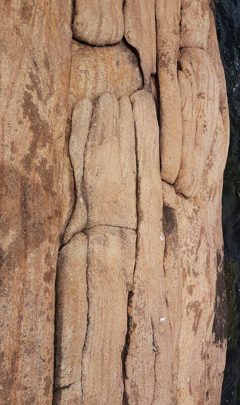
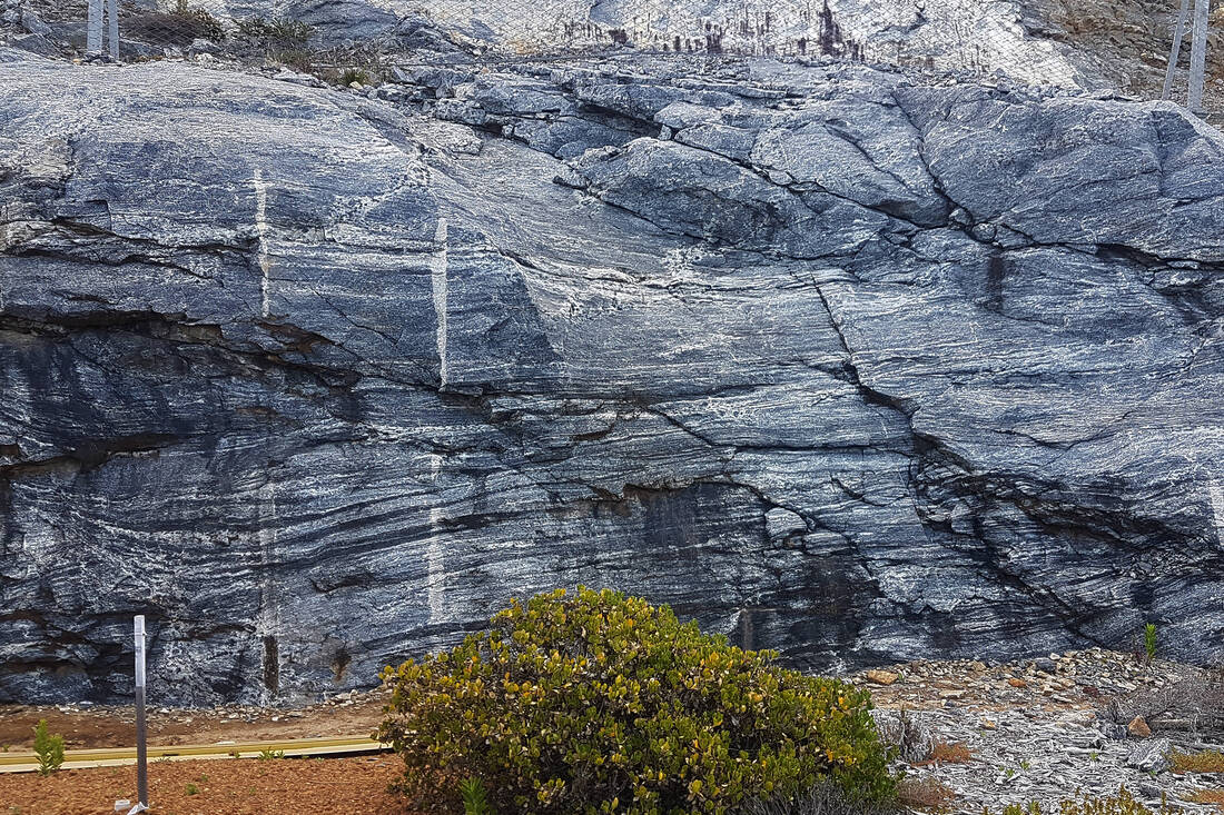
The lumpy stretched rock patterns below are called boudinage.Boudin is apparently French for their black pudding, which is made into sausages!
These rocks have been subjected to a lot of heat and pressure!
In the image below the large grained whiter and fine-grained darker rocks have remained more solid while the more plastic pinkish rock flowed past, but they were stretched and deformed into cylinder cross section rocks called boudins.
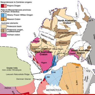 Australia India and Antartica joined as part of Gondwana
 The rocks spurred me on to research their origin. Here is a simplified version of my findings.
While Narrogin is on the ancient Yilgarn craton, the capes are on a much younger rock called the Leeuwin-Naturaliste Ridge on the Pinjarra Orogen, which is west of the Darling Fault. (see this blog).
The Leeuwin-Naturaliste rocks formed as granites and mafic rock plutons intruded into a rift that formed on the Pinjarra orogen about eleven hundred million years ago. At this time Western Australia was separating from an unknown continent to the west as the Pangaea supercontinent broke apart.
About seven hundred and fifty million years ago while continents amalgamated again to form the Gondwana supercontinent, India obliquely collided with WA in what is a southwest direction today (Leeuwin orogeny). The collision buried the rocks where they partially melted, and the minerals were altered and stretched into roughly north-south bands (that are sometimes folded) as India also moved south. A substantial mountain range formed at the join and gradually eroded away.
About four hundred million years ago, starting from the north, India gradually began separating from WA. This caused a rift valley to form between the Dunsborough and Darling scarps that gradually filled with sediments from both sides. Today, this is the belt of sandy scrubby woodland between Bridgetown/Nannup and the Leeuwin-Naturaliste Ridge jarrah/karri forests. (Donnybrook Sunkland).
Finally, about eighty-three million years ago, Antarctica finally separated from Australia, taking the southern part of the Leeuwin-Naturaliste ridge, which is now under the Denman Glacier.
When you sip wine at the capes, pause and remember the tumultuous origin of the land you are standing on. Did the ground move or have you had enough to drink?
Click here for a Google Photos tour of Groper Bay.
