I love climbing and understanding rocks (my wife thinks that there is mountain goat in my ancestry).
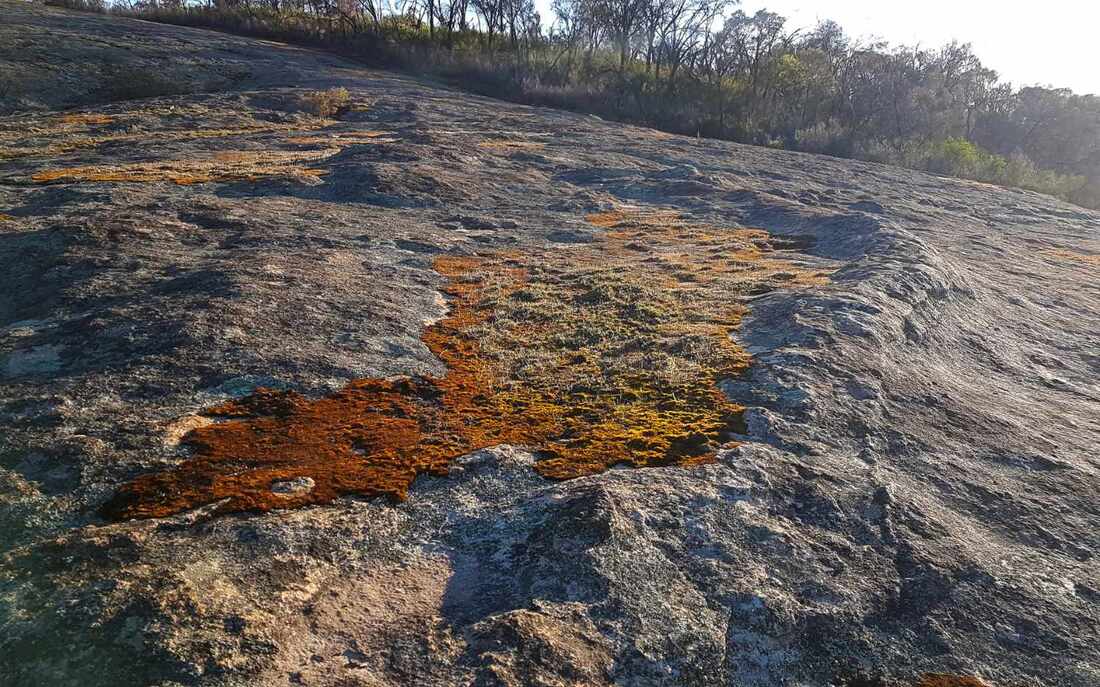
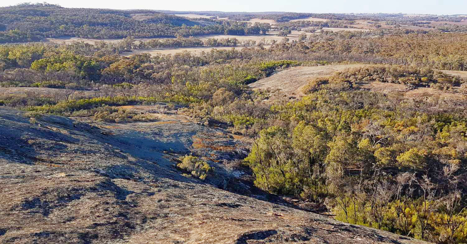
In the process of producing a Boyagin Rock brochure I climbed over and around it and compared it with our other great tourist destination, Yilliminning Rock.
Both are inselbergs that outcrop from underlying granite basement rock that welled up when two older slabs of continental rock crashed into each other about two thousand seven hundred million (2,700,000,000) years ago. At the time volcanos erupted and a huge alpine mountain range similar to today’s Himalayas was formed. Over great time this bit of rock joined with others to form Australia and the supercontinent Gondwana, that joined more to form the global supercontinent Pangea, that then split up (greatly simplified). Very slowly the mountain range weathered and washed away.
Another mind-blowing statistic is that Yilliminning and Boyagin rocks were once part of magma chambers 5 to 7 kilometres below the ground surface. These have been exposed over eons as the overlying material was removed.
In the agricultural area, features like ridges, cracks and waterways tend to follow straight lines that may suddenly change from one direction to another. Our soils and the depth to crystalline bedrock are shallower than many other parts of the world. Surface features often reflect faults, intrusions and other changes in the mainly granite basement. Lines frequently trend northwest- south east, northeast -southwest, east-west, and north-south.
There are distinct differences between the two rocks.
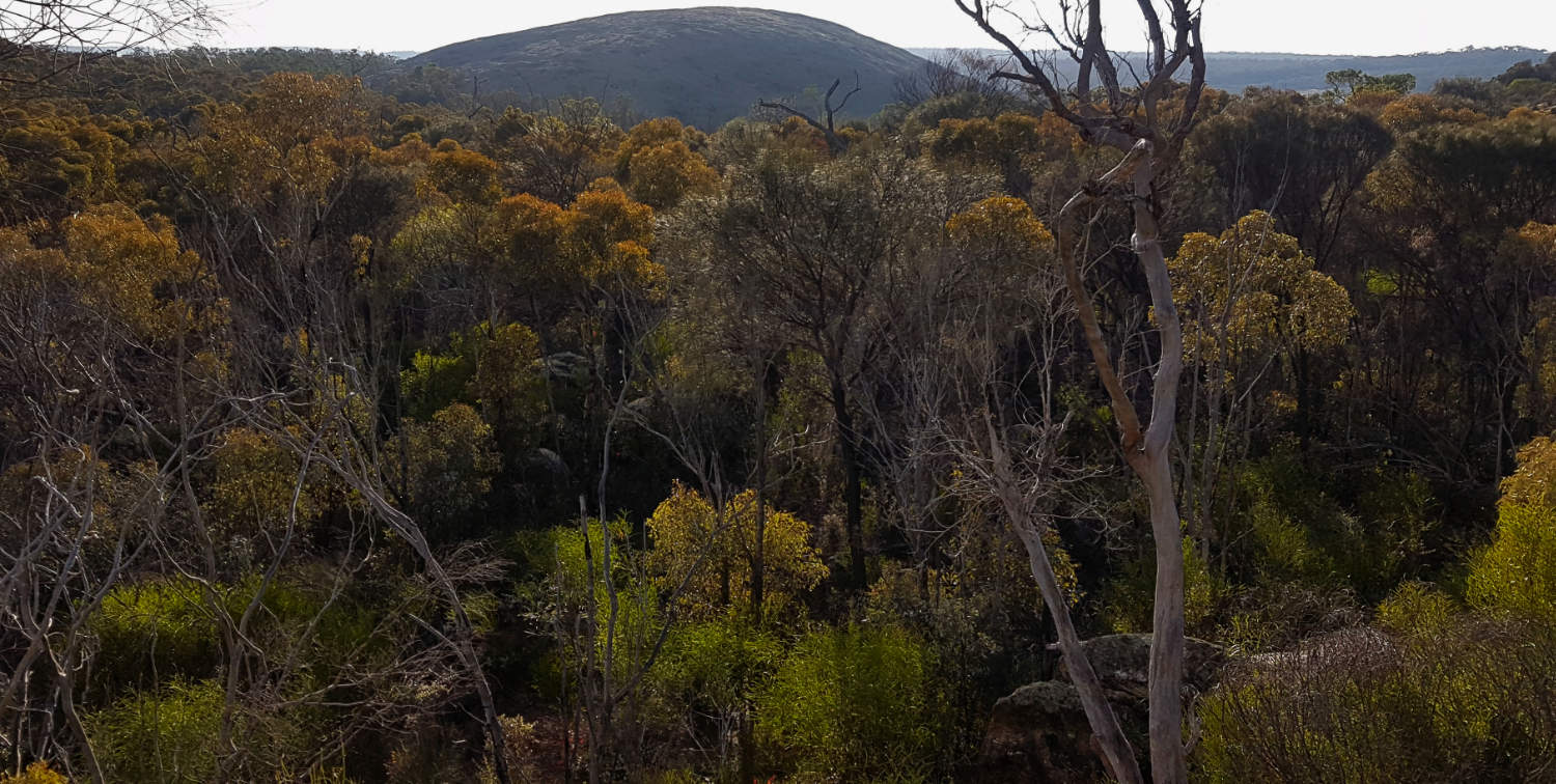
Yilliminning Rock is more typical as a large granite dome arising from a gently undulating landscape.
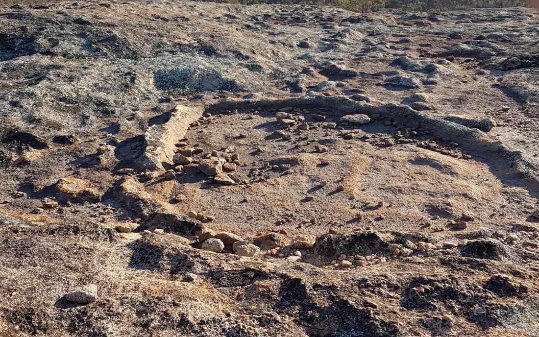
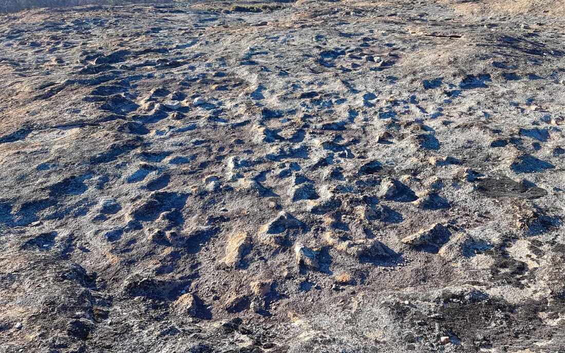
In the early morning, variations in the texture of Boyagin Rock granite can be seen in strange shapes where there has been uneven weathering of the rock. Look closely and you can see lines and mini ‘craters’ and lumpy spots on the otherwise smooth granite.
83 million years ago India finally separated from western WA and drifted north to crash into Asia.
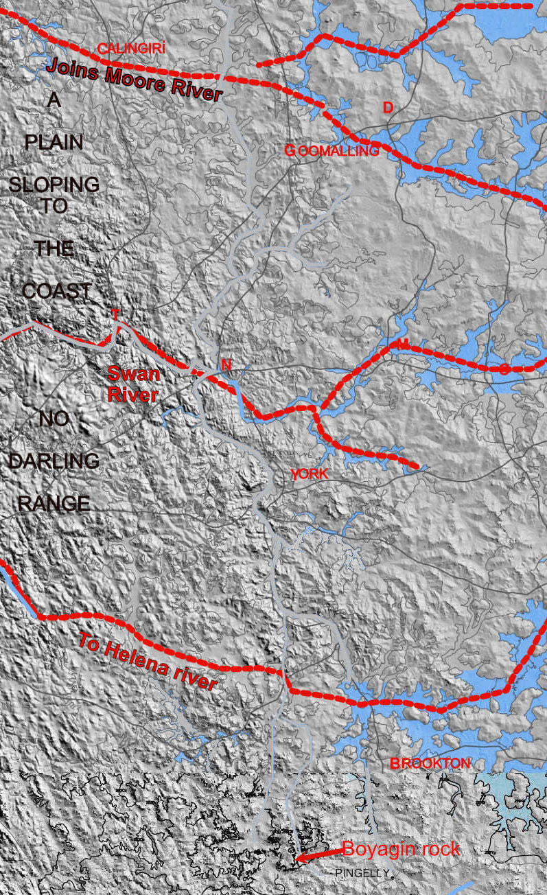
With the weight of the Indian block removed, a line east of the Darling Fault from about Carnamah to the south coast bulged upwards to create the Darling Range. The land rose about 250 metres and was accompanied by other parallel downward and upward folds in the ground to its east.
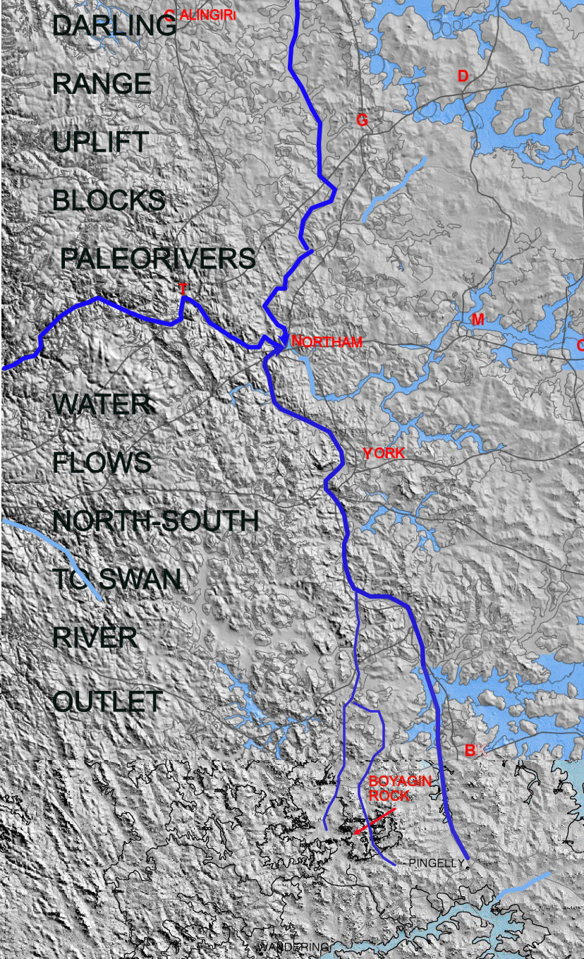
These changes in slope completely blocked the old east-west flowing rivers and the blocked water ran down a new valley south from Dalwallinu (Mortlock North branch), and North from Pingelly (Avon South branch) into the Swan River.
The newly created Boyagin Creek then exposed Boyagin Rock.
General north- south river systems and lines of ridges in the Darling Range can be seen on the before and after diagrams
The Darling Range may also still be slowly rising so the old rocks may still be rocking. Of course the Wagyl also had a part to play.
Click this link for a visual exploration of the rock.
Next time you climb Boyagin Rock take a good look around and be grateful for this true rock of ages.

