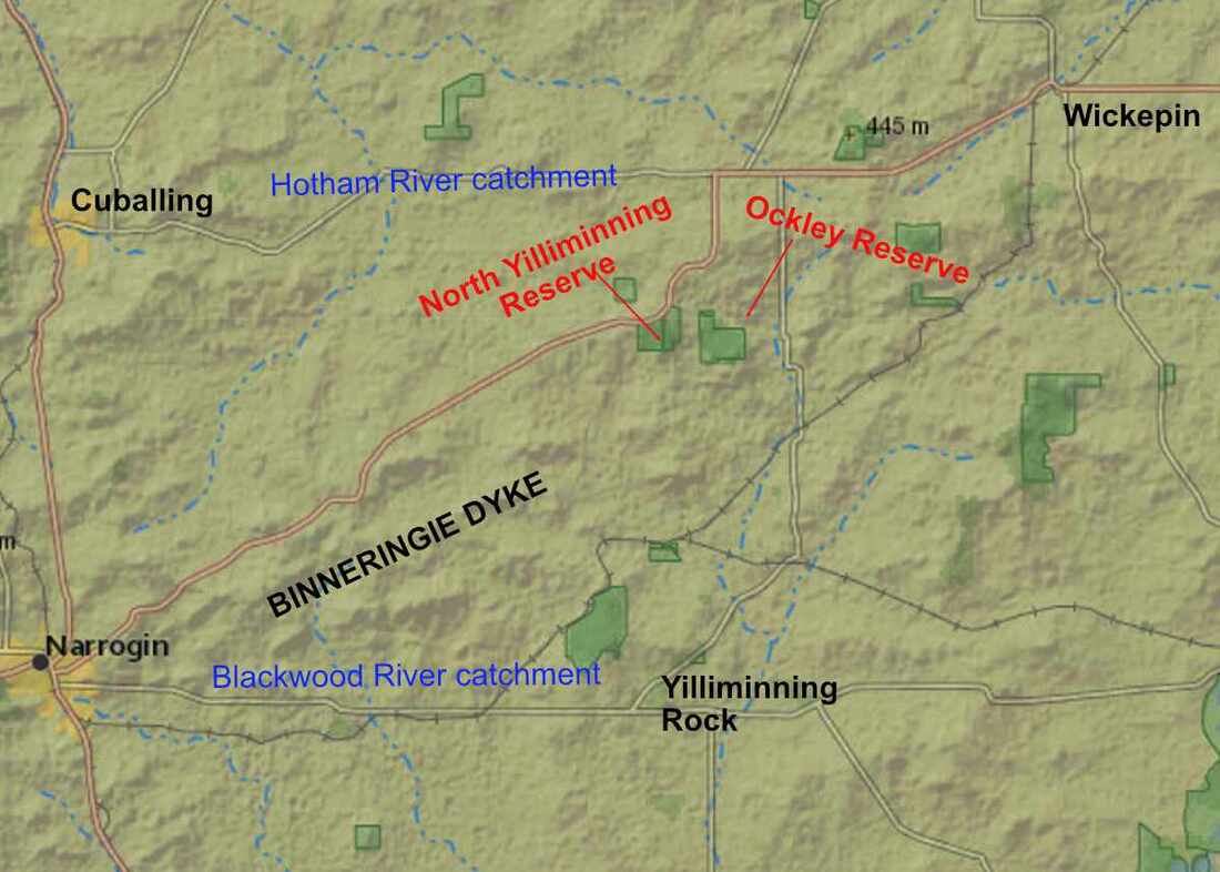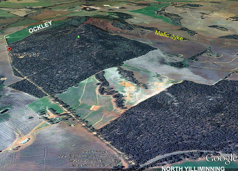
Water from the long slope flowing down to Armstrong Road from the ridge becomes part of the headwaters of the Yilliminning River.
The 145 hectare reserve has a triangle of uncleared private property containing a farm dam intruding on the road side, which is now effectively a part of the reserve. There are no roads or trails in the reserve.
I was unimpressed with this reserve when I visited it in 2020, because it hadn't had a burnt for decades and was very weedy.
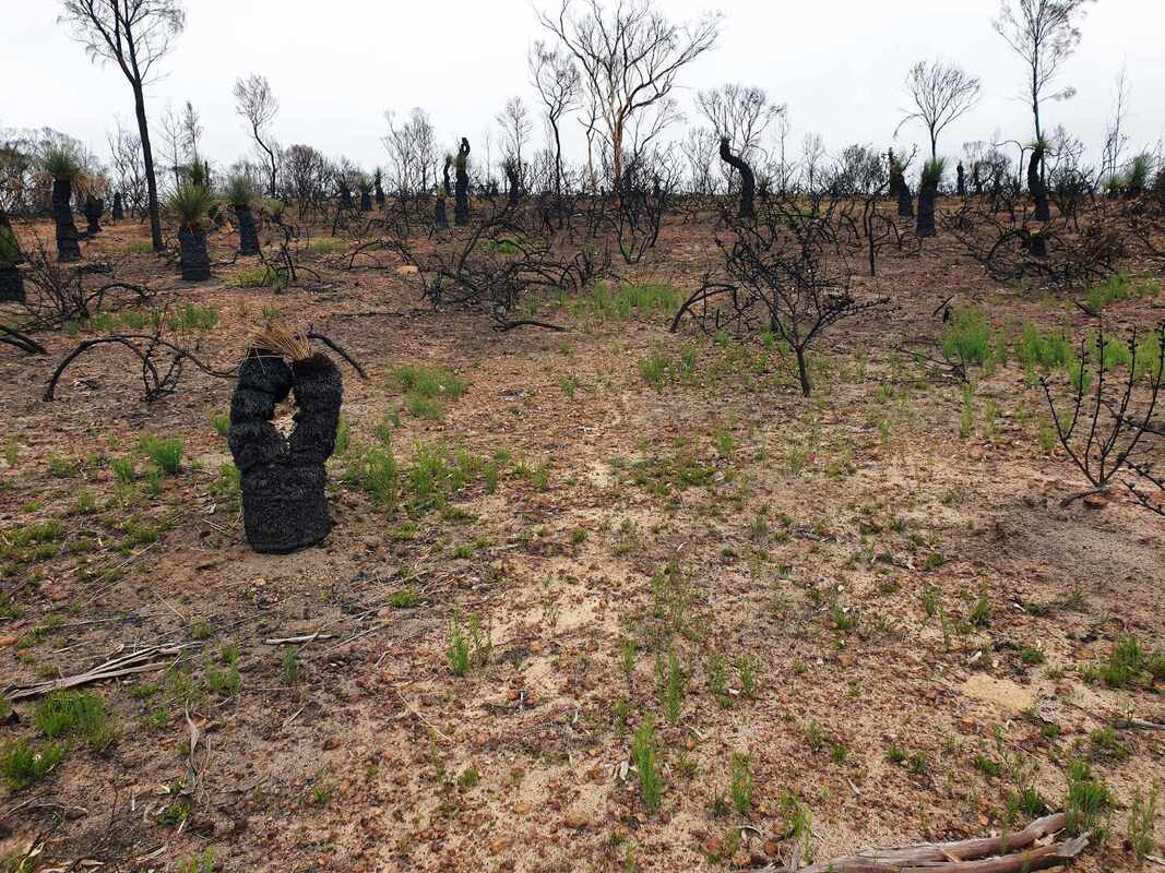
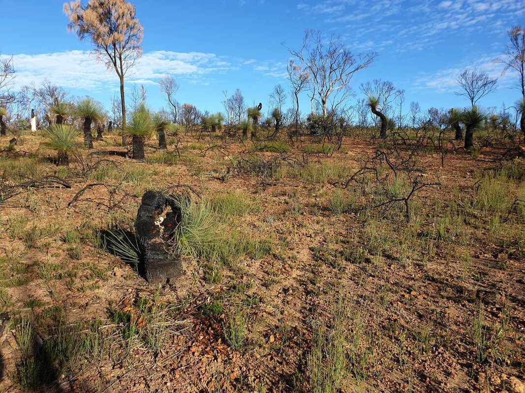
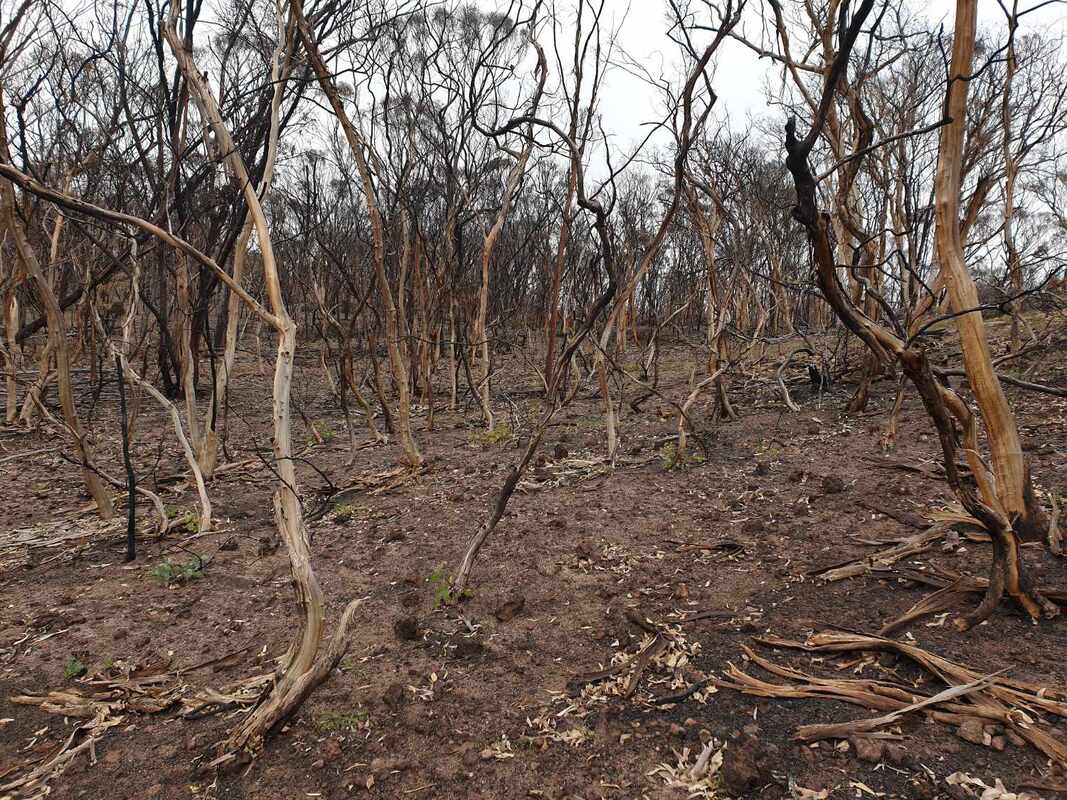
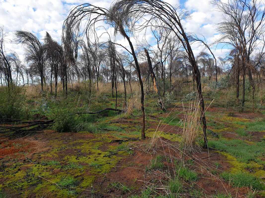
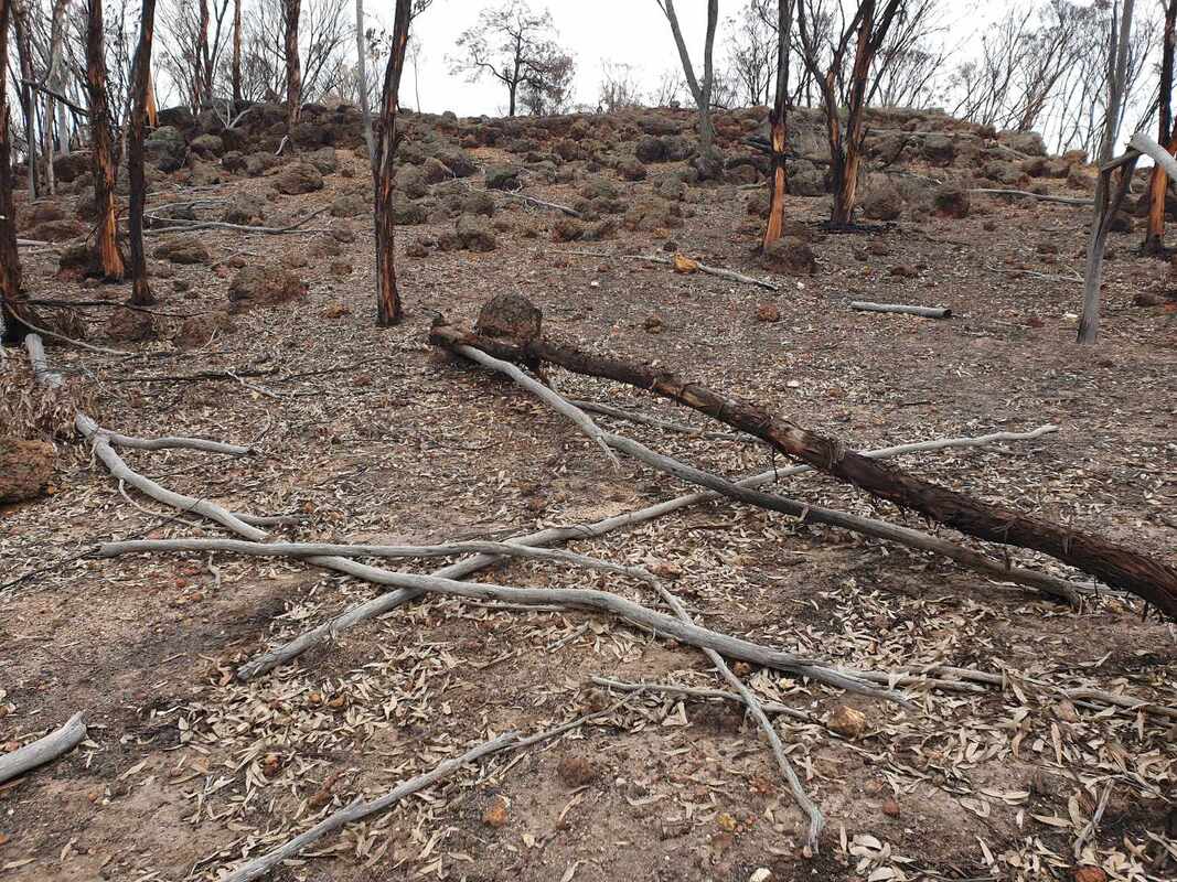
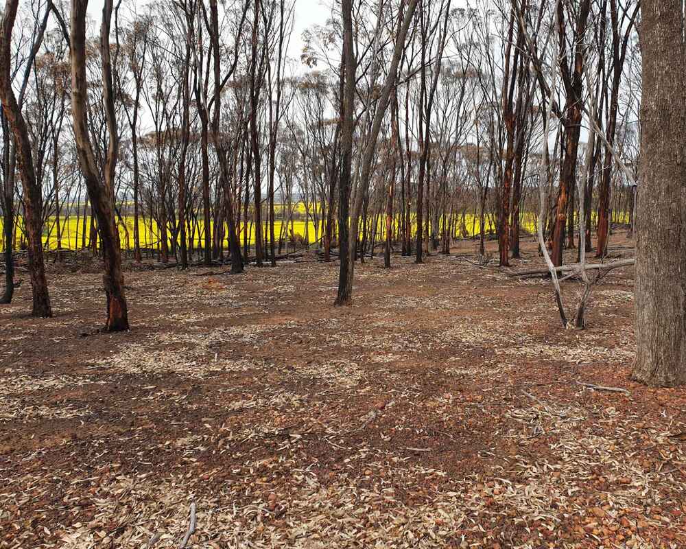
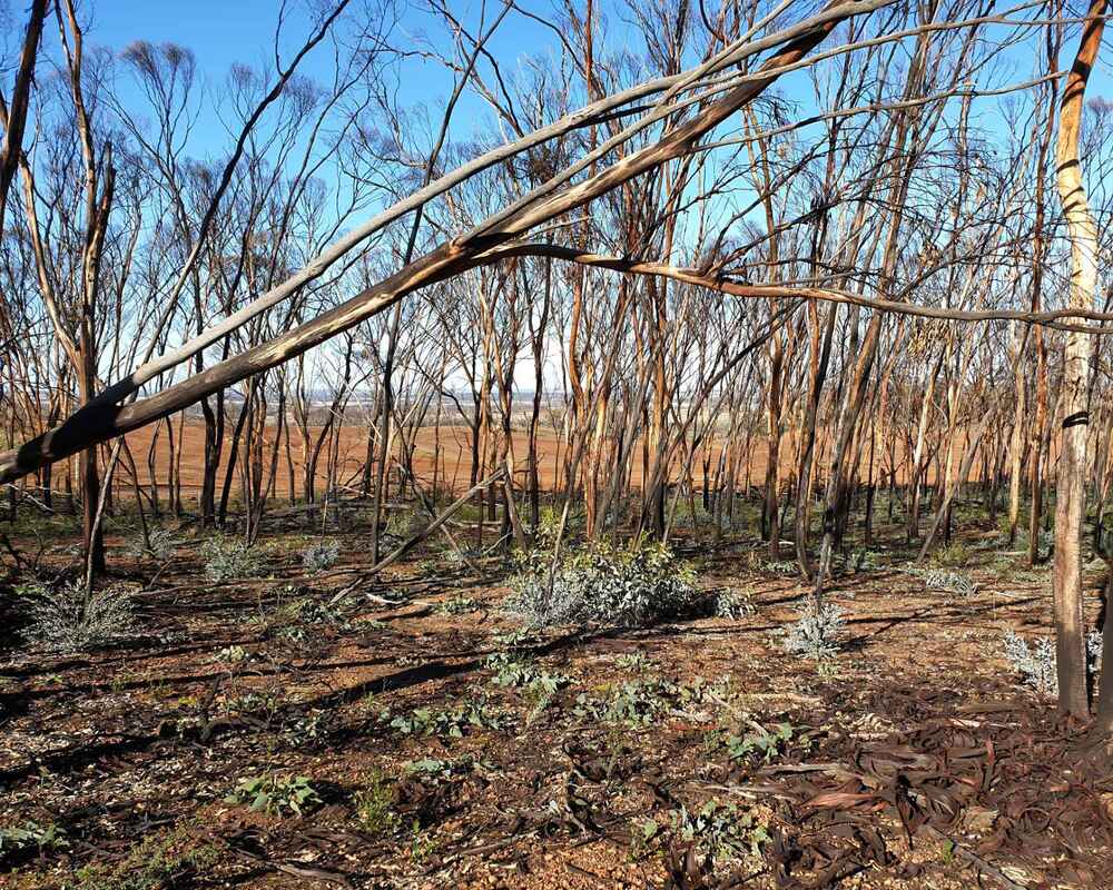
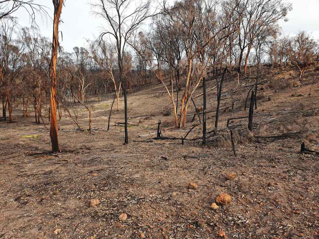
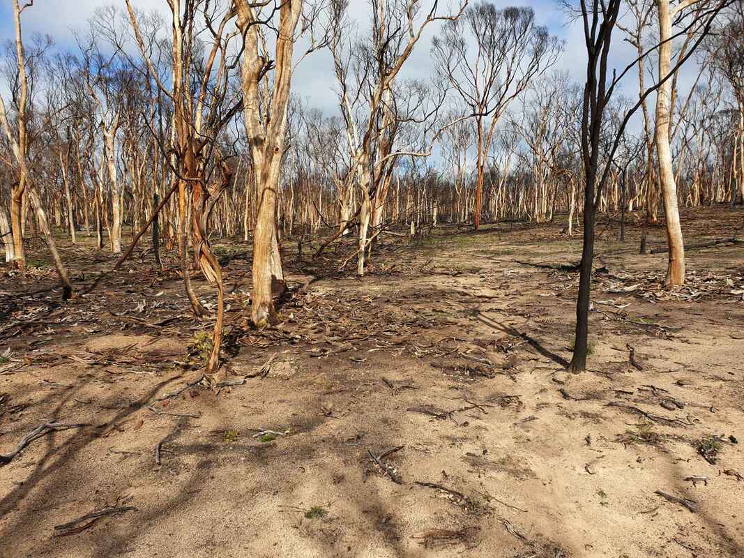
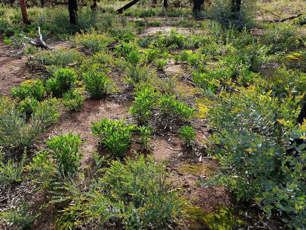
There has been a dramatic change after the devastating February 2022 fire. Most weeds were cleaned out and there has been massive post-fire regrowth. I expect a great wildflower show for the next 5 to 10 years.
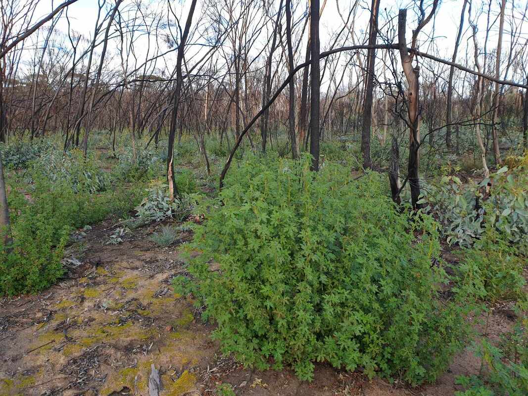
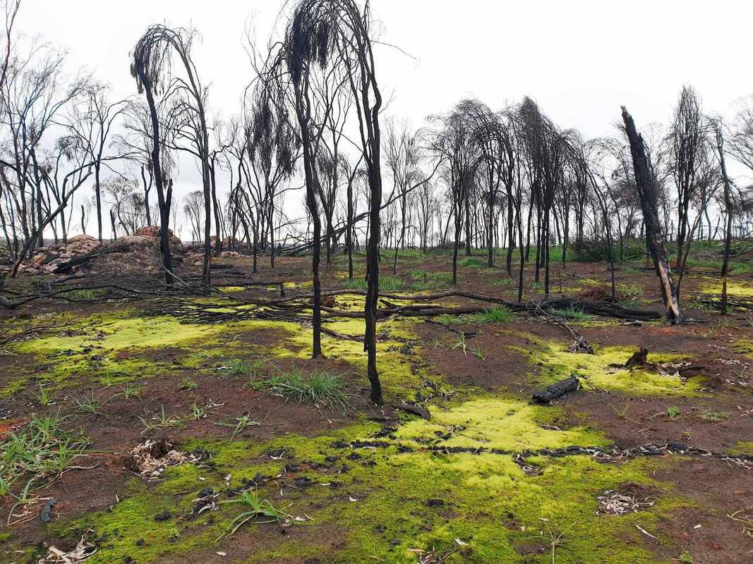
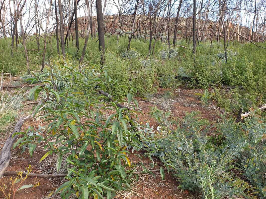
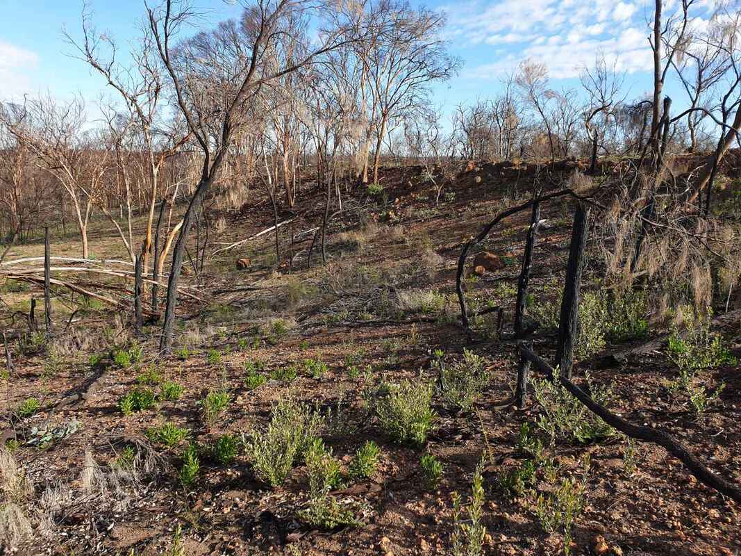
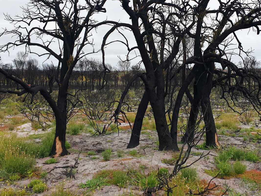
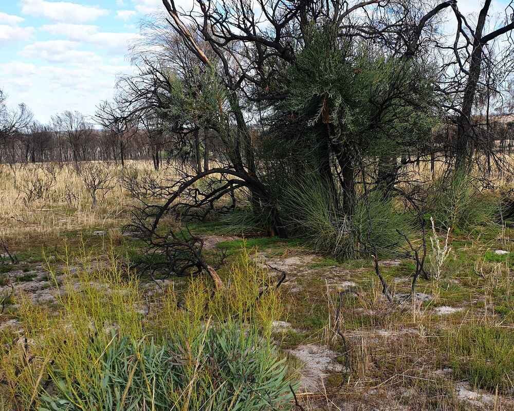
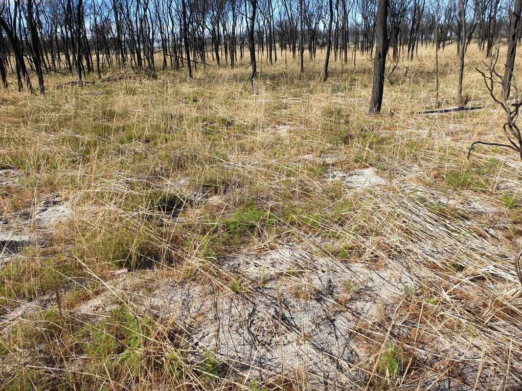
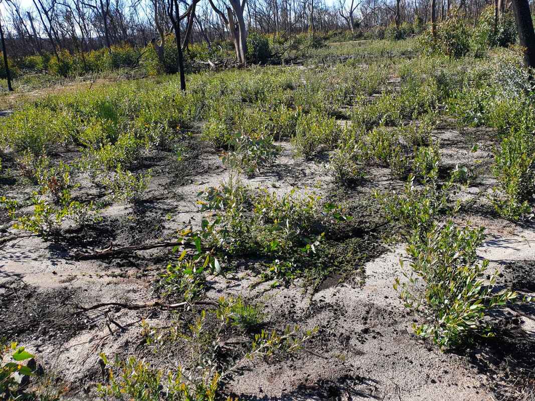
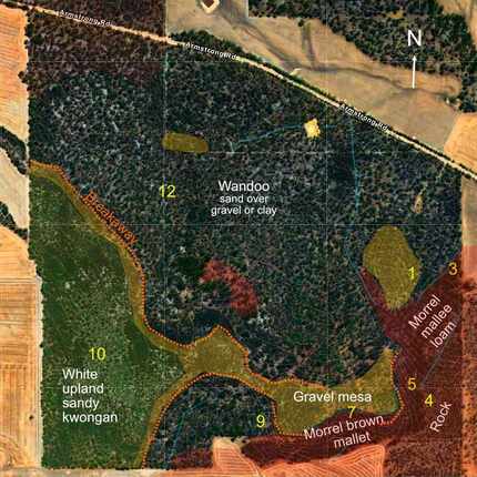
Number and range of regrowth has varied greatly with soil type, and I have set up photo monitoring points to record the changes in future years. I regret not keeping any images before the fire. Examples shown below show variable regrowth across the reserve.
Numbers on the map indicate locations of following photographs taken seven and sixteen months after the fire.
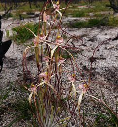 Caladenia varians
 Interestingly There has been a widespread growth of Austrostipa (mollis?) native grass. This was surprising, because I associated native grass meadows with indigenous firestick farming on valley soils. I also noticed the same grass growth this year on grey sandy soil at Birdwhistle Rock.
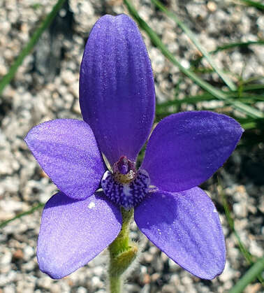 Cyanicula gemmata at Ockley
 Most trees have resprouted and there has been a large germination of shrubs, particularly poisons and other pea plants.
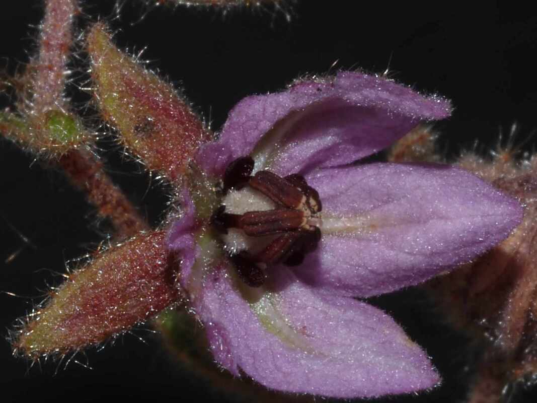
In a few years this slope will have a mass of pea flowers in spring. Last year there was a fine patch of Blue China Orchids in a waterway.
