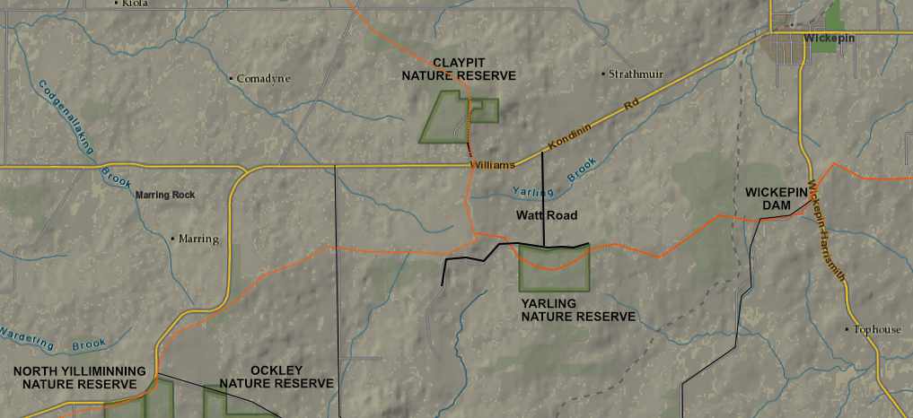
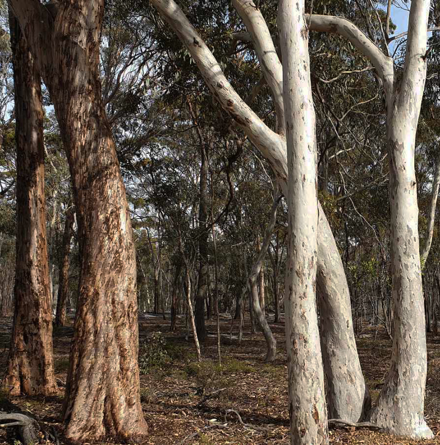
The 100 hectare Yarling Nature Reserve (36 kilometres east of Narrogin, 7 kilometres west of Wickepin, originally a mallet reserve), is a rarely visited patch of bush. Turn south from Williams Kondinin road on to Watt Road to access the reserve. The view from the road is mostly uninviting due to dense woodland, which hasn't been burnt for decades. This is not a place for the average tourist as there are no trails or facilities, and it is difficult to walk through some areas.
However, it is an interesting spot with an attractive and wildflower-rich kwongan sand valley on the southern edge.
However, it is an interesting spot with an attractive and wildflower-rich kwongan sand valley on the southern edge.
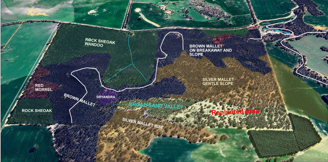
Orange dotted line marks catchment boundaries.
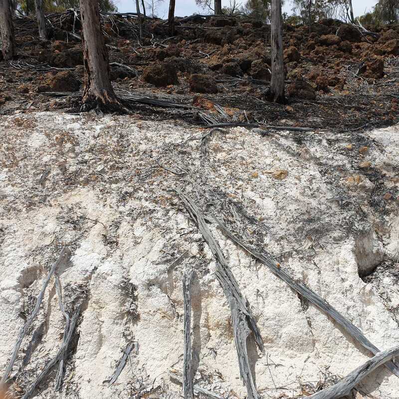 Gravel over pallid zone clay
 This area is part of a major watershed, which separates the Hotham, Arthur and Avon River catchments. It contains remnants of an ancient undulating lateritic plain, which has been eroded by river systems to the underlying granite. The millions of years old plain can be likened to a layer-cake, with the top layer of gravel, sand, or ironstone overlying a pale/mottled clay (pallid zone) over decomposing granite or dolerite.
Like most reserves in the district, Yarling is mostly agriculturally poor laterite or rock. A line of breakaways separate a remnant of the ancient plain from more recent soils on underlying layers to the north and west.
Like most reserves in the district, Yarling is mostly agriculturally poor laterite or rock. A line of breakaways separate a remnant of the ancient plain from more recent soils on underlying layers to the north and west.
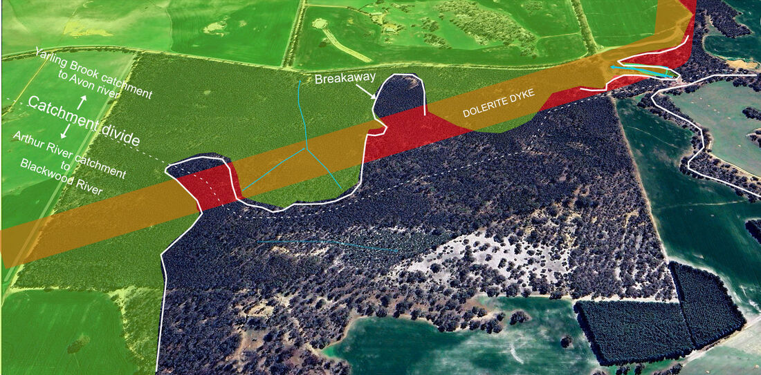
Ancient sandy/ gravelly plain (uncoloured) southwest of a line of breakaways
The northern breakaway roughly follows a dolerite dyke, which is is associated with the Binneringie Dyke further to the south. This is because the dyke was more resistant to erosion from the granite contact line being 'cooked' into more resistant rock, and stony laterite formed on dolerite being more erosion-resistant than that formed on granite.
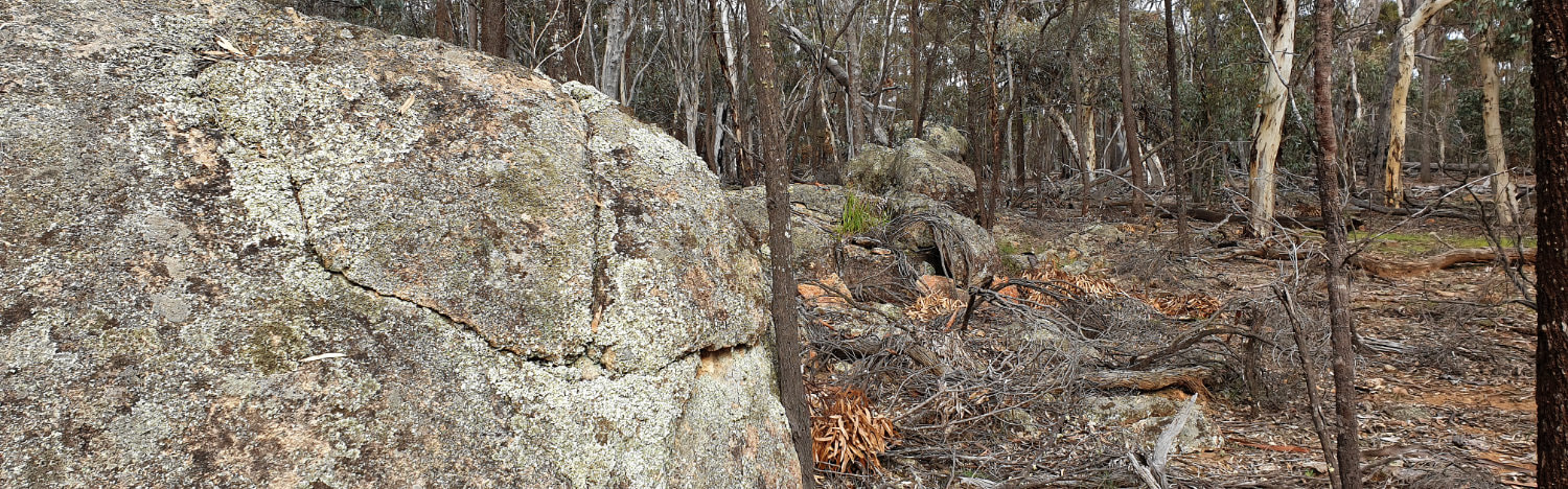
LIne of granite rocks in Yarling Nature Reserve mark contact with the dolerite dyke (brown soil) on the right
| Rock sheoak woodland is associated with more fertile granite or dolerite rock soil. In the north-western corner, one can see a raised bank in the bush, which is the remnant of the first railway line from Narrogin to Wickepin. Built in 1910, it was dismantled after being replaced by a heavier gauge deviation in 1915, which runs past Wickepin Dam. The following map is a copy from an excellent account of Wrayton Farm by Rhonda Bartlett. | 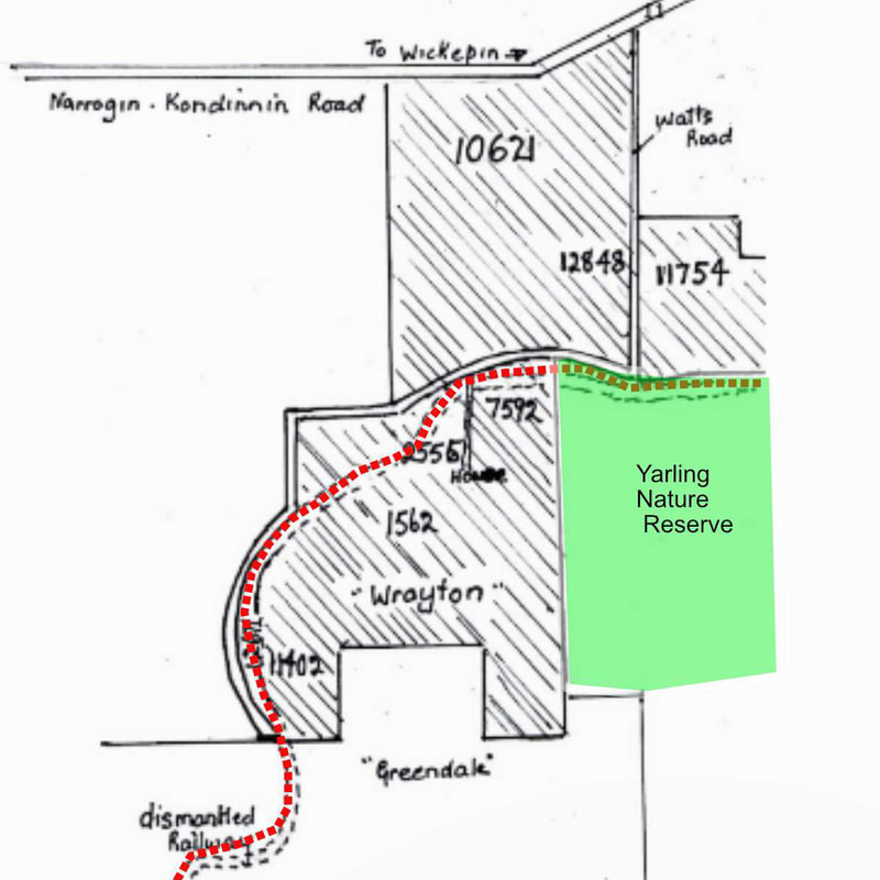 |
Much of the sheoak forest is choked by dead saplings, which germinated after a wildfire over 50 years ago, and have slowly died off due to competition without any other fires to remove the dead litter. The shrub understorey has become impoverished because shrubs that depend on fire for germination have died.
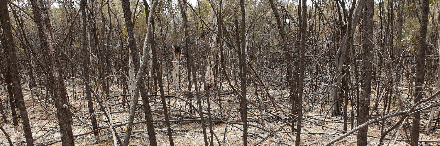
Sheoak woodland impoverished by lack of a cool burn to regenerate the understorey
A few patches of open Red Morrel woodland occur on dolerite brown loam.
Red Morrel / Eucalyptus longicornis tree with sparse understorey on brown soil overlying dolerite
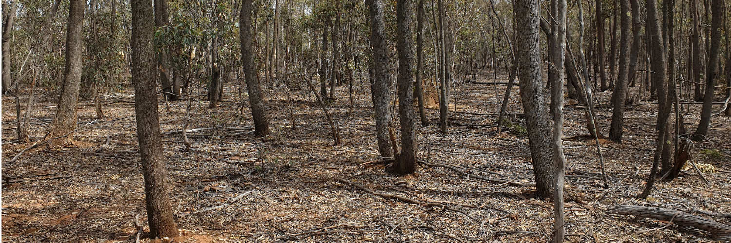
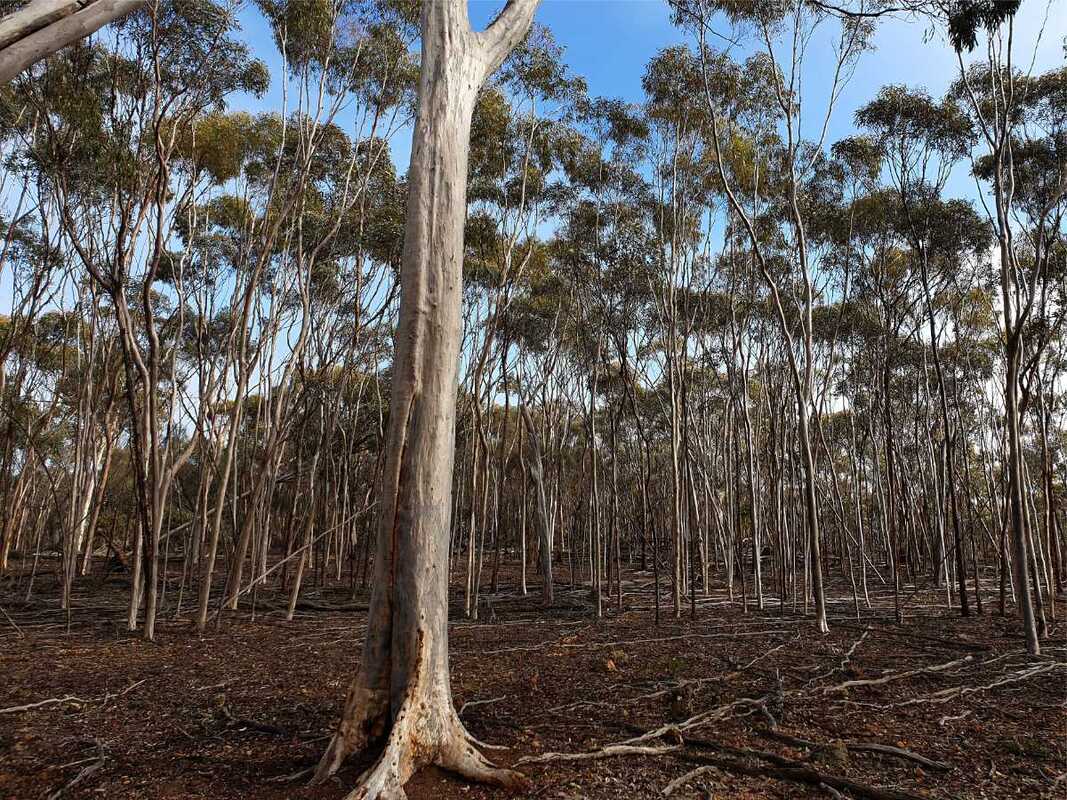
Brrown Mallet whipstick woodland lines the breakaway slopes and edges and other areas where the pallid zone clay layer below the gravel is exposed. The mallets are mostly a uniform size due to mass regrowth after the fire over 50 years ago. Since then the stand has been very slowly thinning in a fairly monotonous landscape.
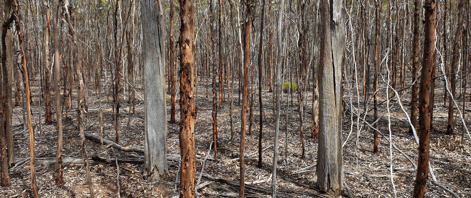
Brown mallet whipstick woodland. Large dead trees were killed in a hot fire, which germinated seedlings decades ago.
 Eastern edge breakaway | 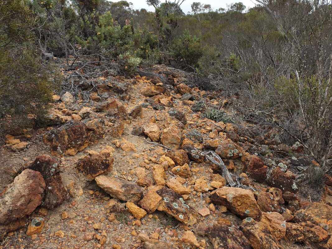 Dryandra tea / tree breakaway | 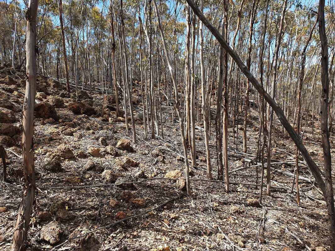 Brown Mallet breakaway |
 Brown and silver mallets
 The ancient lateritic plain on the south eastern side contains lateritic stony and impoverished soils. There are a few stony dryandra ridges and an gentle slope of open Silver Mallet Eucalyptus falcata woodland interspersed with brown mallets. Silver Mallet is a beautiful tree, which can be confused with Salmon Gums. However, Silver Mallet only grows on lateritic gravel soils, and Salmon Gum occurs on clay slopes and valleys.
on the southern edge there is group of rare Brown Mallet / Red Morrel hybrids.
on the southern edge there is group of rare Brown Mallet / Red Morrel hybrids.
 Silver Mallets | 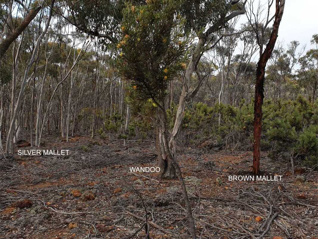 Silver Mallet merging into dryandra stony gravel | 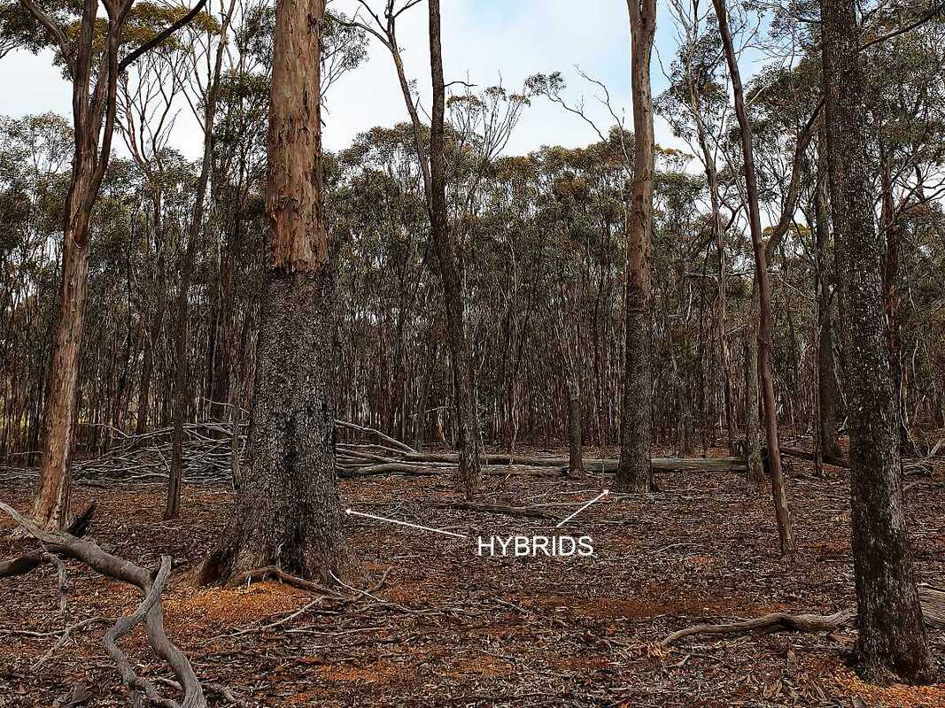 Red morrel / Brown Mallet hybrids |
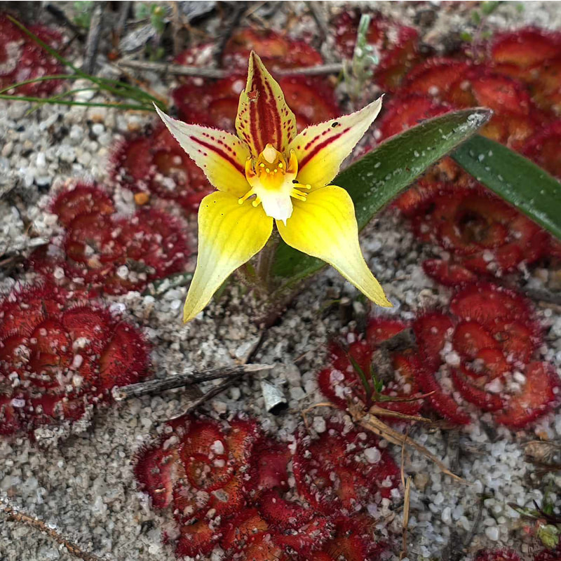 September
 Species-rich winter-moist kwongan sandplain on a very broad sandy valley on the southern side contains an a wide range of unusual wildflowers, with varying flowering times from August to November. The lower end is mainly dense Eremaea pauciflora shrubland crossed by numerous kangaroo tracks. From September to November I noticed plants flowering with the best in late October. The easiest way to reach this area is to walk east from the patch of Red Morrel trees on the western side, but it is not easy walking.
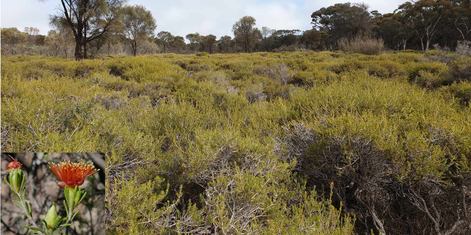
Eremaea pauciflora sandy winter-moist shrubland
as one walks up the valley Eremaea pauciflora gives way to other species such as Calothamnus quadrifidus and Verticordias on yellow sand then Callitris pines.
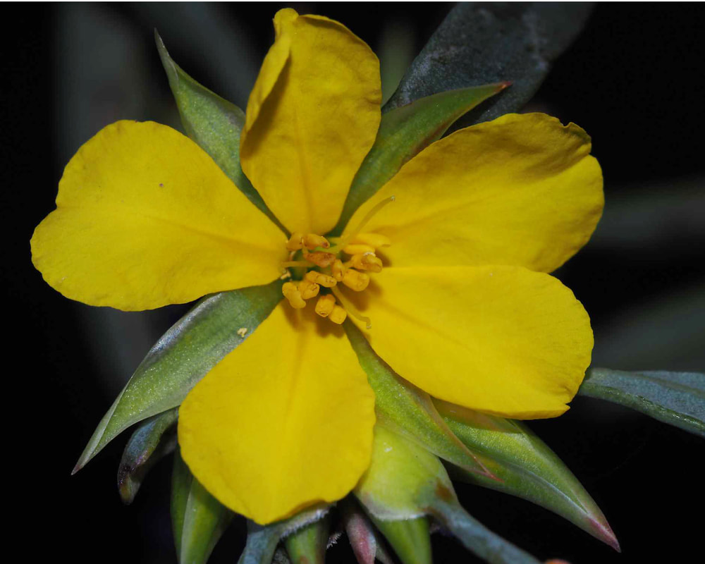 Hibbertia subvaginata late September | 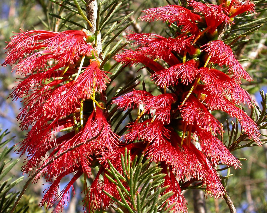 Calothamnus quadrifidus late October | 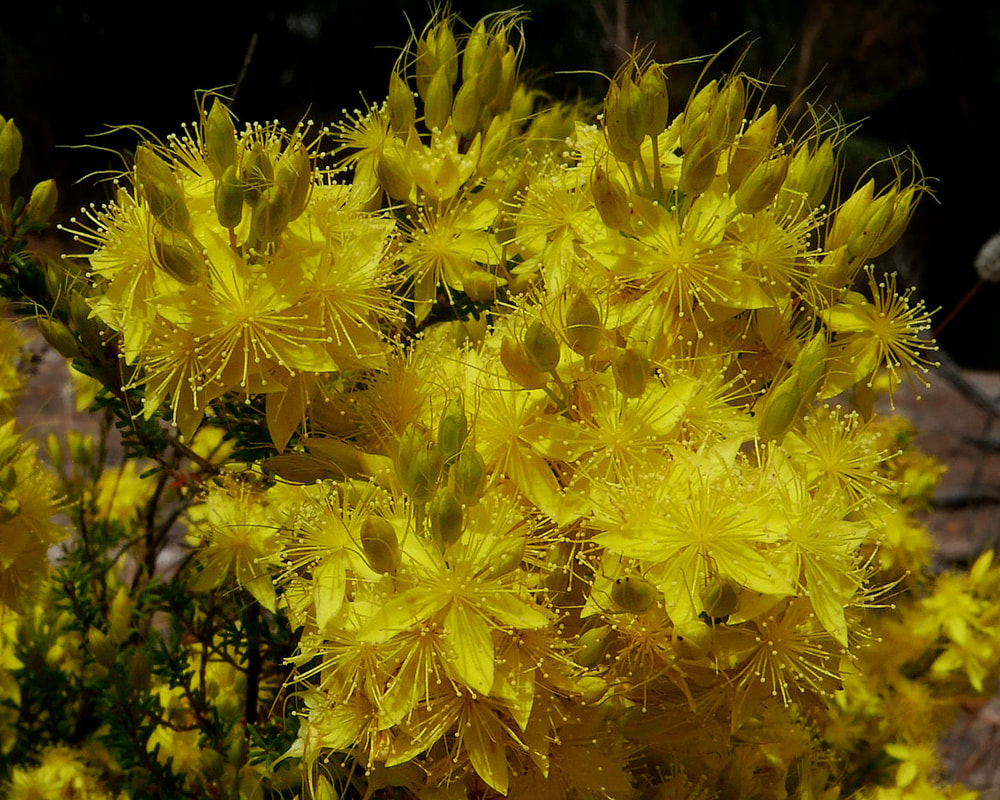 Calytrix flava Early November |
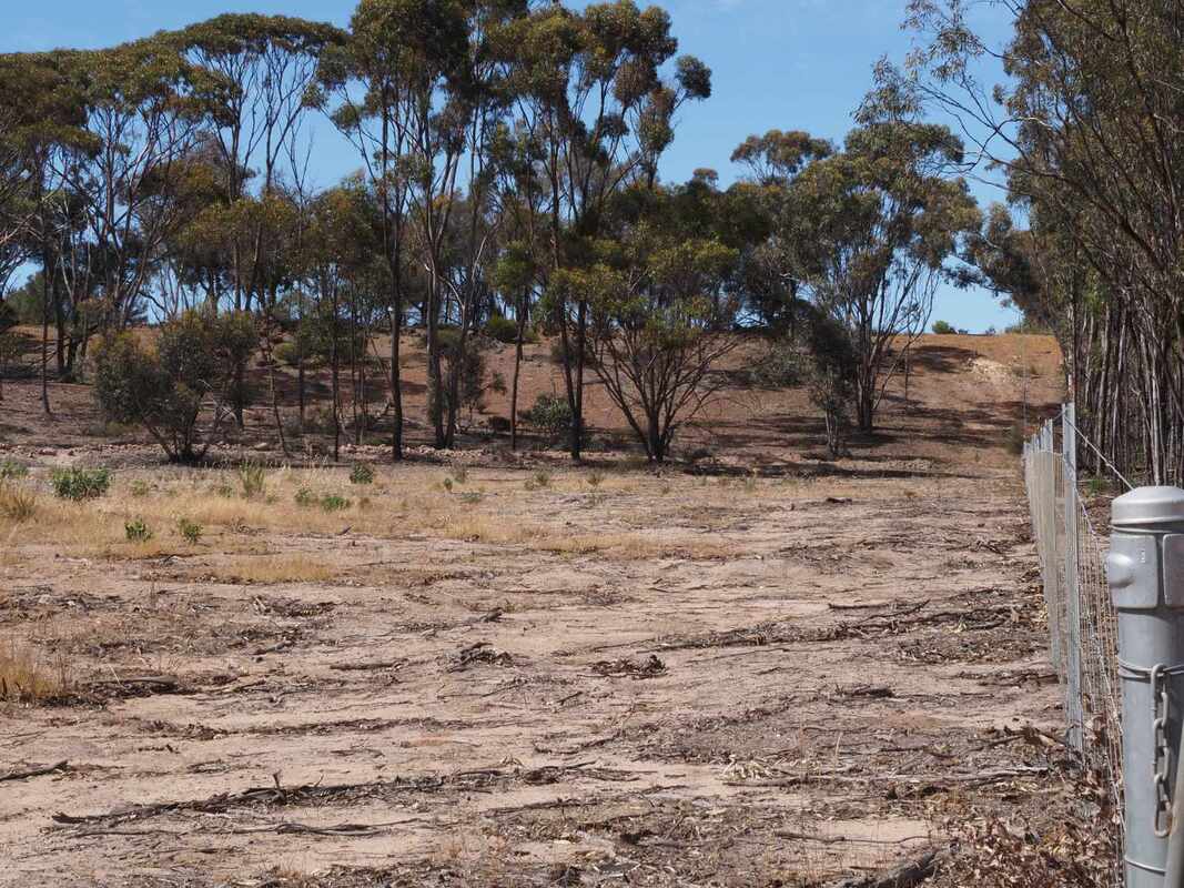
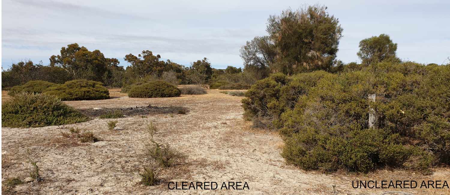
A triangle on the south eastern edge was illegally cleared, which is very sad as most of it was wonderful kwongan sandy shrubland of little agricultural value. It was replanted some years later in 1996 to wandoos and understory shrubs.
The wandoos and shrubs have grown well, apart from the deep white sand area. However after 27 years there are still extensive bare areas and very little recruitment of new species from the adjacent uncleared area.
Our native bush sandy soils are very sensitive, and recover extremely slowly once organic matter, seeds and native microbes has been reduced.
White sand. Poor recovery after 27 years
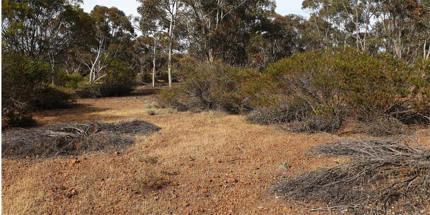
Gravel. Planted species have grown well but little recruitment outside of planting lines.