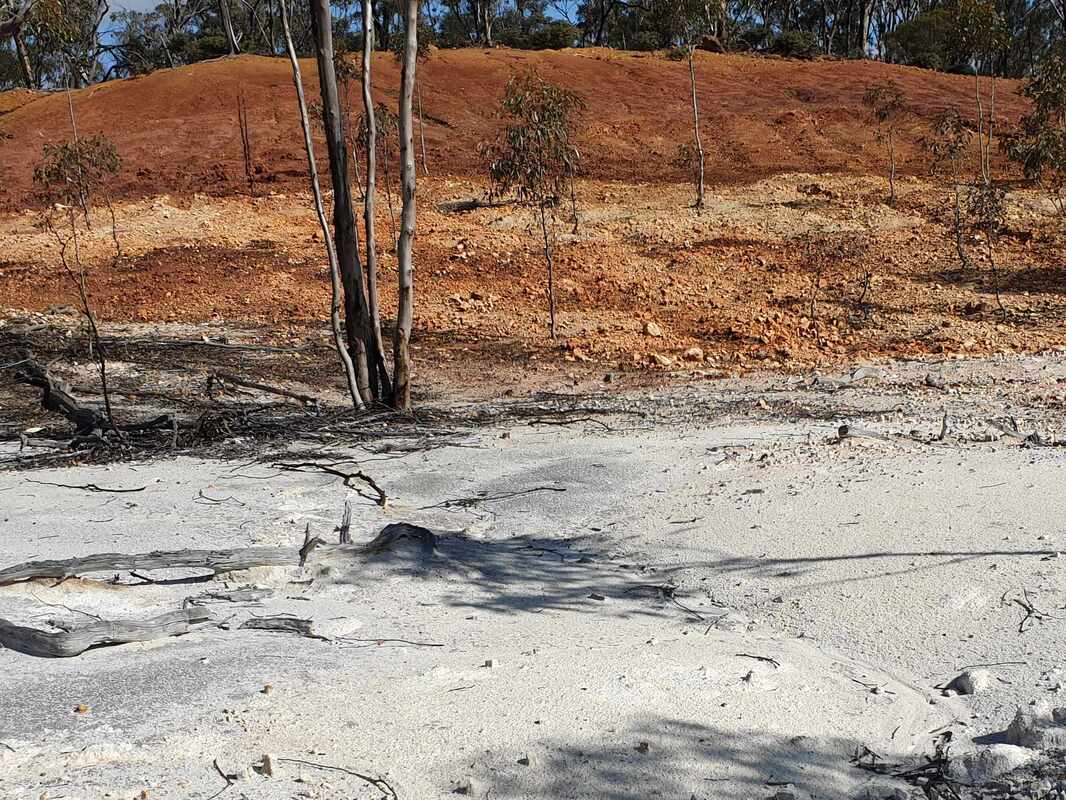
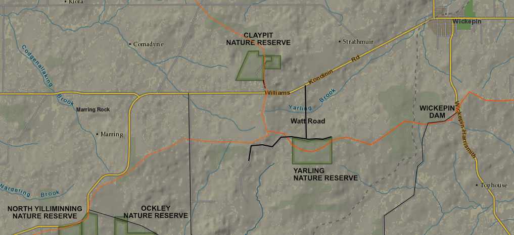
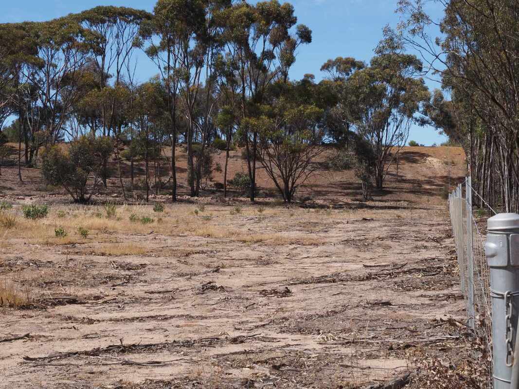
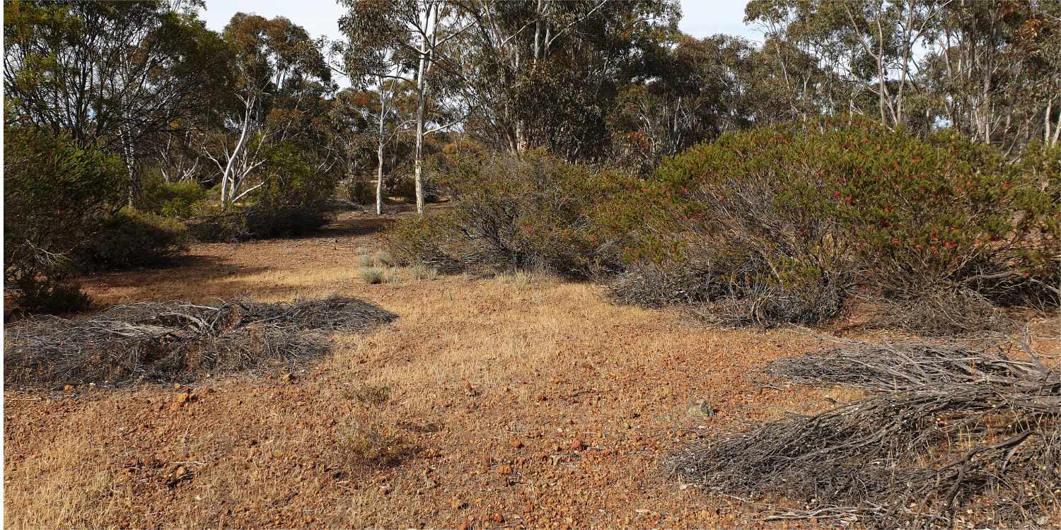
The devastating 2022 wildfire, which started near North Yiiliminning Nature Reserve has had an interesting consequence. In spring 2023 I discovered two very showy native plants in burnt areas, which had not been recorded in the area.
Alyogyne huegelii and Solanum symonii are both recorded in Florabase as mainly coastal species.
How can this be?
In my opinion it is a by product of plant type, soil type, fragmented natural vegetation and changed fire management.
Alyogyne huegelii and Solanum symonii are both recorded in Florabase as mainly coastal species.
How can this be?
In my opinion it is a by product of plant type, soil type, fragmented natural vegetation and changed fire management.
- Both species are fire ephemerals, which only live for 6 to 8 years, and need fire for seed to germinate.
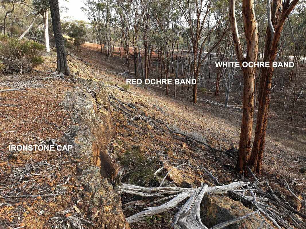
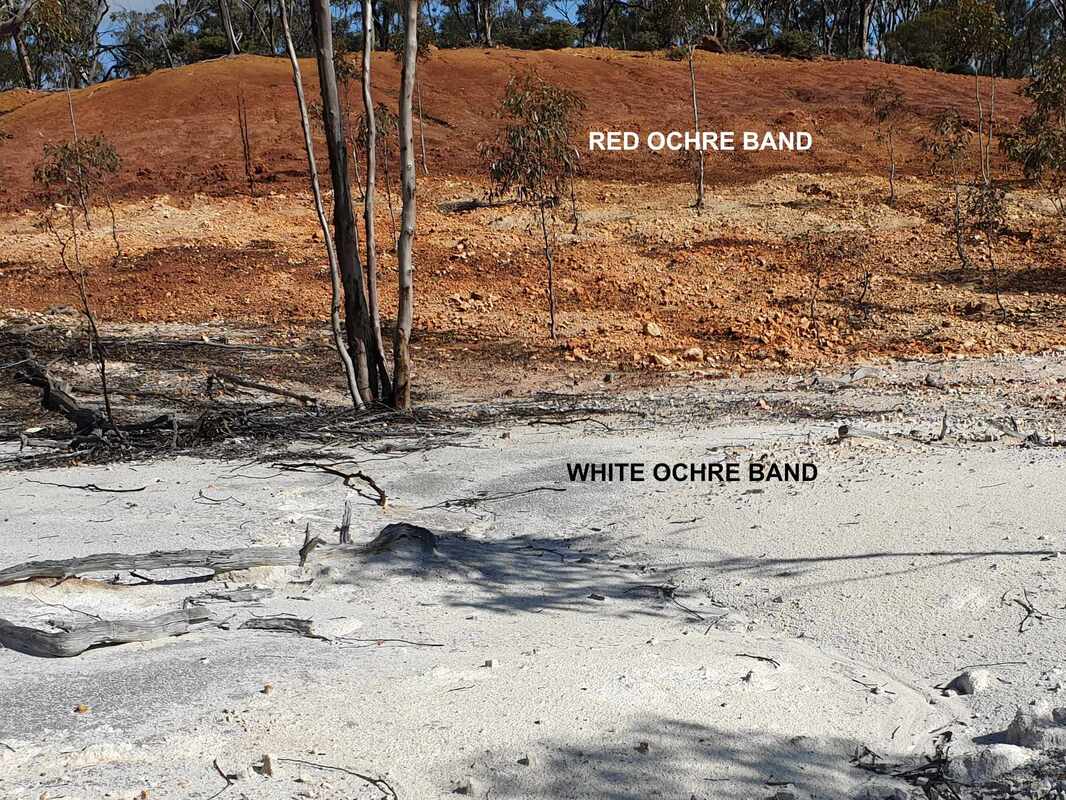
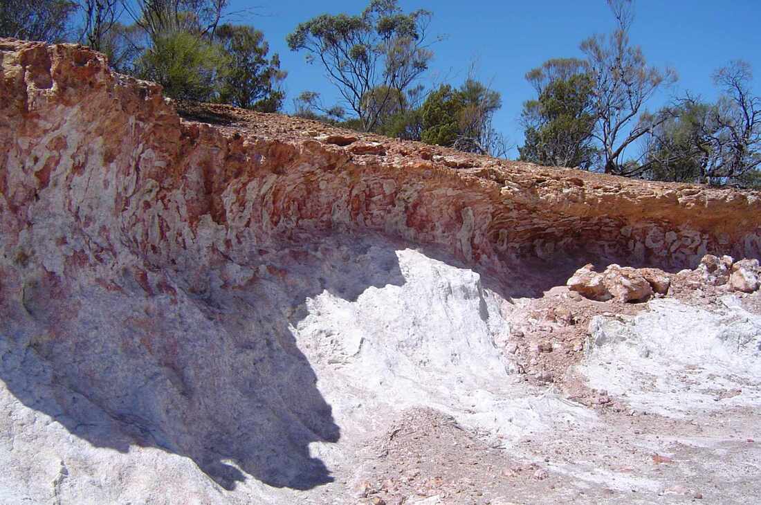
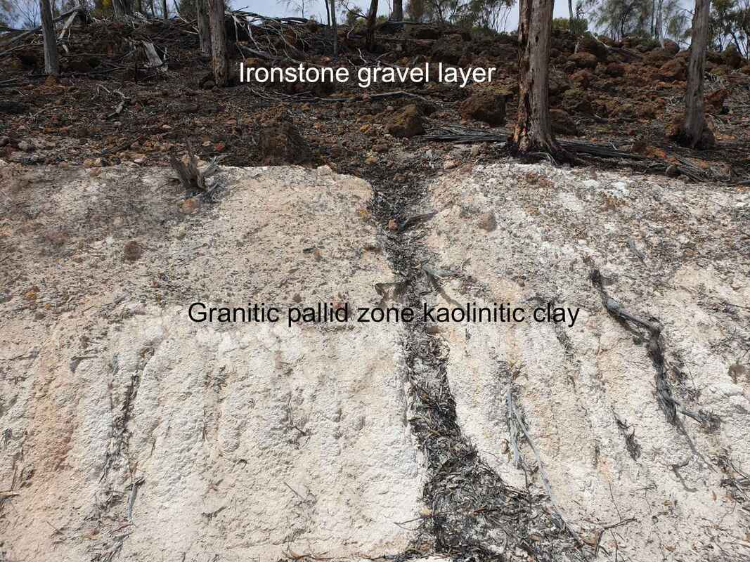
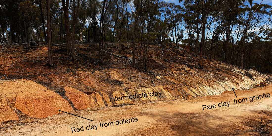
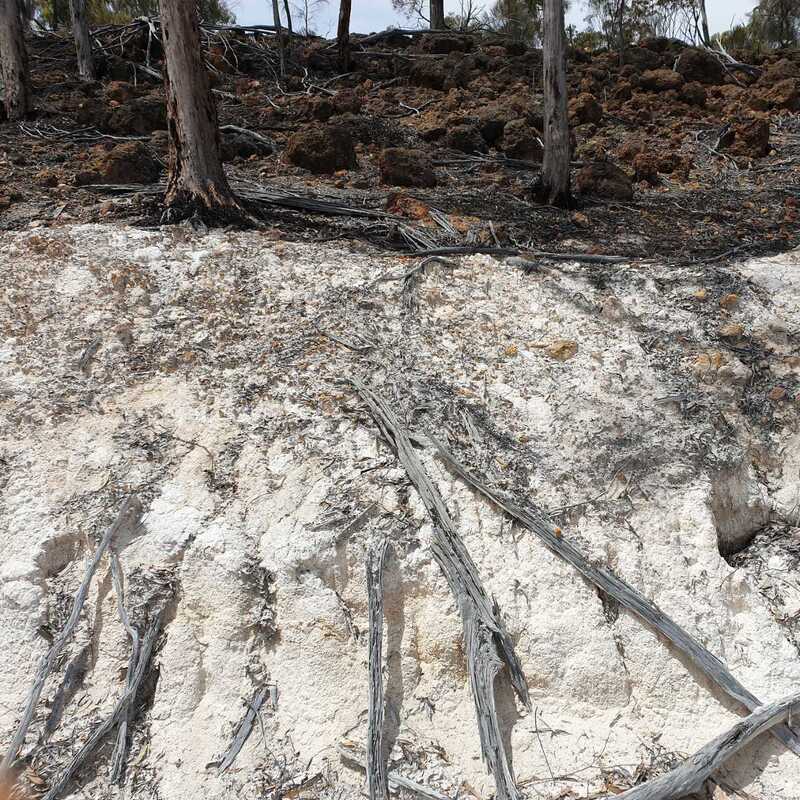
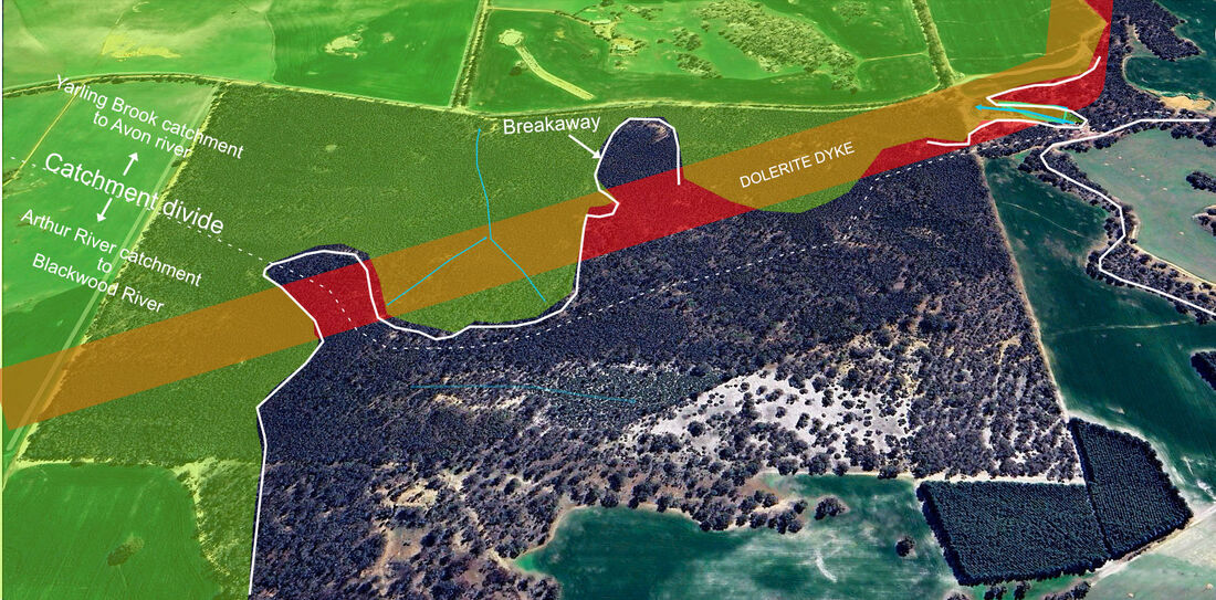
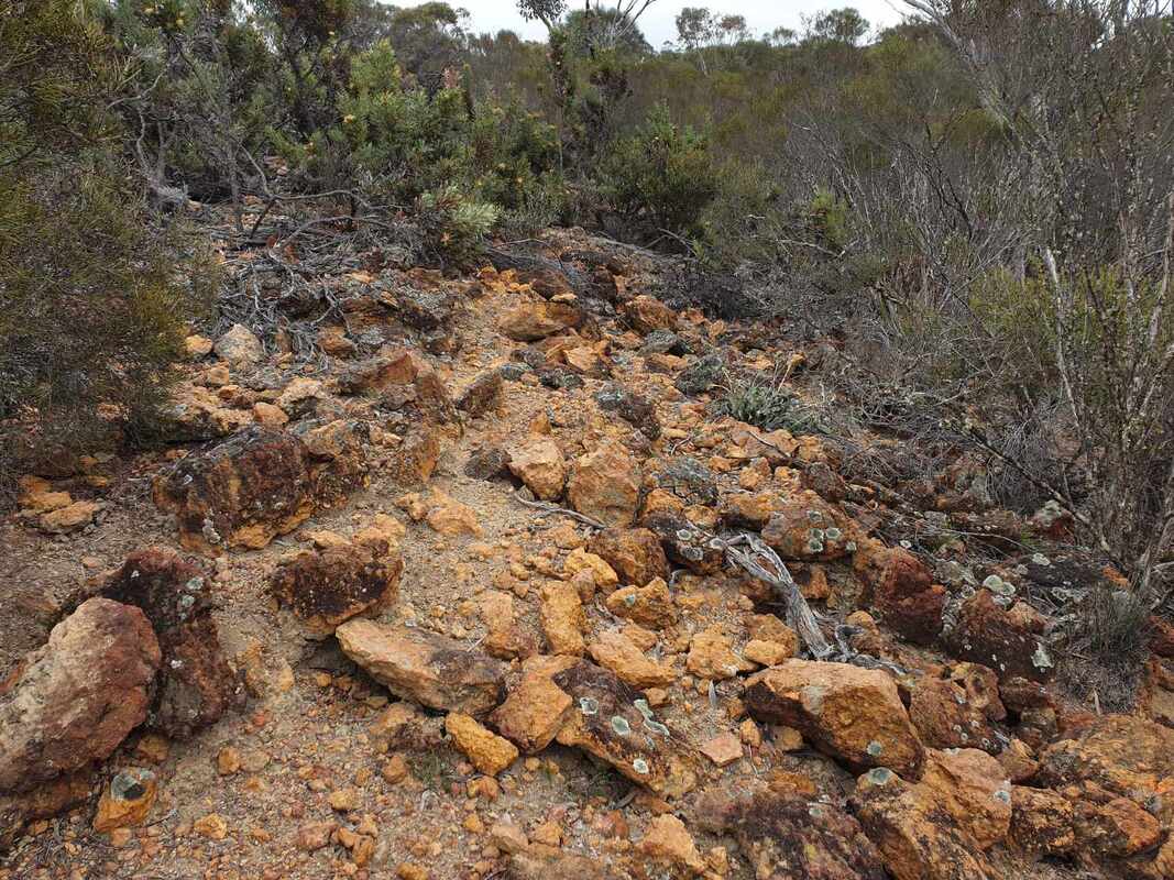
- Both occur here on sloping heavy red soil from mafic (dolerite) rocks, which usually occurs as lines from cracks in basement granite rock. These soils are less common in our reserves, because they are good farming soils.
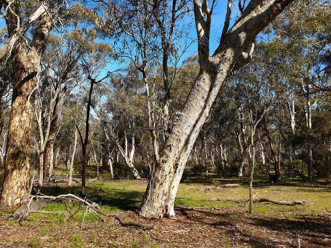
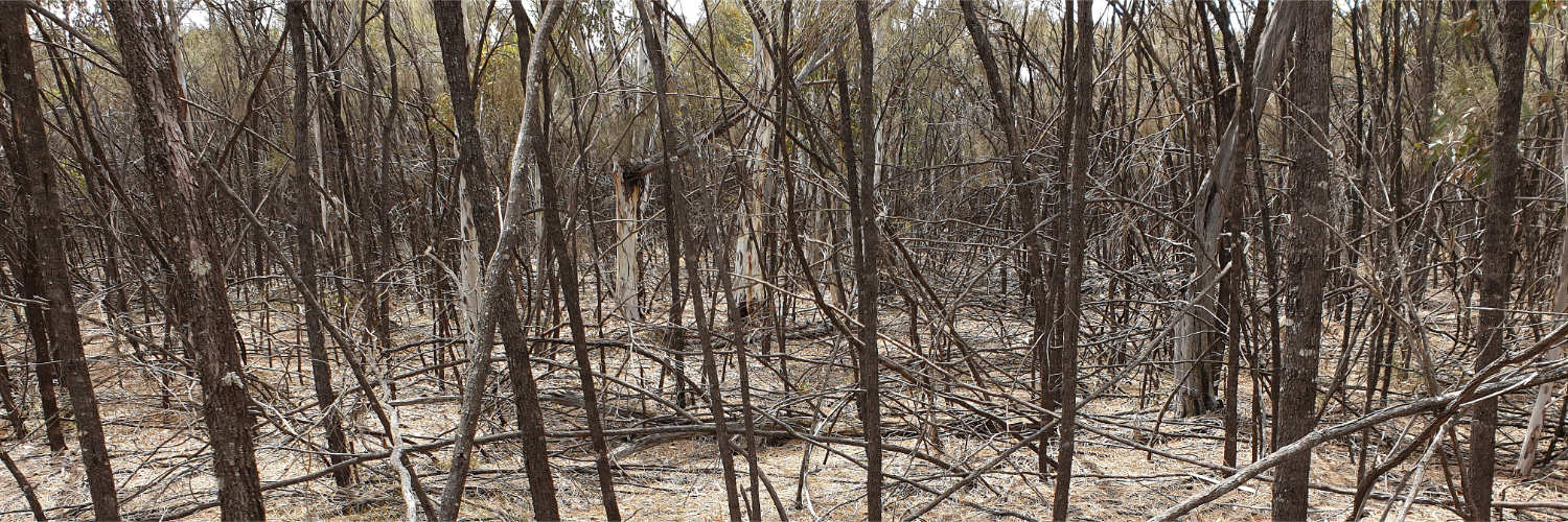
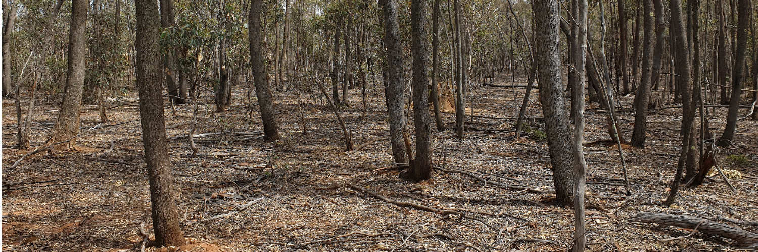
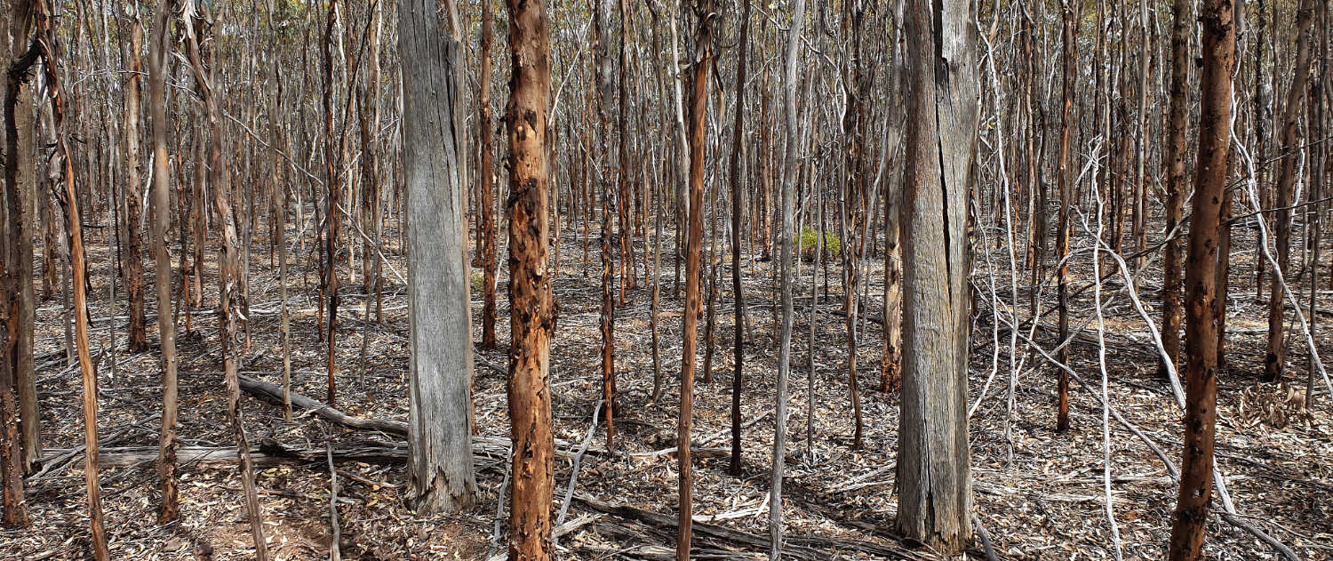
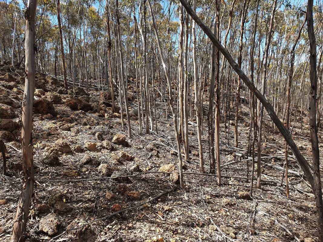
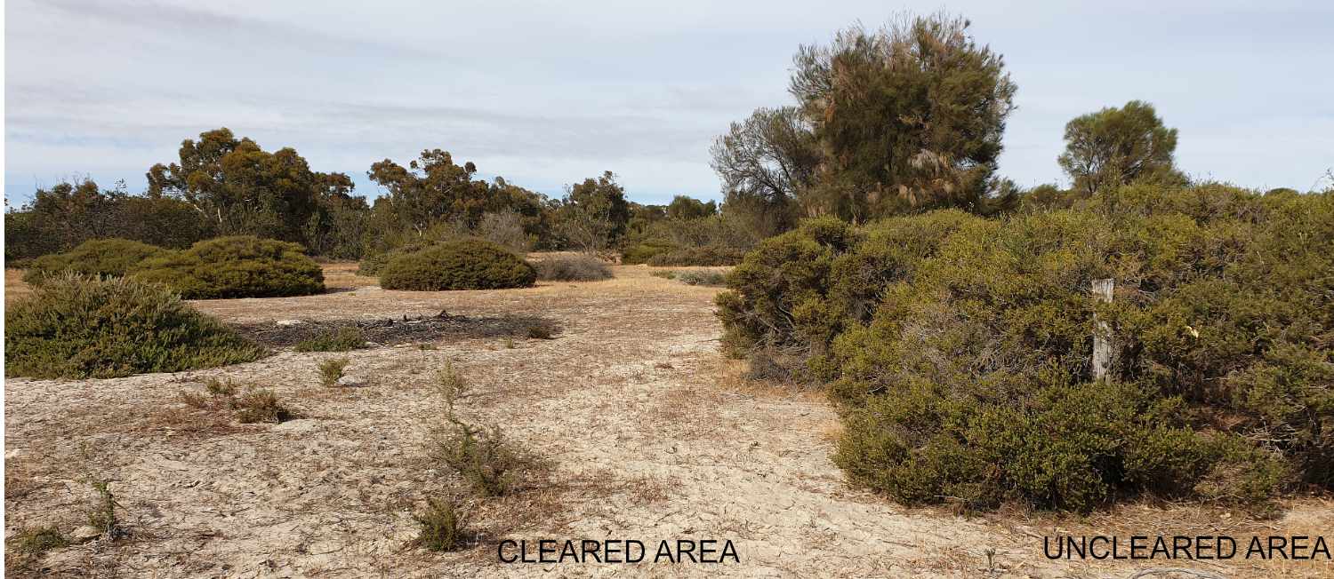
- Scattered wheatbelt reserves are not actively managed. Ockley and Birdwhistle reserves had not been burnt for decades
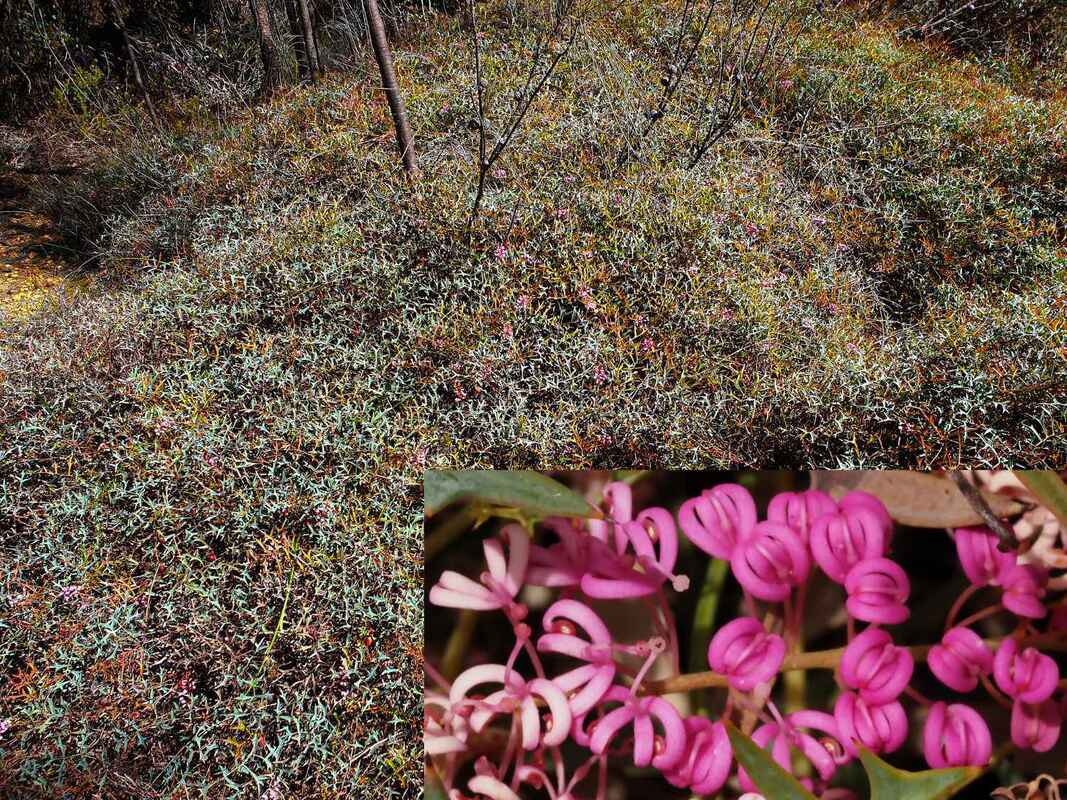
Alyogyne huegelii (Wheatbelt Hibiscus) is presently a dense understorey on a mafic loam slope in Ockley Nature Reserve. I clearly recall visiting this spot before the fire and taking a photo, which I later deleted because it was an unattractive view of scattered mallees on bark strewn ground with almost no understorey. It is now a dense mass of Alyogyne and other shrubs - Oh I wish I had kept that before fire image!
 Alyogyne Huegelii Ockley Nature Reserve |  Alyogyne spot Sept 2022 following fire |  Alyogyne spot Sept 2023 |
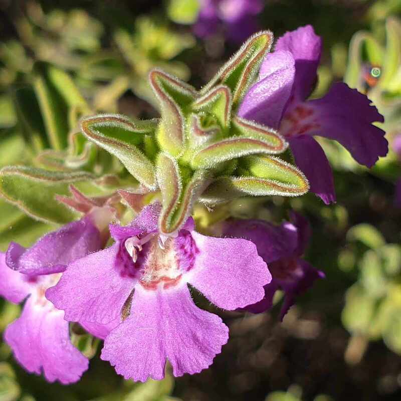
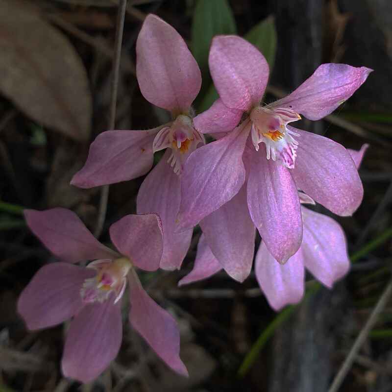
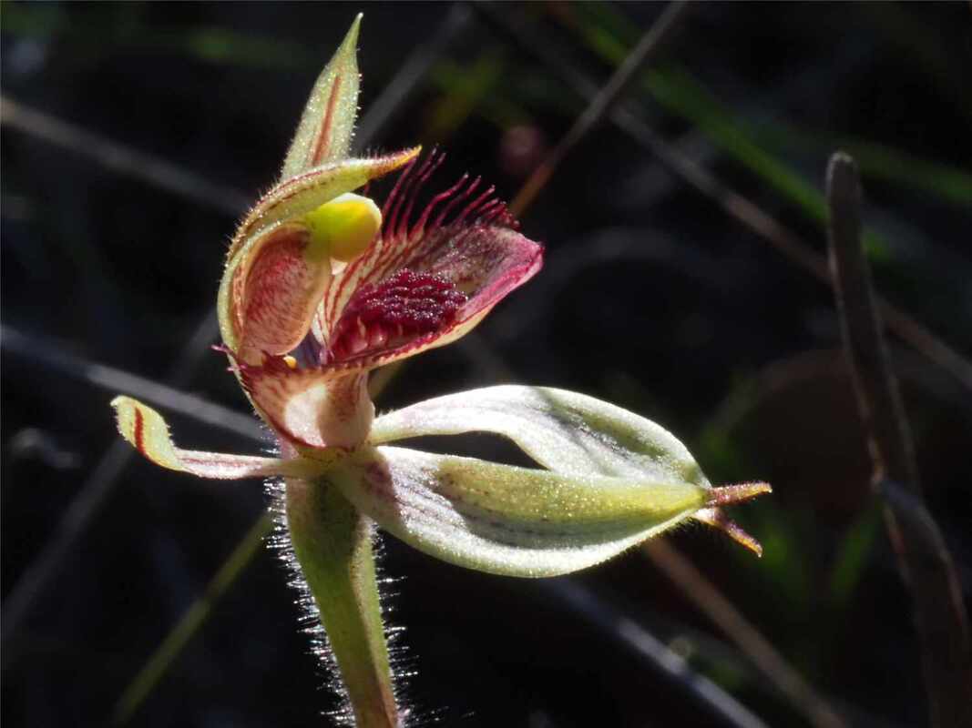
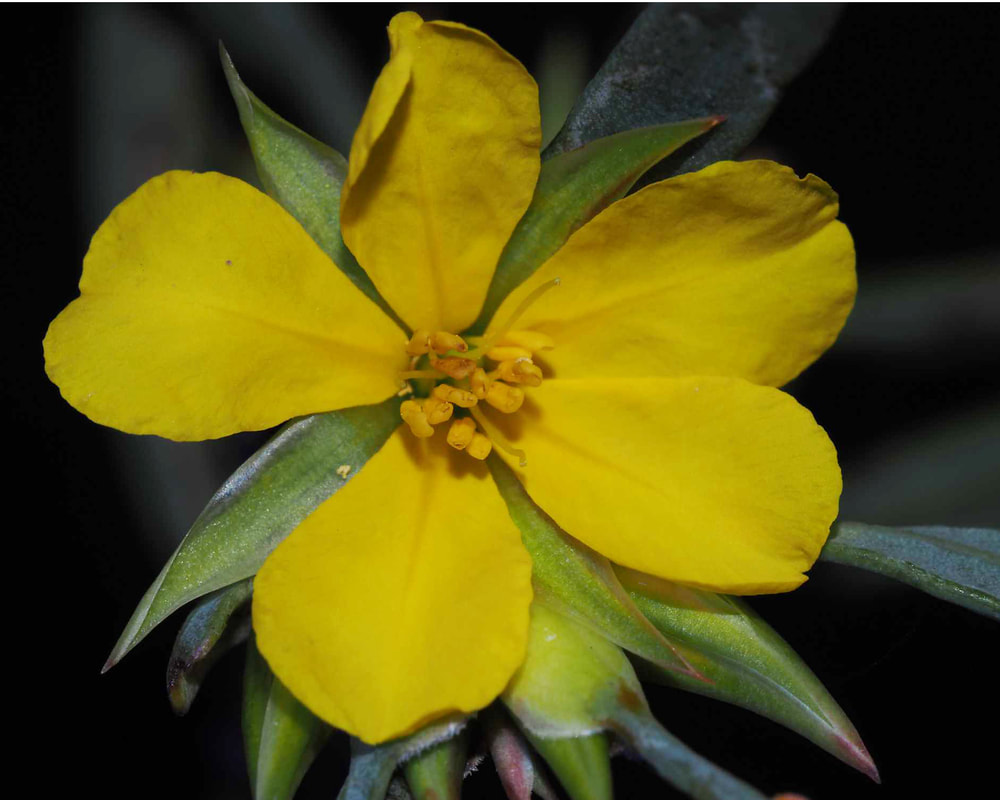
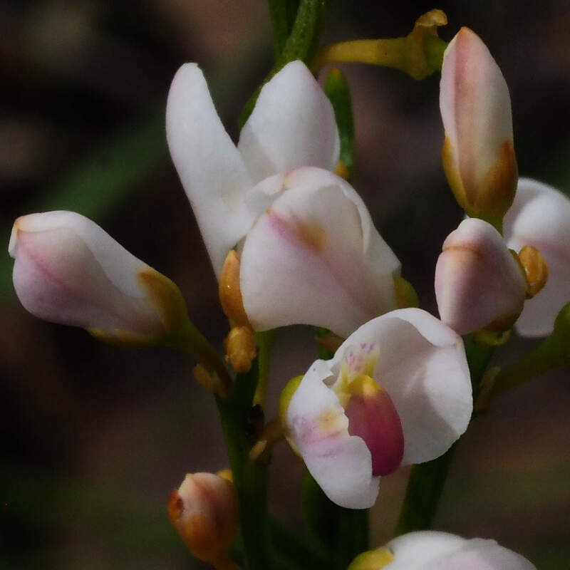
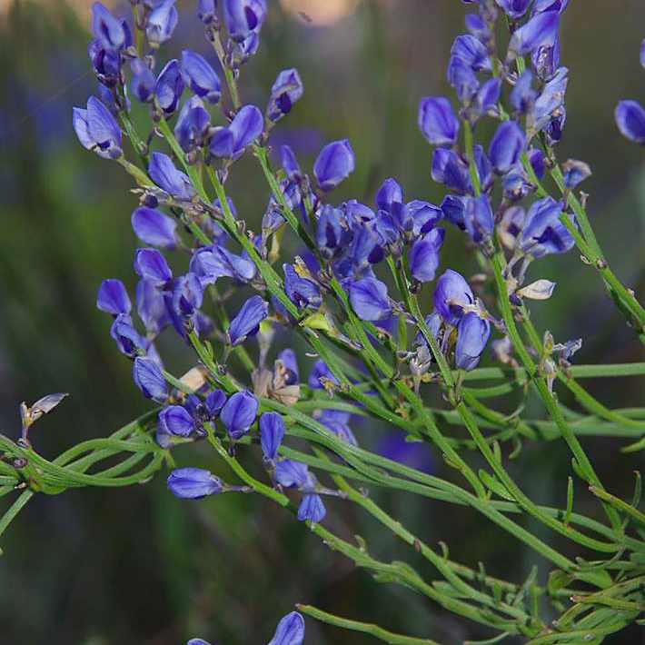
| I found Solanum symonii growing with Alogyne huegelii, in a few other spots at Ockley Nature Reserve under mallees, and on heavy red soil near Birdwhistle Rock. It has a green berry and is listed as an edible Kangaroo Apple. However but is very bitter, and other Solanaceae species such as the introduced Apple of Sodom are poisonous. From a distance the two flowers can seem to be similar, but they are from different families. Alyogyne huegelii was previously in the Bombacaceae (cotton family), but has been lumped into the huge Malvaceae family. It is a hairy plant with characteristic star shaped bristly hairs (Solanum symonii is smooth), and a dry fruit capsule. The flowers can be similary coloured, but the Alyogyne flower has a many stamens attached to a stamen tube, which surrounds the style. |  Solanum symonii |
 Birdwhistle Solanum symonii variant |  Solanum symonii flower |  Alyogyyne huegelii note stamen tube |
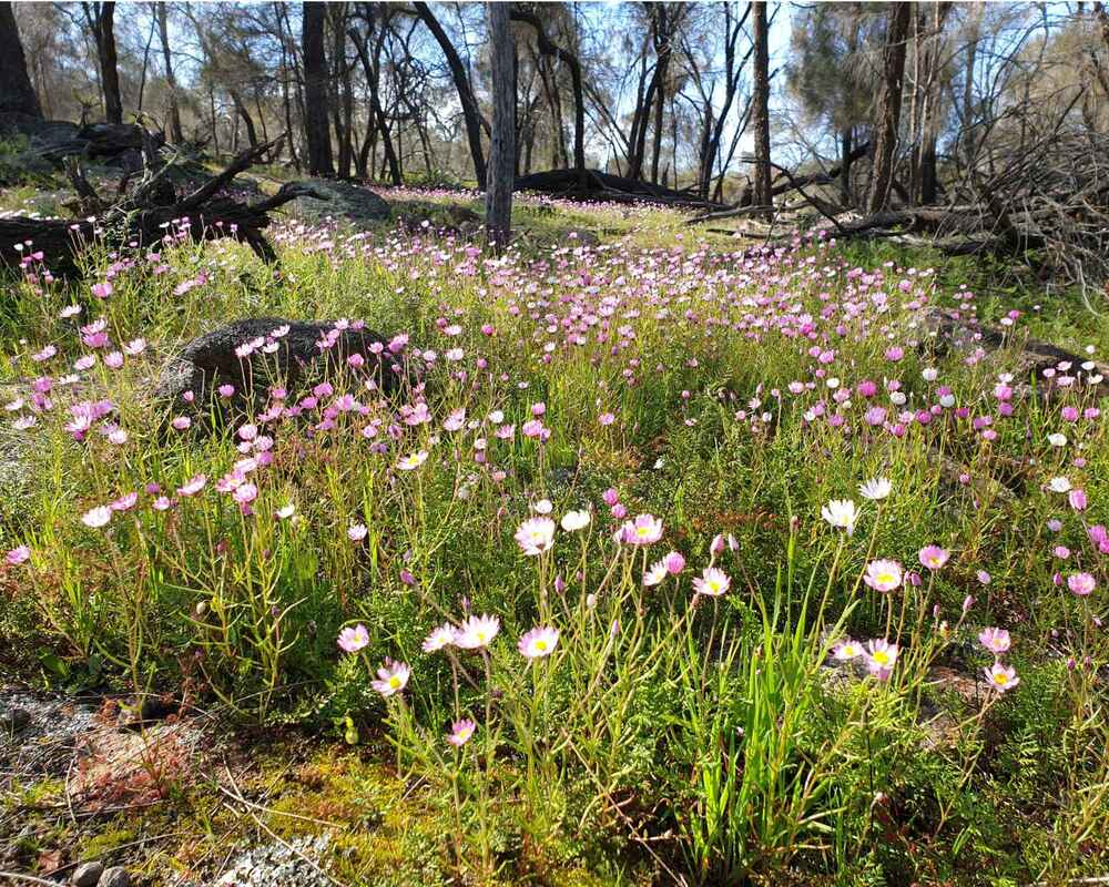
I also found several flowering Goodenia etheira plants on lateritic sand soil at Ockley Nature Reserve. This downy small flowered plant is only recorded further north in the Central Wheatbelt. I wonder how many other 'new discoveries' may be in the burnt area?
 Goodenia etheira plant |  Goodenia etheira flower |  Goodenia etheira flower |
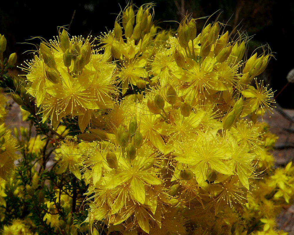
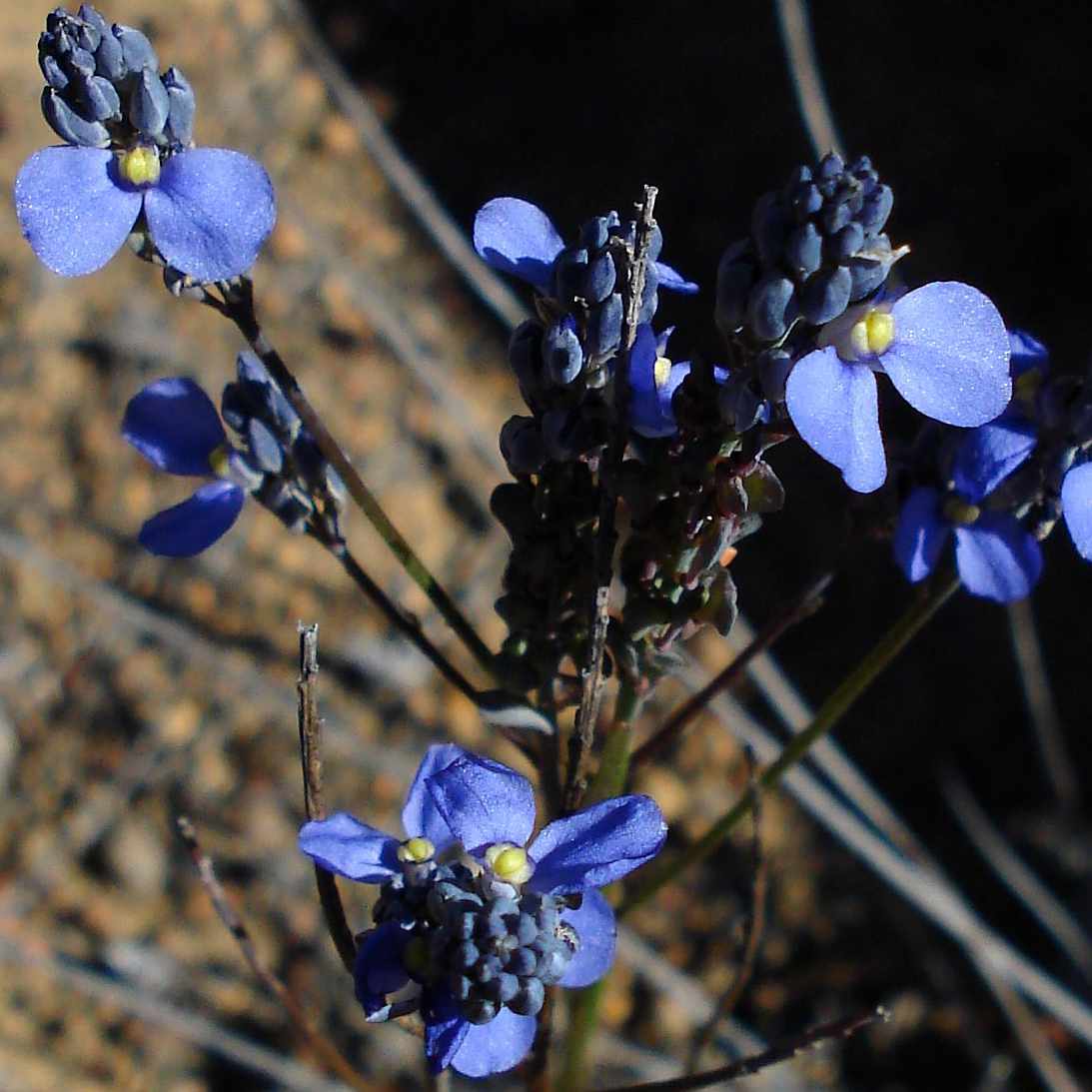
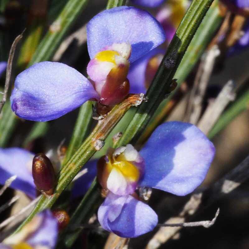
On light textured soils the main fire ephemerals have been Gyrostemon subnudis and Kennedyia prostrata, which have emerged in profusion at Birdwhistle Rock.